Geography of British Columbia
From Wikipedia, the free encyclopedia.

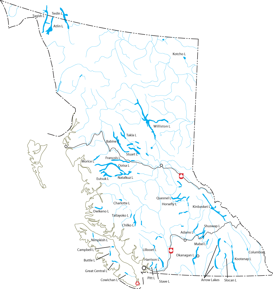
British Columbia is the westernmost province of Canada, bordered by the Pacific coast. It is bound on the northwest by the U.S. state of Alaska, directly north by Yukon and the Northwest Territories, on the east by Alberta, and on the south by the states of Washington, Idaho, and Montana. The southern border of British Columbia was established by the 1846 Oregon Treaty. The province is dominated by the presence of the Canadian Rockies, causing most of the population to be concentrated on the Pacific coast, notably in the area of Vancouver, located on the southwestern tip of the territory.
Contents |
Urban areas
British Columbia's capital is Victoria, at the southeast tip of Vancouver Island. Its most populous city is Vancouver. Other major cities include Surrey, Burnaby, Coquitlam, Richmond, Delta, and New Westminster in the Greater Vancouver Regional District (GVRD); Abbotsford and Langley in the Fraser Valley; Nanaimo on Vancouver Island; and Kelowna and Kamloops in the "Interior." Prince George is the major city nearest the centre of the province; however, a small town called Vanderhoof, 100 km to the west, is much nearer the geographic centre.
| Municipality | 2001 | 1996 |
|---|---|---|
| Vancouver | 545,671 | 514,008 |
| Surrey | 347,825 | 304,477 |
| Burnaby | 193,954 | 179,209 |
| Richmond | 164,345 | 148,867 |
| Abbotsford | 115,463 | 104,403 |
| Coquitlam | 112,890 | 101,820 |
| Saanich | 103,654 | 101,388 |
| Delta | 96,950 | 95,411 |
| Kelowna | 96,288 | 89,422 |
| Langley Township | 86,896 | 80,179 |
Statistics
- Total area is 944,735 km²
- Land area is 925,186 km²
- Water area is 19,549 km² (2.1%)

Physical geography
Terrain
The Canadian Rockies and the Inside Passage's fjords provide some of British Columbia's renowned and spectacular scenery, which forms the backdrop and context for a growing outdoor adventure and ecotourism industry. The Okanagan area is one of only three wine-growing regions in Canada and also produces excellent ciders, but exports little of either drink. The small rural towns of Penticton, Oliver, and Osoyoos have some of the warmest summer climates in Canada. Much of Vancouver Island is covered by a temperate rain forest, one of a mere handful of such ecosystems in the world (notable others being on the Olympic Peninsula of Washington and in Chile. One-third of the province consists of barren Alpine tundra, snowfields, and glaciers.
Climate
More northerly portions of the province's mainland have snowy, cold winters; however, southern portions and Vancouver Island are temperate in many places, where the climate is moderated by the Pacific Ocean. In the interior, summer temperatures can be quite warm, even notably hot and there are large semi-arid areas and a few localities classifiable as pocket deserts, including at the towns of Osoyoos and Lillooet. There is more than one spot in British Columbia that has recorded peak summer temperatures of 43.3 °C (110 °F) and an ongoing rivalry exists between the Fraser Canyon towns of Lytton and Lillooet for the title of "Canada's Hot Spot".
Parks and Protected Areas
There are 14 designations of parks and protected areas in the province that reflects the different administration and creation of these areas in a modern context. There are 141 ecological Reserves, 35 provincial marine parks, 7 Provincial Heritage Sites, 6 National Historic Sites, 4 National Parks and 3 National Park Reserves. 12.5% (114,000 km²) of BC is currently considered 'protected' under one of the 14 different designations that includes over 800 distinct areas.
British Columbia contains seven of Canada's national parks:
- Glacier National Park
- Gulf Islands National Park Reserve
- Gwaii Haanas National Park Reserve and Haida Heritage Site
- Kootenay National Park
- Mount Revelstoke National Park
- Pacific Rim National Park Reserve
- Yoho National Park
BC also contains a large network of provincial parks, run by BC Parks of the Ministry of Water, Land and Air Protection.
Political geography
British Columbia is divided into defined regions for three political purposes. One is for the purpose of providing local government services. This involves municipalities, which are incorporated areas, and regional districts, which are federations of member municipalities and rural areas. Another purpose is for the provision of provincial services. The provincial government has dividing certain services into regional services, such as health authorities and agricultural commissions, which administer specified regions according to their own policies. The province is also divided to provide electoral districts by Elections BC for provincial elections and Elections Canada for federal elections. In addition to these, Indian Reserves have been established throughout the province but are administered by the federal government.
Local Government
In order to fund community-wide services, such as a sewer system, urban areas incorporate to form municipalities. The vast majority of British Columbians live in these municipalities but there are also large areas of unincorporated rural areas around the municipalities. In 1964 the provincial government created regional districts, through amendments to the Municipal Act, to better coordinate regional issues and provide community services to unincorporated areas. Only one area, the sparsely populated Stikine Region in northwest B.C., is not covered by a regional district. It has a population of 1,352 people but covers an area of 135,391 sq. kilometers with no municipalities within its borders. All the regional districts and municipalities are members of the Union of British Columbia Municipalities
Regional districts

British Columbia is carved into 27 regional districts. These regional districts are federations of member municipalities and electoral areas. The unincorporated area of the regional district is carved into electoral areas. Each electoral area elects one director who sits on the Regional Board and the Electoral Area Directors Committee. The Islands Trust acts similar to a regional district for several unincorporated islands between the Lower Mainland and Vancouver Island.
The regional districts are used to provide local government services (eg. building inspection) to unincorporated areas, sub-regional services (eg. street bridge over a border) between two or more members, and regional services (eg. funding the regional hospital district) required for the entire area. Also, as a collection of municipalities they are able to borrow funds for capital projects at lower interest rates.
Municipalities
There are 153 municipalities in British Columbia. They are divided into cities, districts, towns and villages, according to their population at the time of their incorporation. There are also three other municipalities that were incorporated for special purposes. These are the Resort Municipality of Whistler, Sechelt Indian Government District, and Bowen Island Municipality. With the exception of the City of Vancouver all municipalities attain their legislative powers from the Local Government Act (formerly the Municipal Act), which is being replaced, in phases, by the Community Charter. Vancouver obtains its legislative authority from the Vancouver Charter.
Provincial and federal politics
Provincially, British Columbia has a two party system wherein the two major parties are currently the right-wing B.C. Liberal Party and the left-wing New Democratic Party of B.C.. The right-wing predecessor of the B.C. Liberal Party are the Social Democratic Party who dominated provincial politics for much of the twentieth century. The right-wing parties draw their support from the Lower Mainland suburbs (like Langley, Abbotsford, etc.), Kelowna, Kamloops, and northeastern B.C.. The New Democratic Party has traditionally drawn its support from more urbanized area such as Vancouver and Victoria, as well as northwestern B.C.. Swing areas include the B.C. Interior, certain urban areas within the Lower Mainland (like Surrey) and certain rural areas (like in southeastern B.C.)
Federally, the province is split between three parties: the Liberal Party of Canada, the Conservative Party of Canada, and the New Democartic Party of Canada.
External links
- Biogeoclimatic Zones of British Columbia
- Ecosystems of British Columbia
- List of parks
- Land Cover
- Relief Map of British Columbia
| Regions and Regional Districts of British Columbia | |
|---|---|
| BC Regions | Cariboo | Fraser Valley | Kootenays | Lower Mainland | Nechako | North Coast | Okanagan | Peace River | Sunshine Coast | Thompson | Vancouver Island |
| BC Regional Districts | Alberni-Clayoquot | Bulkley-Nechako | Capital | Cariboo | Central Coast | Central Kootenay | Central Okanagan | Columbia-Shuswap | Comox-Strathcona | Cowichan Valley | East Kootenay | Fraser Valley | Fraser-Fort George | Greater Vancouver | Kitimat-Stikine | Kootenay Boundary | Mount Waddington | Nanaimo | North Okanagan | Northern Rockies | Okanagan-Similkameen | Peace River | Powell River | Skeena-Queen Charlotte | Squamish-Lillooet | Stikine | Sunshine Coast | Thompson-Nicola |

