Potomac Highlands Bike Tour
June 18 - 22 2005
Read Laurel's Trip Report
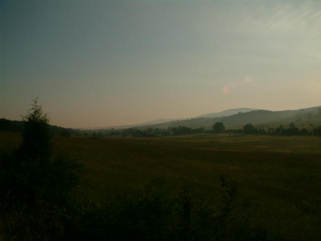
Looking north from US Rt 50 near the motel in Burlington - our start and finish location.
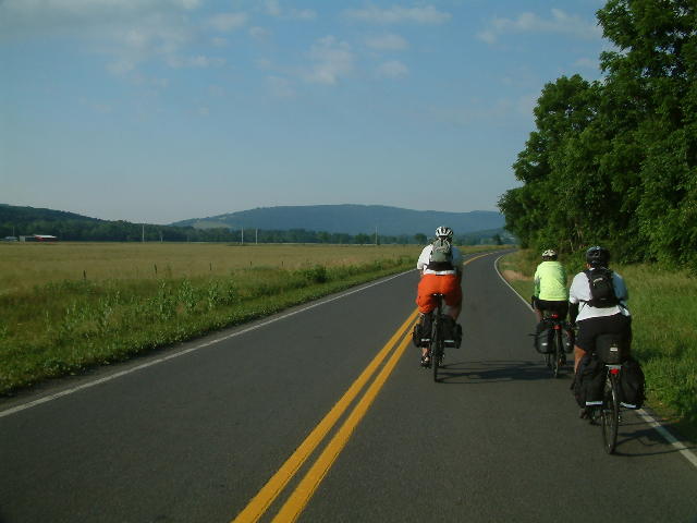
Patterson Creek Road
Patterson Creek Road

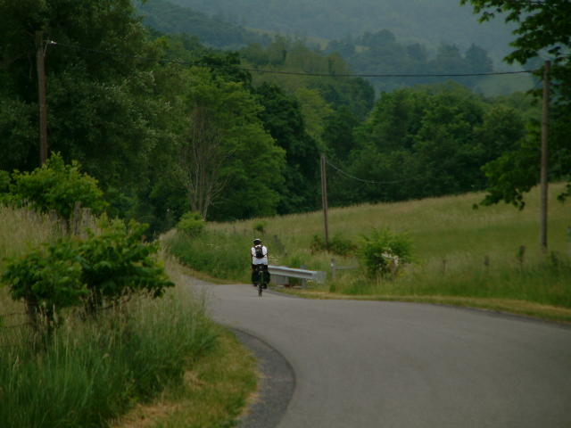
One of many times the group stopped to let me catch up.
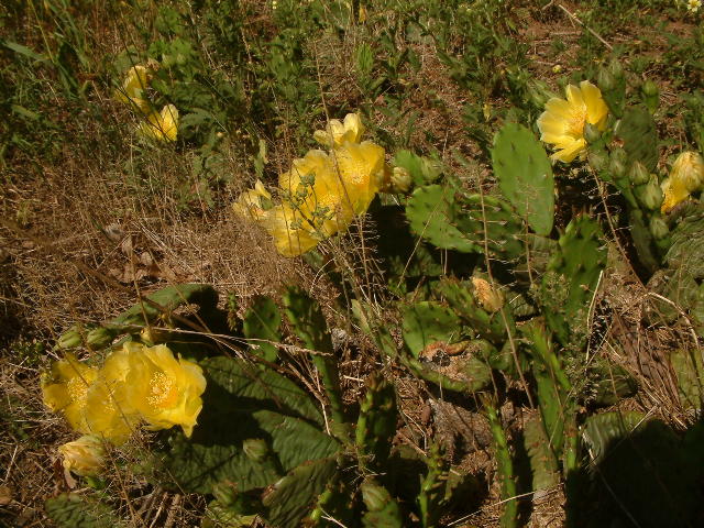
Prickly Pear cactus ( Opuntia humifusa ) is fairly common in this part of West Virginia.

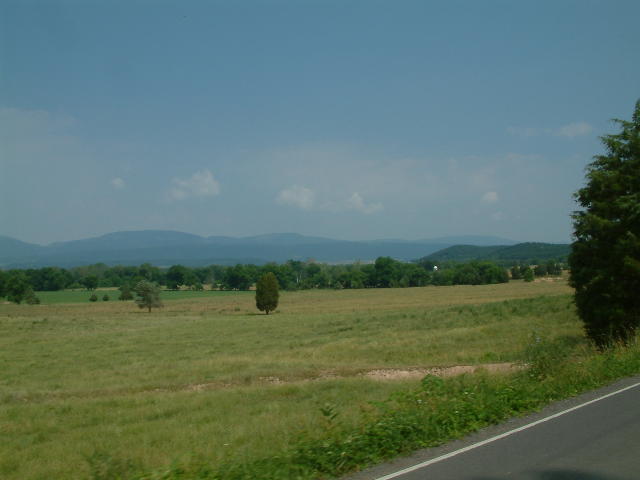
This beautiful view was to be a preview of the next 4 days.
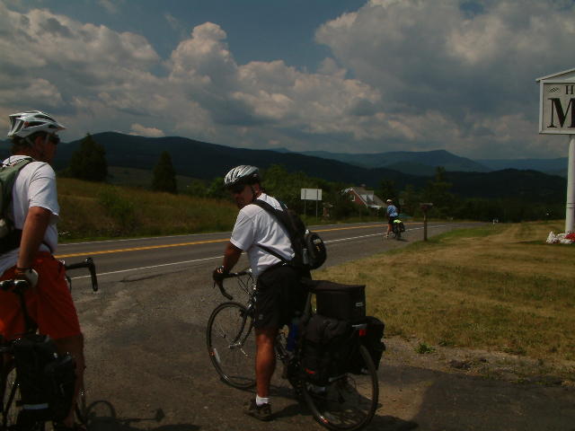
On the south side of Petersburg.
Can't remember this location.

Just north of Seneca Rocks.

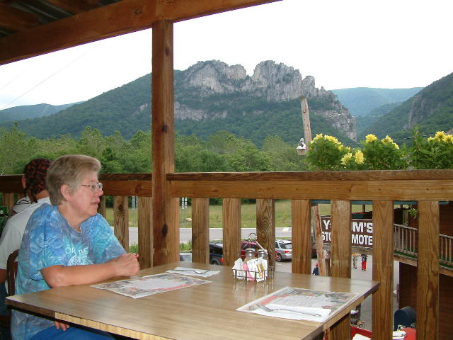
Seneca Rocks, where we spent our first night.
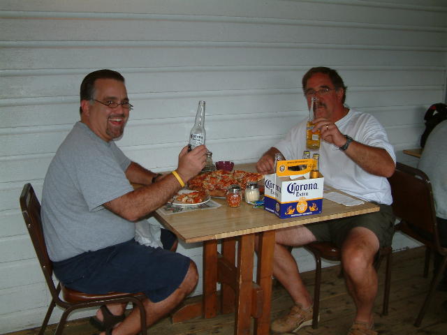
Waiting for dinner along with several hundred obnoxiously noisy Harley riders.
The rewards of riding.
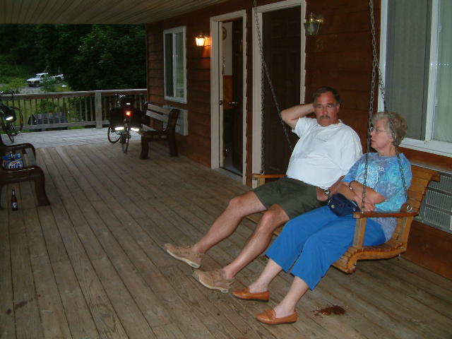
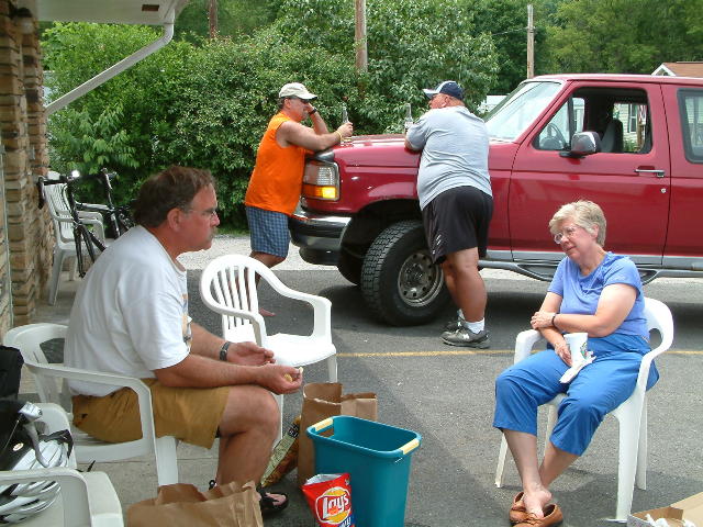
Chewin' the fat on the front porch swing. Bottles in the background were waiting to be emptied.
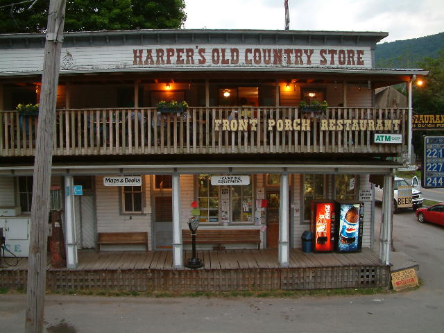
This is where we had our supper and bought our beverages.

The view of Seneca Rocks on Sunday morning.

Residence near Yokums store.
US 33 looking north towards Seneca Rocks.

About 3 miles south of Seneca Rocks.
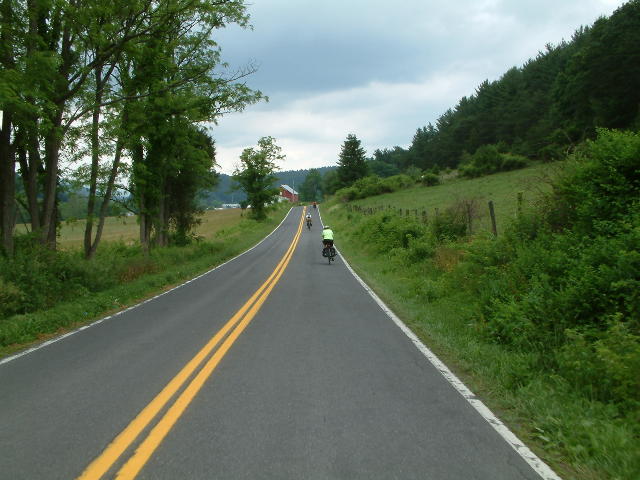
Rt 17 in Pendleton County near Cherry Grove.

Highland Inn at Monterey, VA

Yep, that's a padlock and chain. In Monterey they take their ban on Sunday alcohol sales seriously. However, Rich and Donnie managed to overcome this minor obstacle.
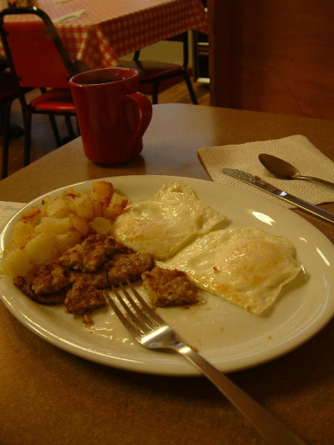
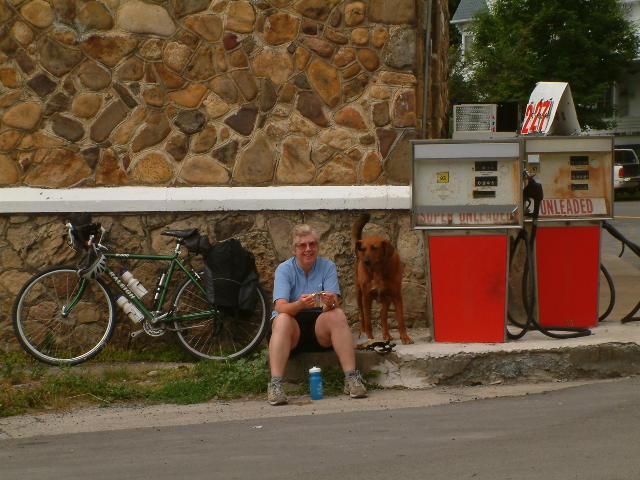
My daily bike fuel.
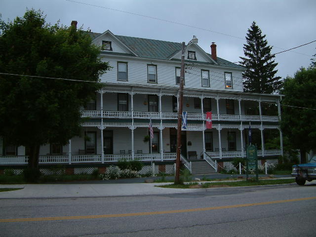
Highland in at 6:30 AM.
We had lunch, supper and breakfast here.
I stayed at the Montvallee Motel two blocks from the Highland Inn. Is was 20 bucks cheaper, on the ground floor and was clean and spacious.
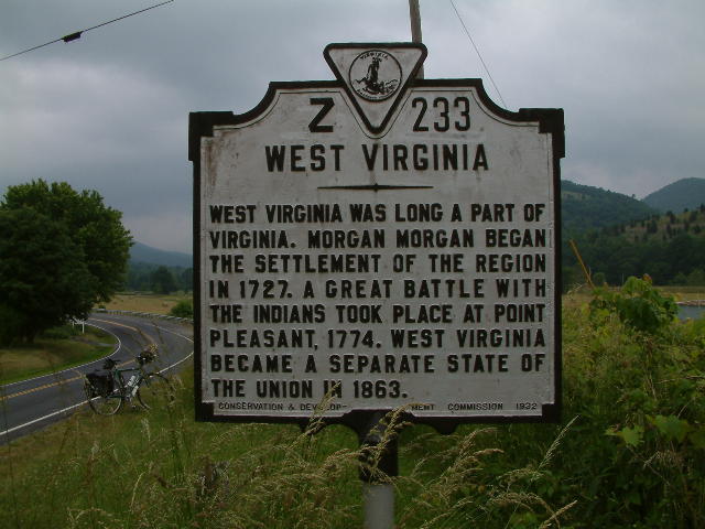
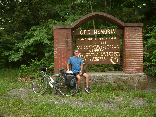
Border Historical Marker on US 220
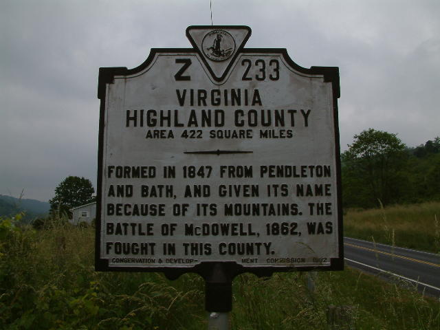
Border Historical Marker on US 220.
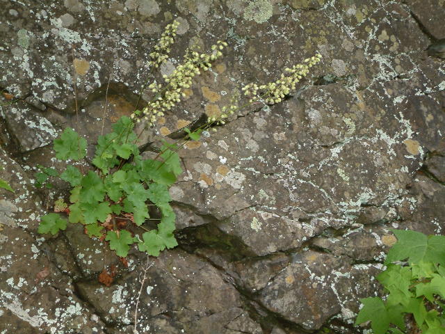
There were many wildflowers to look at along the way. This one is Alum Root ( Heuchera americana ). It was on Rt 25/Moyer Gap Road. This road crossed Jack Mountain and ended up in Sugar Grove. It was a good climb.
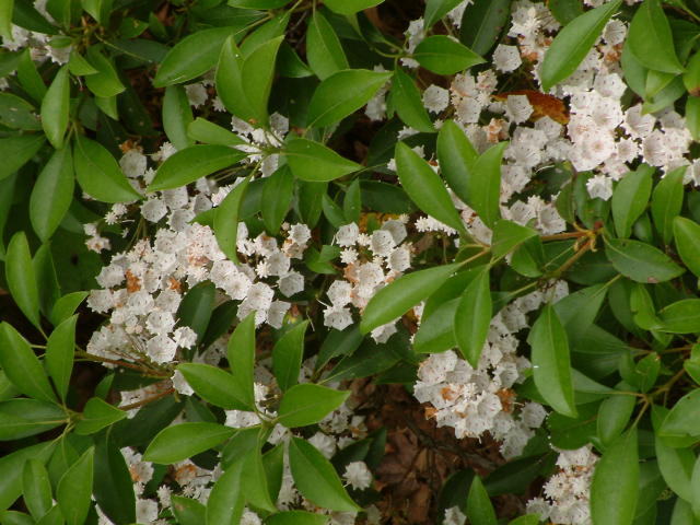
Mountain Laurel ( Kalmia latifolia ). Same location as above.
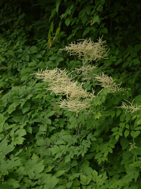
Goat's Beard ( Aruncus dioicus ). Same location as above.
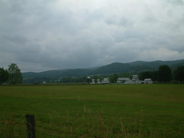
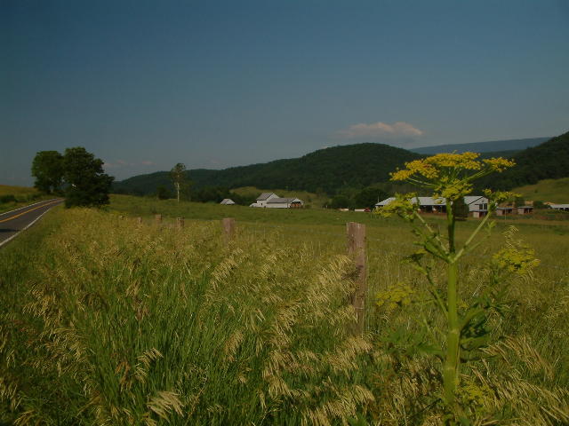
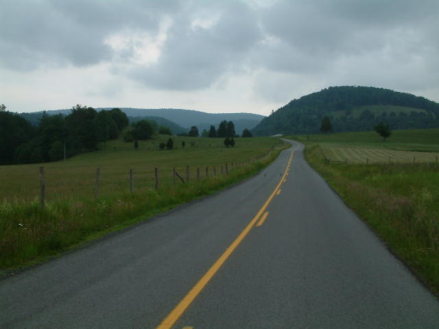
Sugar Grove Valley.
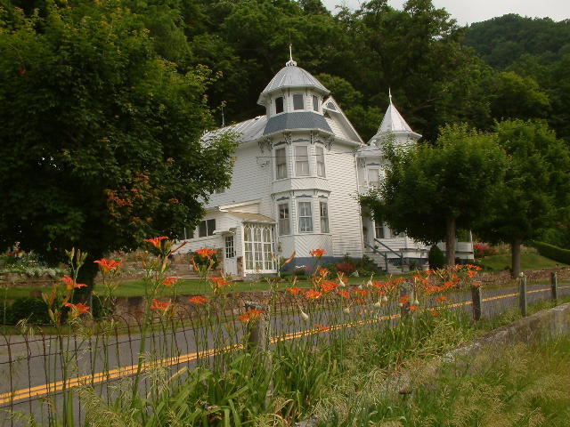
A fine old Victorian at Sugar Grove.
As always, Laurel instantly befriended the locals.
Donnie and Rich were late in getting off Jack Mountain. A couple people stopped to tell Laurel and I they were fixing a flat. It turned out two local dogs hassled them the whole time they were working on the the flat.
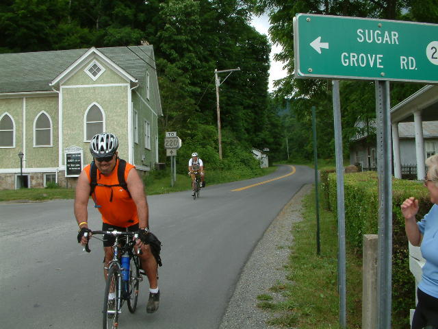
Just north of Sugar Grove on Rt 21
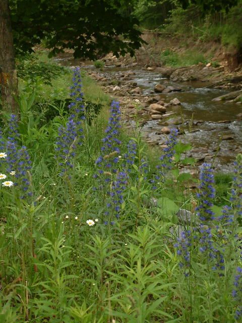
We saw lots of the this plant. It is Vipers Bugloss ( Echium vulgare ). The flowers open, one or two at a time, on curled branches. The leaves and stems are bristly with hairs. Viper's bugloss was introduced from Europe in colonial times.
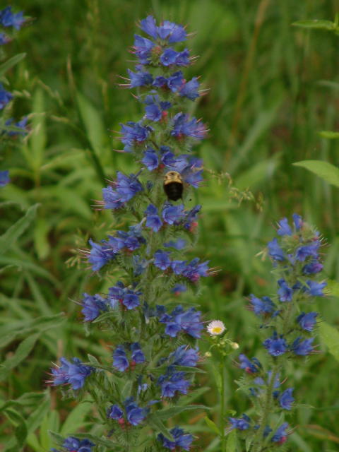
Same as above.
Can't remember this location.
Can't remember this location.
After ride party at the hotel in Brandywine. Donnie is chatting with and old buddy he used to work with.

Near Fort Seybert on Rt 3.

Crest of Sweedlin Hill near Fort Seybert on Rt 3.

Fisher Run? North of Fort Seybert.

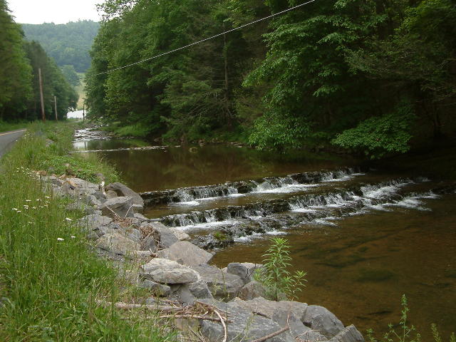
South Fork of the South Branch of the Potomac River.

South Fork of the South Branch of the Potomac River. Sweedlin Valley, at the Pendleton / Hardy County line.
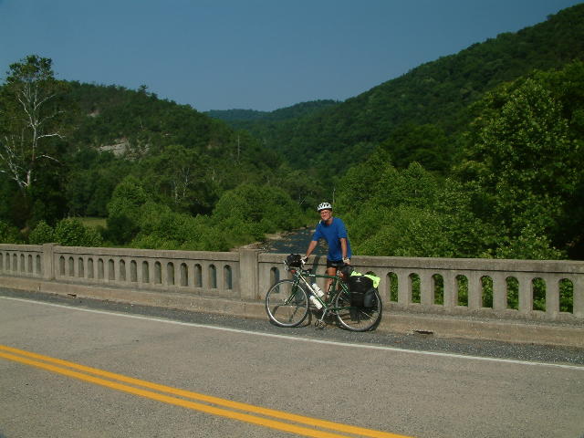
As above. A fully loaded log truck flew across this bridge while we were in the middle of it. I swear the bridge must have moved up and down 3 inches. Scary.
Just up the hill from here we found Rich and Donnie talking to a fellow who was originally from Northern England. He lived by himself in an old school house with no electricity.
Just south of Moorefield on Rt 7 / South Fork Road.
Dinner at McMechen House in Moorefield.
We rolled in to Moorefield around 11:00. Donnie asked a local about the hotel and lunch. We ate lunch at the Harvest Grill Restaurant on North Main Street. The food and service were good.
The Evans Motel was just down the road. When we got there it was about 12:30. rich propsed the idea of continueing on the rest of the way which was another 30 miles. We checked with the motel clerk who informed us we would still have to pay because of the late cancellation. After more discussion Rich and Donnie decided to go and and Lauel I were to stay. Rich gave me their hotel key "just in case".
We said our farewells and then Laurel and I caught a quick nap and then walked around downtown and checked out the local newspaper a the library. I walked beyond the hotel for a few brews and met back at the hotel. I missed my drinkin' buddies, Rich and Donnie.
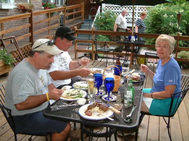
Laurel and I had reservations at McMechen House for 6:00. We had no more stepped out of the hotel rooms to walk to dinner that Donnies van rolled into the hotel. Donnie and Rich exited the van grinning and oepnd the back door. To my delight there was a cooller stuffed with ice and long necks. Yippee!! It seem they missed us so much they turned around after about 20 minutes on the road and headed back to party with us. Most Excellent!!
We all 4 headed up to McMechen House in Donnies van and had a great meal. It would not have been the same without them.
After dinner the party continued back at the hotel and we had quite a "late" nite - lights out at 10pm.
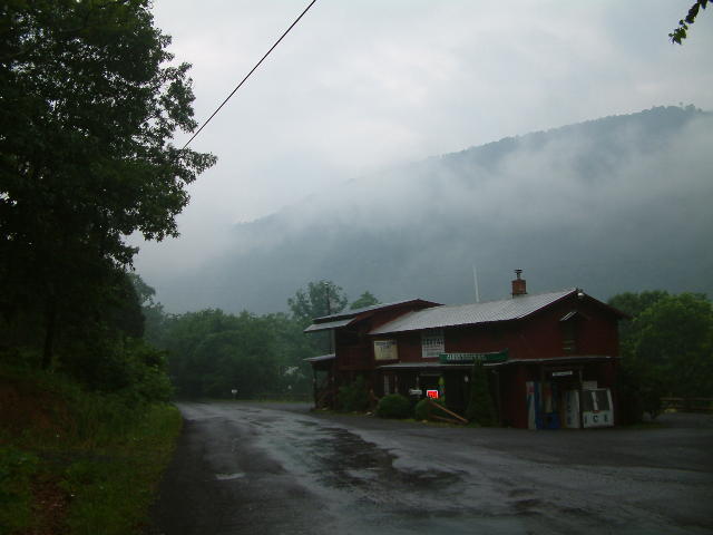
Trough General Store, Rt 6 / Trough Road.
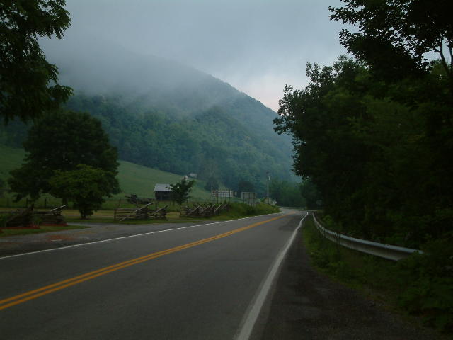
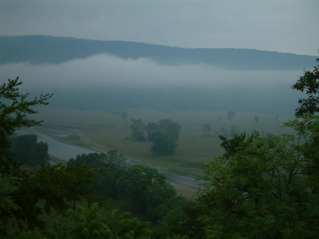
The next morning Rich joined Laurel and I for breakfast and Donnie slept in. As soon as we finished breakfast it started to sprinkle and within a few minute is was a steady, dreanching rain. This continued for about and hour, then it lessesened and eventually quite and warmed back up. The rainey part of the ride was like being in a cloud forest.
South Branch River.