

Saturday, February 14
Valentines day. I awake and arise at my usual 5AM. I throw on some clothes and leave the hotel room for the 3 block drive down to the 24 hour service station. I get a large coffee and drive back up to the motel. This has been my morning routine for the past three days.
On my way back I notice a raging fire at Coopers Bar-B-Q, which is just across the street from the hotel. I enter my room, drop the coffee and grab my camera and cross the street. The fire is contained in a large metal box about 3'x6' and I can feel the heat from 20' away. I snap some photo and then head back to the room.
I sit and ruminate and make some plans for the day. High on my list is calling my Ever Lovin' to wish her a Happy Valentines Day. But, that will have to wait as I know she is snoozing away as I sit there nursing my coffee. So, I work on my journal, catch up on some email and start a new round of photo selection, processing and web work.
8 o'clock rolls around and I figure it is probably safe to call and not awaken her. I am right - but just barely. I caught her just as she "crawled out". We chit chat and catch up and make plans for our own little Valentines Party upon my return.
But, in the mean time, I continue with my web work and firm up my plans for the day. I decide to wander up the road about 45 miles to what appears to be an out of the way State Park called Colorado Bend. But first I must spend more hours than most would believe getting the latest page done.
Around 1PM I finally finished up the web work to my satisfaction. I eat what passes for lunch - graham crackers with peanut butter and a large glass of milk. I start to organize my stuff and load the car. It is still cloudy and a bit on the cool side so I throw in wind breaker ans some fleece.
I drive north 16 miles up SR 16 to the small town of Cherokee where Ranch Road 501 east intersects. According to the map 501 goes directly to the town of Bend and to the State Park, but the is not sign for the State Park at that juncture. I see the local store is open and decide to confirm I am indeed on the right route. The proprietress confirms this.
I wind my way 15 miles down 501 to the junction of Ranch Road 580, make a right and in 1.25 mile bear to the right onto ?????. As I drive down the windy, dusty, gravel road I start seeing signs saying "Please do not leave your car - Private property." At the point where the road crosses a low water bridge across Cherokee Creek there is a large sign stating: "Enjoy the view, but stay in our car. No swimming or fishing - Private Property".
I could not help wondering what the big deal was. Who would end up way back here and be wandering all over the place? Curious.
I was to find out later.
Click on these photos for a higher resolution image.
They will be sl o o o w to load with a dial-up connection.
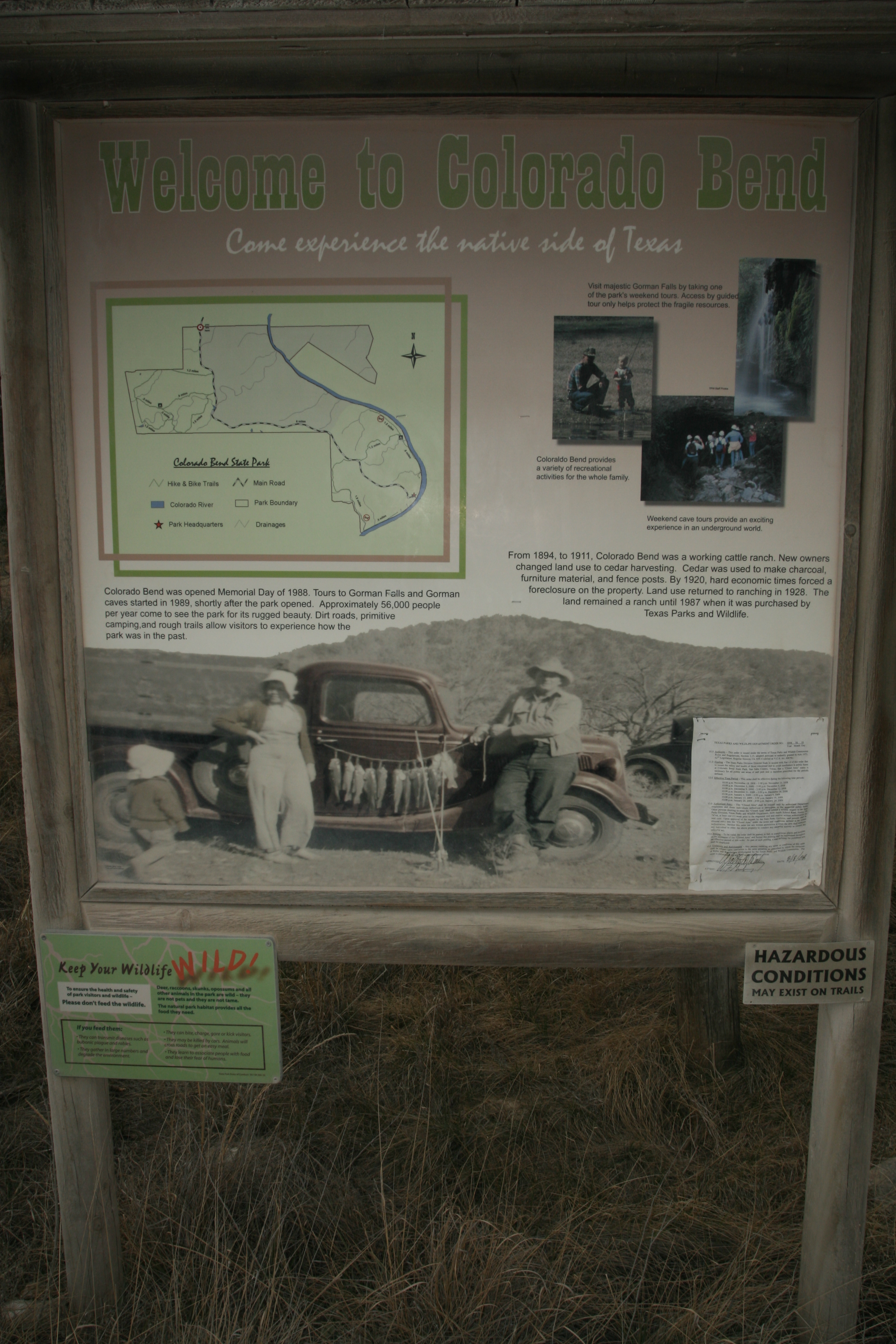
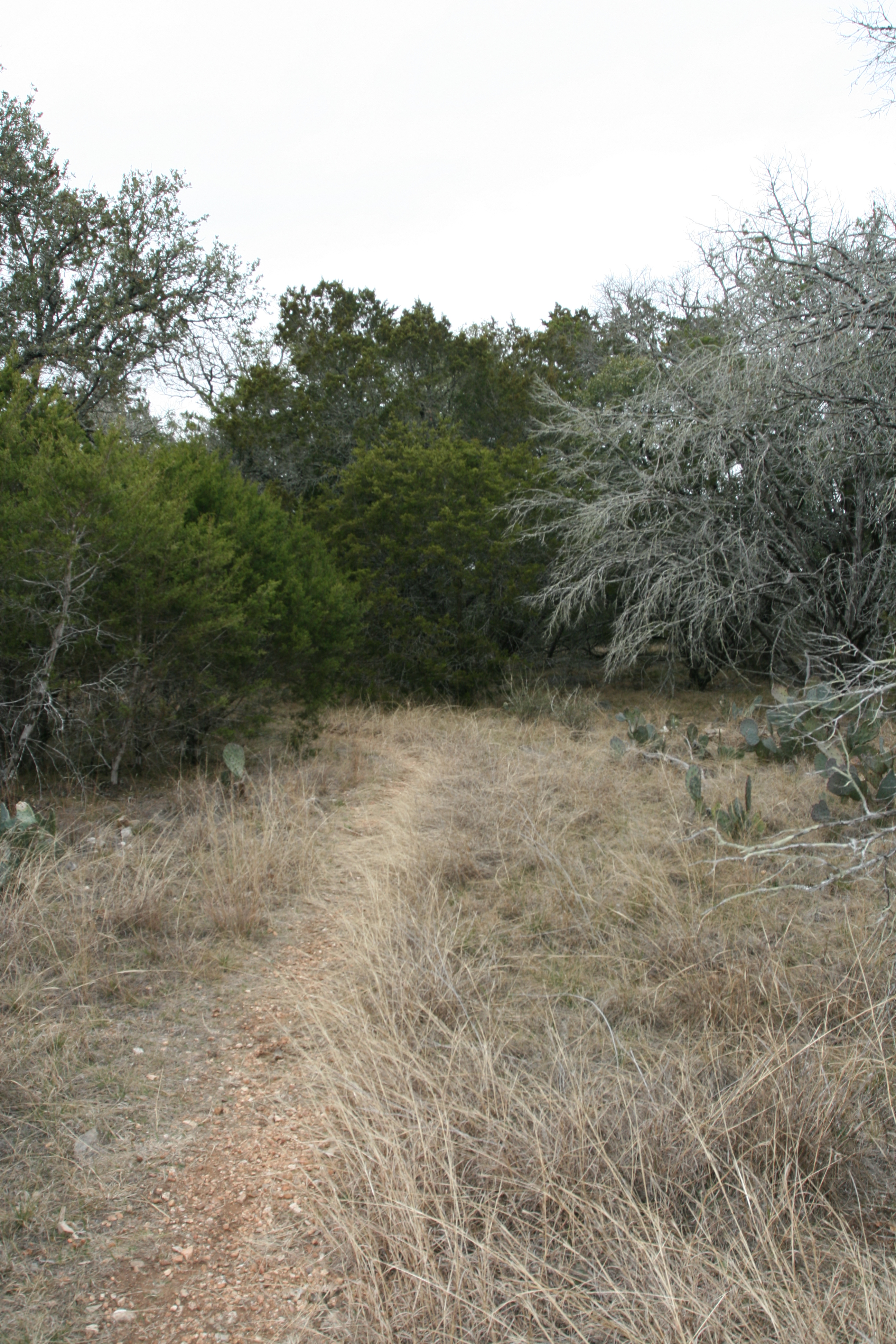
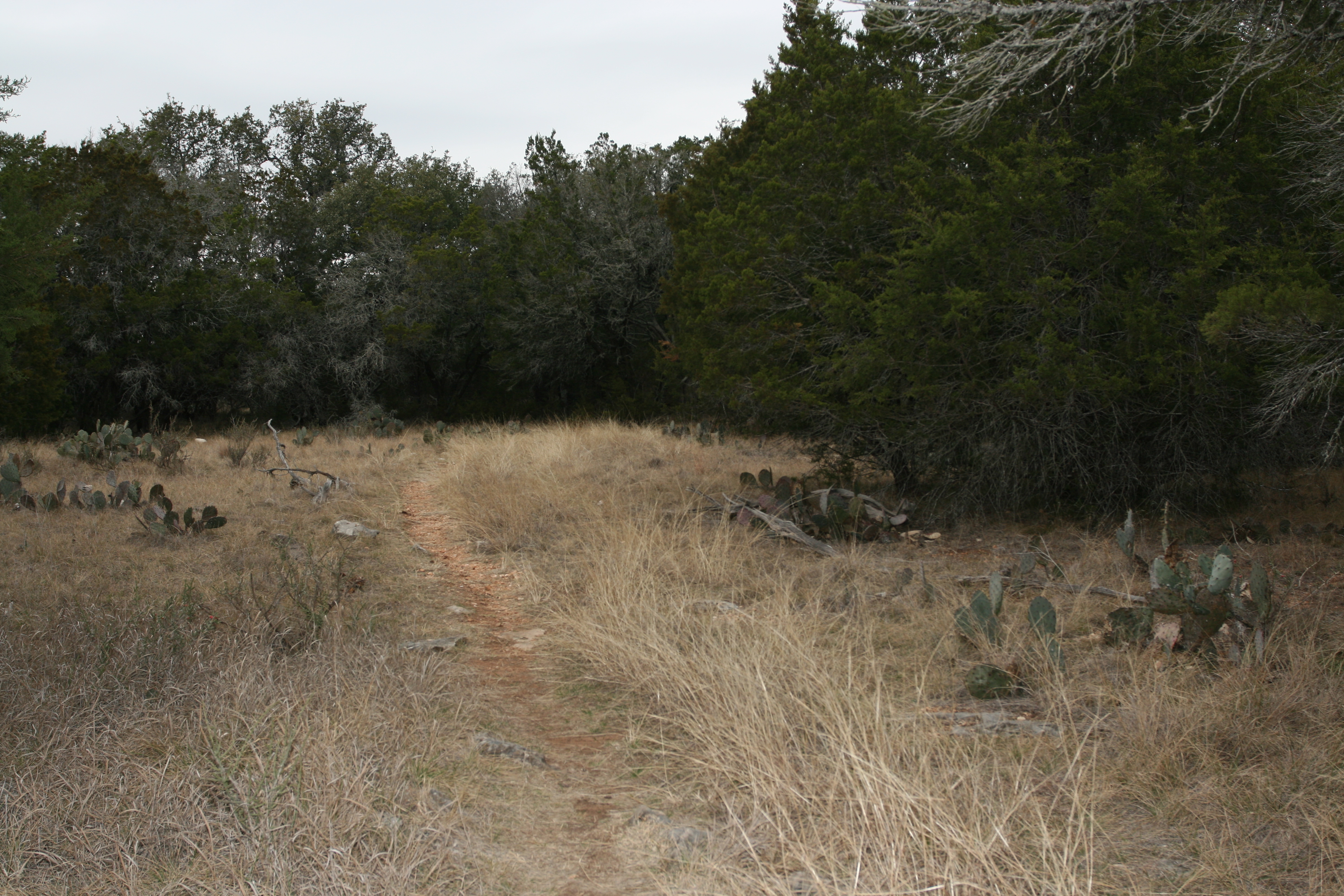
I headed down the dusty road and it was not long before I realized I was not in the " middle of nowhere", but at a very well known and visited area. Car after car passed me in the opposite direction and before long I had several cars behind me. Every trail head parking lot had numerous cars and some were full and overflowing. Yikes!
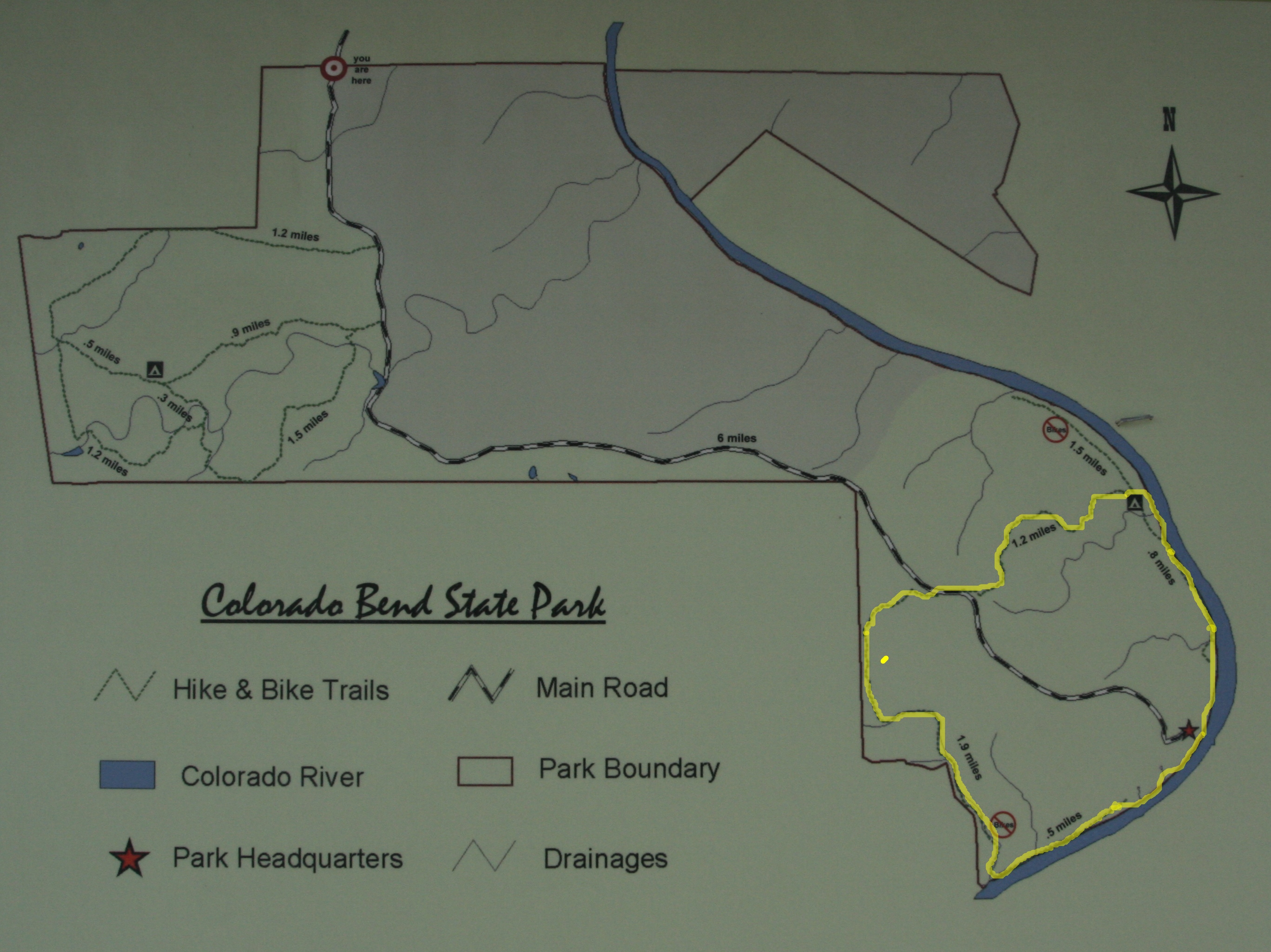
Detail of the kiosk map. The section I hikes is highlighted, about 5.5 miles.
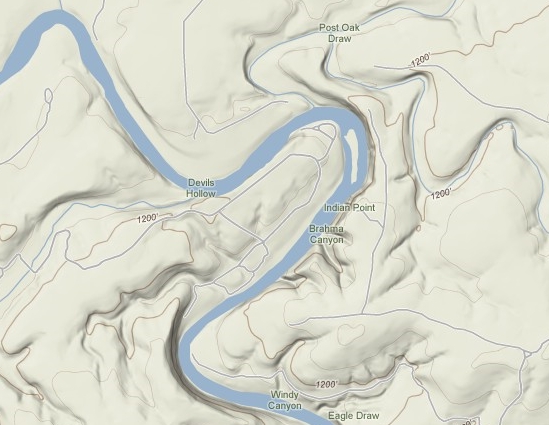
A look at the relief in area of the Colorado Bend.
Source: © Google Maps
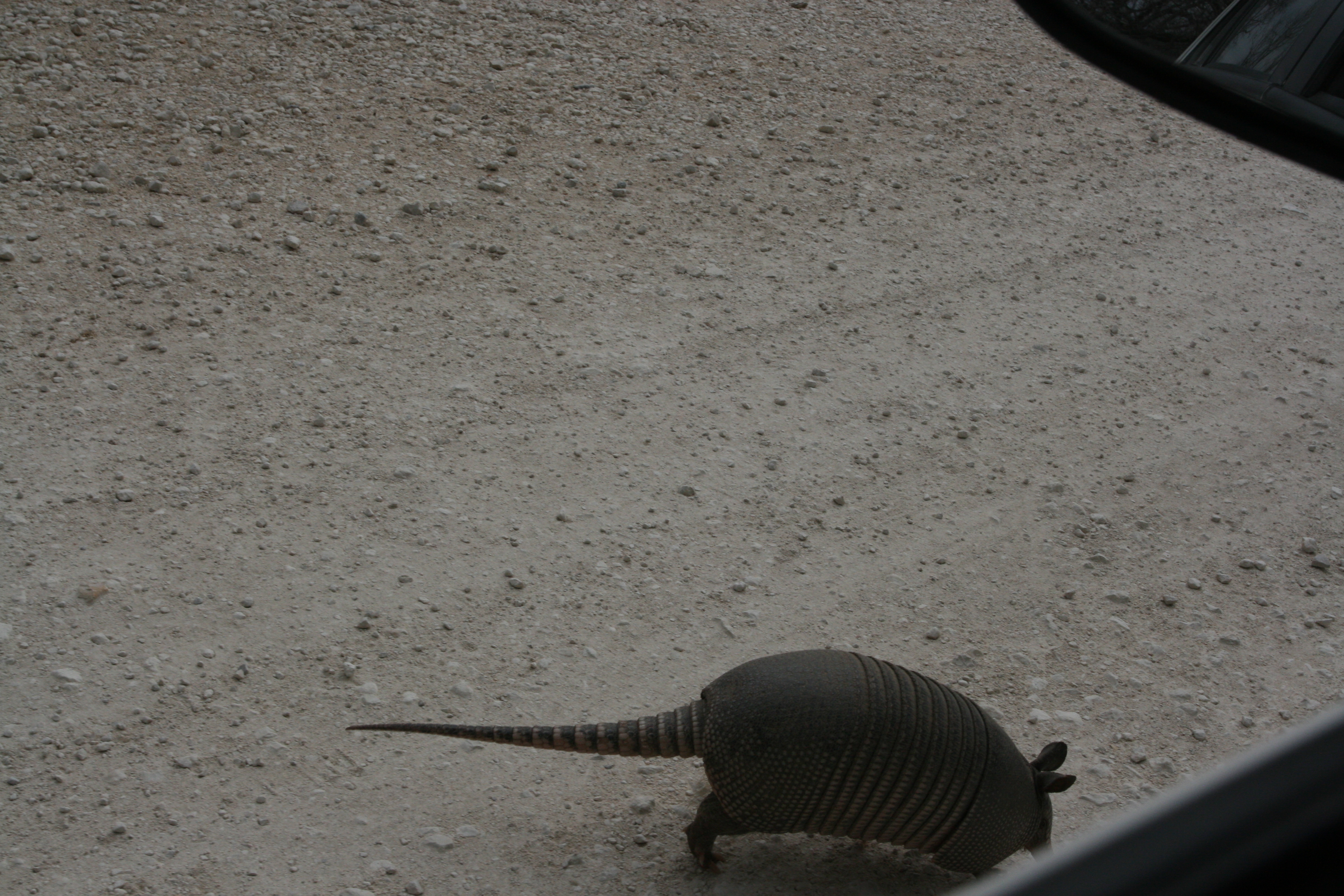
I finally wound my way down to the Park HQ, got a trail map ans suggestions on where to hike, It was on the way to the trail head this critter damn near ran under the from tire of the car! I took this hasty shot from the car.
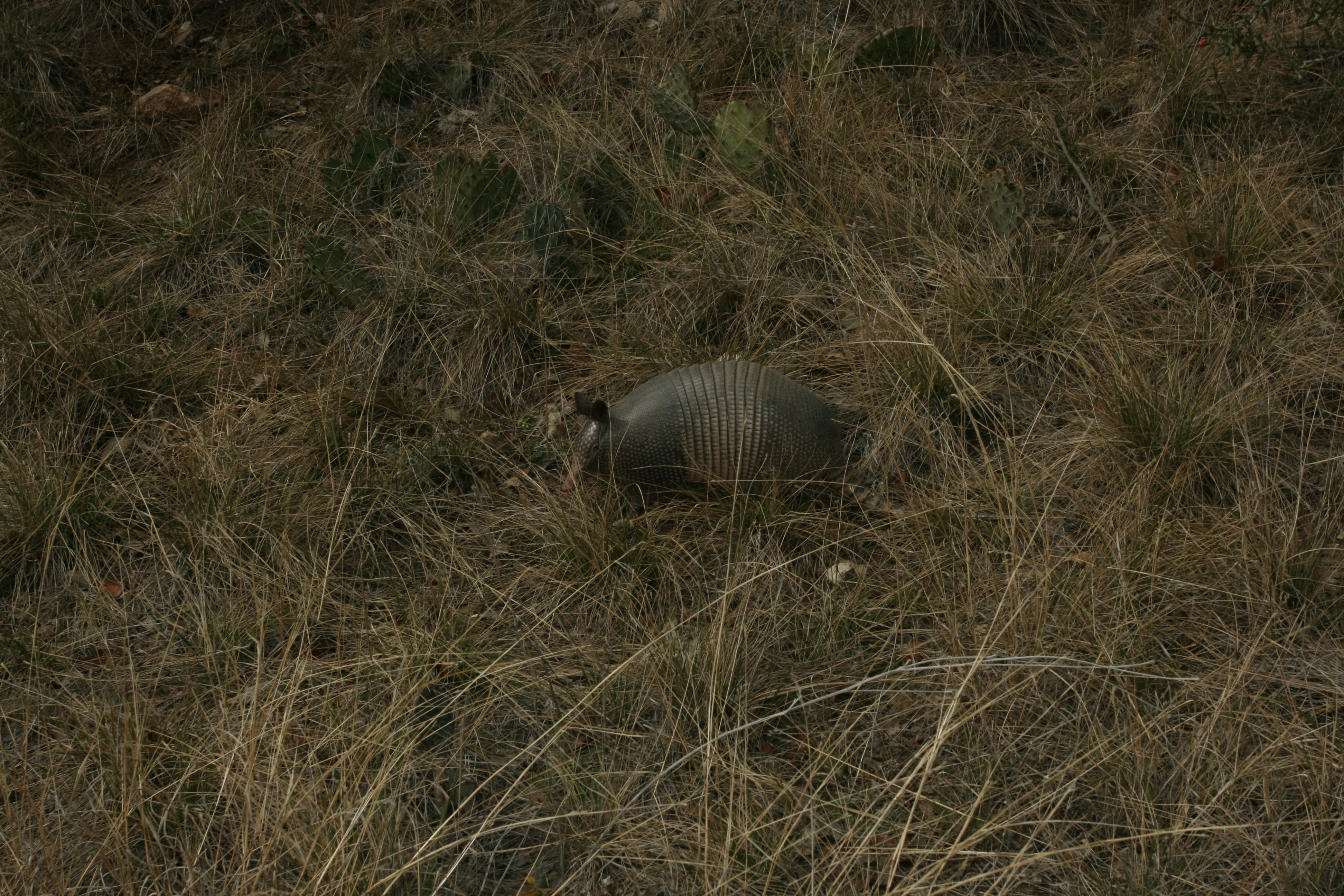
I hastily parked the car and tried to get a closer look, but it kept moving off.

This is a cropped detail of the above photo. These are really weird looking critters. I would love to be able to see what their "shell" felt like and get a really close look.
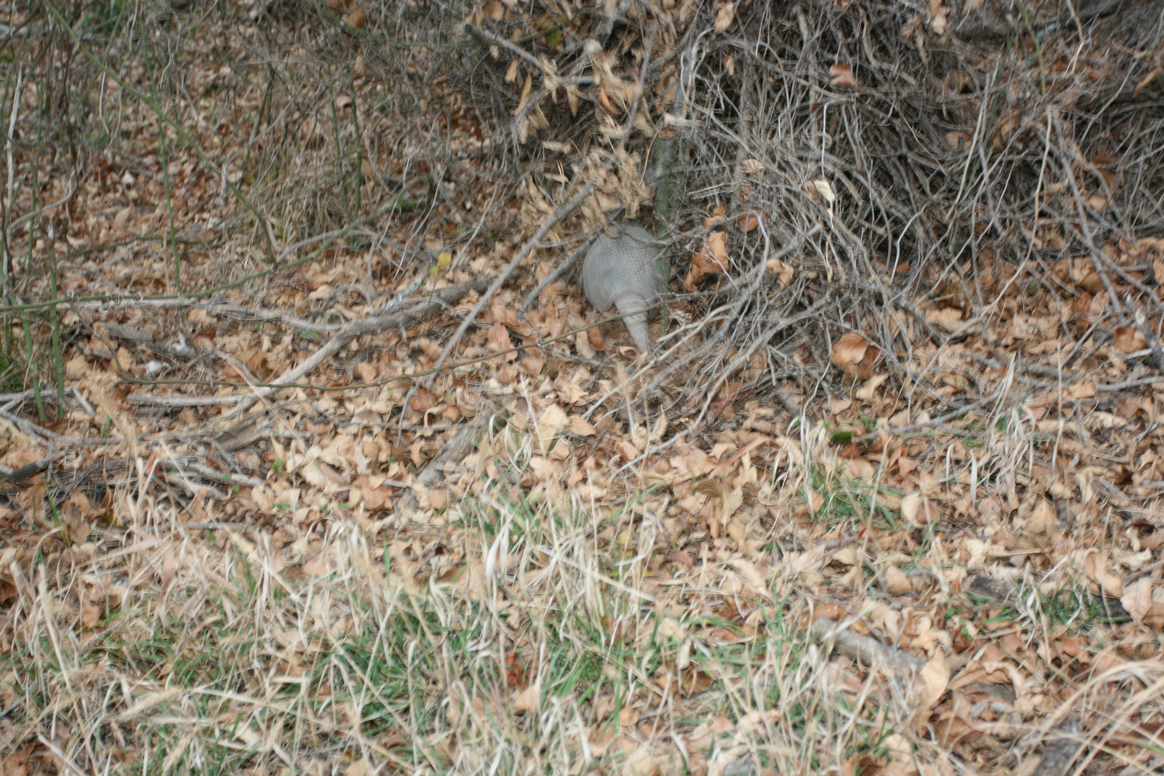
The Armadillo finally had enough of my pestering and took off into the brush.
Armadillos are small placental mammals, known for having a leathery armor shell. The Dasypodidae are the only surviving family in the order Cingulata, part of the superorder Xenarthra along with the anteaters and sloths. The word armadillo is Spanish for "little armored one".
In the United States, the sole resident armadillo is the Nine-banded Armadillo (Dasypus novemcinctus), which is most common in the central southernmost states, particularly Texas. Their range is as far east as South Carolina and Florida and as far north as Nebraska; they have been consistently expanding their range over the last century due to a lack of natural predators and have been found as far north as Illinois and Indiana.
Armadillos are prolific diggers. Many species use their sharp claws to dig for food, such as grubs, and to dig dens. The Nine-banded Armadillo prefers to build burrows in moist soil near the creeks, streams, and arroyos around which it lives and feeds. The diet of different armadillo species varies, but consists mainly of insects, grubs, and other invertebrates. Some species, however, are almost entirely formicivorous (feeding mainly on ants).
During the Great Depression, the species was hunted for its meat in East Texas, where it was known as "Hoover Hog" by those who considered President Herbert Hoover to be responsible for the depression. Earlier, German settlers in Texas would often refer to the armadillo as Panzerschwein ("armored pig"). In 1995, The Nine-banded Armadillo was, with some resistance, made the state small mammal of Texas, where it is considered a pest and is often seen dead on the roadside. They first forayed into Texas across the Rio Grande from Mexico in the 1800s, eventually spreading across the southeast United States.
Source: WikiPedia
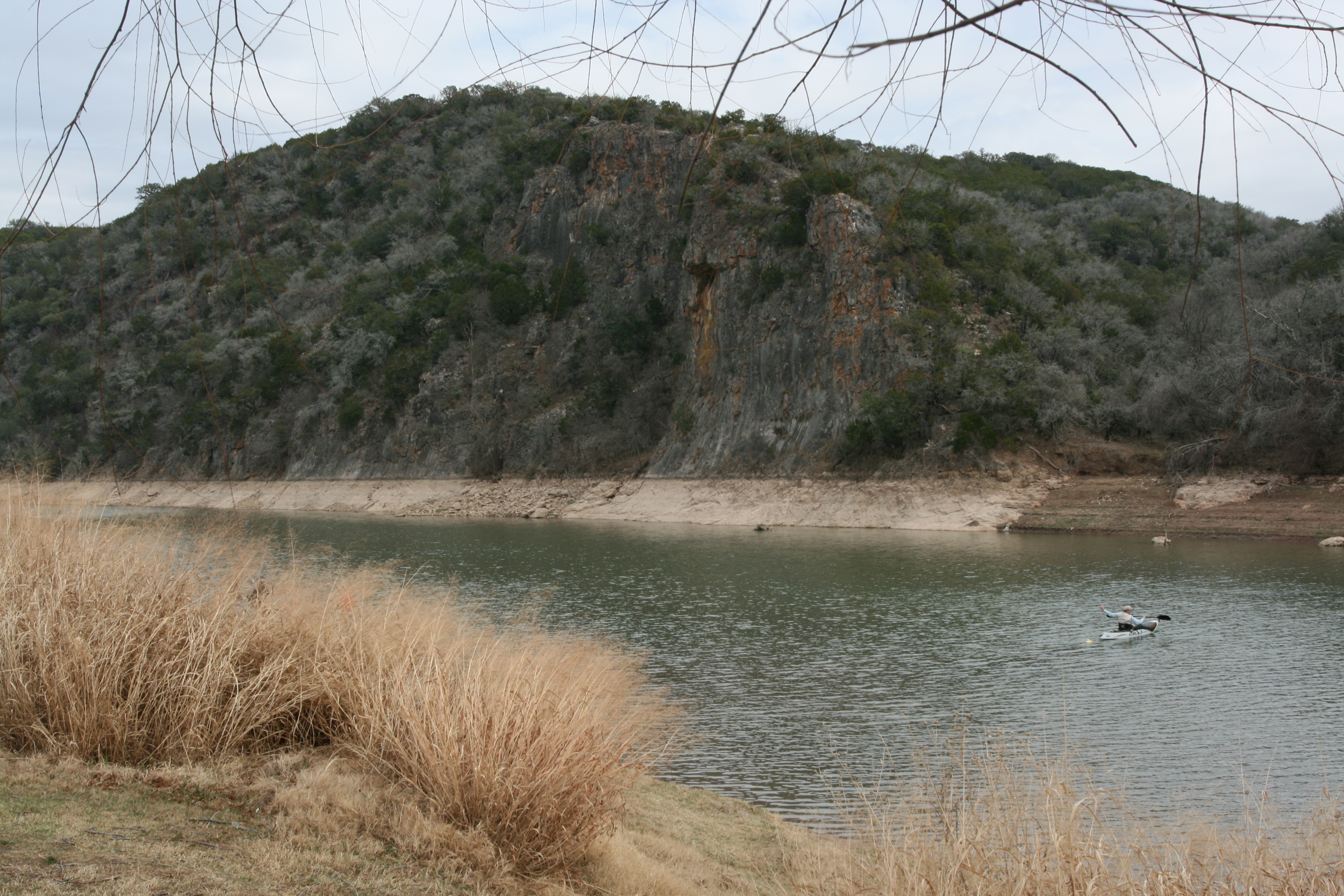
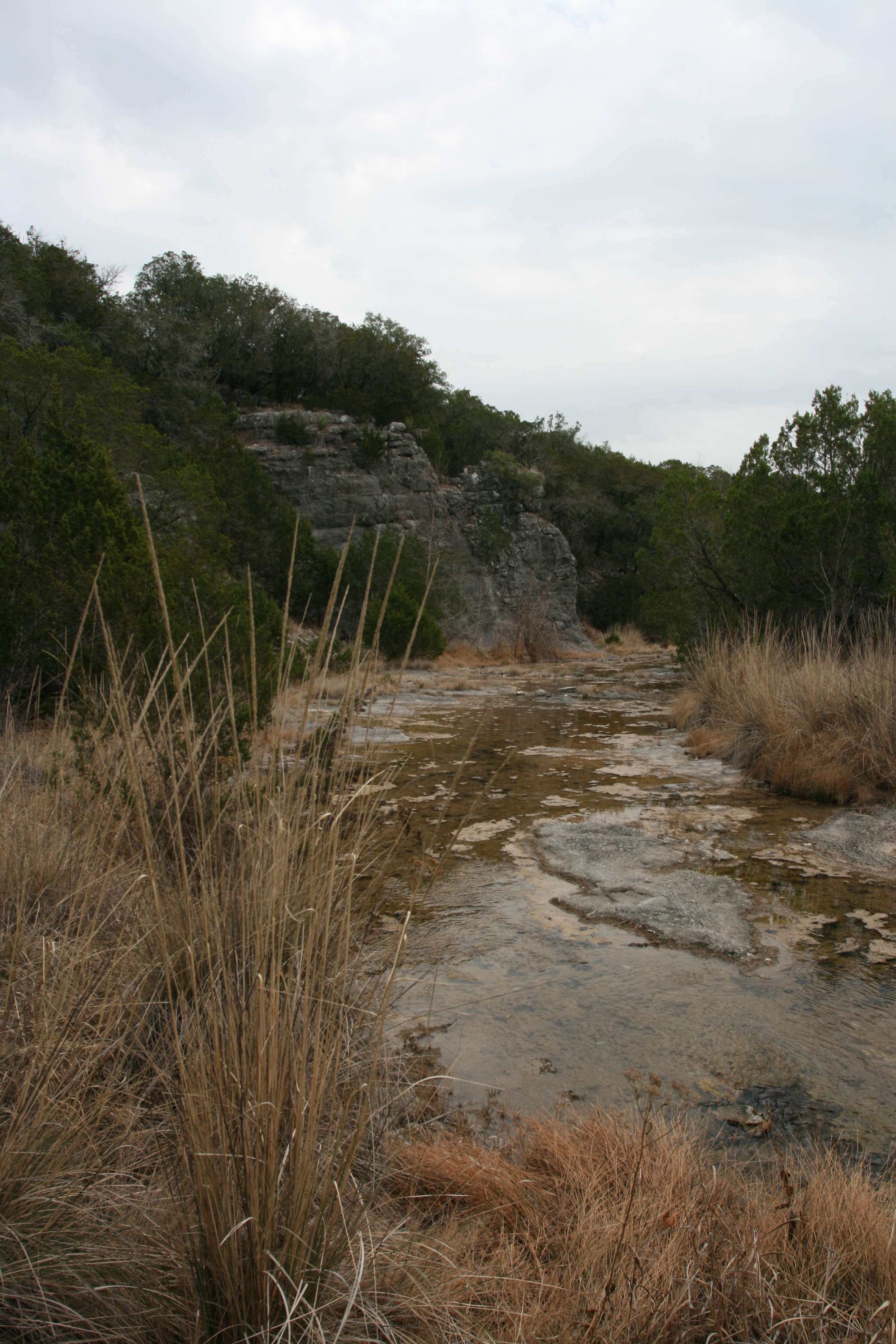
My first look at the river and the beautiful cliffs which rise sharply from the water.
Much of flood plane of the river within the park is used for camping. Earlier I had seen a sign stating: "All campsites occupied or reserved." This surprised me, but as one of the park employees mentioned, it was a three day weekend. He said they got a lot of people coming down from Dallas. So, it was all the gawking, pesky city slickers who were the reason for all the "Keep out" signs I seen on my way in. Consider this, it was cool, barely in the 50, completely overcast and there was a ban on all wood and charcoal fires. And still, all 38 of the sites were spoken for.
One can only image what it must be like on a sweltering day in Dallas after the hoards of people arrive to go camping, swimming, tubing, boating and hiking.
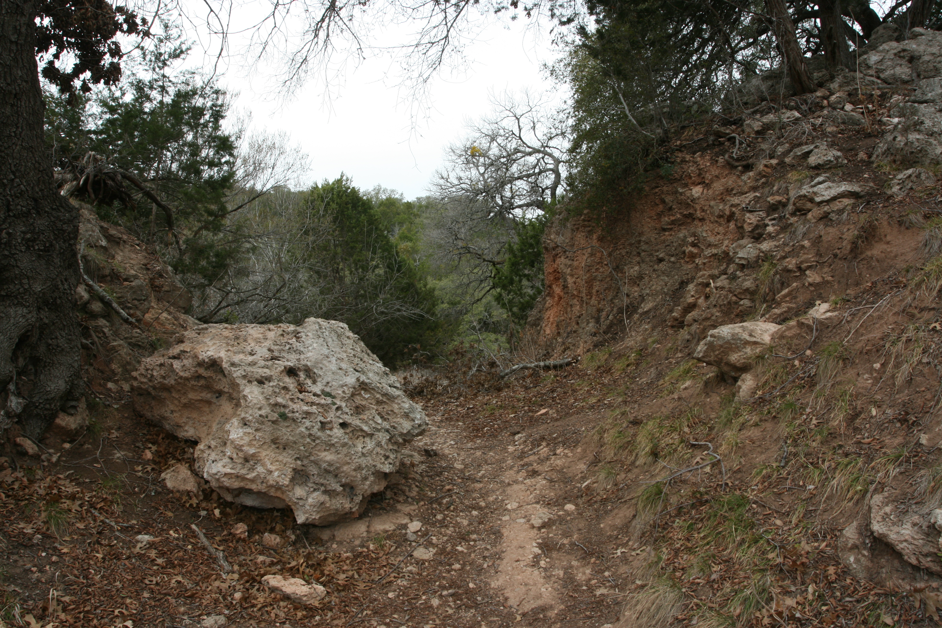
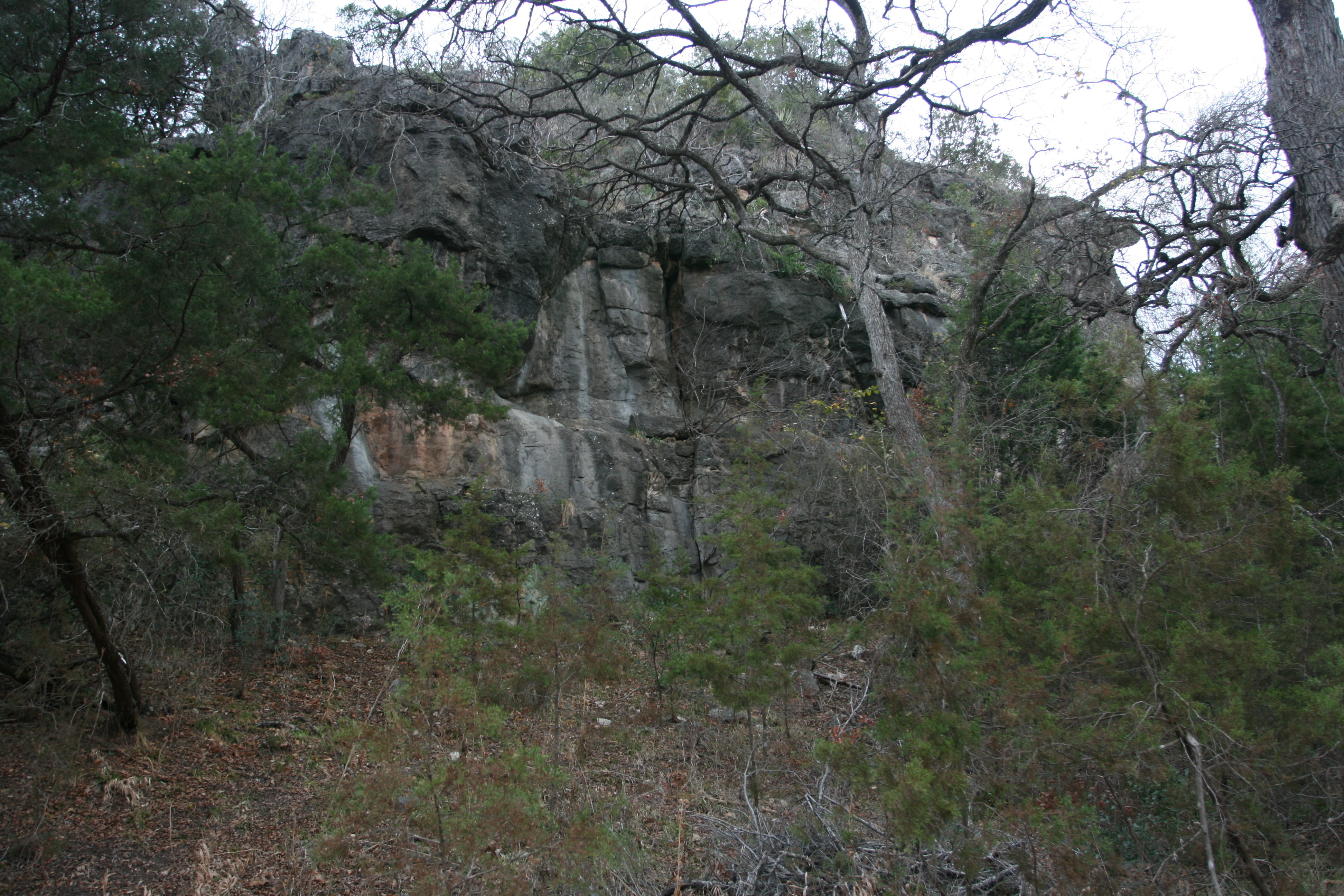
The trail starts out along the open flood plan and then cuts sharply to the right between these rock faces.
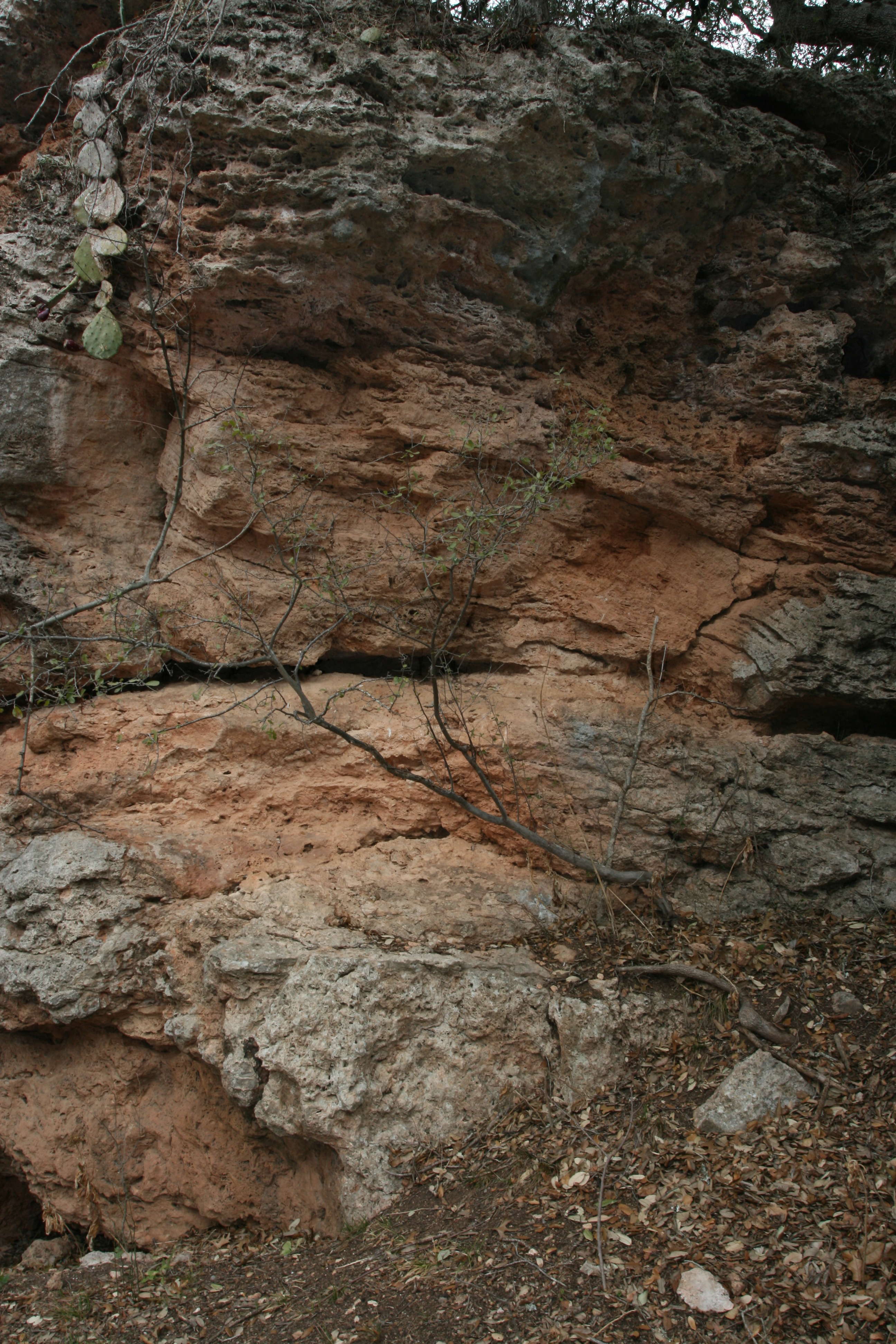
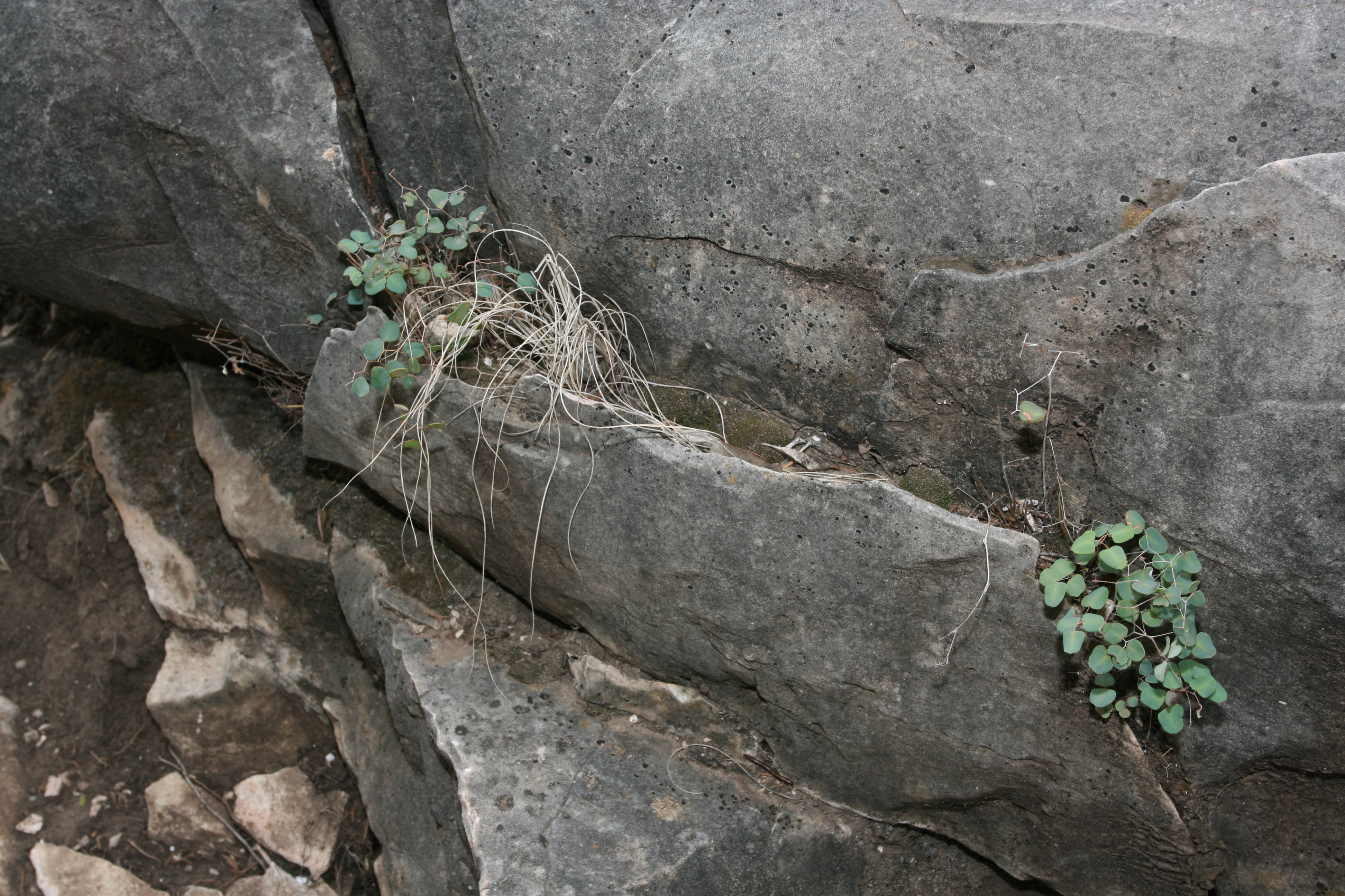
A closer look at the nicely weathered rock which I am assuming is lime stone. It is heavily pock marked here and the surface of some of the pieces lying about reminded me of the tufa monuments I had seen at Mono Lake in 2007.
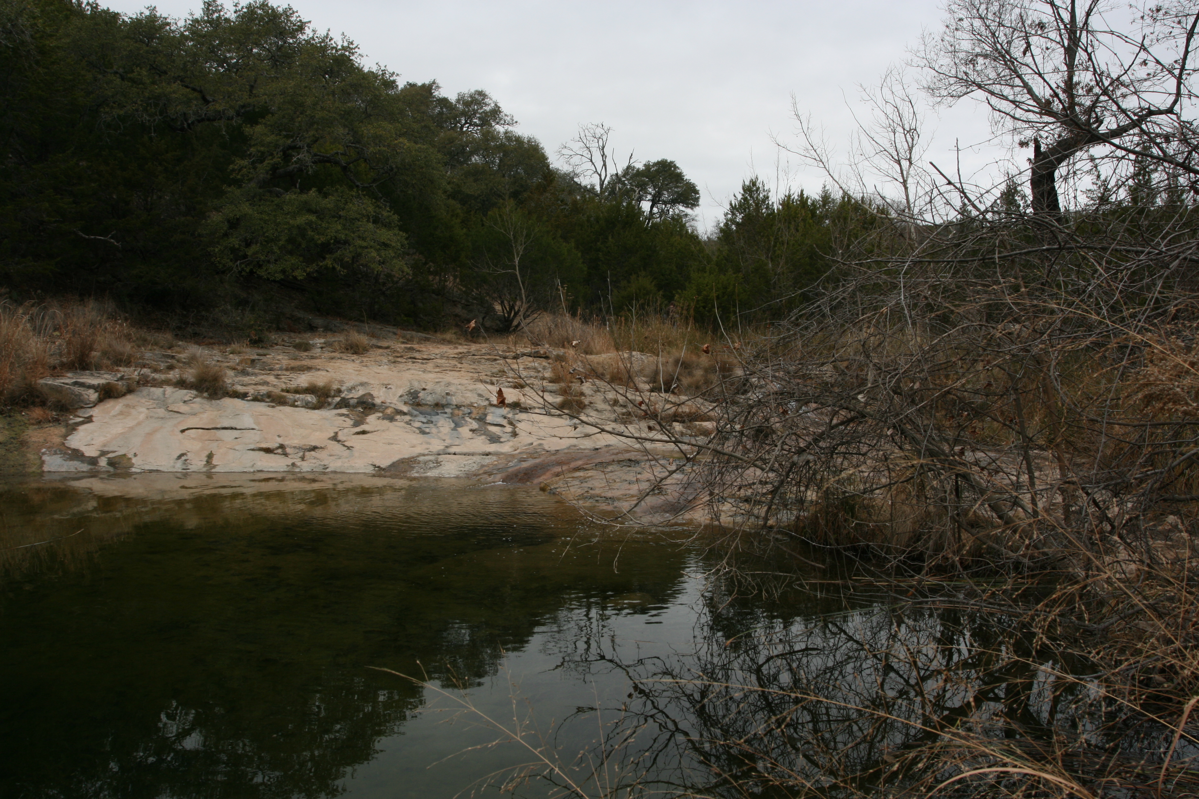
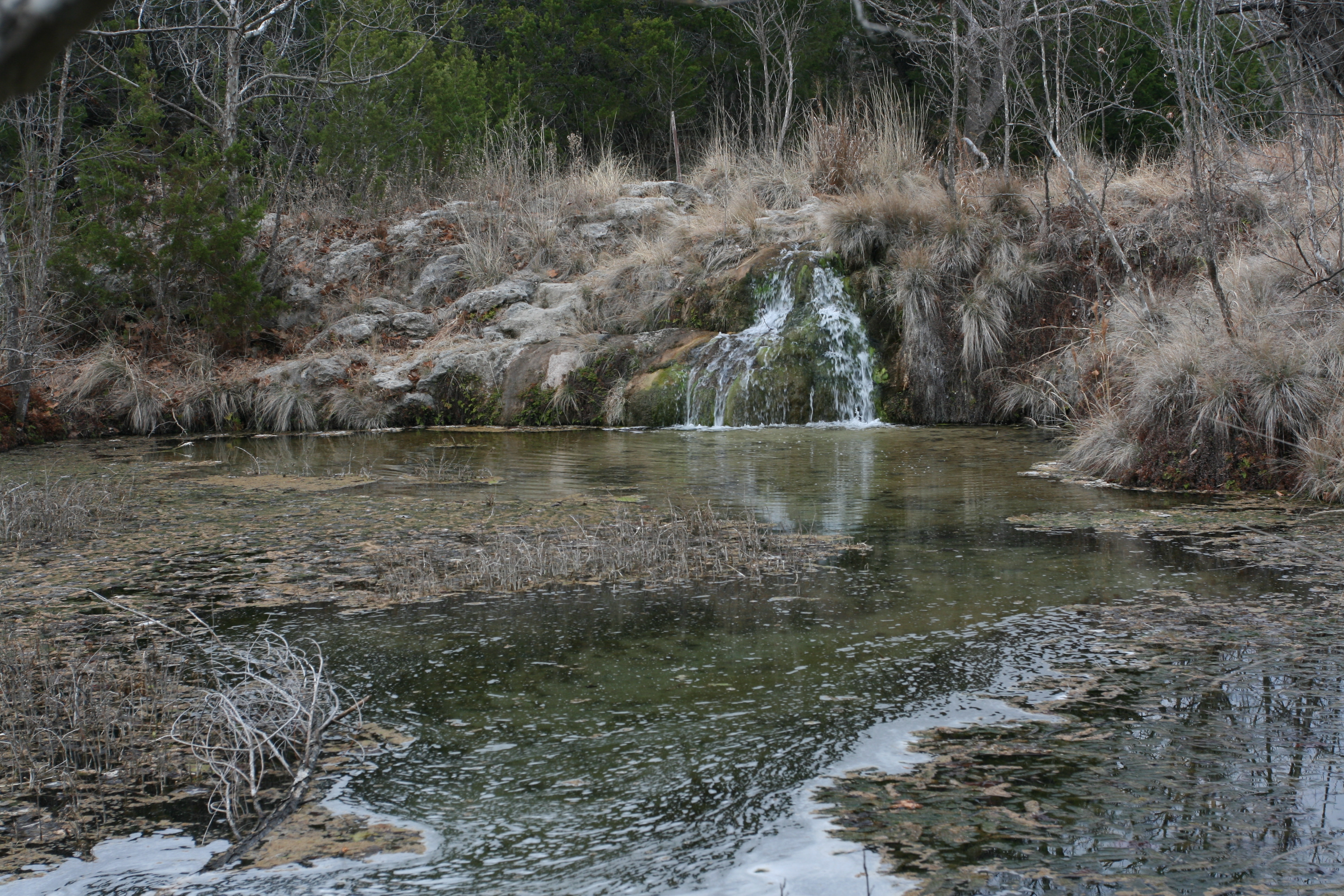
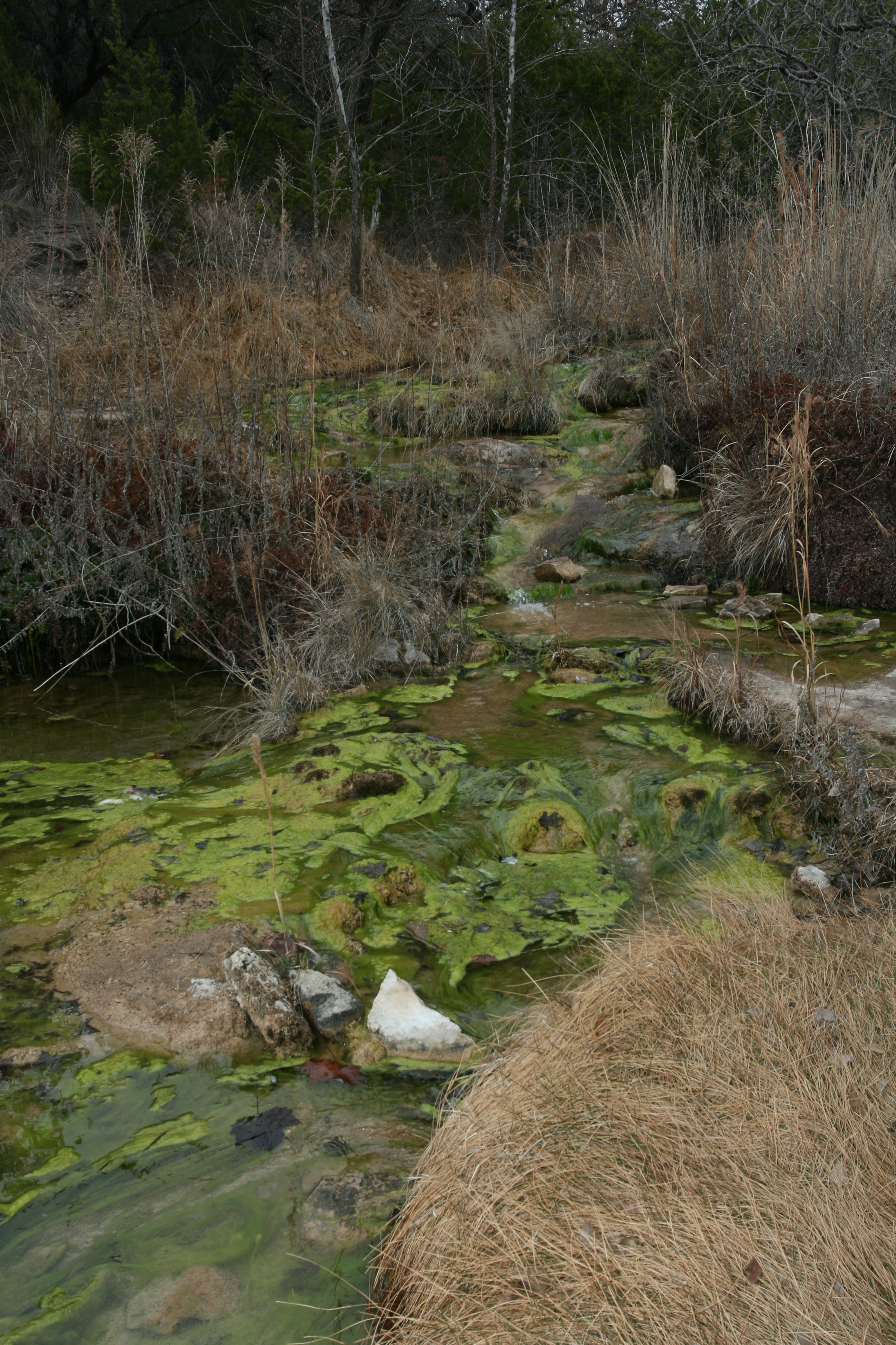
This is a look at the lower pool of Spicewood Springs. The folks at HQ said it was at low flow.
An attempt to show the "low flow", a trickle on right side of the photo.
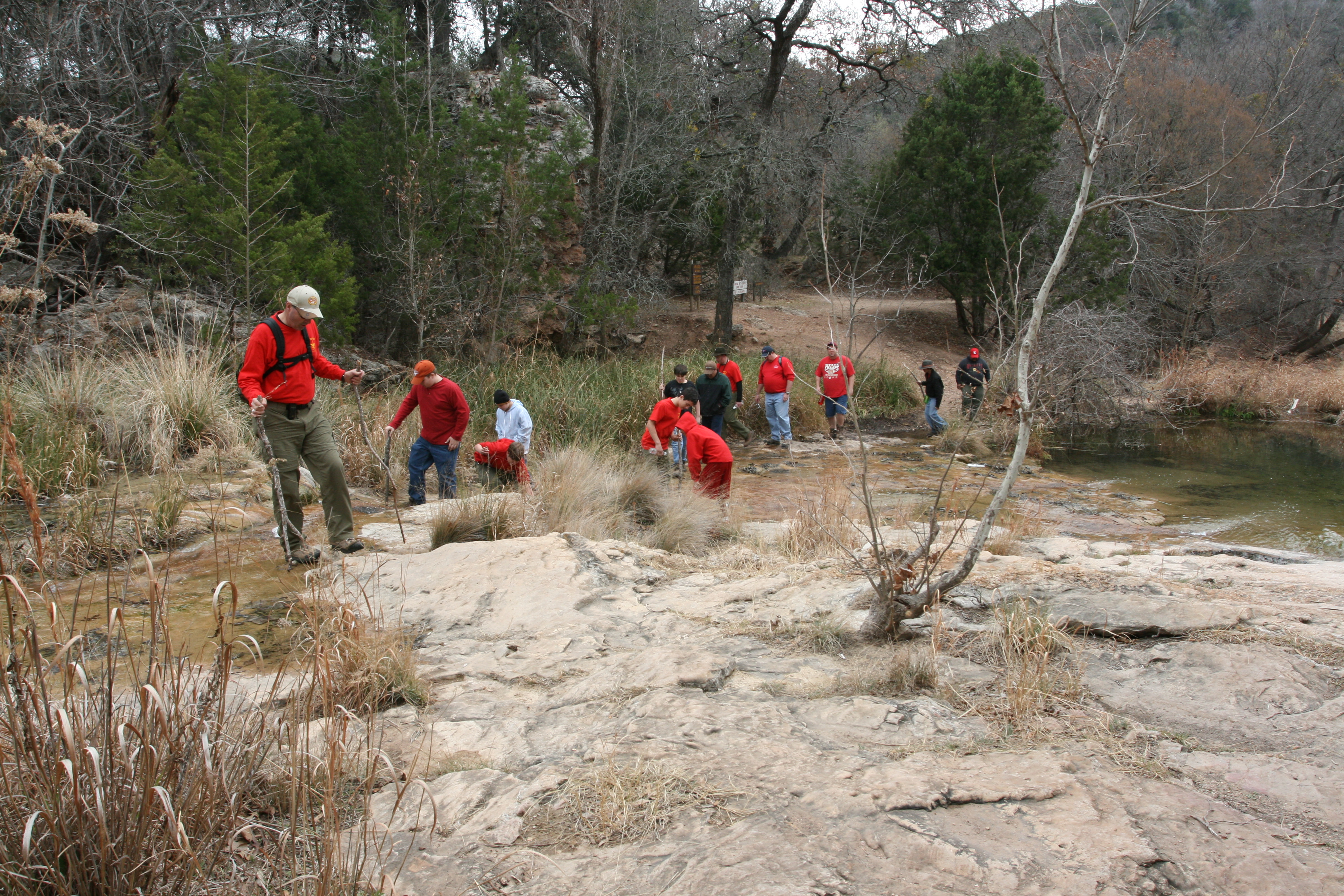
Boy Scout invasion! Fortunately these folks did no last long on this trail. At the very first stream crossing on of the kids fell in to the water.
This is Oval-leaved Cliff Brake Fern ( Pellea ovata). This is a very poor photo of a very poor specimen. Fronds can reach 2-3' feet in length. Maybe someday I will get back here during growing season.
Another small pool. Judging from the wear on the rocks from the thousands of feet I assume this must be a pretty popular spot for wading and cooling off in the summer.

But, today, the water looked rather funky and was quite shallow.
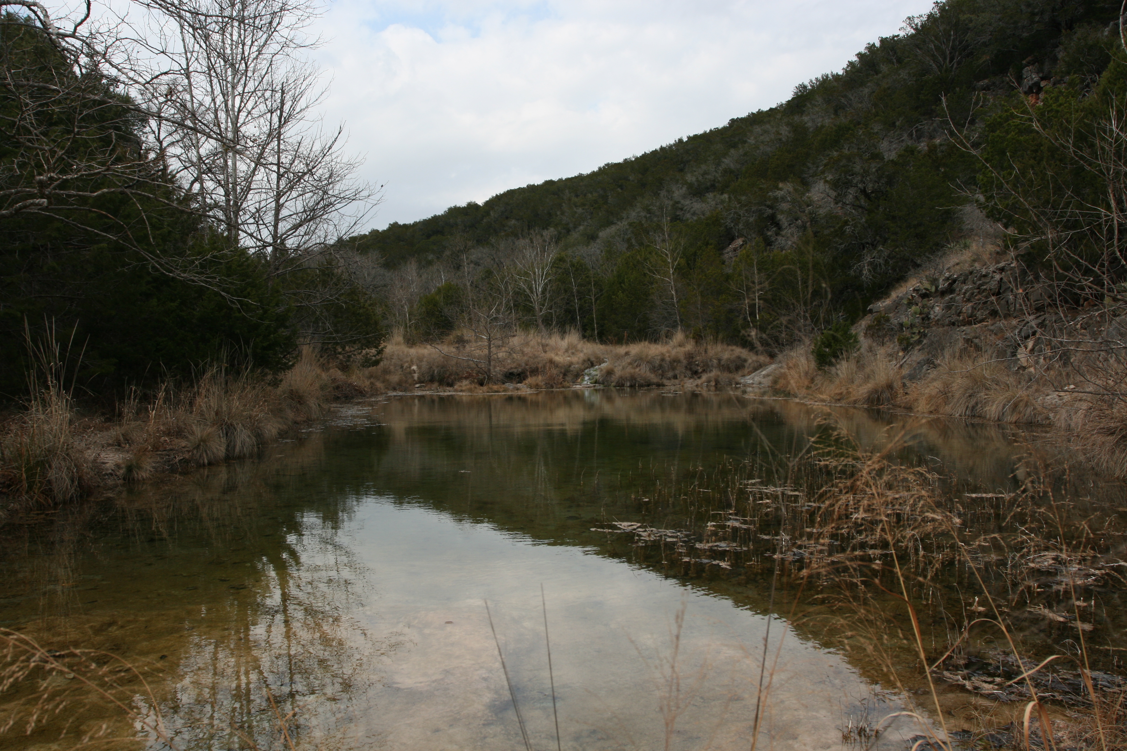
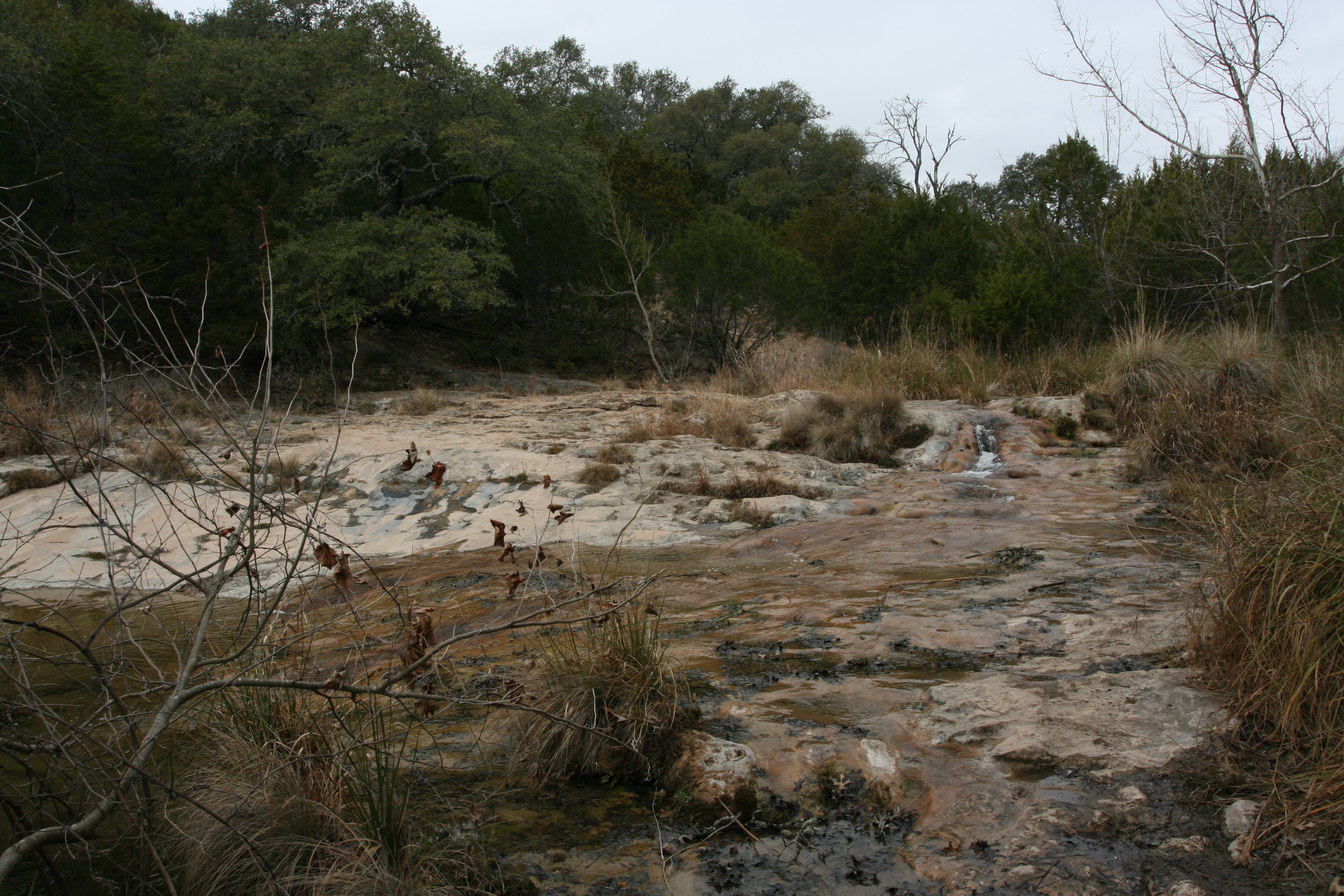
Looking up stream. Quite lovely and very quite now the Boy Scouts have beat a retreat.
The overcast skies gave me fits trying to get the correct exposure. Many of my photos ended up underexposed.
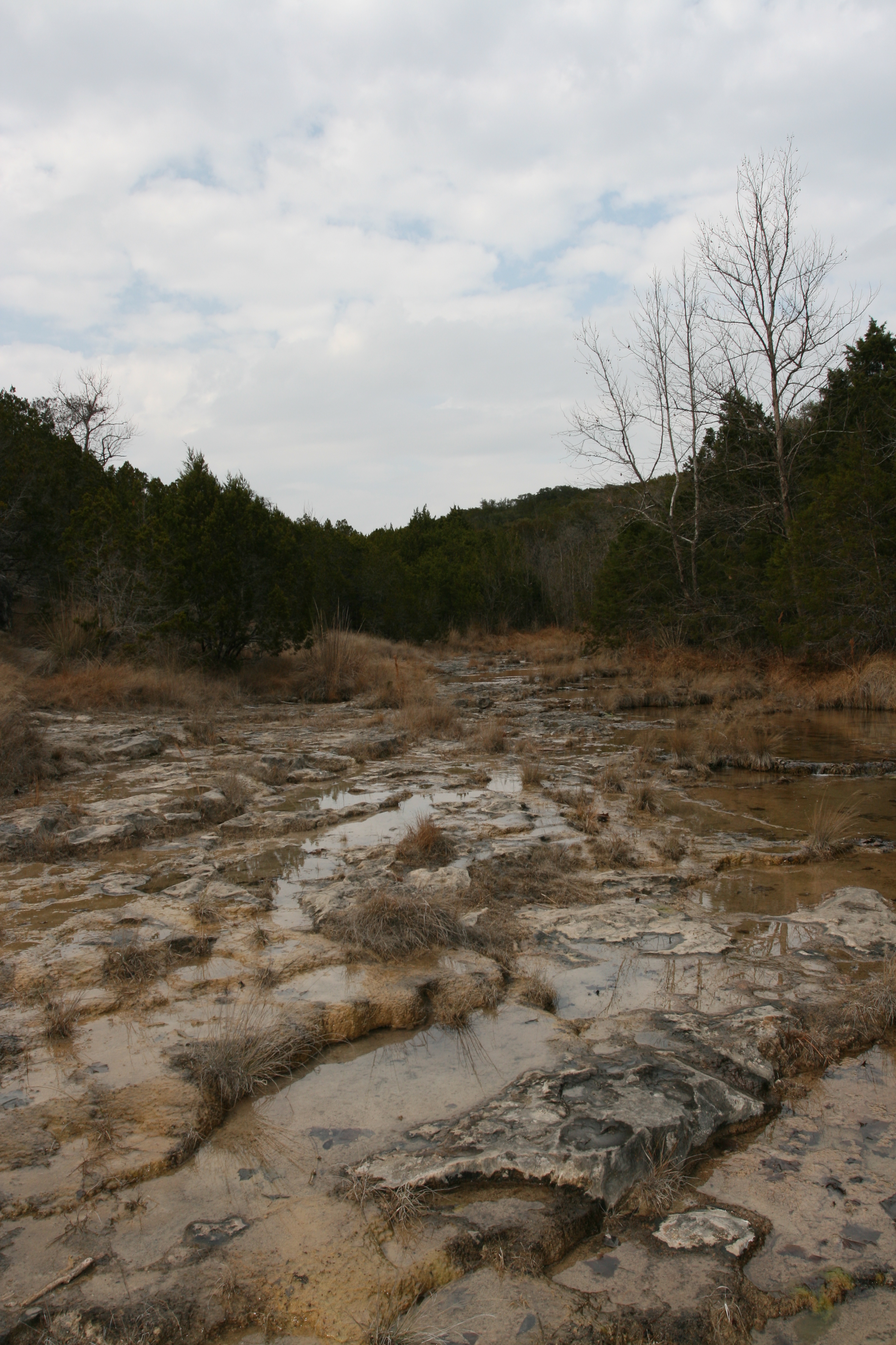
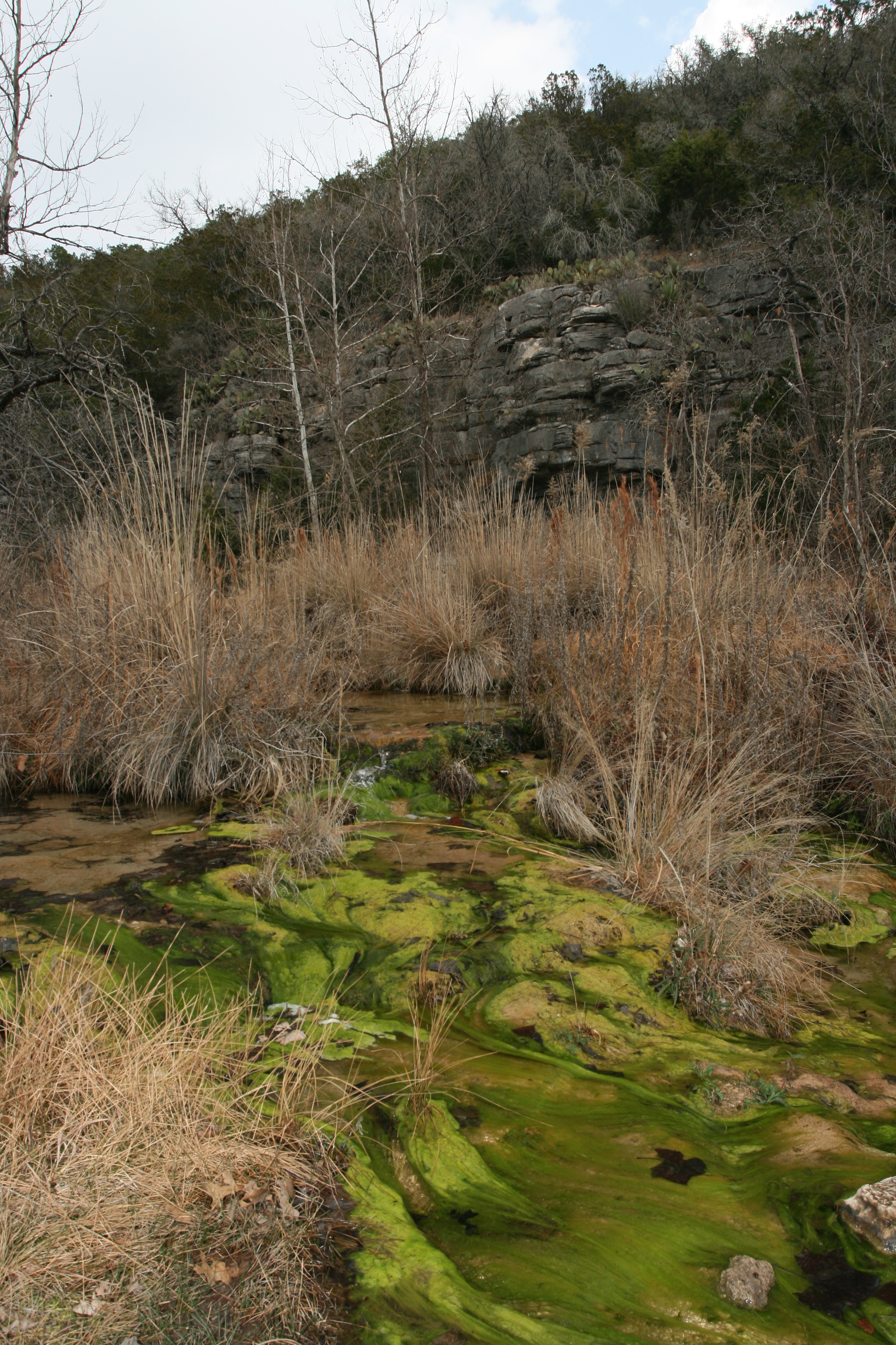
A look back down the stream bed which I assume was limestone pavement. The bluffs seen here were prominent on both sides of the stream.
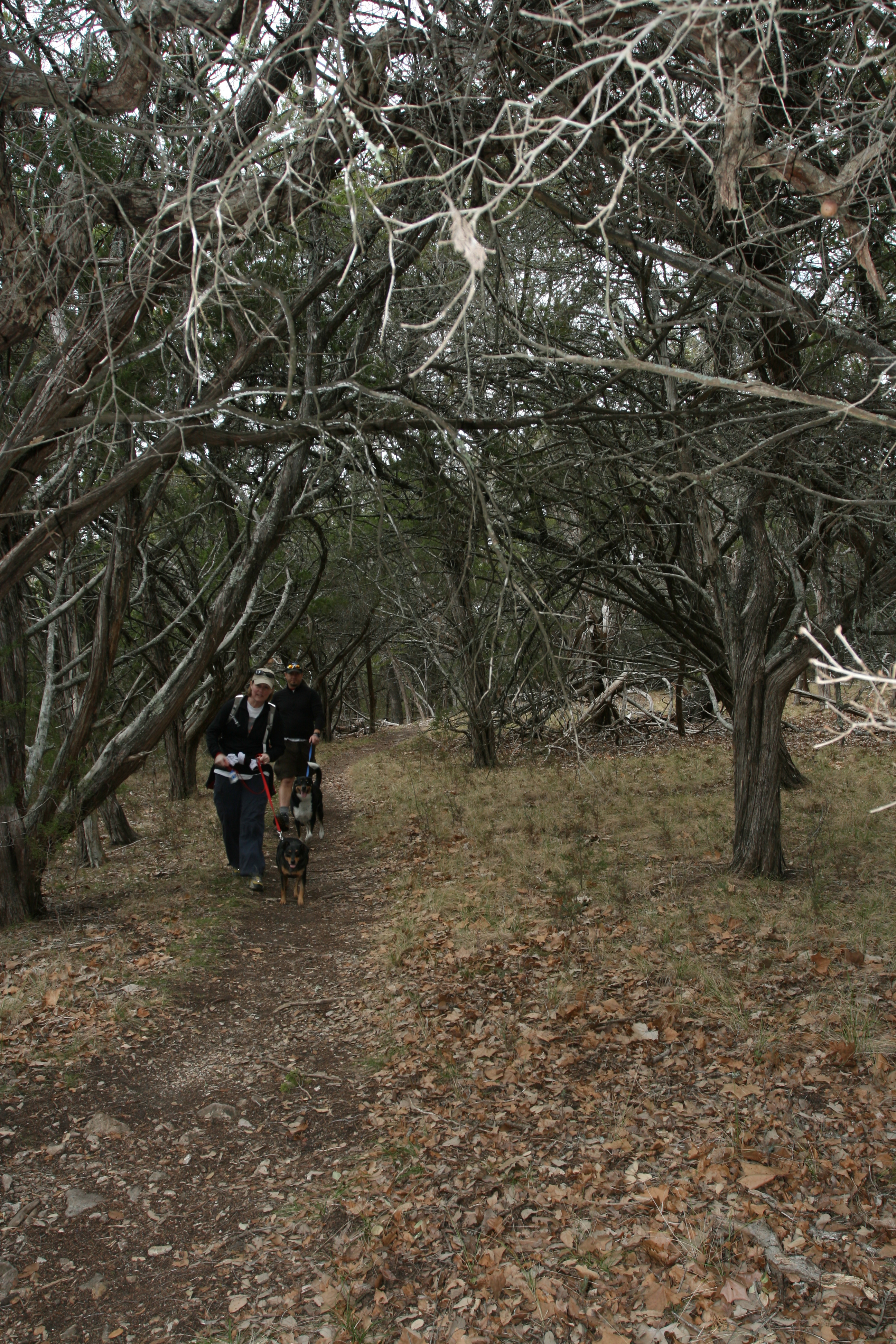
Eventually the trail left the stream channel and headed into the Juniper woods. I stopped and chatted with these two folks who were from Cedar Park which is just north of Austin and about 72 miles away. I saw only tow other people on the rest of the hike.
The trail then crossed the stream again, another of many crossings. I noticed this "moss" on the creek bed. It became more common the further upstream I walked.
Interesting color and shape. Can you tell me why it is here and not downstream?
The trail then left the stream completely and I hiked through mainly open Juniper woods until I got back to the river.
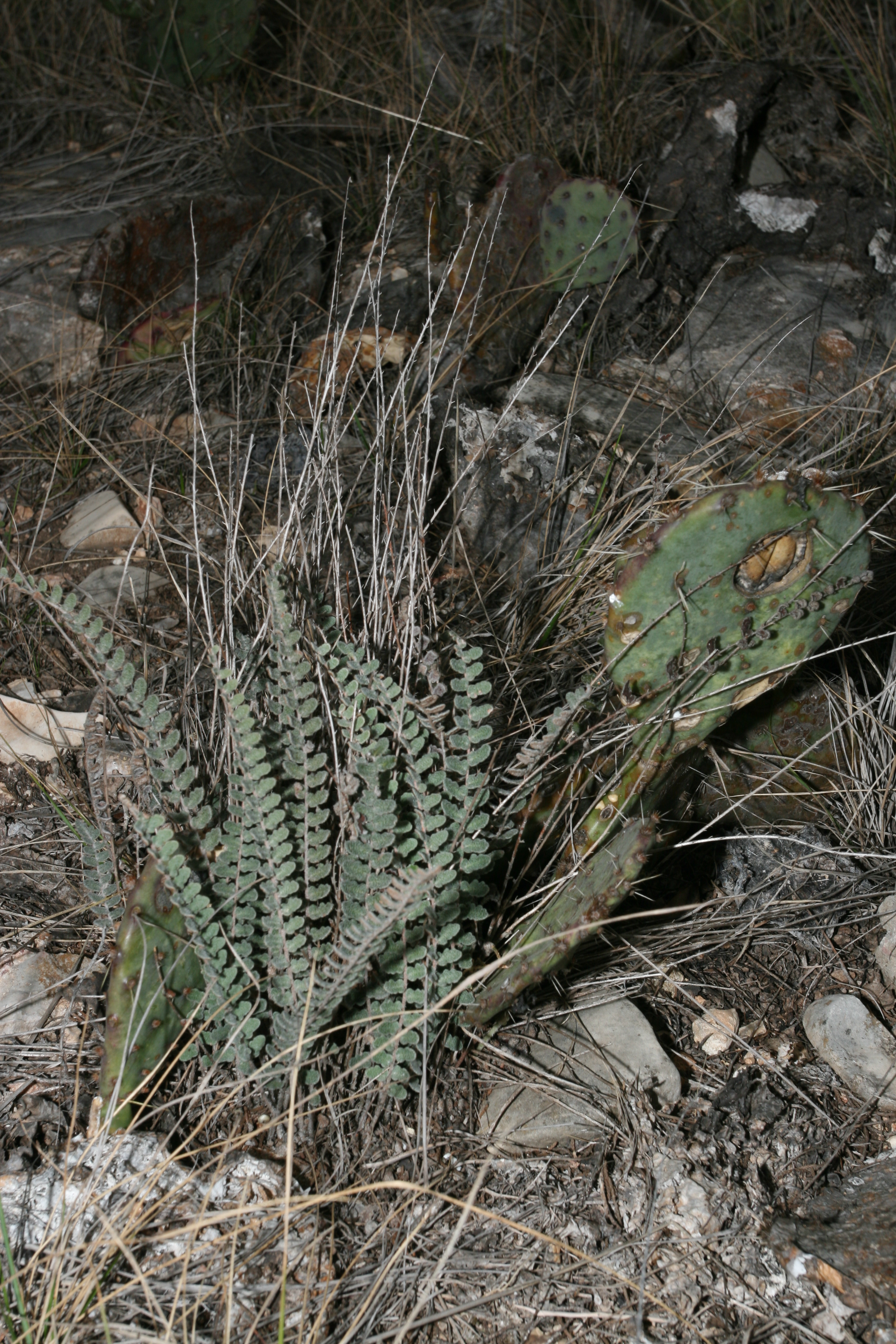
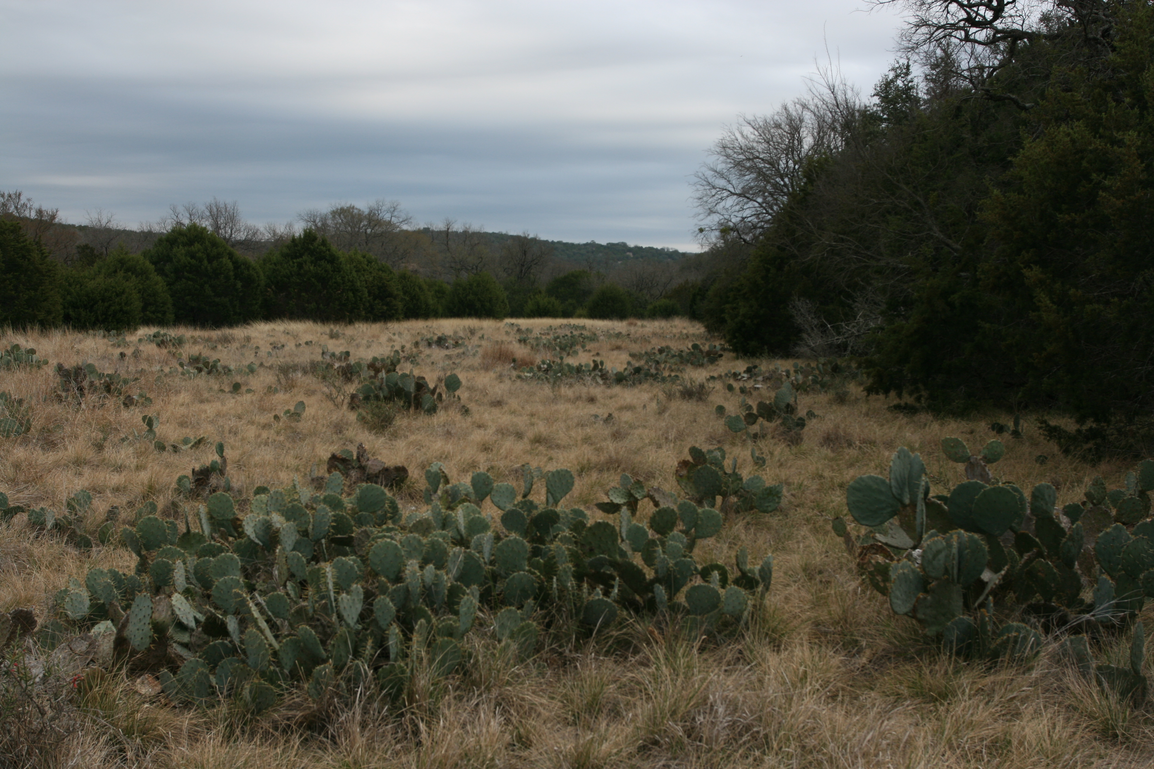
I loved seeing all the cactus. This place must be heaven when they are in bloom and the grass is greened up.
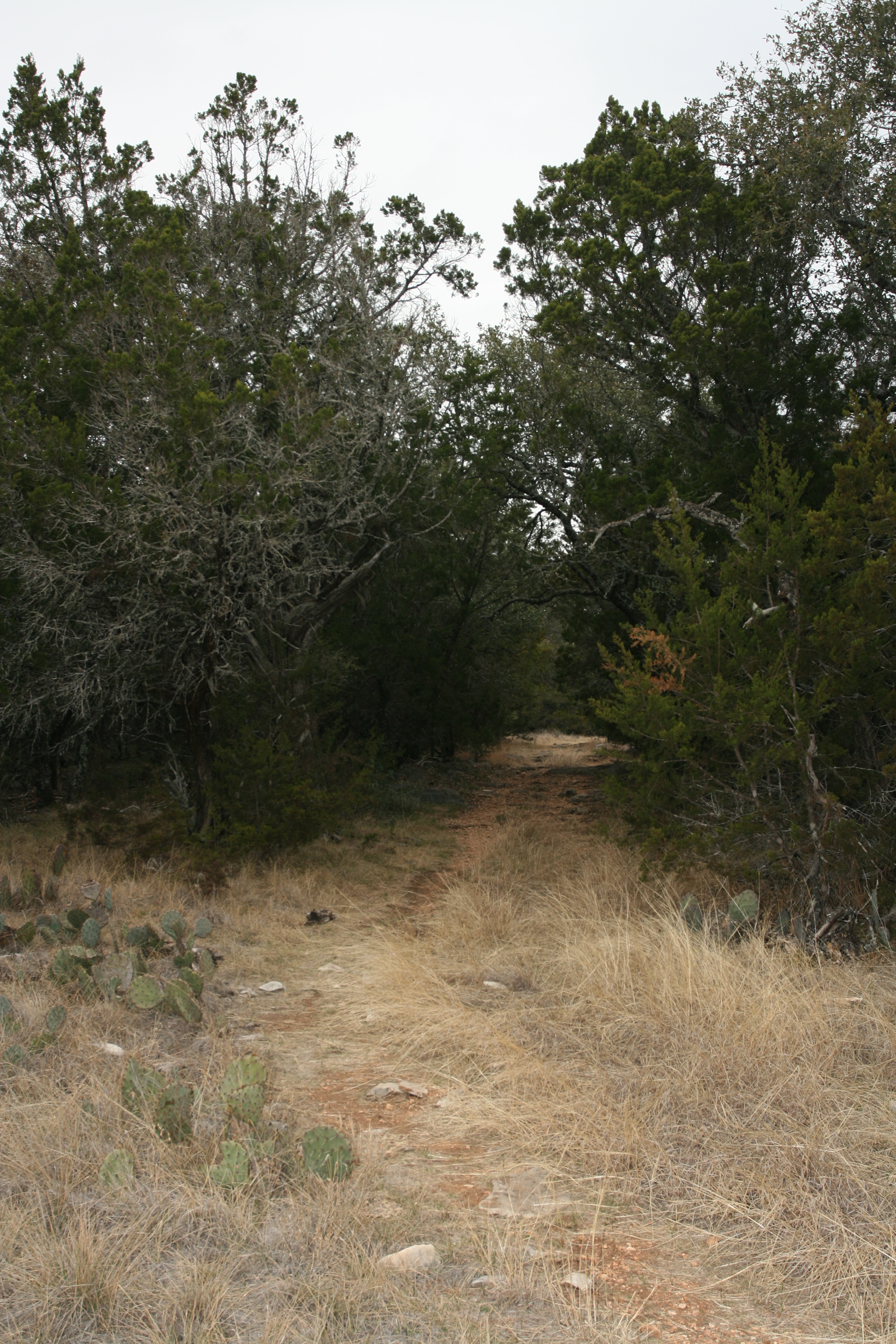
Occasionally the trail would enter a heavily canopied section of Juniper. I am sure this is welcome shade in warmer weather.
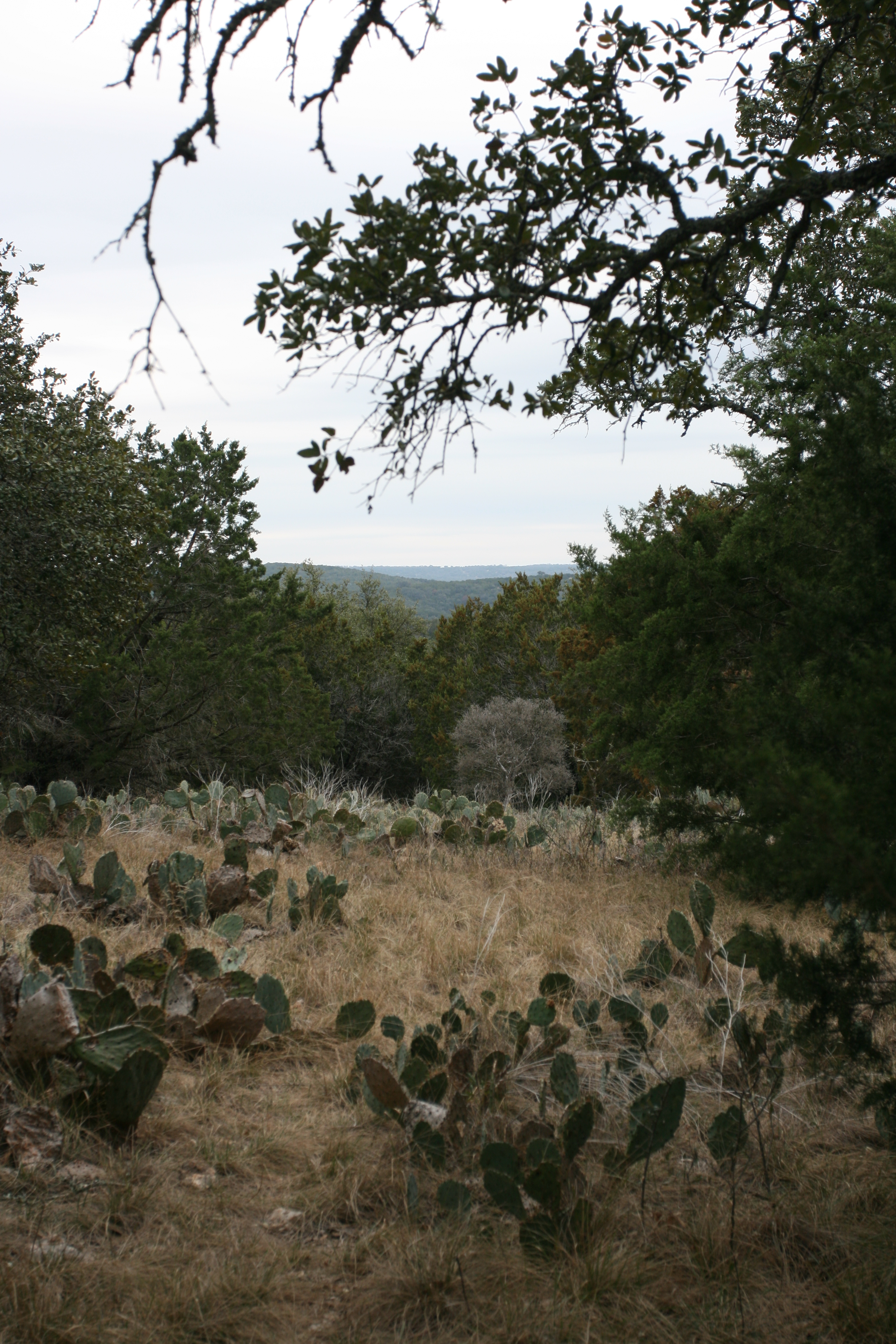
This view is off to the east towards the river. I think it is the Buzzard Mountain area.
The vast areas of Juniper never cease to amaze me. They seem endless.
I have no clue what this fern is. No field guides or web resource makes IDs tough!
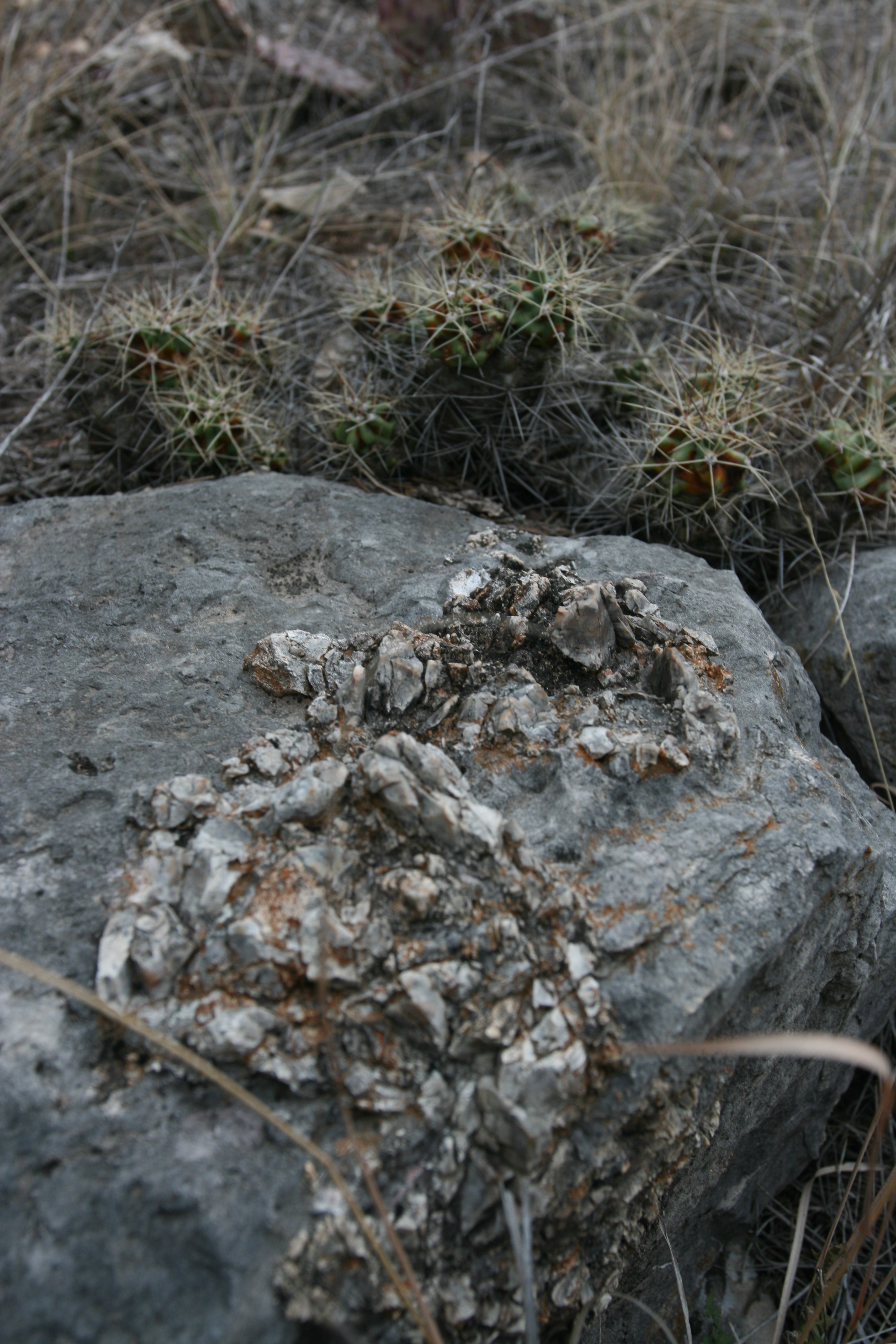
I was trying to show both this unusual rock and the cactus, but my depth of field was to shallow. How about one of you geologist tell me the story on the stuff intruding out of this rock?
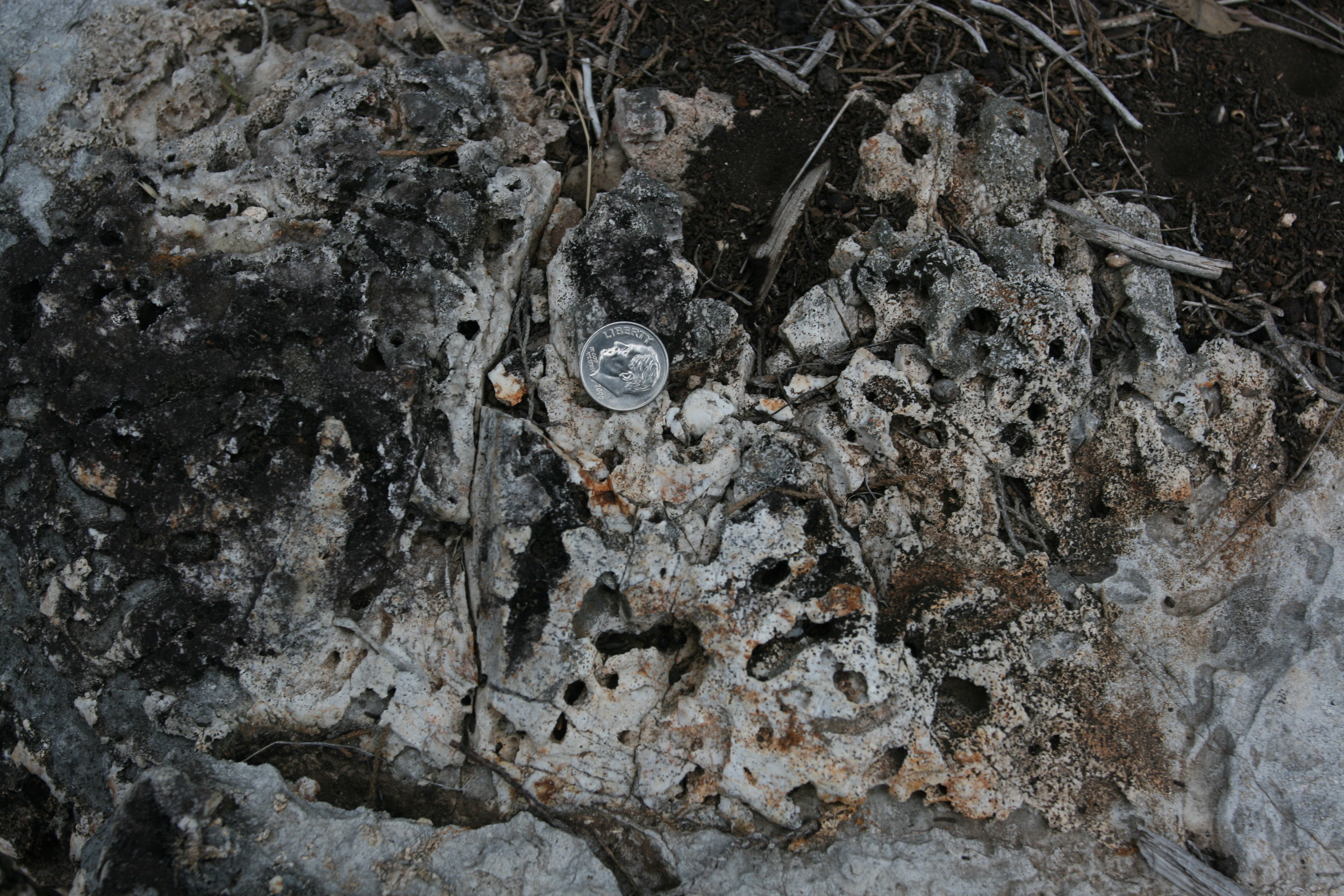
More strange looking rocks.
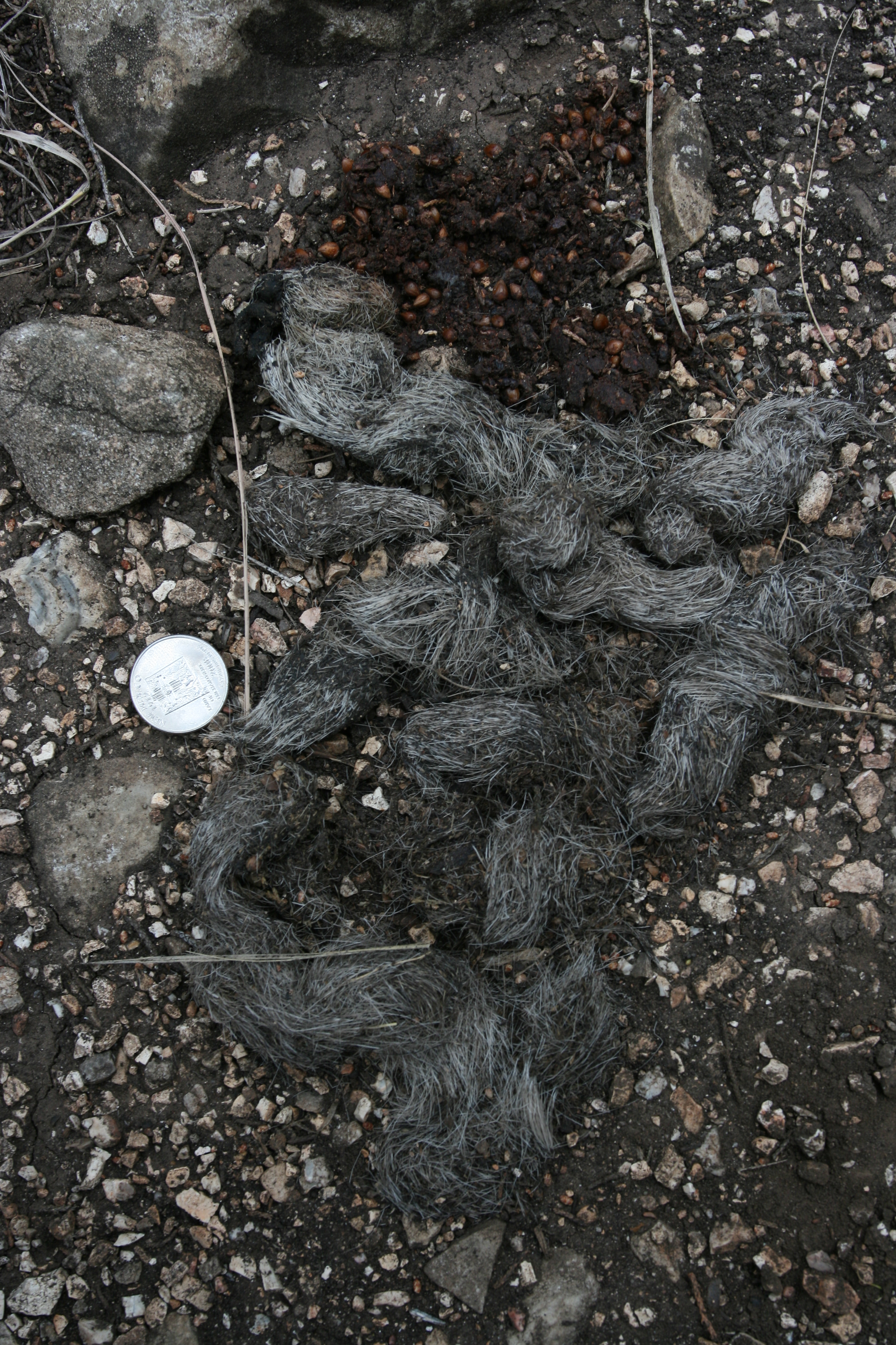
Puke or poop?
I took apart some of the furry stuff and it was completely solid hair. Something had to eat a lot of meat to expunge that much hair. I guess the seeds were from fruit this critter had for dessert.
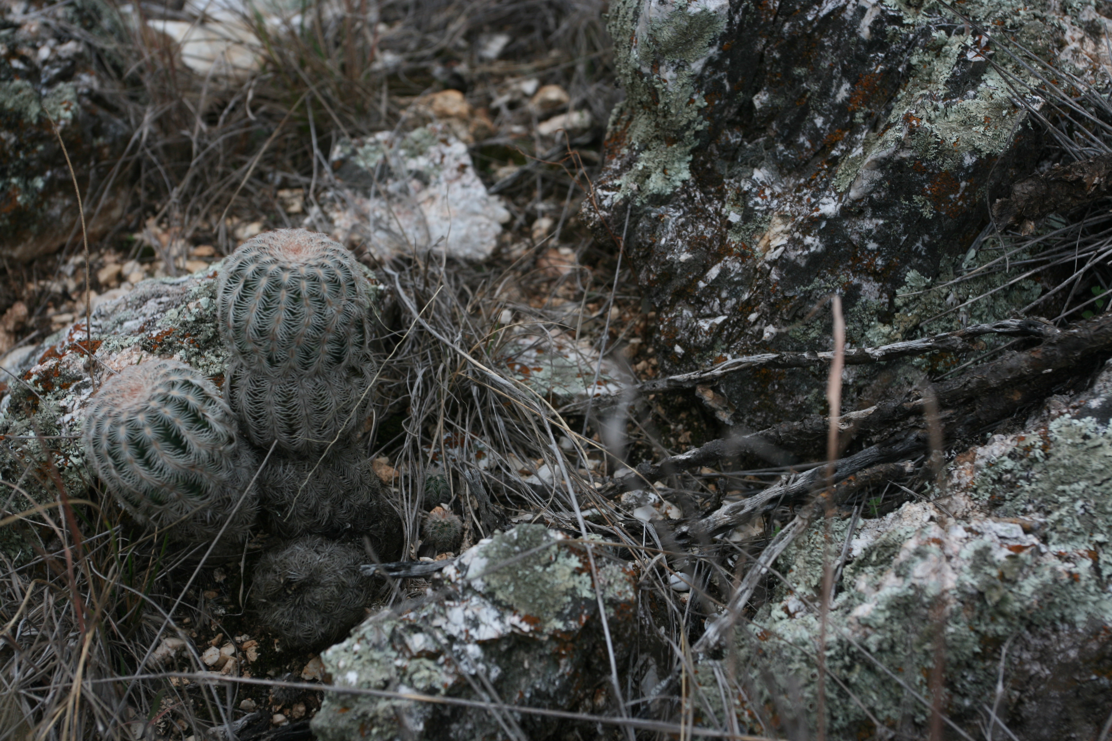
More interesting cactus and rocks.
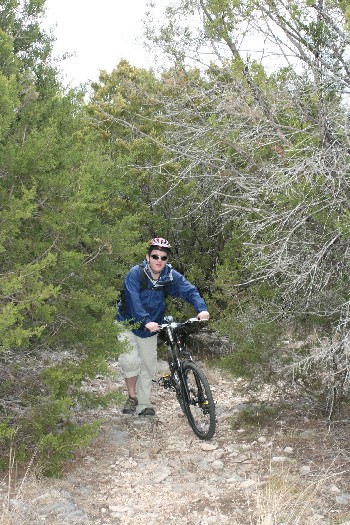
This idiot was trying to make his way up the trail on some expensive looking, and obviously brand new bike. The trail was nothing but loose rocks at that point and he was not having much luck. Why can't people leave their machinery at home when the come to the woods?
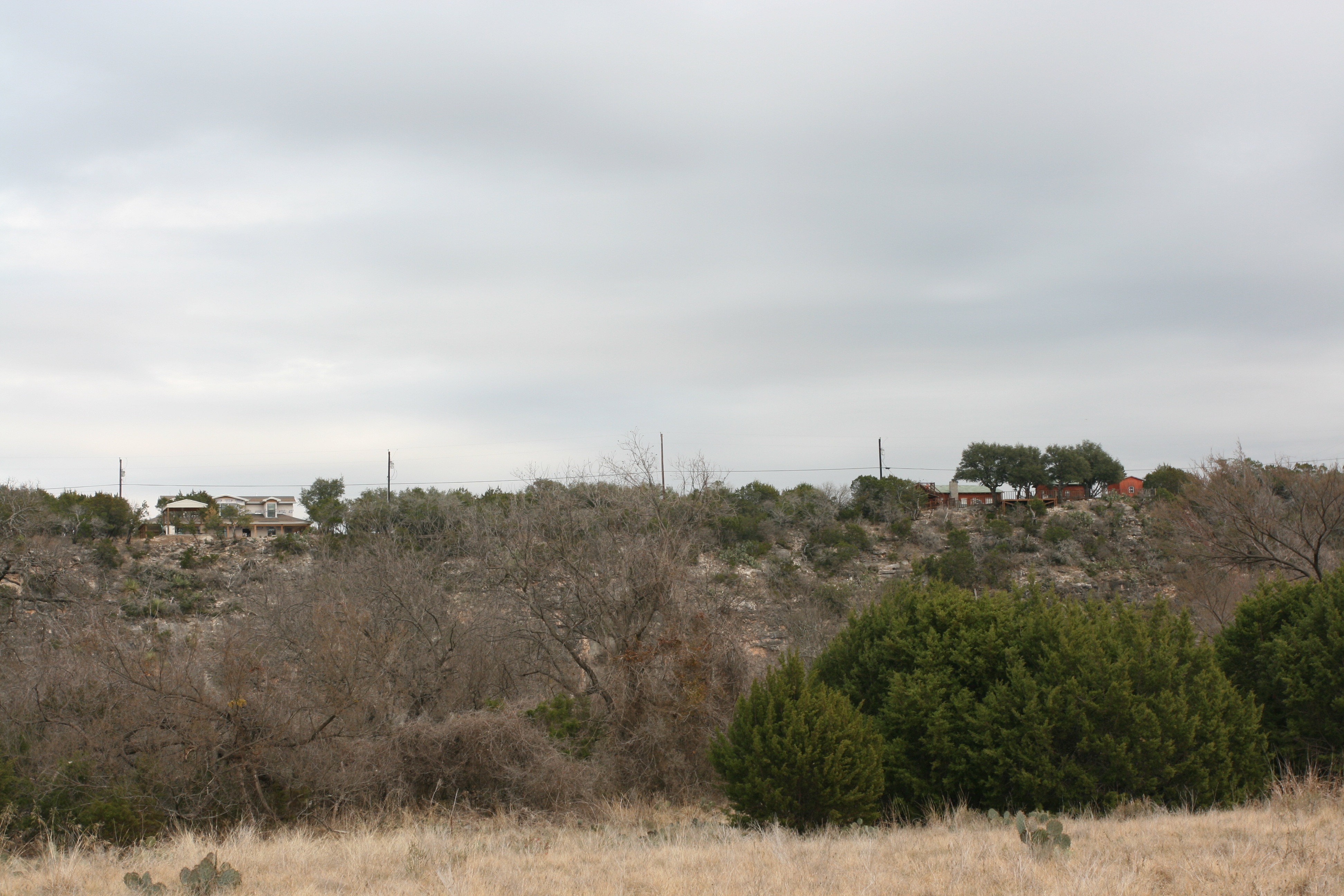
At at about 4 miles I was back down to the river. These homes, from which the lovely sounds of barking dogs and blaring music came forth were on the bluffs opposite the park.
Way cool. This is some of the scenery I think about on those cold and dismal days in November.
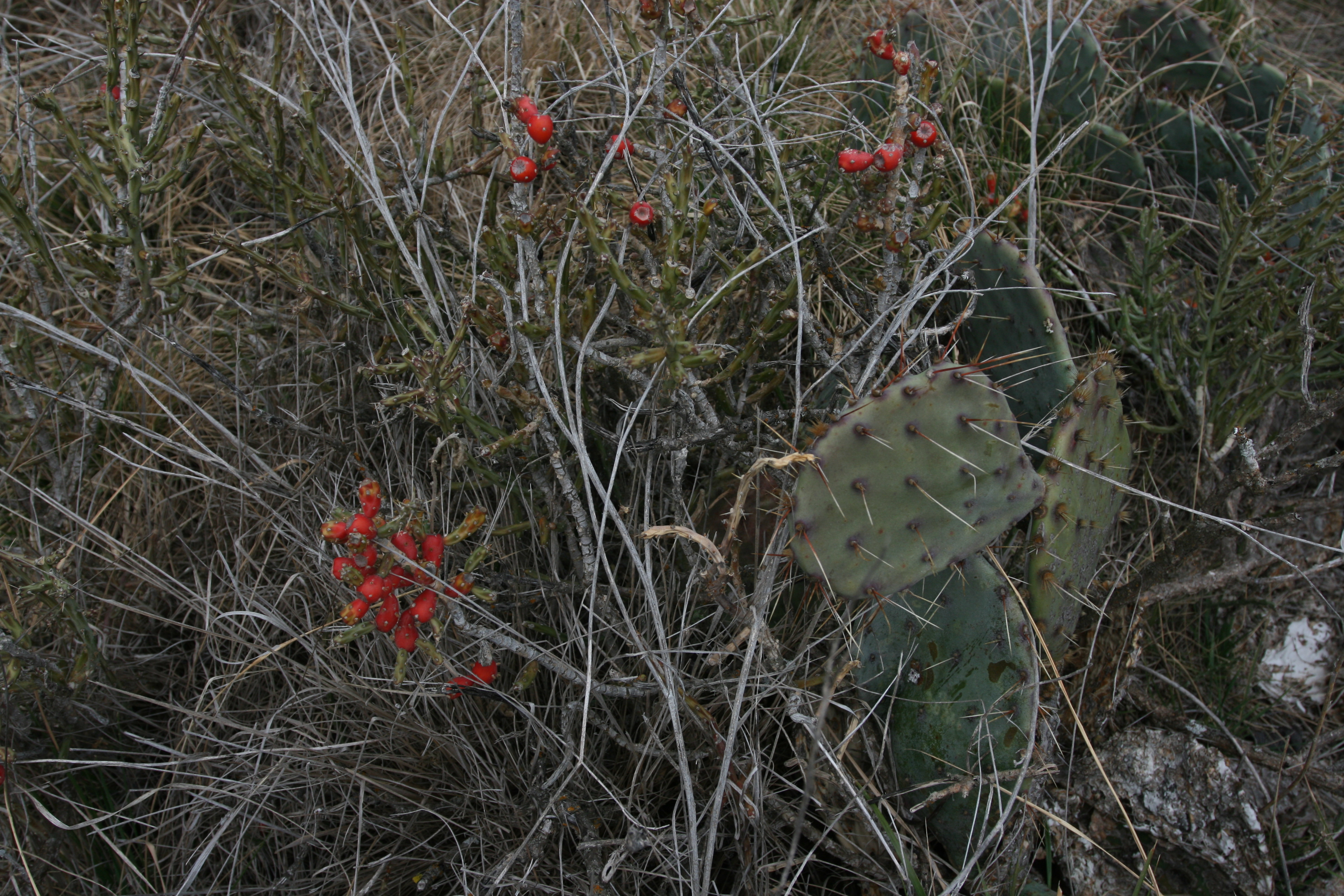
This shows the red fruits of the Pencil Cholla. Perhaps this was the seed source for the poop/puke shot shown above?
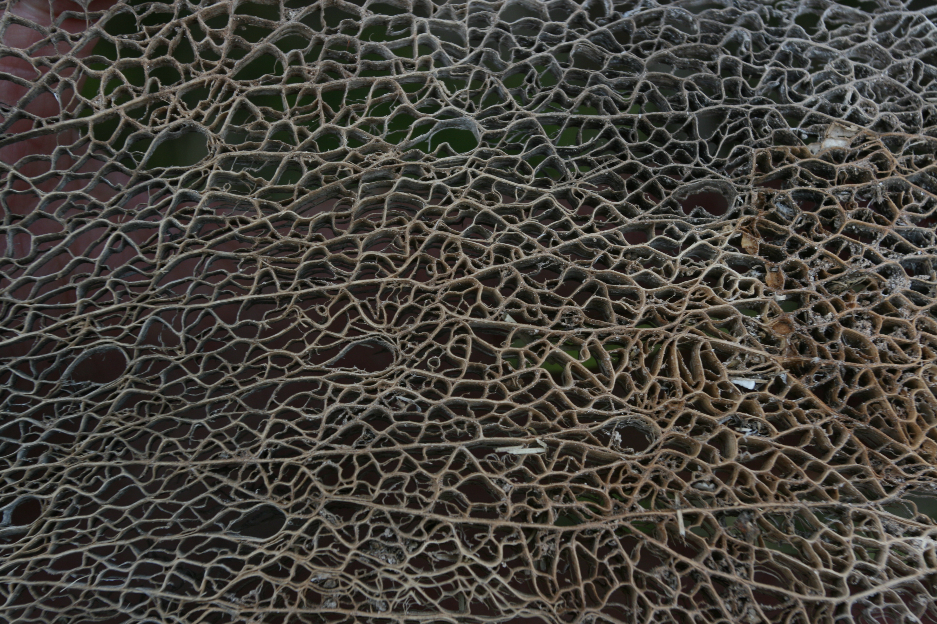
This is a skeletonized Beaver-tail cactus pad. Fascinating patters. I wonder what part of the pad the 10 or so larger voids are from?
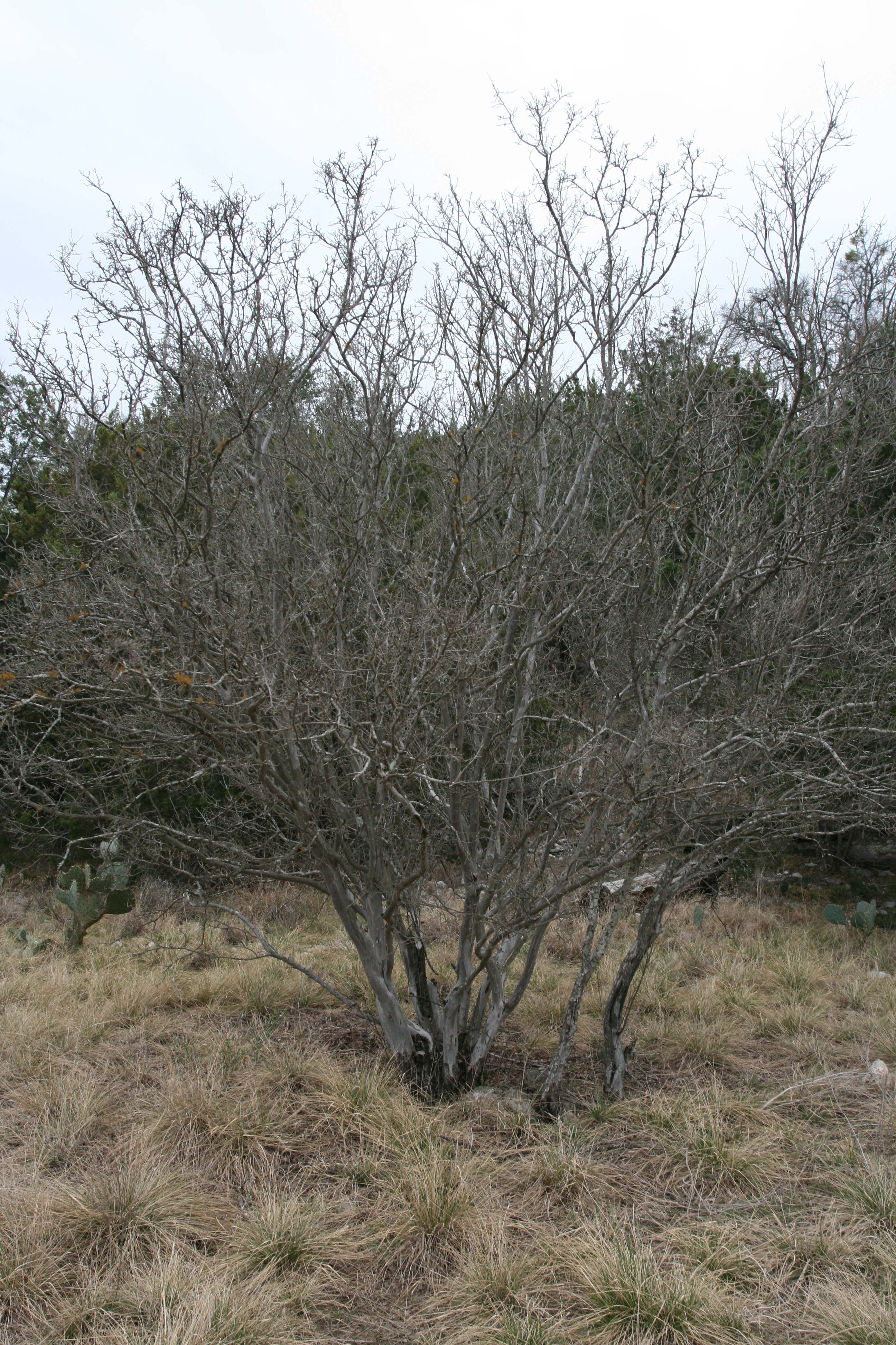
This is a Texas Persimmon (Diospyros texana).

The bark is quite distinctive and reminds me of Crepe Myrtle
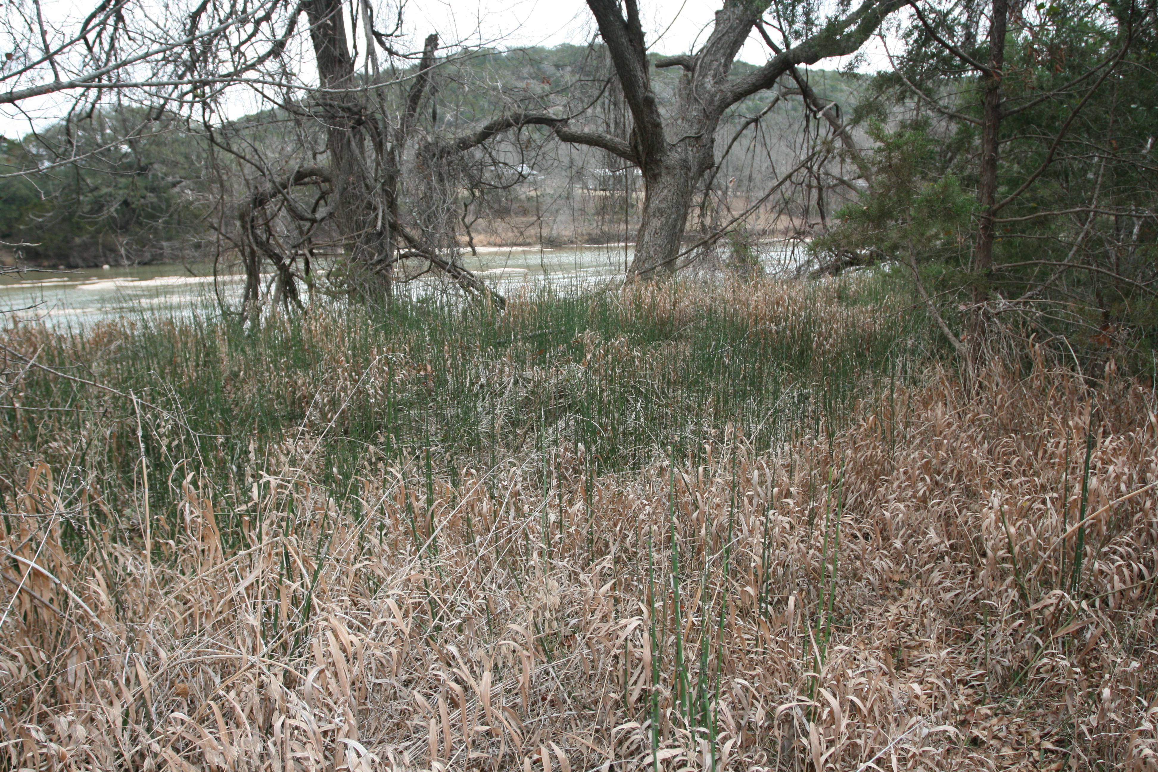
There were large colonies of Scouring Rush along the flood plane.
The bluffs along the west side of the flood plane were quite impressive, but were nothing compared to the sheep cliffs opposite.
In spite of my initial disappointment at the park being so busy, I experience what I usually do: once I leave the main areas where toilets are readily available I seldom see only a few people if any once I hit the trails.
I look forwards to a return someday to this interesting part of Texas.
Day 22: - FINIS