Mike Breiding's Epic Road Trips: October ~2019~
Our Arrival In Tucson
Morgantown to Tucson
YIPPEE! Back in the Sonoran Desert
Greetings everyone! Today is Sunday October the 13th and marks the end of our first full week of our 9th winter in Arizona. Below is a recap of the week.
Friday-Saturday, October the 4th-5th 2019
Our last evening in Morgantown was a jolly one.
To celebrate the sale of our house in Wheeling and the shedding of all related responsibilities, our neighbor Marion on Huntington Ave brought us over a bottle of prosecco which we had save for the right time.
The time was now and we invited Marion to share the bubbly with us our last evening in Morgantown before heading out to Tucson for the winter.
We also invited neighbor Kris who kick started our 18 Huntington adventure by getting word to us (via his mom, Sandra) the place was on the market. That was back in April.
Jolly is the right word for the memorable evening - we had the bottle of prosecco Marion had gifted us previously and she brought another one with her when she came over after work and then when Kris showed up he was toting one as well.
Now there are three!
But since I had only a taste of the prosecco just two bottles were emptied.
Around 9:00 there were farewells of "we'll miss you" and "see you next spring" then Betsy and I hit the sack. Tomorrow would be an early start at 3:15 a.m. in order to get ourselves ready to head to the Pittsburgh airport.
Initially we had planned to take an Uber to the airport. However when we mentioned to our neighbors Dennis and Sue it was going to cost 169 bucks Dennis said he would be glad to take us.
We resisted, saying it was too much of an imposition especially with the 4:30 a.m. departure time needed to get there for our 7:30 a.m. flight. But Dennis insisted it was not big deal and so we gratefully accepted his offer.
THANKS, Dennis!!!
The flight was on time and we arrived at Dallas/Fort Worth a bit ahead of schedule.
We found a quiet spot at the gate and settled in for the hour + wait until our next flight departed.
But the quiet did not last. First a Doggy Daddy showed up with his barking buddy and sat near us, then two people with a very loud and obnoxious kid sat right near us. As the kid screamed and yelled and banged against the window his parents sat oblivious and did nothing. We moved.
After a bit I felt the call of nature and on my way back I noticed a restroom I had previously missed.

This was further evidence to me we are turning into a nation of dog worshipers. I am so tired of doggie moms and dads forcing their fur babies on us I am about ready to do something I might regret. Our flight to Tucson was announced for boarding and thankfully we saw neither of the noisy animals again.
We arrived at the Tucson airport without delays, picked up our luggage and then went curbside to phone our friend and neighbor Bob we were ready for pick up.
In short order Bob had us at our Candominium in Tucson Estates where we started the job of checking the place over, unpacking and making sure everything started up without any problems. By the time 1:30 rolled around we knew something was amiss. It was Happy Hour and we had no beer! Eeeeeeeeeeeeeek!
In a flash Betsy jumped in the car and in no time was at Dollar General getting beer and munchies.
We knew it was only 1:30 but it was 4:30 in Morgantown!
During our "early" Happy Hour, Betsy and I talked about how nice it would be to have 6 months of no projects and forced obligations. However, Betsy did remind me of one - getting back to the gym for our remaining high intensity training sessions.
Ugh. Why did she have to bring that
up!!??

Betsy pumping iron at the gym - Spring 2019.
The beers had the expected effect and we both had a nap and then finished up what needed to be done to get the trailer up and running.
I decided to take a closer look outside at the landscape. As in years past I was amazed at the growth on everything after a 6 month absence. The summer rains had finally come and it sure showed! Grow, baby! Grow!

Here is a look at our place the year we bought it - 2015.
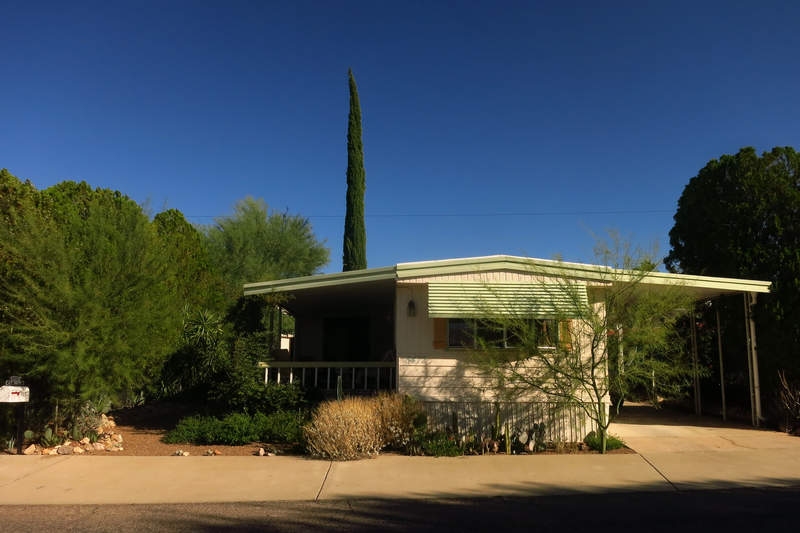
Here it is four years later: Mike and Betsy's "Rancho Relaxo"
As with the landscaping projects at Elmina Street, Hornbeck Road, 163 S Park and now 18 Huntington the plantings have worked their magic: Shade, privacy, birds, butterflies, lizards - they enjoy it as much as we do and we enjoy them as well.
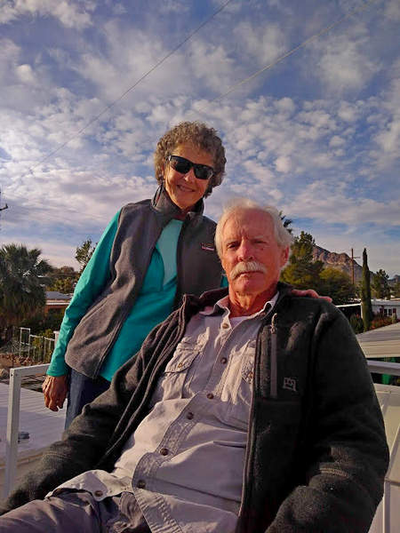
Bob had invited us down for Happy Hour and so it was we found ourselves on "Bob's Lofty Perch" enjoying a quiet sunset.
We were back at the house and prone by 8:00 (11:00 Morgantown) and that was the end of a busy day.
Sunday October the 6th 2019
Previously I had made arrangements to meet Leslie in Madera Canyon for a hike to Rogers Rock which is in the Santa Rita Mountains about 30 miles south of Tucson.
Betsy and I met Leslie on one of our led hikes and had kept in touch over the summer. Leslie is from the Mt Shasta area but was in Tucson for a bit to visit her dad. Happily those dates coincided with our arrival in Tucson.
Betsy decided to not to hike, wanting to get the house in order, especially her Relaxation Station on the front porch.
Leslie and I met up at the Mt Wrightson picnic area of Madera Canyon and shortly thereafter started the hike up to Rogers Rock.
Click on the photos below for a larger image.
The recent rains had kept things blooming including Hartweg's groundsel (Roldana hartwegii). This plant is found only in Texas and Arizona. It is quite common in Madera Canyon.
In the background you can see some withered fronds of the Bracken Fern (Pteridium aquilinum). Part of this hike is up through what is commonly referred to as "Fern Gully" and Pteridium is the fern it is named for.
Along the trail we saw a few plants of Lemmon's Marigold. The "lemmon" in this name refers to Sara Plummer Lemmon.
Lemmon (September 3, 1836 – January 15, 1923) was a botanist and explorer and was the first white woman to ascend Mt Lemmon (elevation 9,159'). Mt Lemmon is the highest peak in the Catalina Mountains which are on the west side of the Tucson basin.

Sara Lemmon in 1865.
Another plant named for Ms. Lemmon is Lemmons' Milkweed (Asclepias lemmonii). Betsy and I saw a nice specimen of this plant last October when hiking in Madera Canyon. Lemmons' Milkweed has a very limited distribution is know to occur only in southern Arizona.
Photos of the plant Betsy and I saw in October 2108 are here.
I am calling this Turpentine bush. Or is it Rabbit bush? Last year I thought I knew which was which. Now I am not sure. Anyway, it sure is purty!
One of my favorite views - Mt. Wrightson as seen from the top of Rogers Rock. Wrightson is nicely framed here by the overhanging branches of a stunted Apache pine Pinus engelmannii which grows right out of a crack in Rogers Rock.
Mt Wrightson (aka "Old Baldy") is the highest peak in the Santa Rita Mountains. Wrightson tops out at 9,456' making it just shy of 300' taller than Mt Lemmon.
I have submitted Wrightson on three occasions.
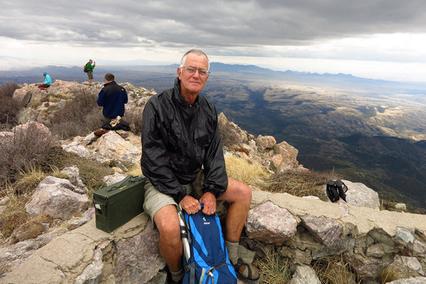
Here I am atop Mt Wrightson March of 2015.
On December the 14 of 2016, my 64th birthday, I hiked solo to the summit. It was a bit dicey as there was ice and snow on some parts of the trail.
In 2017 I submitted again with two others who were much stronger hikers than I. I spent the whole day just trying to keep up. When we got to Baldy Saddle we were nearly knocked off our feet by the wind and the backside of Wrightson was snow covered. When we got to the summit the bitterly cold wind was howling. No relaxing and taking in the view this time.
The three of us huddled down in some cracks in the boulders for a bit of a rest and then it was back down the mountain. When we got to the car I literally could not stay on my feet and fell just feet from the car. Exhaustion. That was my last time on Wrightson and so it shall remain.
Okay - where were we? Ah, yes - Rogers Rock!
The top of the rock makes a great place to stop for snacking and taking in the view and this is exactly what Leslie and I did. We musta chilled for about an hour enjoying the warm sun and sound of the breeze stirring in the pines.
On the way down we saw more beautiful Arizona Sycamores (Platanus wrightii). Like the sycamore we have back home in West Virginia, the older peeling bark reveals a nearly pure white bark underneath.
When we got back to the parking area Leslie and I said our farewells and headed our separate ways.
On the way back out of the canyon I stopped for a few quick shots. Here is a view of both Mt Wrightson (left) and Mt Hopkins, the two highest peaks in the Santa Rita mountains. Hopkins is home to the Whipple Observatory and has a road to the top.
The summits were named for two mining investors. Here is the story.
A partnership of six men, including William Wrightson, Gilbert Hopkins, Samuel Robinson, Raphael Pumpelly and Horace C. Grosvenor, formed the Salero Mining Company of Cincinnati, Ohio, in 1857. Operating from their headquarters in Tubac (AZ), the company built a new mine over the old Spanish workings and put local Mexican settlers to work doing the manual labor.
The Salero Mine became a steady producer, but Apache raids prevented the company from exploiting it to its maximum potential. Several of the miners were killed in Apache raids, including Wrightson and Hopkins, for whom the two tallest peaks in the Santa Rita Mountains were named.Source: WikiPedia
Monday, October the 7th 2019
Betsy and decided on just a short walk for this morning. Knowing the temps were going to be in the low 90s we got an early start. And today was shopping day as the cupboard was bare! And then of course there was the Main Event - Happy Hour and dinner at Janet and John's. "Happy, busy life!"
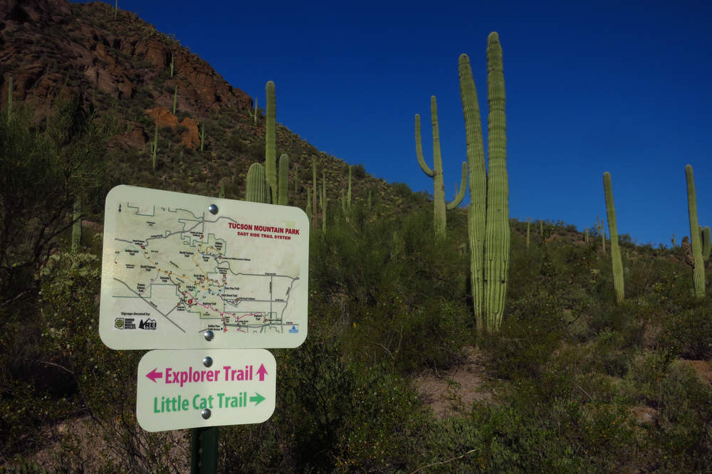
We left the Rancho at about 6:30 a.m. and walked up to the trailhead. This access point allows us to hike as far as we want and some mighty fine hikes can be embarked upon from here.
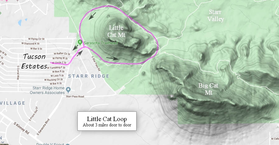
The route for our morning stroll.
Here is a look at Little Cat Mt. It is funny what are referred to as "mountains" out here. At home this would be a little hill. We continued on the trail until it took a sharp left on to a rocky and somewhat steep ascent up to a small saddle. Then it was back down the other side which is equally steep and rocky.
When we had just about reached the gently sloping bajada a woman came around the corner, looked at us and in a loud voice asked: "Is that your dog?" "No." we replied. Then we said: "You saw a dog out here? Dogs are not permitted". She pointed to the east and said she had seen it "out there". I took a few steps down slope to take a look at this "dog" and was met by the unwavering and concentrated stare of a coyote. I stood there as it nicely displayed its "coyote pause" (move away but then stop after a distance and look at you). Then it turned tail and disappeared. Cool. We always love seeing coyotes.
Back at the trail head we stopped to admire the fruit on some Cow's Tongue Prickly Pear which had been planted atop a berm separating the trail from the parking lot.
Cow's Tongue Prickly Pear is a variant of Engelmann's prickly pear (Opuntia engelmannii) which is common in the southwest US and Mexico. Some sources refer to this variant as Opuntia engelmannii var. linguiformis. Now you know.
The fruits are quite distinct and this year, quite numerous.
With this many fruits it must have been quite the show when it was in bloom.
After getting back to the Rancho we reorganized and headed out the door. Betsy dropped me off near the Tucson Estates (TE) office and then continued on to do the first major grocery shopping. This would take her awhile and I (and she) were glad I would not be along.
I stopped first at the dentist office which is just a short walk from the Rancho and made an appointment to have a nagging tooth checked out. Then on to the TE office to sign a HUD form to verify we are indeed old now.
As I walked back to the Ranch I took a few pics of some flowers. There were more than usual on display because of the recent rains.
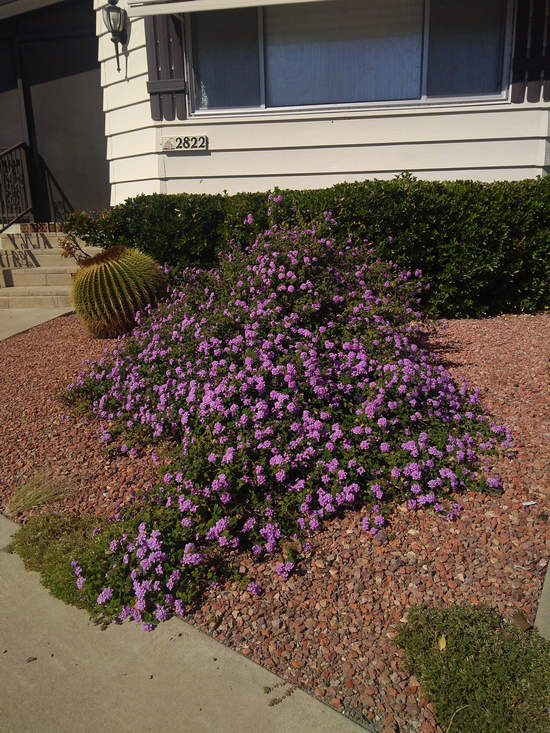
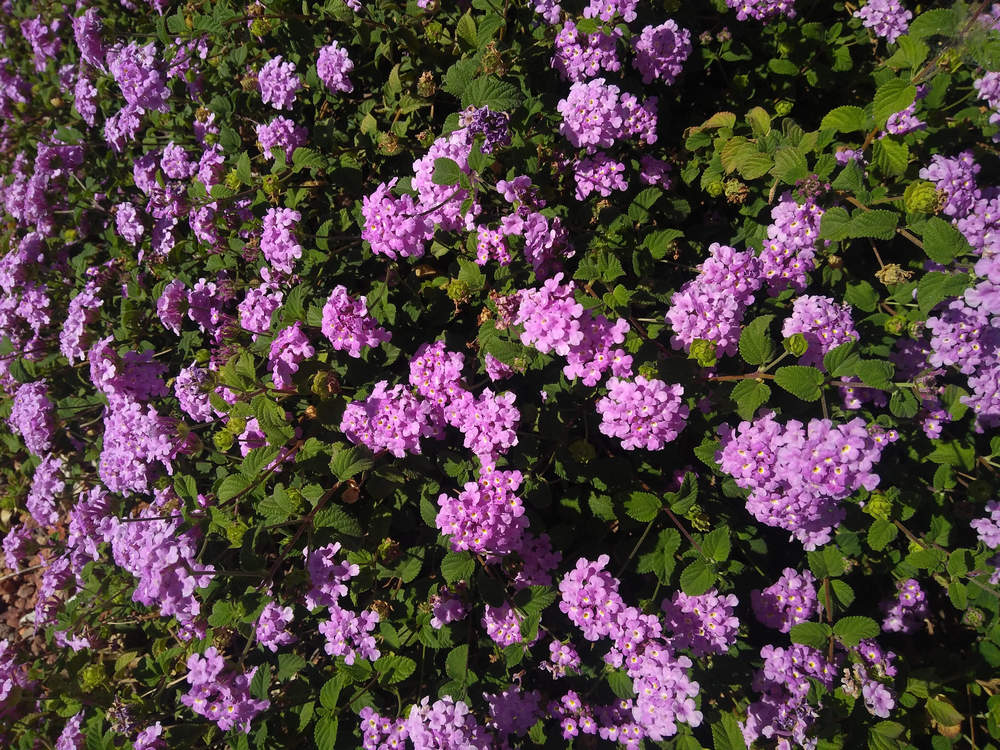
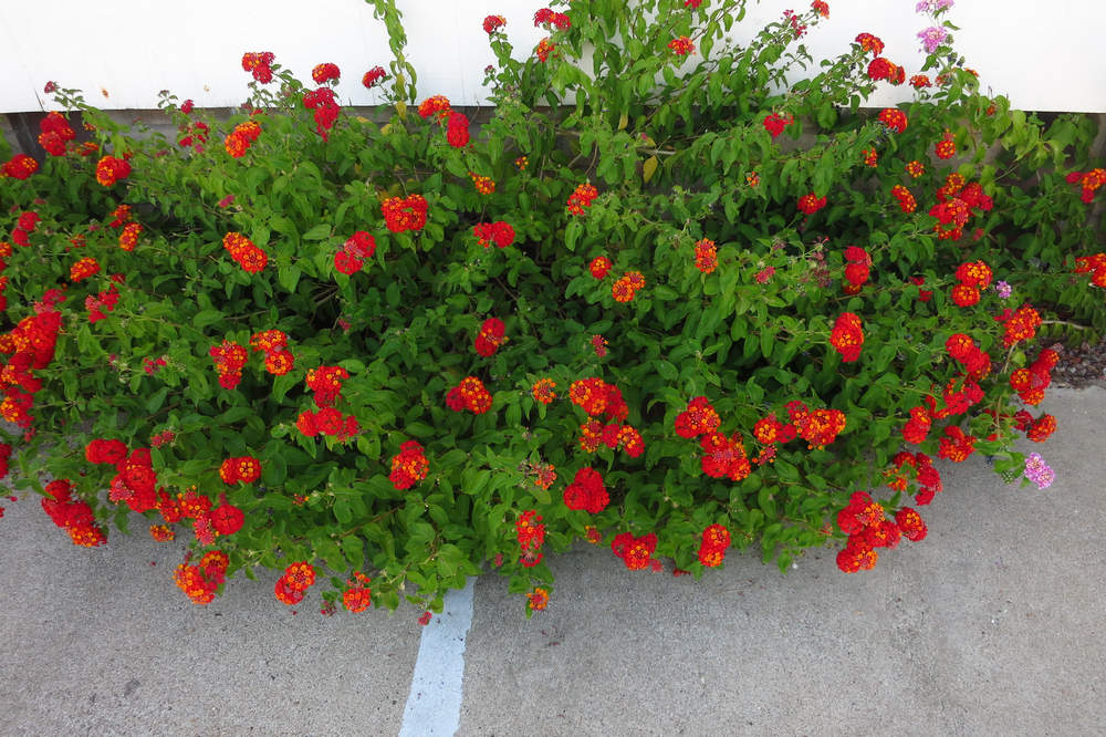
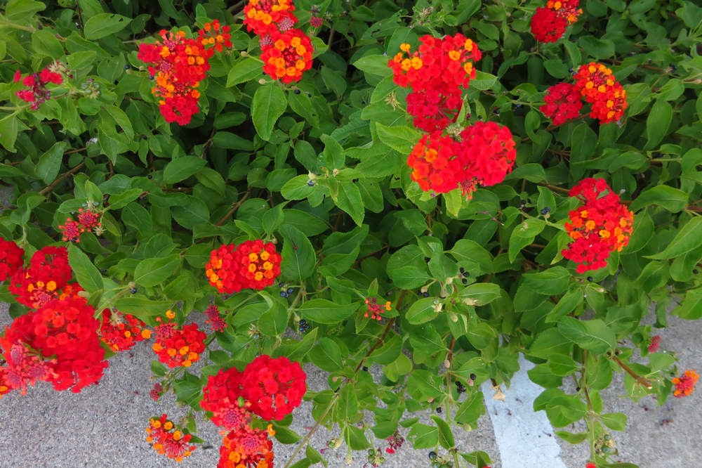
A very popular and ubiquitous ornamental plant here in Tucson is lantana. There are many color forms from intense sulfur yellow to soft lavendars. In West Virginia lantana is sold as an annual. It is a woody plant and will grow, grow, grow and will quickly be out of bounds. Annual pruning helps keep it confined and nice and bushy for lots of flowers.
Here and below are some pics of some lantanas I saw on the way back from the dentist's office.
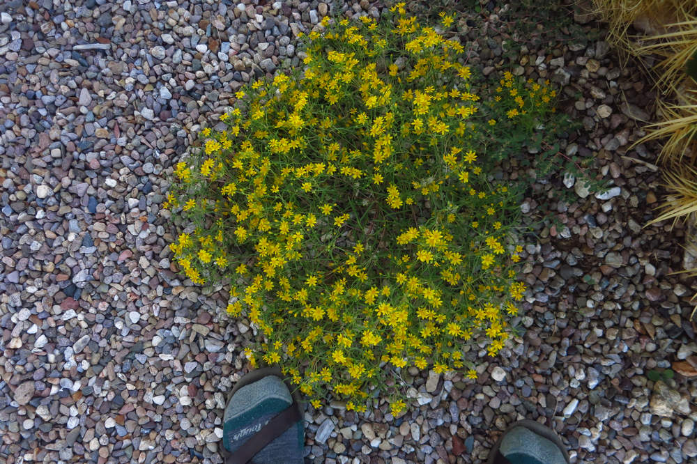
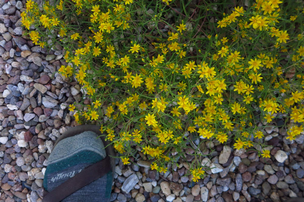
I don't know what this little cutie is or whether it is native or not.
It certainly makes a nice ground cover whatever it is.
WOW! We have seen a number of barrel cactus (Echinocactus and Ferocactus) with late blooms. This one has fruits from three flowering cycles as well as new flowers.
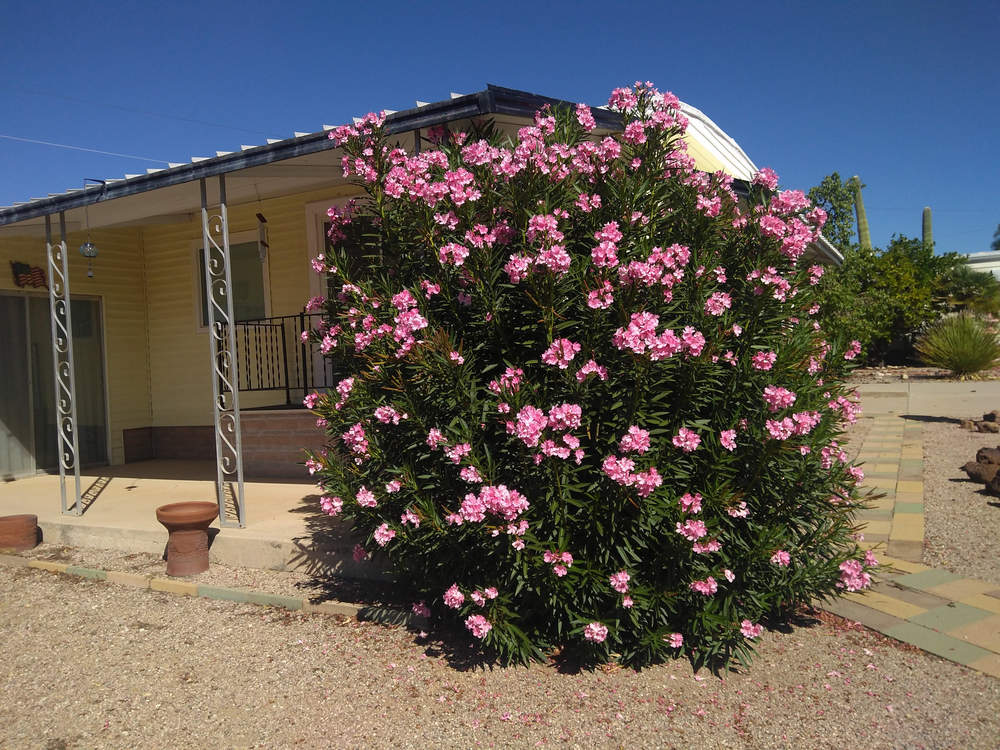
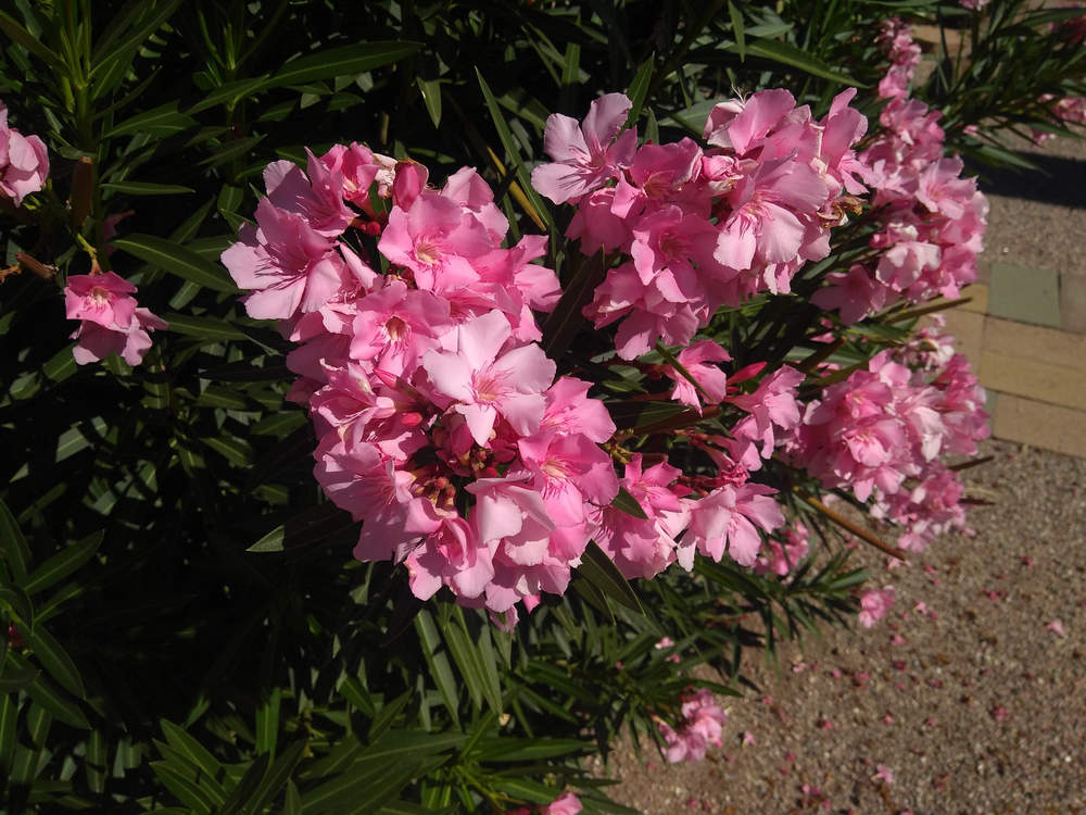
Another very common shrub here is Oleander. This plant is very vigorous and will produce hedges 20' tall if not kept pruned back. It also comes in a variety of colors. This is the first time we have seen just every Oleander (Nerium oleander) in Tucson Estates with flowers.
It typically occurs around stream beds in river valleys in its native range but it does very well in the arid Sonoran Desert.
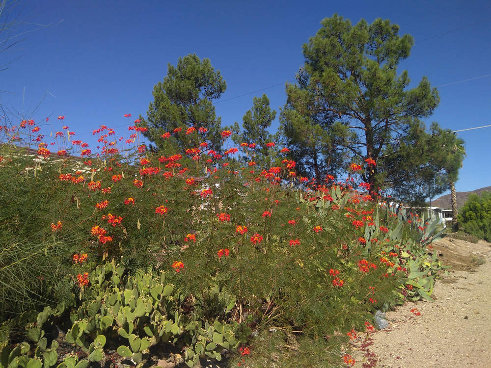
Growing along the back of one of the many arroyos here I spotted a nice specimen of Bird of Paradise (Caesalpinia gilliesii). Not to be confused with the bird of paradise which is in the genus Strelitzia.
The conifers in the background are Aleppo pine (Pinus halepensis) which is a pine native to the Mediterranean region. It has been planted all over the Tucson area and eventually grows into a tree with a large, spreading crown which produces a nice deep shade for yards and parks.
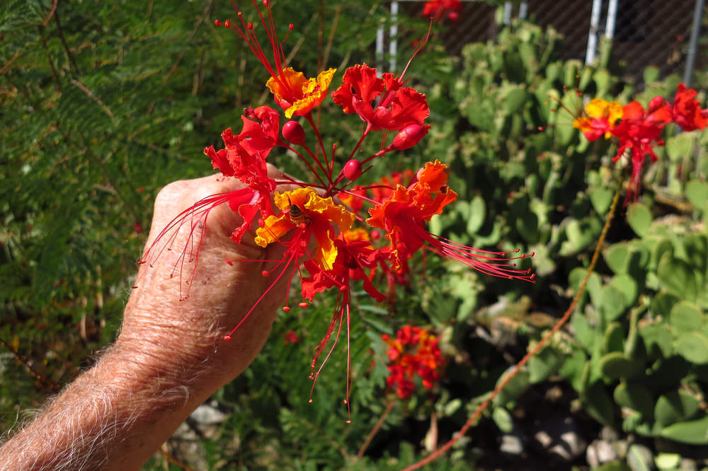
The Bird of Paradise flowers are quite distinctive.
It is a striking ornamental plant native to tropical America, mainly Argentina and Uruguay. It is naturalized in Texas, and fairly common in the rest of the southwestern United States, where it is known as bird of paradise bush, desert bird of paradise, yellow bird of paradise, and barba de chivo.
Source: WikiPedia
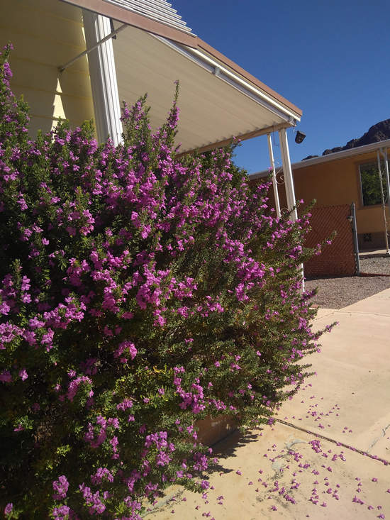
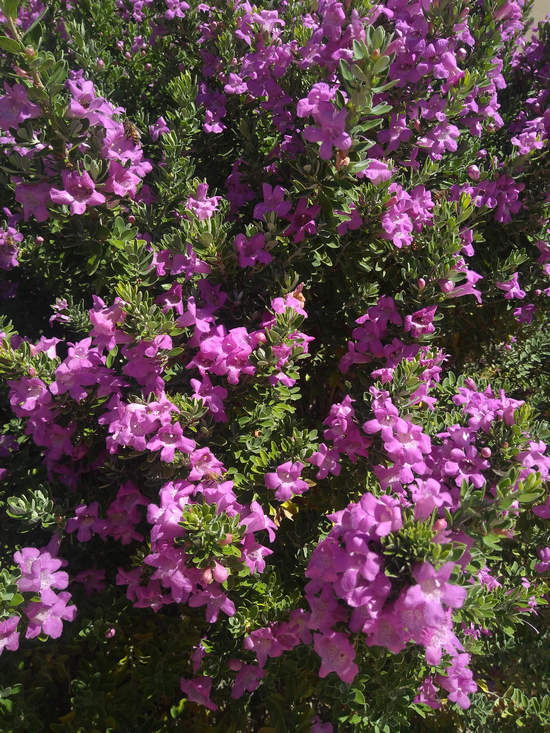
I saw a plant identical to this labelled as "Fragrant Sage" in a garden center. However it is not in the genus Salvia but in the genus Leucophyllum. There are about a dozen or so species which are native to the southwestern United States.
Beauteous!
Ha, ha, ha... the owner lives just down the street from us.
Around 4:00 we headed north toward Marana. John and Janet, whom we had met on one of my hikes, had invited us to Happy hour and dinner. Lucky us! John and Janet are avid hikers and they have taken me on some really nice hikes: Elephant Head, Panther Peak, Safford Peak and last spring took Betsy and me on a hike to a far northern section of the Catalina mountains referred to as "the Golder Ranch". The area is just to the north of Catalina State Park and the scenery is spectacular.
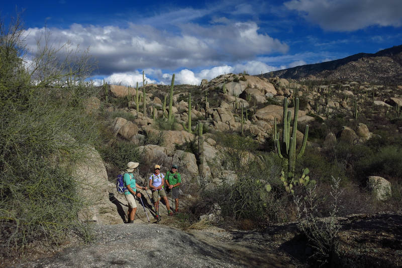
Hiking with Janet and John in at the Golder Ranch area.
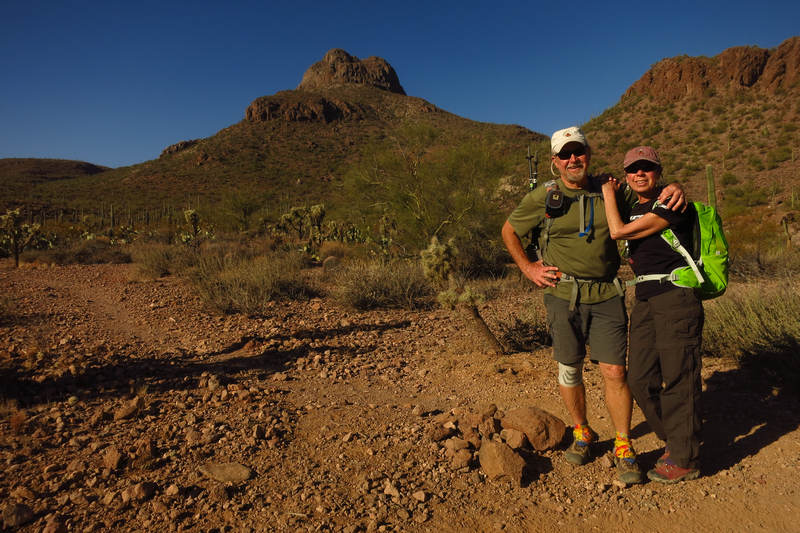
Here are John and Janet with Safford Peak in the background. Safford has two "knobs" -one is higher than the other. I had been on the lower one before and found the hike not too difficult. John and Janet took me on the route to the upper knob. I admit I got a bit shaky especially coming back down. Steep with lots of loose rocks. If one slipped it might be awhile before something stopped his slide.
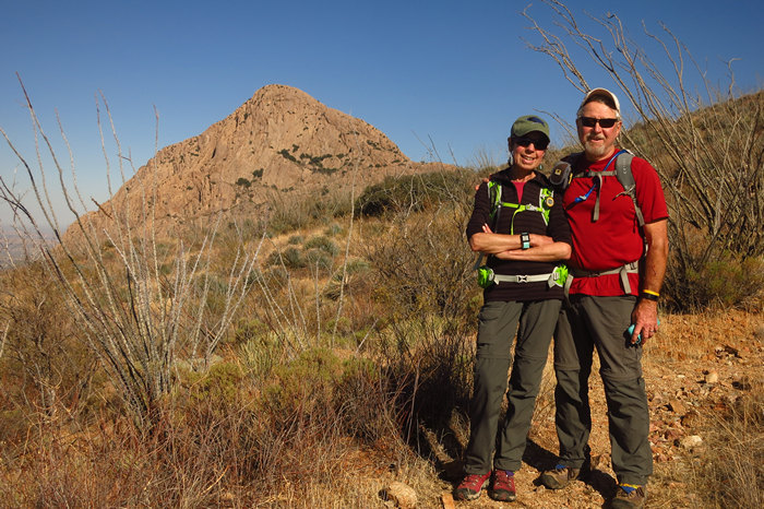
That's Elephant Head in the background. It was quite the drive to get there and I am glad John and Janet did the driving.
This was one of the most beautiful hikes I have ever been on. Incredible scenery and lots of ferns and other goodies.
When we got to what I will call the saddle near the top of Elephant Head I knew I would not be able to continue. There was no route, you just walked straight up the naked and exposed spine. I got queasy just looking at it. Chagrinned I told John and Janet to go ahead and I would just wander around and take pics until they got back. Oh, well...
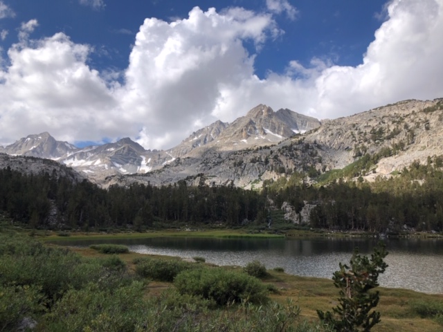
John and Janet get around. This summer they went up to the Canadian Rockies and spent a month hiking around the Mammoth Lakes, CA area. This was one of several nice pics Janet sent me while they were there.
Janet sent many fine pics and we talked back and forth about Betsy and I taking a trip to the Mammoth Lakes area for some hiking. Along with dinner we were to discuss our trip and look over the numerous books and maps they had for the area.
But guess what. I got a bad case of "reluctance to get in the car" and so we decided to cancel the trip. Again: chagrin.
And dinner? Mmmmm! Chicken enchiladas smothered with green chilies and tasty pintos on the side.
I had some pics of John and Janet in action cooking this meal for us last year but I could not locate them. DRAT!
Tuesday, October the 8th 2019
Betsy and I got another early start and headed down to Madera Canyon for a short hike on the Nature Trail. We started at the Amphitheater and hiked up to the end of the trail at the Mt Wrightson picnic area. The hike is just shy of 4 miles.
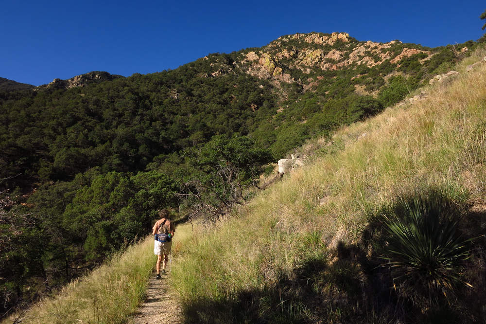
One of the things I love about staying in the Tucson area is the diversity of plants and biomes and scenery. We left Tucson Estates which is in the heart of the Sonoran Desert and 40 minutes later we were in a cool and shady canyon hiking under large oaks, madrone and various conifers. Almost too good to be true.
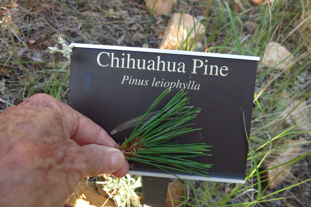
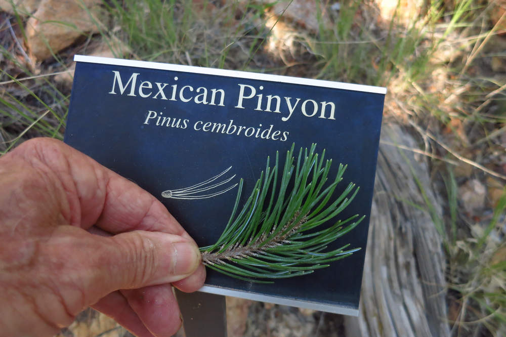
Western conifers have always been a challenge for me. So many species! Perhaps some day all the names will sink in and stay a while.
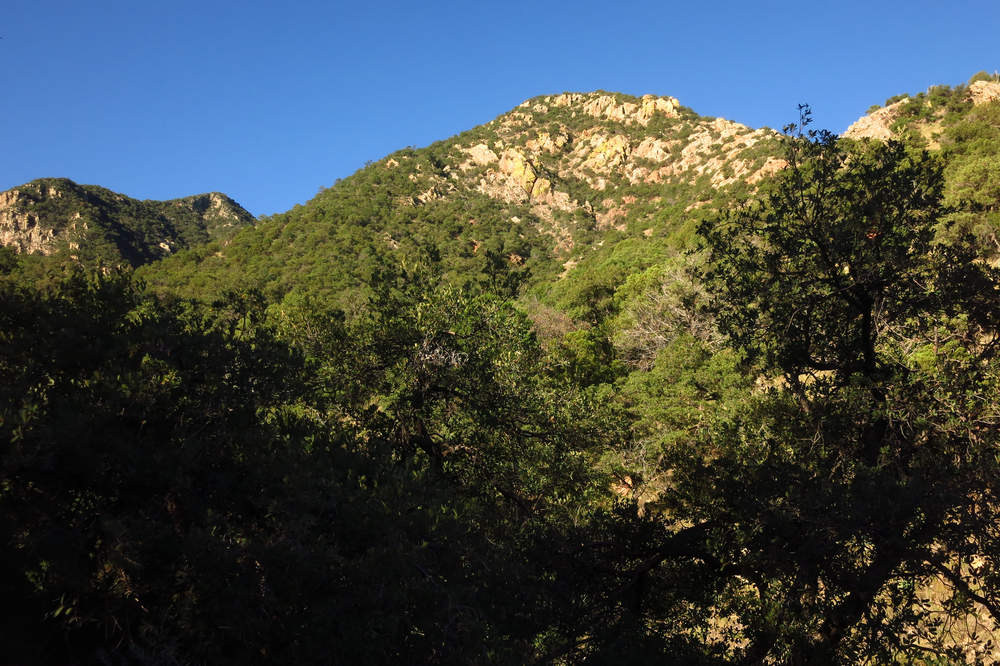
With a deep blue sky and bright sharp sunshine the rocky slope really looked gorgeous.
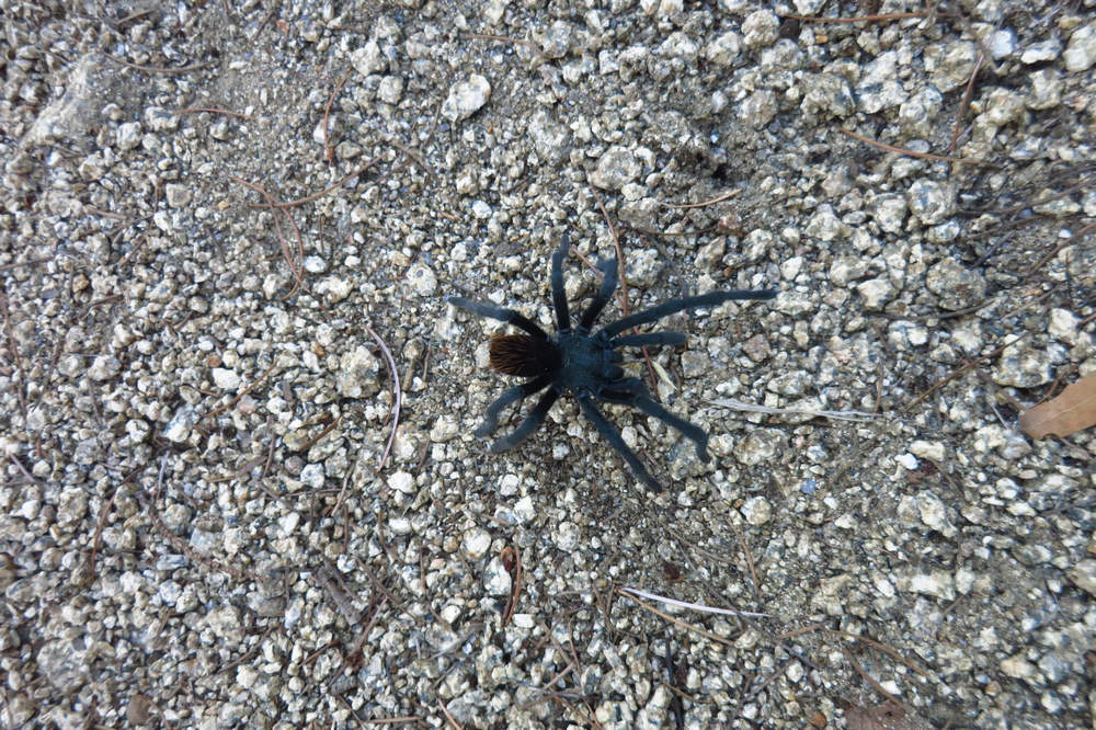
Eeek! A spider! Trubba not - it's just an itty-bitty tarantula. Which species? Well... there are about 30 species of tarantulas in Arizona so your guess is as good as mine.
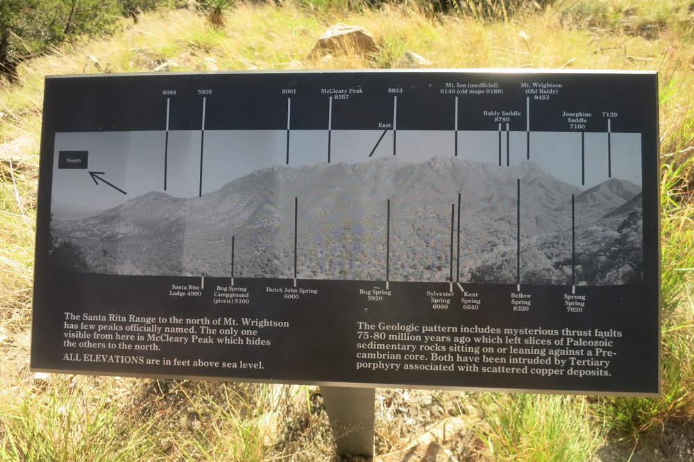
We always stop here and take in the view. If you click on the image you can read all the labelled mountains and other landforms.
I have always been curious about these grassy area with no trees? A fire perhaps? If so, why no woody regeneration?
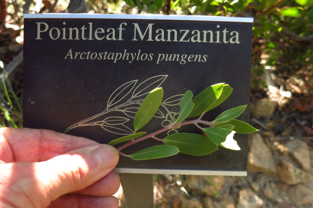
Betsy and I love the Manzanitas and Madrones. The bark is a deep reddish-brown and as smooth as silk. They both produce copious amounts of bell shaped flowers and then set red fruits. BTW - the word manzanita is the Spanish diminutive of manzana (apple) The fruits look like little apples.
When we arrived at the Mt Wrightson picnic area we found a spot for our snack/rest stop.
No sooner did we get settled in than the sounds of wild hooligans pierced the quiet. We sat there quietly for a while then realized the noise was not going to let up. As we walked back down the trail we could hear the screaming and yelling for halfway down the canyon. Gotta love those considerate parents.
Wednesday, October the 9th 2019
We took the day off and neither Betsy or I can remember a thing we did that day.
Ahh... the aging brain.
Thursday, October the 10th 2019
About 15 minutes to the west of us there are a number of nice hiking trails. Two of our favorites are Brown Mountain and King Canyon. King Canyon connects with a number of other trails including the Gould Mine trail.
Another early start and we were on the Gould Mine Trail by 7:00. This loop hike is just over 3 miles and has some interesting plants and cultural artifacts to see. There is a Google map of the Gould Mine - King Canyon Loop here.
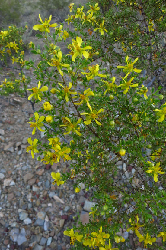
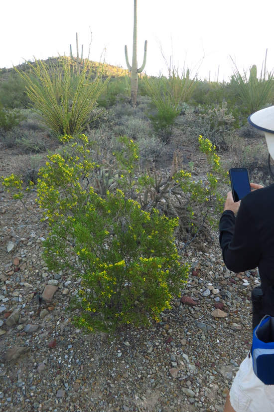
We no sooner started than we spotted some creosote bush (Larrea tridentata) in bloom. This shrub grows widely in the arid southwest and has the unique ability to suppress the growth of other plants so there is more water available for its use.
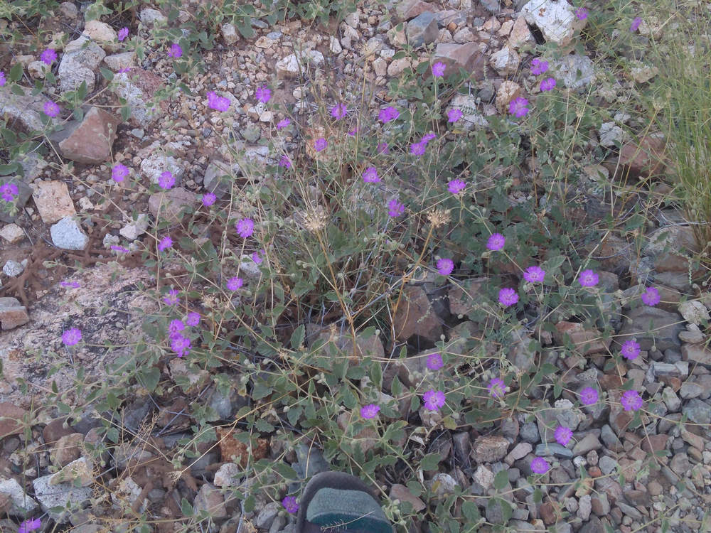
What is this? I thought I knew. In fact I did know about 6 months ago. Now I have lost it.
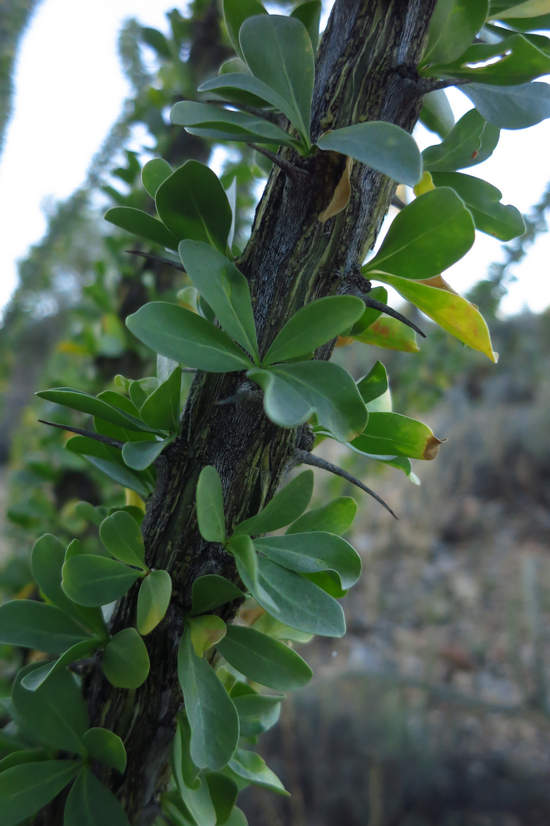
Many of the Ocotillo (Fouquieria splendens) were still in leaf but they were losing their leaves fast.
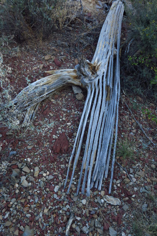
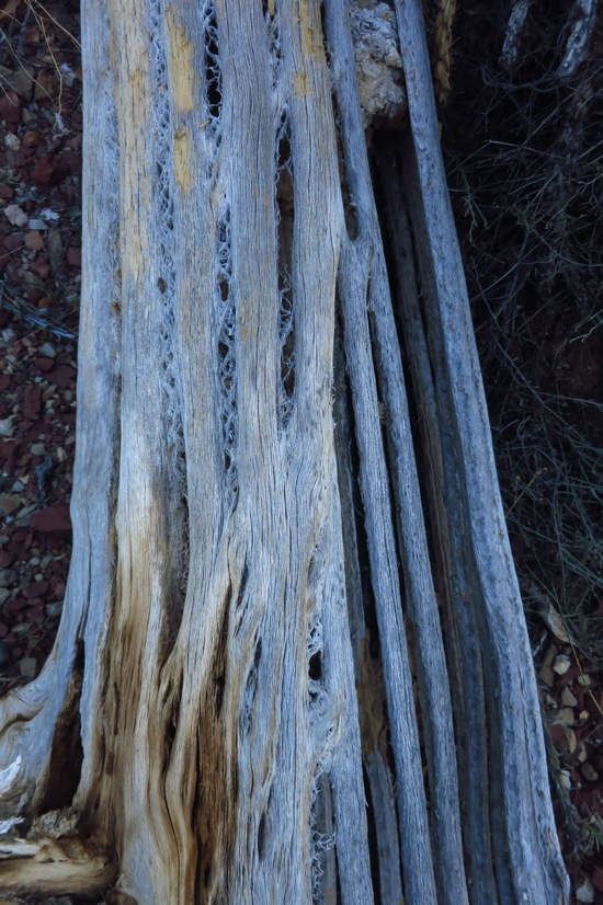
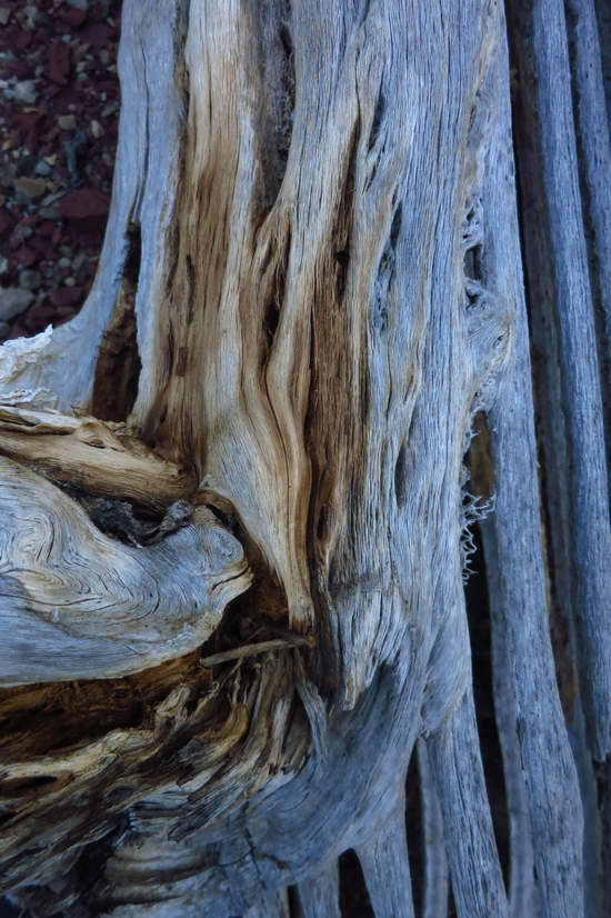
A saguaro skeleton is a sad and beautiful thing to see.
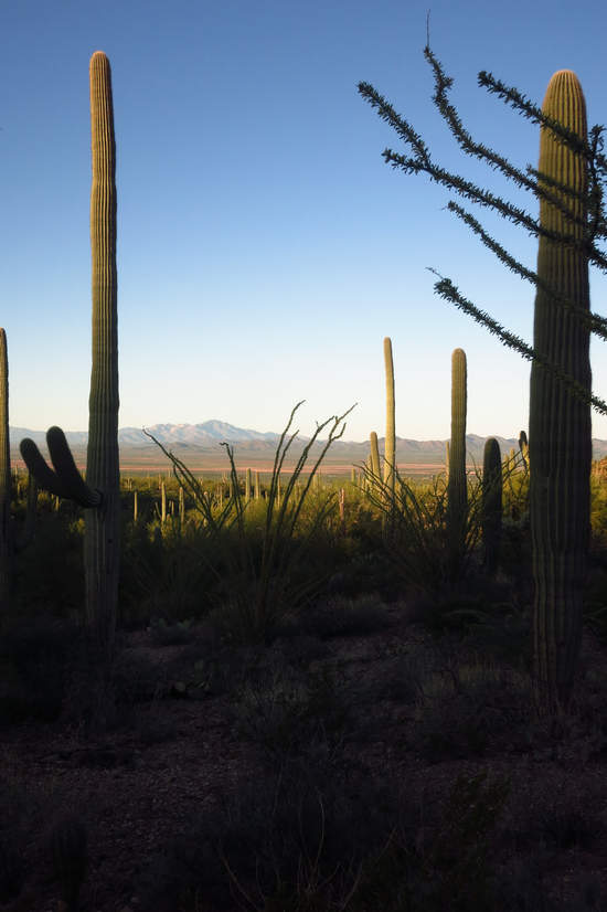
This is looking across the Avra Valley to the Quinlan Mountains and Kitt Peak which is home to the famous observatory of the same name.
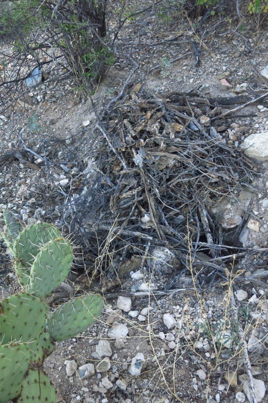
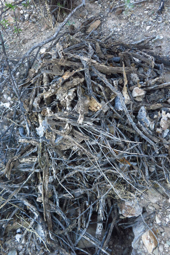
Pack Rats! This pile of woody rubble is the protected entrance to a pack rat den. The pile of debris is called a midden.
Wanna read something amazing? Check this out.
A pack rat midden is a debris pile constructed by a wood rat. A midden may preserve the materials incorporated into it for up to 50,000 years, thus may be analyzed to reconstruct their original environment, and comparisons between middens allow a record of vegetative and climate change to be built. Examinations and comparisons of pack rat middens have largely supplanted pollen records as a method of study in the regions where they are available.
Source: WikiPedia
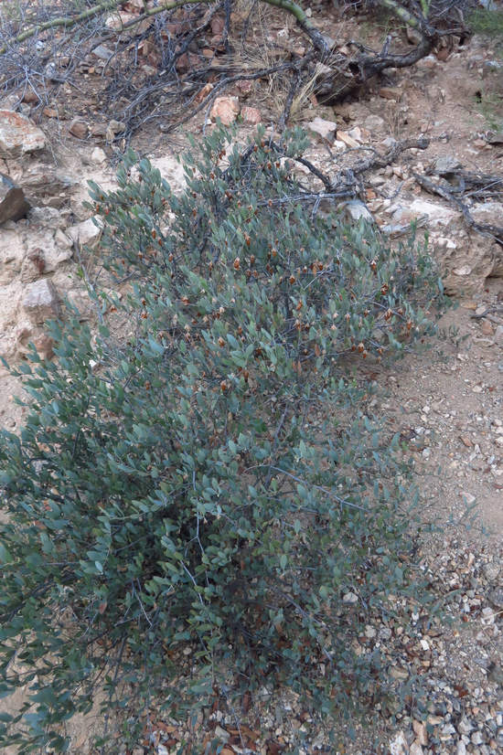
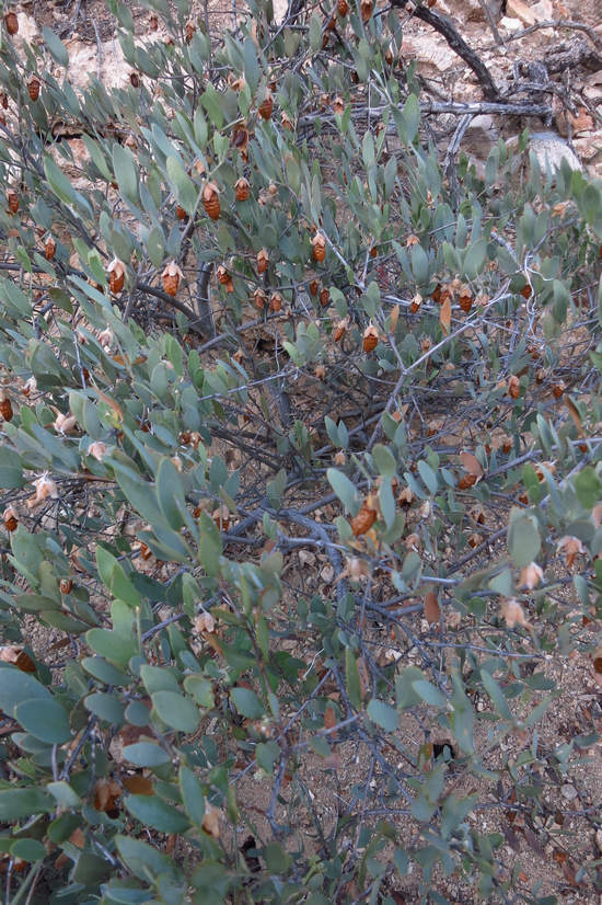
Most of this loop uses the old mining road. On the road banks grows another interesting Sonoran shrub - the Jojoba (Simmondsia chinensis).
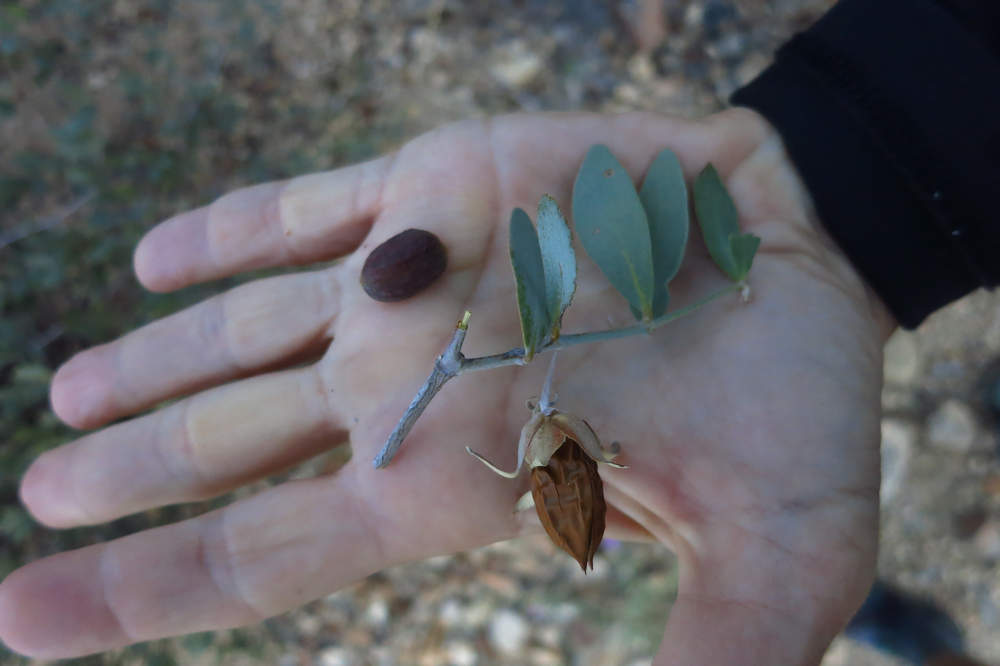
The nut like seeds of the Jojoba are about 50% oil and they are good sustenance for javelinas and coyotes.
Jojoba, also known as goat nut, deer nut, pignut, wild hazel, quinine nut, coffeeberry, and gray box bush, is native to Southwestern North America. Simmondsia chinensis is the sole species of the family Simmondsiaceae, placed in the order Caryophyllales. Jojoba is grown commercially to produce jojoba oil, a liquid wax ester extracted from its seed.
The common name "jojoba" originated from O'odham name Hohowi. The common name should not be confused with the similarly written jujube (Ziziphus zizyphus), an unrelated plant species, which is commonly grown in China.Source: WikiPedia
Jojoba leaves have an aerodynamic shape, creating a spiral effect, which brings wind-born pollen from the male flower to the female flower.
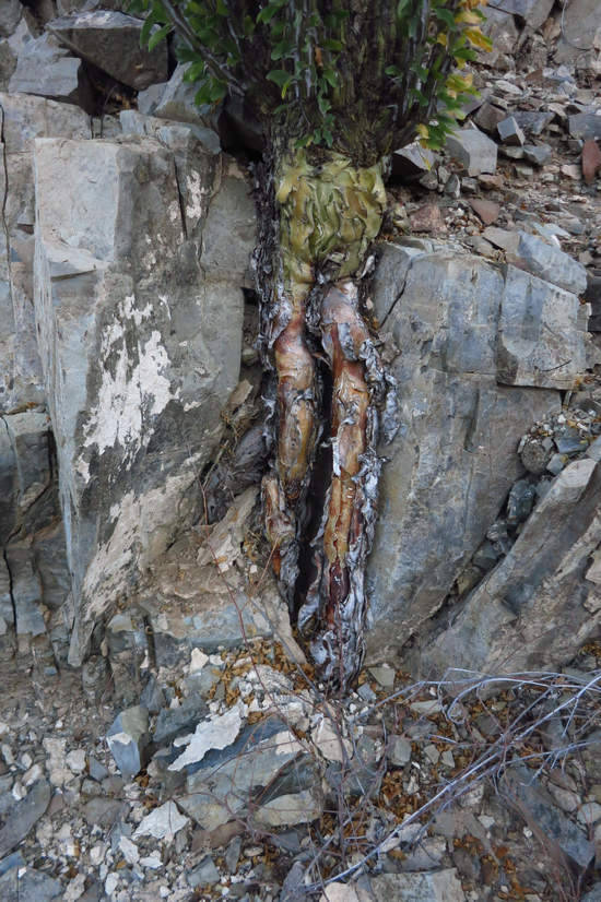
At the base of this Ocotillo you can see where the lower stem and root growth have caused a section of rock to separate exposing the thick root section.
Whether these are technically roots or not I do not know but they certainly interesting looking.
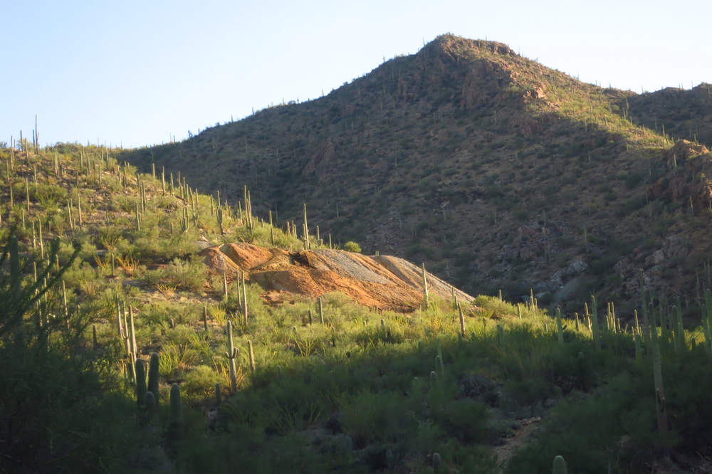
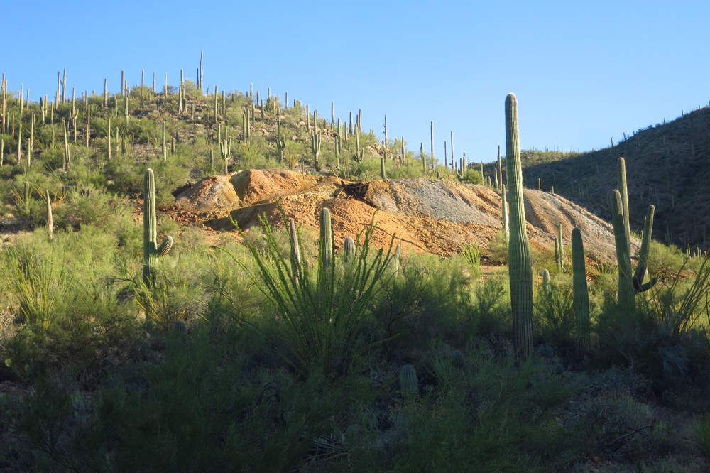
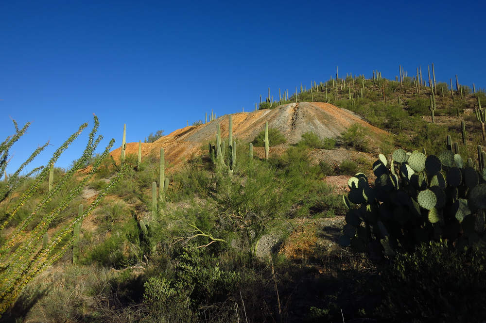
Here is a look at the Gould mine tailings. The mine was in operation from 1906 to 1954.
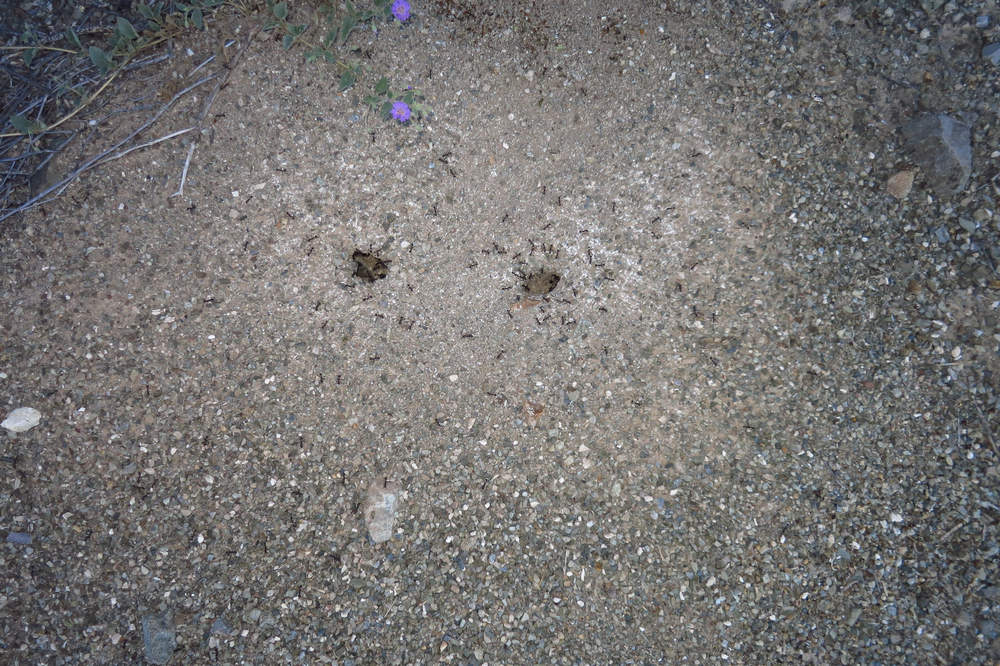
We often see ant nests when hiking and always hope to see a Horned lizard snacking on them but so far this has happened only one time.
© 2009-2019 TucsonSentinel.com Tucson, Arizona
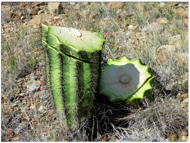
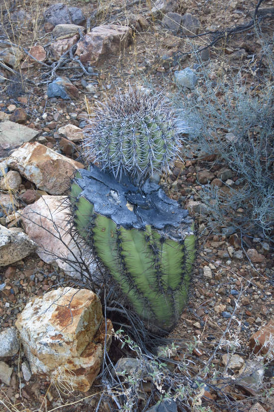
In January of 2016 two ass holes decided it would be fun to decapitate some Saguaros with their machetes. When they had finished, 9 Saguaros had been vandalized. Seen here is the result of that stupidity.
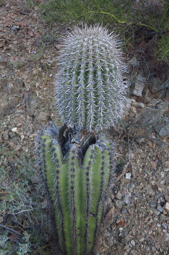
Here is what the Saguaro above looks like two and a half years later. It will be interesting to see if the wound heals over completely with a callous as a woody plant might.
Another decapitated but still growing Saguaro.
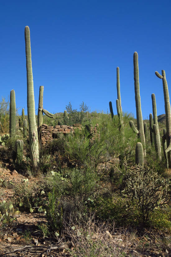
We are now directly below the shaft opening of the Gould Mine.
This is clearly visible from Kinney road and I am sure it has piqued the curiosity of many a driver. It did mine and that is how I ended up hiking the Gould Mine trail.
Here are the remains of the old powder house near the mine opening.
I have come across three different sources for the depth of this shaft. One stated 175' another 300' and the one I consider most likely - 350'. The latter figure comes from https://www.mindat.org and you can read more specifics about the Gould mine on that site
There was a close call in the late 50s which could have resulted in what you see here being an extensive open pit mine.
During the late 1950s, the Banner Mining Co. acquired the Gould Mine with the intention of resuming mining operations. The Bureau of Land Management had agreed to reopen that acreage of land for mining.
Because of public outcry against this action, Saguaro National Monument was expanded by Presidential Proclamation 3439 issued by President Kennedy on November 15, 1961. This action successfully defeated future claims at the Gould Mine by including it along with 5,360 acres of land as the western unit of Saguaro National Monument.
Source: tucson.com
Soon we intersected the Sendero Esperanza Trail and then the spur trail up to the Mam-A-Gah picnic area.
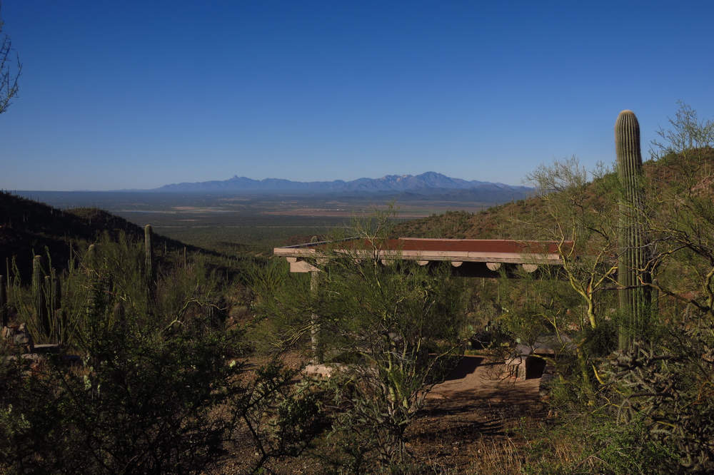
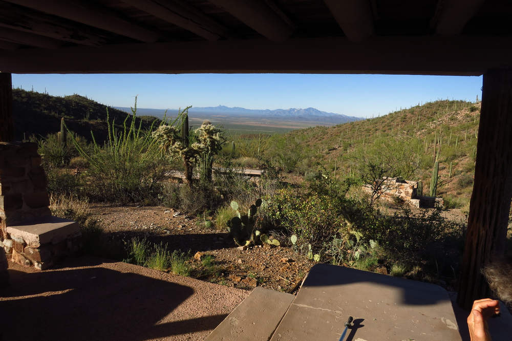
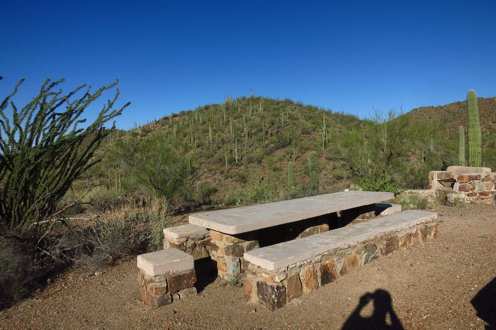
Here we are at the Mam-A-Gah picnic area. Quite the view, eh? The far left peak is Baboquivari Peak to the right we again see Kitt Peak.
The Mam-A-Gah picnic area was named after a Tohono O’odham Indian Chief and we have the CCC to thank for the ramada, picnic table and BBQs.
(In the 1930s) The Civilian Conservation Corps (CCC) built structures at eight picnic areas in Tucson Mountain Park, five of the picnic areas later became part of Saguaro National Monument, Tucson Mountain District: Ez-Kim-In-Zin, Signal Hill, Sus, Cam-Boh, and Mam-AGah. Two picnic areas, Juan Santa Cruz and Ironwood, are still part of Tucson Mountain Park.
The men from Camp Pima transformed Tucson Mountain Park, constructing or improving not only the 8 picnic areas, but also 29 erosion control and wildlife water supply dams, two wildlife water supply facilities each with a windmill and reservoir, a number of roads, hiking and horseback trails, including the Hugh Norris and Brown Mountain trails, as well as landscaping. Much of what the public sees today in TMP and TMD is the result of work performed by the CCC.Source: Ronald Beckwith - Archeologist, Saguaro National Park
The view from under the ramada, which unfortunately is falling into a state of disrepair.
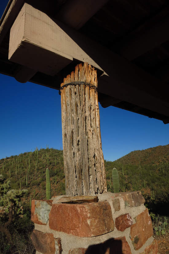
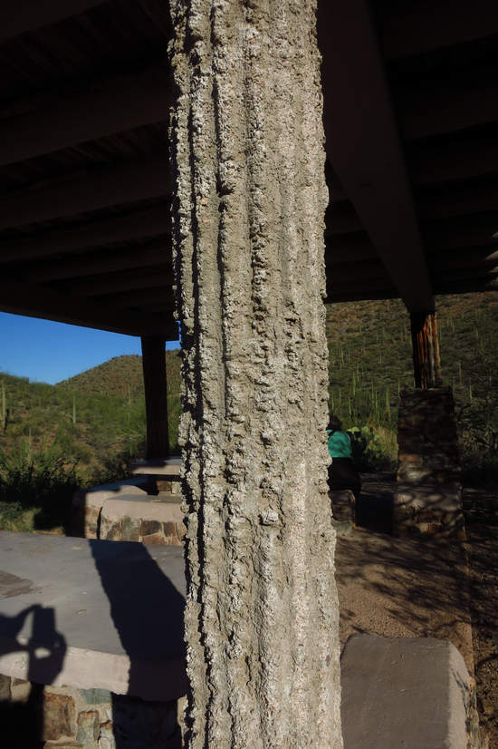
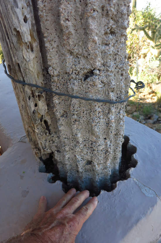
The CCC designers and crafters are well known for using local materials for their construction projects. Here we can see a Saguaro skeleton which was used for a concrete form.
This pillar has lost its Saguaro skin and the other will be gone soon if nothing is done to repair and stabilize the structure.
At some point someone tried to keep the Saguaro form in place with sections of fencing wire but that effort met with limited success.
Another hallmark of CCC design and construction - built to last!
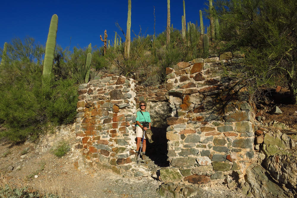
Here is the original restroom for the Mam-A-Gah picnic area. The walls are made from local stone and the slab and flat roof are of poured concrete. Again - built to last.
If you are interested in the geology of this area you can find out more here.
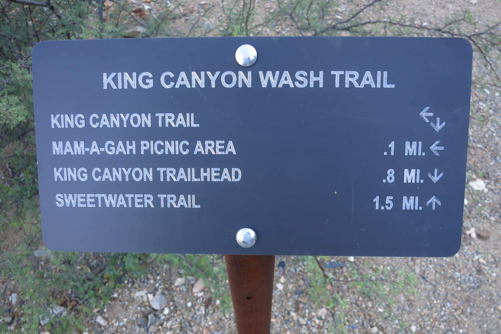
We have now intersected the King Canyon wash trail and are about 1 mile from the parking area.
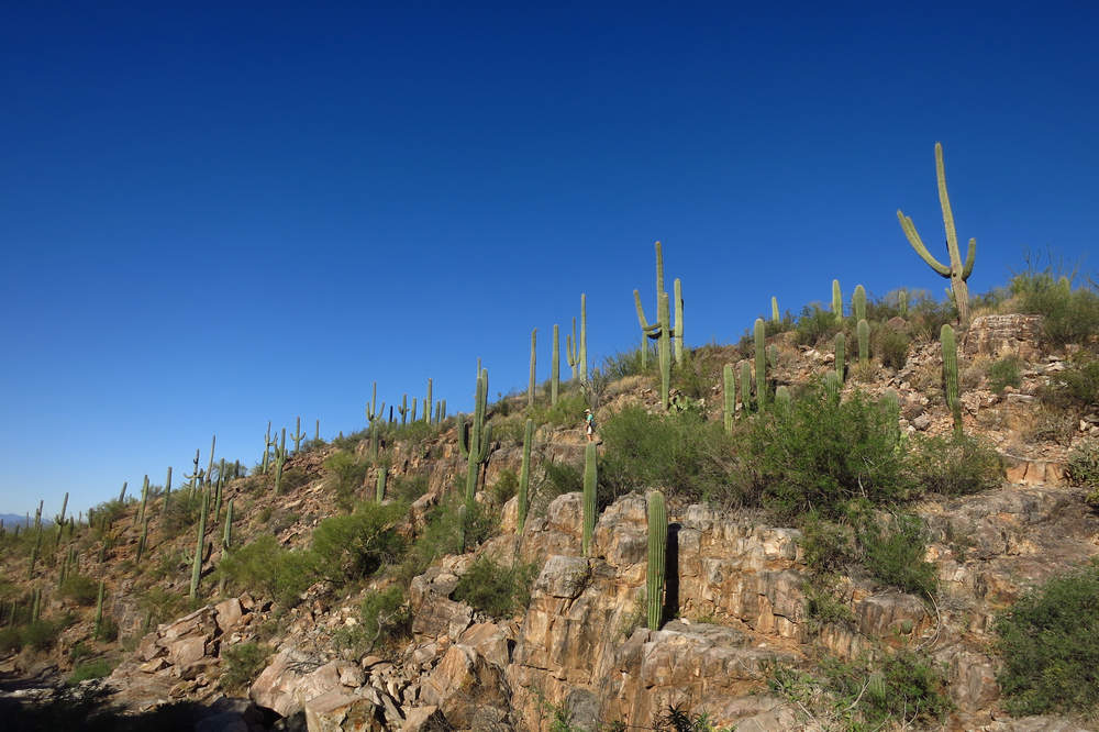
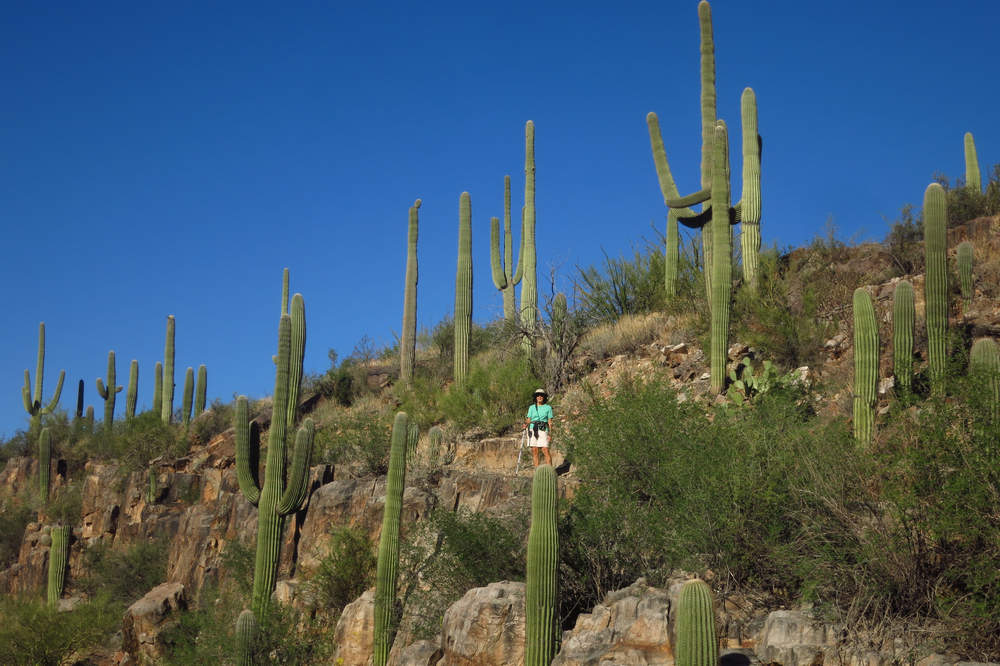
Can you spot Betsy in the middle of this photo? She decided to do a bit of off trail exploring and I snapped a couple of pics.
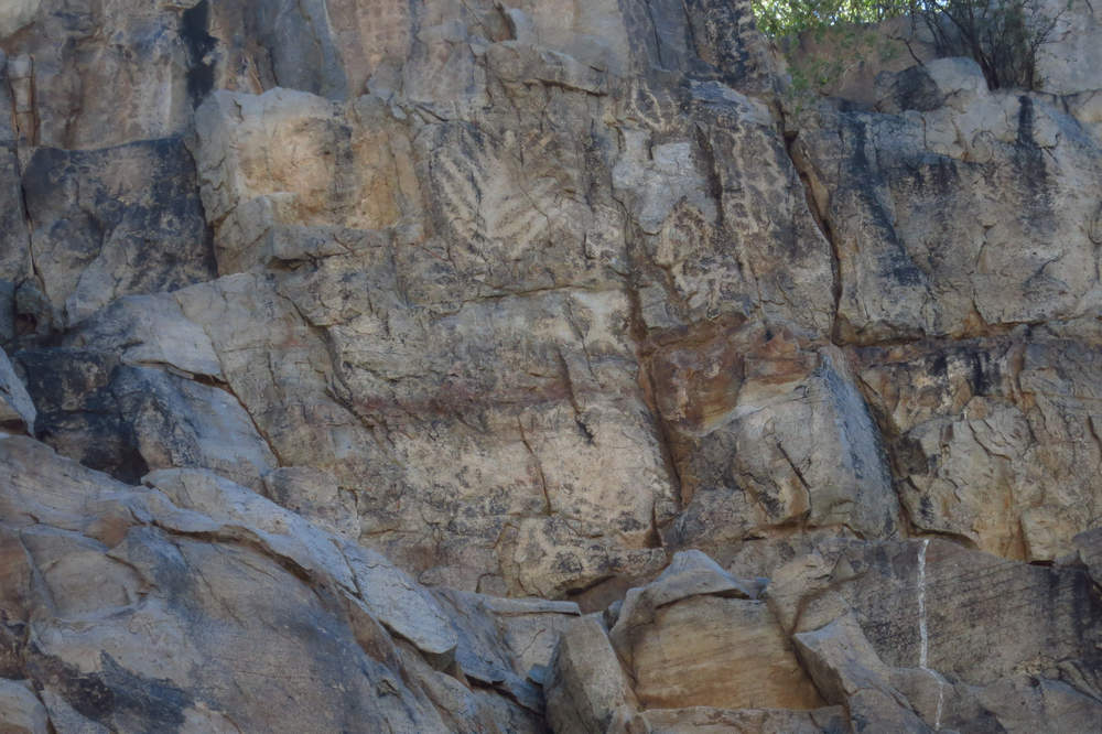
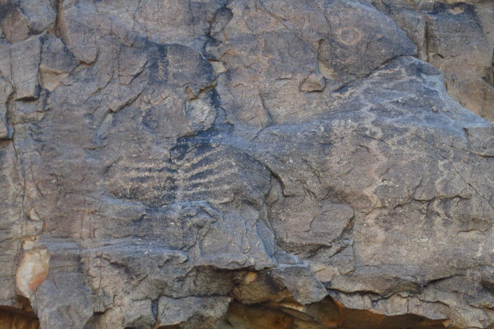
King Canyon is well known for its petroglyphs. They date from anywhere between A.D. 300 and 1450 and they are etched in the varnish of the rock.
What's the difference between a petroglyph and a pictograph? A petroglyph is an image carved, incised or scratched into stone. A pictograph is a painting on stone, using natural pigments.
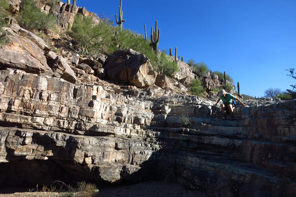
The King Canyon wash trail has a series of ledges which are always fun to climb up or down.
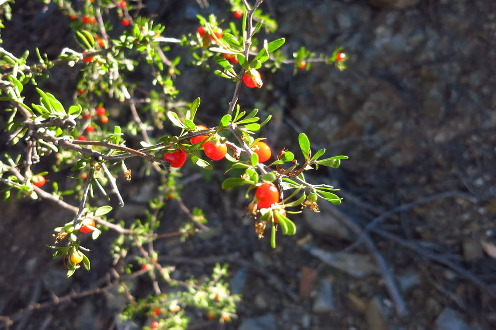
We saw lots of fruits on the Arizona Desert-thorn (Lycium exsertum)
The berries were used in various ways by the indigenous people. You can read more about that here.
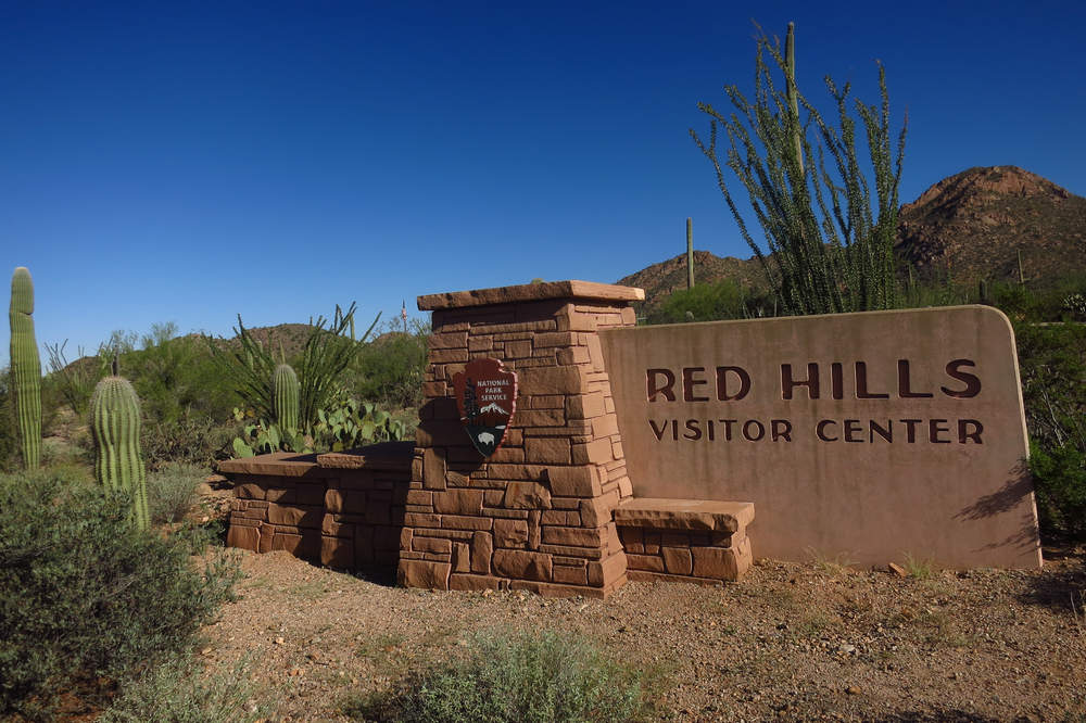
Once back to the parking area we decided to drive to the SNP visitors center which is just 2 miles down the road.
A quiet day here today but it will be a busy, busy place by December.
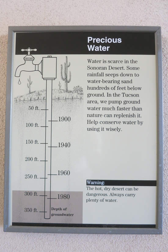
Where did all the water go? Cotton, alfalfa, mines, swimming pools, golf courses. The Tucson basin has two rivers running through it - the Rillito and the Santa Cruz. Up until the 1940s the water table in the basin was high enough for these two rivers to be watered year round. No longer. Only the rain and mountain snows water them now and that is ephemeral. Then they return to dry river beds.
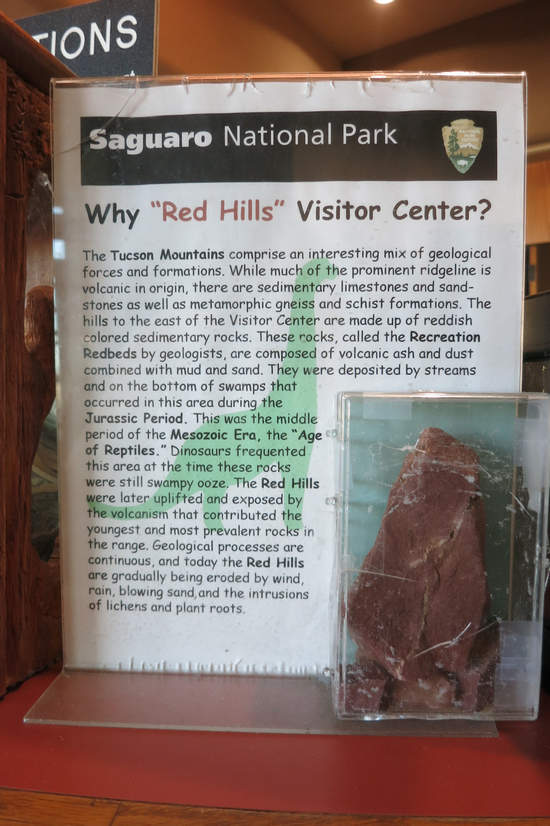
Why "Red Hills" Visitor Center?
The Tucson Mountains comprise an interesting mix of geological forces and formations. While much of the prominent ridgeline is volcanic in origin, there are sedimentary limestones and sand stones as well as metamorphic gneiss and schist formations The hills to the east of the Visitor Center are made up of reddish colored sedimentary rocks. These cocks, called the Recreation Red Beds by geologists, are composed of volcanic ash and dust combined with mud and sand. They were deposited by streams and on the bottom of swamps that occurred in this area during the Jurassic Period.
This was the middle period of the Mesozoic Era, the "Age of Reptiles." Dinosaurs frequented this area at the time these rocks were still swampy ooze. The Red Hills were later uplifted and exposed by the volcanism that contributed the youngest and most prevalent rocks in the range.
Geological processes are continuous, and today the Red Hills are gradually being eroded by wind, rain, blowing sand, and the intrusions of lichens and plant roots.
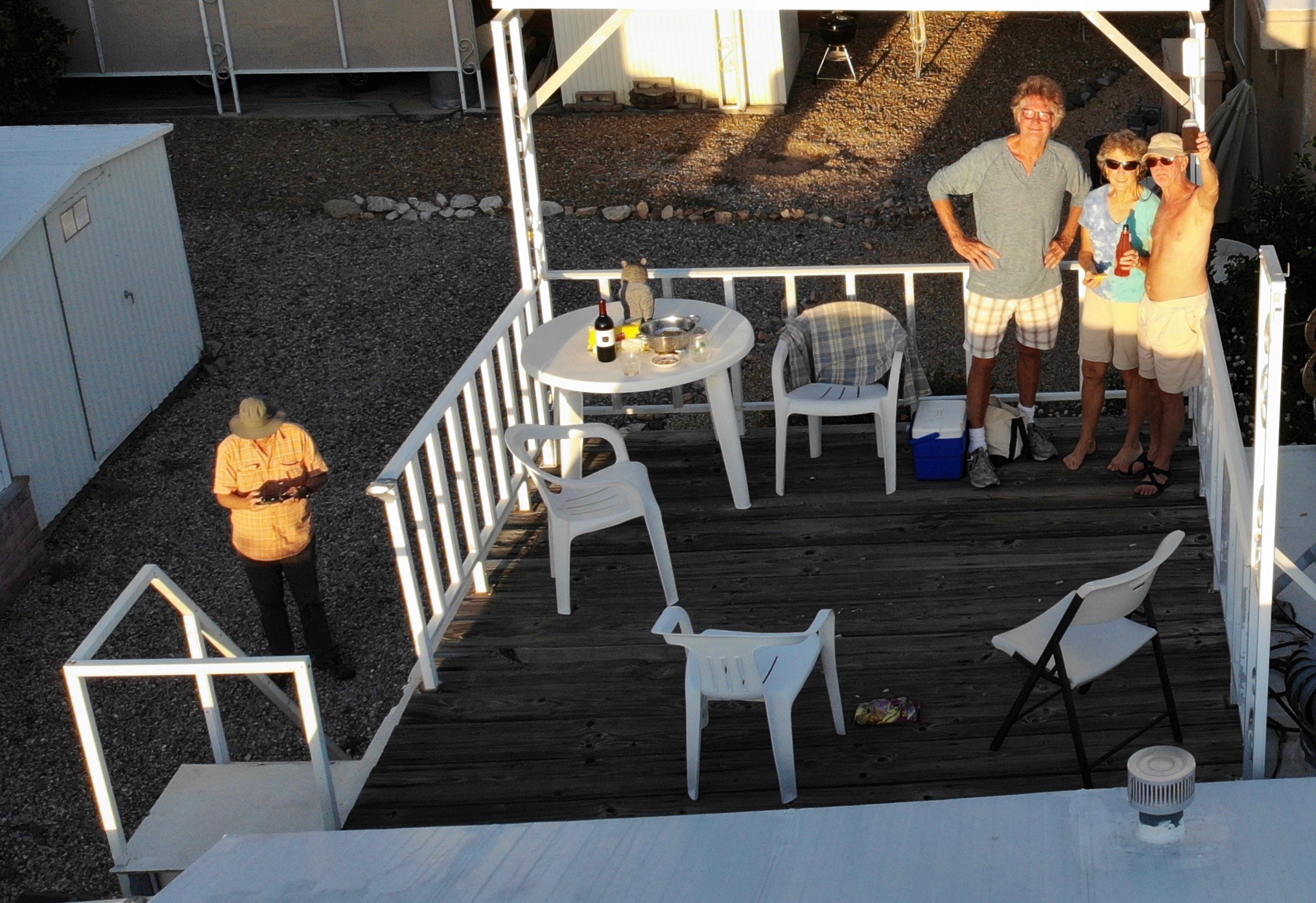
That evening we returned to Bob's Lofty Perch and were joined by another neighbor Franz. Bob snapped this pic with his drone camera which he can be seen operating far left.
Cheers!
Friday, October the 11th 2019
Another early start today at the Sarasota Trailhead which is within walking distance from the Rancho Relaxo. Today we would hike a nearly 6 mile loop through some gorgeous desert.
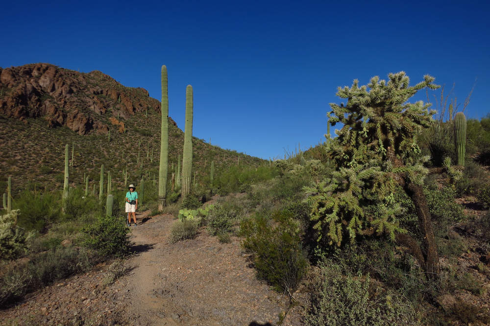
That is Little Cat mountain behind Betsy. In the foreground is a nice sized Chain fruit cholla Cylindropuntia fulgida)">(Cylindropuntia fulgida). The chain fruit along with the teddy bear and buck/stag horn cholla are collectively referred to as "Jumping Chollas. Why? The stem segments are loosely attached and even just a light touch will dislodge a segment and now you have what is known as a "hitch hiker" - a cholla chunk stuck to your clothing, footwear or skin. If it's the latter a special tool is need to remove the stem which will have hundreds of spines. The tool I and others use is an afro comb which can be easily inserted between the spine segment and the skin and then with a quick flick it will be removed. If you try this, be careful not to flick it onto anyone else. I have seen that happen. It usually gets a good laugh.
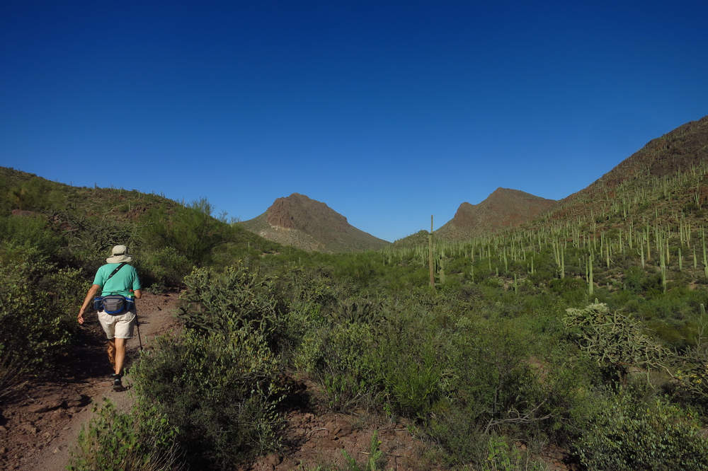
We are now on the Yetman trail behind First Ridge. In the distance is Golden Gate Mountain on the left and Bren's on the right. The Yetman trail wanders up the bajada to the saddle between them and then down the other side to a trail head parking area.
That's a big one! Barrel cactus have a propensity to lean to the south and many eventually fall over. I expect to one day see this one laying across this trail.
When we got back to the house we cleaned up and headed down into the basin and across town to do some shopping at Trader Joes.
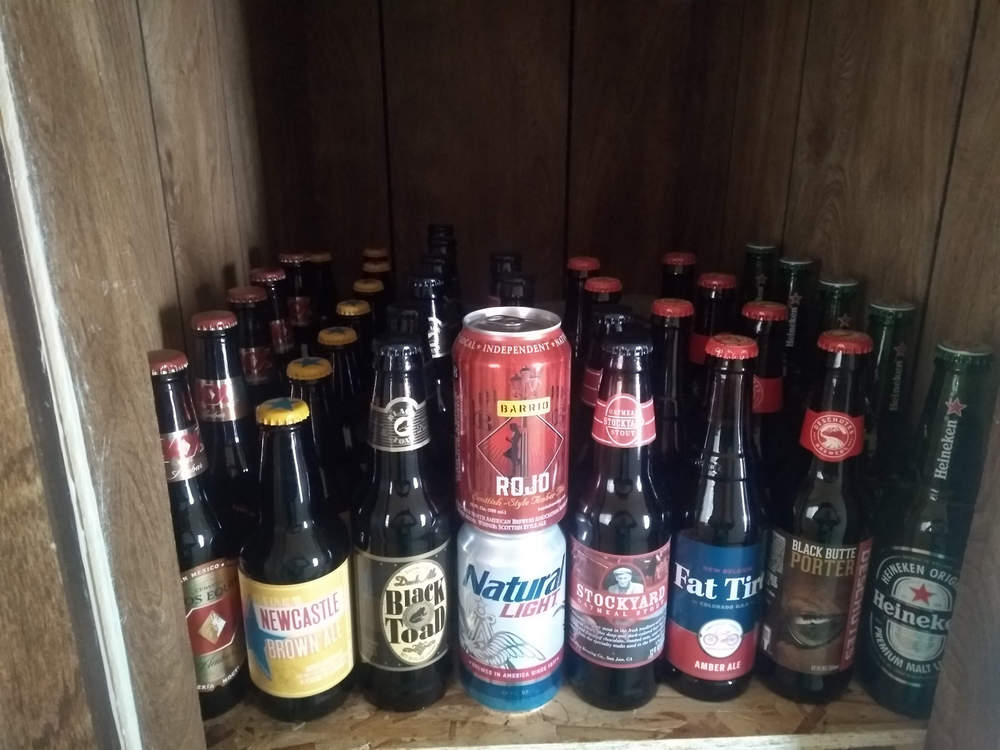
Our return from TJ's now provided Betsy with a full beer larder.
"Life is good".
We can't end this yet with out talking about the weather can we? I don't think so!
Stay tuned,
Mike and Betsy


