Mike Breiding's Epic Road Trips: August 2023
Colorado
Rocky Mountains - Roosevelt National Forest
Hiking to Blue Lake in the Indian Peaks Wilderness Area
Day 5: Thursday, August 17th 2023
Rocky Mountains: Roosevelt National Forest
Hiking to Blue Lake in the Indian Peaks Wilderness Area
This hike was marvelous! Alpine scenery, lush coniferous woods, rushing streams, pristine lakes, wild flowers and more. Priscilla sure knows how to pick 'em!
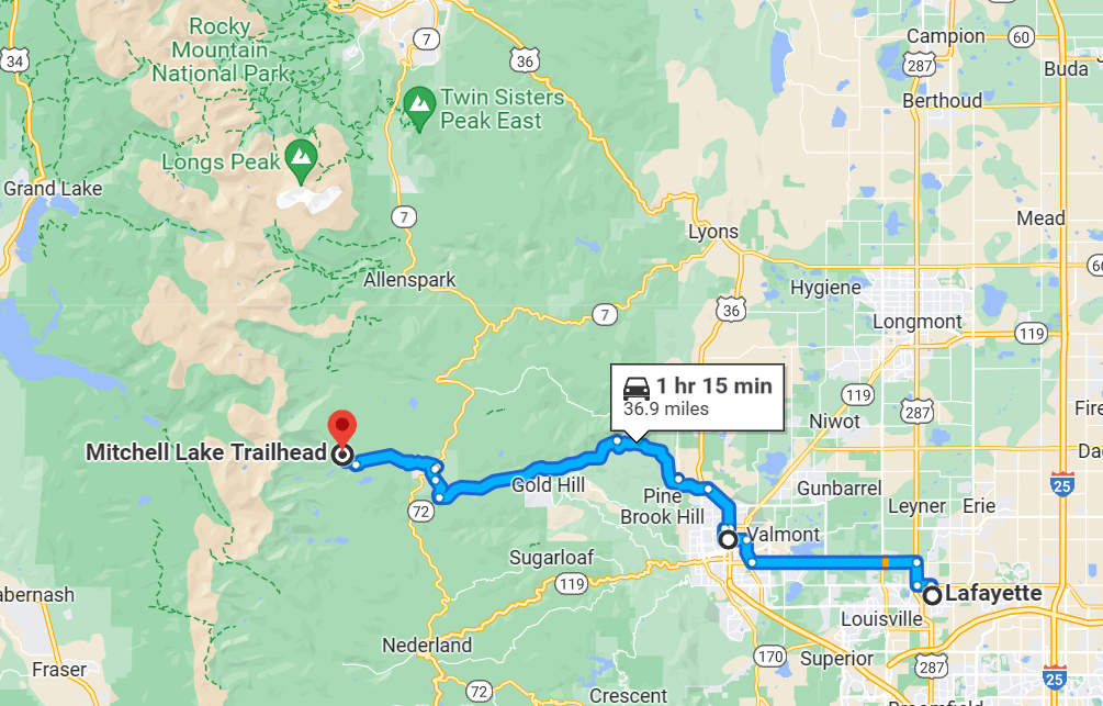
The route to the trailhead today would take a bit of driving. Our timed entry window was 5-8 am. This required a departure time from Lafayette at about 5:45. This got us to the trail head at about 7:00.
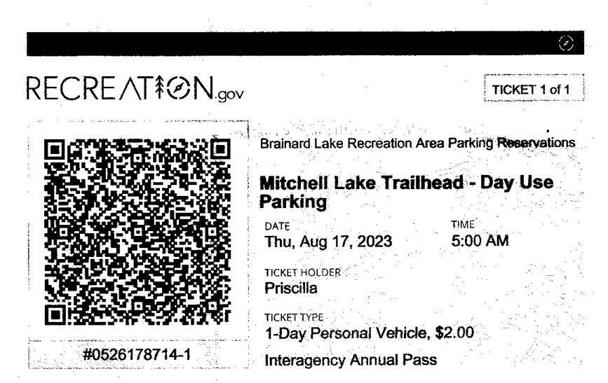
Ahhh... "Recreation.gov" which is operated by Booz Allen Hamilton. There has been a bit of controversy around this company's fees.
Booz Allen Hamilton, a multi-billion dollar government contractor and alleged spy agency, acquired a federal contract to operate Rec.gov in 2016. A recent lawsuit claims that the company is defrauding Americans of tens, or even hundreds of millions of dollars.
That’s right, Booz Allen is facing a lawsuit that alleges it is cluttered with unauthorized and possibly illegal "junk fees" that potentially generate hundreds of millions of dollars for Booz Allen Hamilton
.Source: parkjunkie.com
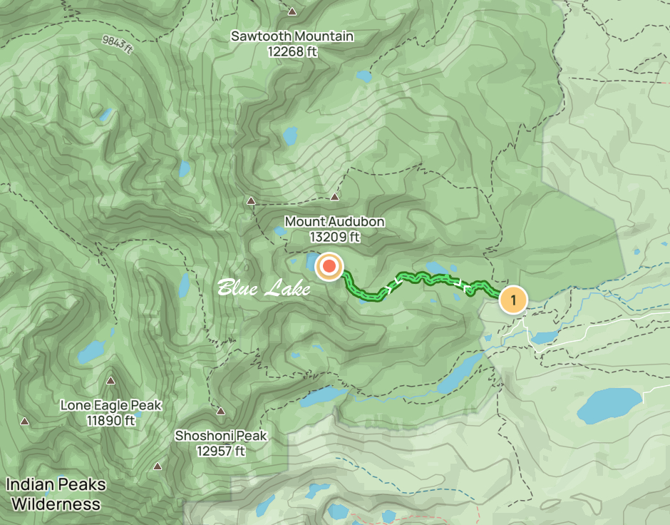
Today was the BIG one! Check out the elevations below.
Start EL: 10,505 Blue Lake EL: 11,341
Length: 5.51 mi
EL gain: 900 ft
Total time: 3:25
AllTrails Route for Blue Lake Hike
08/17/2023 07:11 AM -- Location: 40.083447° N, 105.581383° W

Here we are at the trail head: elevation 10,505'. And the temperature? 42 degrees! You wouldn't guess that from the gal with the dog who is wearing shorts. The woman standing next to her is her mother. Mom was there to hike the Mitchell Lake Trail. Daughter was there to run the Mount Audubon trail. The Audubon trail is about 7.5 miles out and back with 2700 feet of elevation gain. The summit of Mount Audubon is 13,200'. I imagine it was a bit frosty up there.
08/17/2023 07:11 AM -- Location: 40.083273° N, 105.581754° W

The hike to Mitchell Lake is about 2 miles out and back. We would be passing by there shortly.
08/17/2023 07:12 AM -- Location: 40.083273° N, 105.581754° W

The Indian Peaks Wilderness was designated as a protected wilderness area in 1978 by an act of Congress.
It covers 73,000+ acres and has over 50 lakes and 133 miles of trails and includes 7 peaks over 13,000'.
08/17/2023 07:18 AM -- Location: 40.083428° N, 105.582049° W

Off we go into the deep, dark woods.
08/17/2023 07:22 AM -- Location: 40.084062° N, 105.583933° W

Priscilla and Betsy take the lead. I usually fall behind taking photos and looking at plants so I took third position.
08/17/2023 07:23 AM -- Location: 40.084170° N, 105.584252° W

The forest floor was a lush, green carpet with many species of plants.
08/17/2023 07:35 AM -- Location: 40.085690° N, 105.588588° W

The land of swift waters. We have seen a number of beautiful streams like this on our hikes here in the Rocky Mount NP region.
08/17/2023 07:35 AM -- Location: 40.085481° N, 105.588720° W

Here they are - the intrepid hikers: Betsy, 73 and Priscilla, 76. The Robust Elderly!
As you can see all three of us were bundled up at the start of the hike but it warmed up surprisingly fast.
08/17/2023 07:51 AM -- Location of Mitchell Lake

Our first look at Mitchell Lake.
08/17/2023 07:52 AM -- Location: 40.086835° N, 105.594332° W

Moose are often spotted at Mitchell Lake and the surrounding lakes and meadows but they were absent today.
08/17/2023 08:02 AM -- Location: 40.086170° N, 105.597471° W

More beautiful swift water with loads of wild flowers along the banks.
08/17/2023 08:02 AM -- Location: 40.086153° N, 105.597553° W

08/17/2023 08:03 AM -- Location: 40.086144° N, 105.597707° W

We were to find out later this bridge was damaged by high water and snow.
08/17/2023 08:03 AM -- Location: 40.086130° N, 105.597680° W

The view from the bridge.
08/17/2023 08:05 AM -- Location: 40.086338° N, 105.598108° W

Our route took us through some amazing boulder fields.
08/17/2023 08:06 AM -- Location: 40.086569° N, 105.598286° W

08/17/2023 08:10 AM -- Location: 40.087093° N, 105.599323° W

At this elevation we saw only Subalpine fir.
08/17/2023 08:11 AM -- Location: 40.087041° N, 105.599582° W
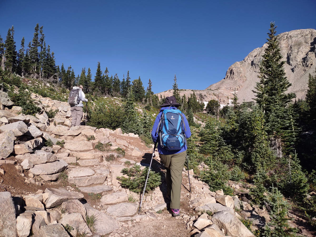
These steps helped with the steeper spots although I would often walk the side stones instead of the steps themselves.
08/17/2023 08:17 AM -- Location: 40.086497° N, 105.600394° W

We passed through a number of wetland areas all the while keeping a sharp eye out for moose.
08/17/2023 08:20 AM -- Location: 40.086878° N, 105.602150° W
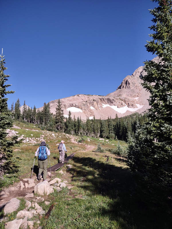
08/17/2023 08:21 AM -- Location: 40.086961° N, 105.602433° W

The trees are noticeably smaller and now there are more open areas with great views above tree line.
08/17/2023 08:22 AM -- Location: 40.087024° N, 105.602774° W

As we climbed we were rewarded with this fine view of Mitchell Lake.
08/17/2023 08:24 AM -- Location: 40.087018° N, 105.603286° W
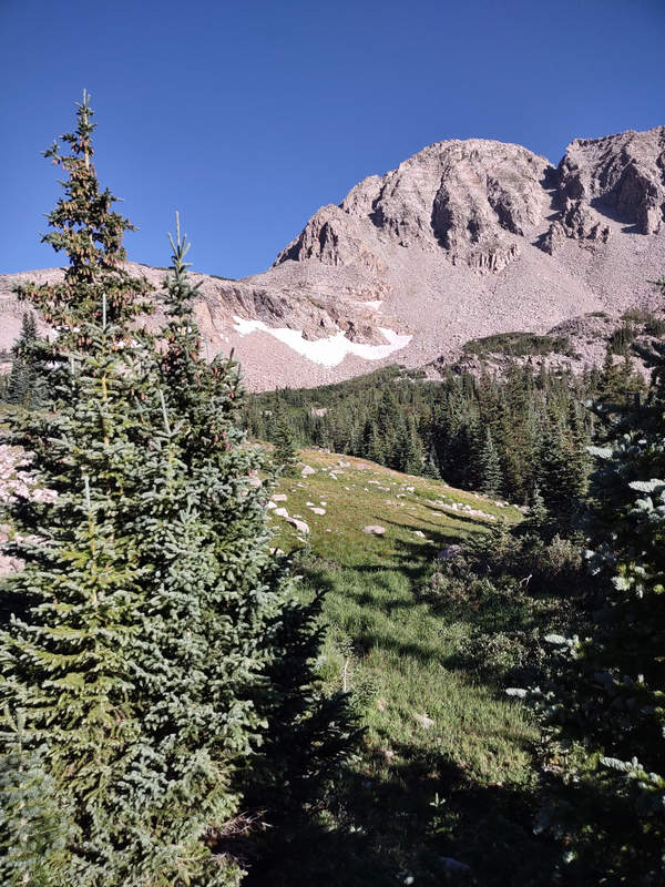
We had never before seen a landscape such as this.
08/17/2023 08:39 AM -- Location: 40.084211° N, 105.607234° W

Eureka! 4 - or is it 5 bull moose? We got lucky today. When we came back through here on the return trip we got another treat as well.
The pushpin shows where we were standing when looking down at the moose.
08/17/2023 08:40 AM -- Location: 40.084184° N, 105.607261° W

This is the view of the moose from the trail. The above photo was taken with the less than stellar telephoto on my phone.
08/17/2023 08:44 AM -- Location: 40.084071° N, 105.607467° W

A parting shot before we moved on.
08/17/2023 08:46 AM -- Location: 40.083783° N, 105.607786° W
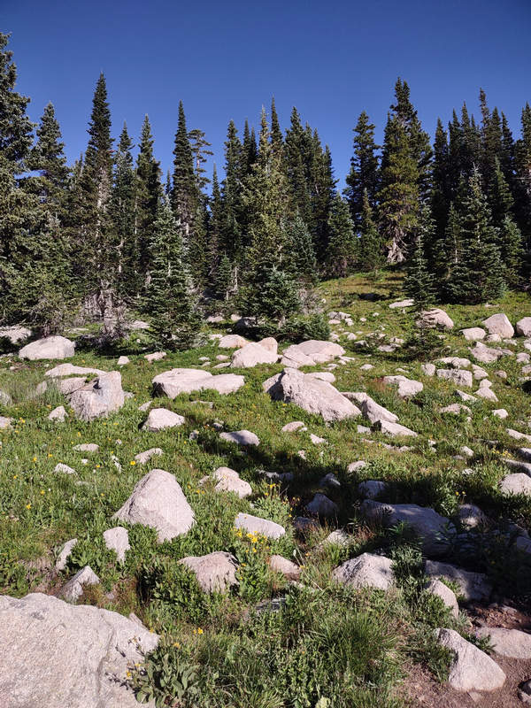
I would love to have a rock garden such as this.
08/17/2023 09:01 AM -- Location: 40.084616° N, 105.611946° W

As we gained elevation we saw an increasing number of species of wild flowers. Unfortunately using my phone camera did not give very satisfactory results.
08/17/2023 09:03 AM -- Location: 40.084611° N, 105.611983° W

Gorgeous.
08/17/2023 09:03 AM -- Location: 40.084656° N, 105.612093° W

08/17/2023 09:05 AM -- Location: 40.084816° N, 105.612468° W

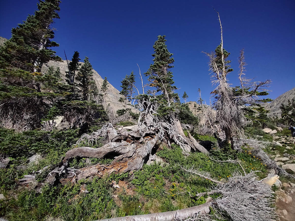
This gnarly old thing was barely hanging on.
08/17/2023 09:08 AM -- Location: 40.085283° N, 105.613104° W
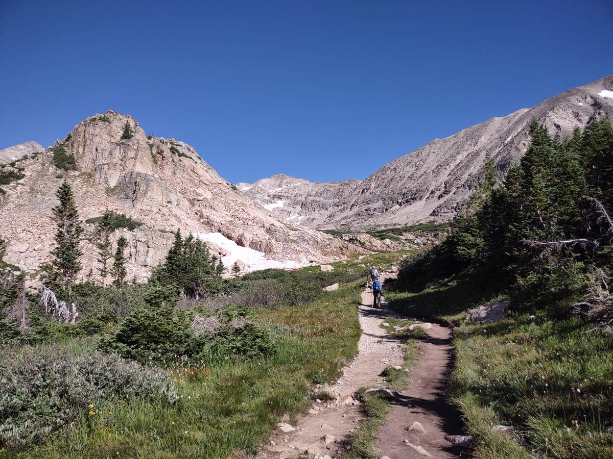
No, this not a roadway. This is a very popular trail and busy enough that in some places another track has been carved out by the 1000s of hikers.
08/17/2023 09:09 AM -- Location: 40.085431° N, 105.613203° W
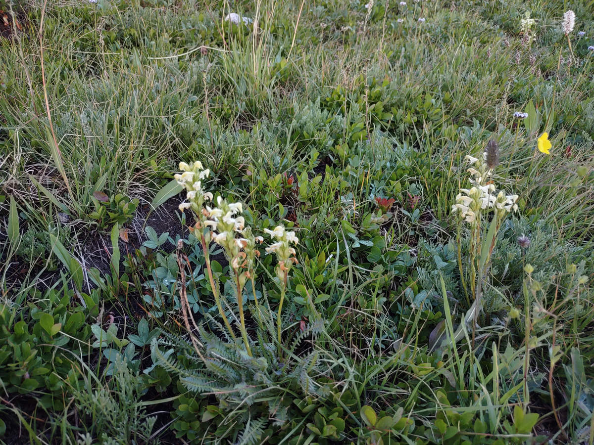
This looks like Wood Betony. It grows in West Virginia and Colorado is at the edge of its range.
08/17/2023 09:14 AM -- Location: 40.086467° N, 105.613655° W

A small snow melt stream makes it way down to a lush meadow area.
08/17/2023 09:15 AM -- Location: 40.086835° N, 105.613811° W

Bluebells! I remember how surprised we were when we saw these in the Snowy Mountain area of Wyoming. And here they are again. But, which species?
08/17/2023 09:15 AM -- Location: 40.086837° N, 105.613808° W
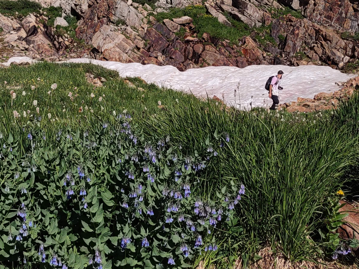
The fella in the background was getting ammunition to snow ball his girl friend.
08/17/2023 09:16 AM -- Location: 40.086912° N, 105.613843° W
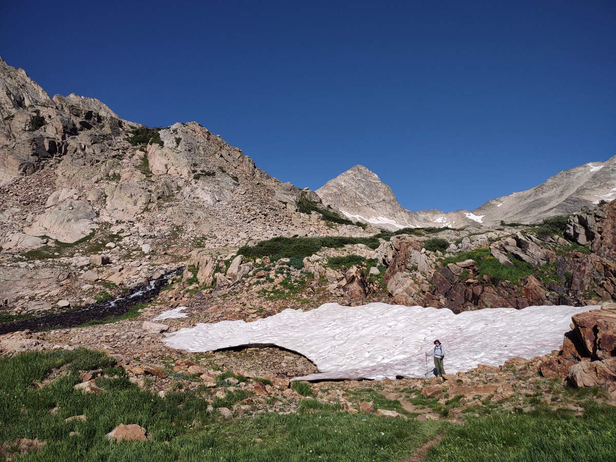
It's a Snow Bunting!
08/17/2023 09:17 AM -- Location: 40.086956° N, 105.613833° W
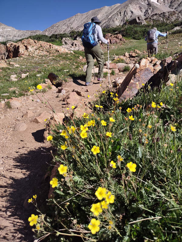
Up and up we went and then through a labyrinthine boulder area where it was hard to discern the official trail.
08/17/2023 09:18 AM -- Location: 40.087210° N, 105.614118° W

Still more beauties of the alpine meadow.
08/17/2023 09:22 AM -- Location: 40.087457° N, 105.614989° W

This is Mountain Marsh Marigold (Caltha leptosepala). We have Marsh Marigold (Caltha palustris) in West Virginia but it has deep yellow flowers and always grows in wet areas - edges of swamps and even wet ditches.
08/17/2023 09:26 AM -- Location: 40.087654° N, 105.615600° W
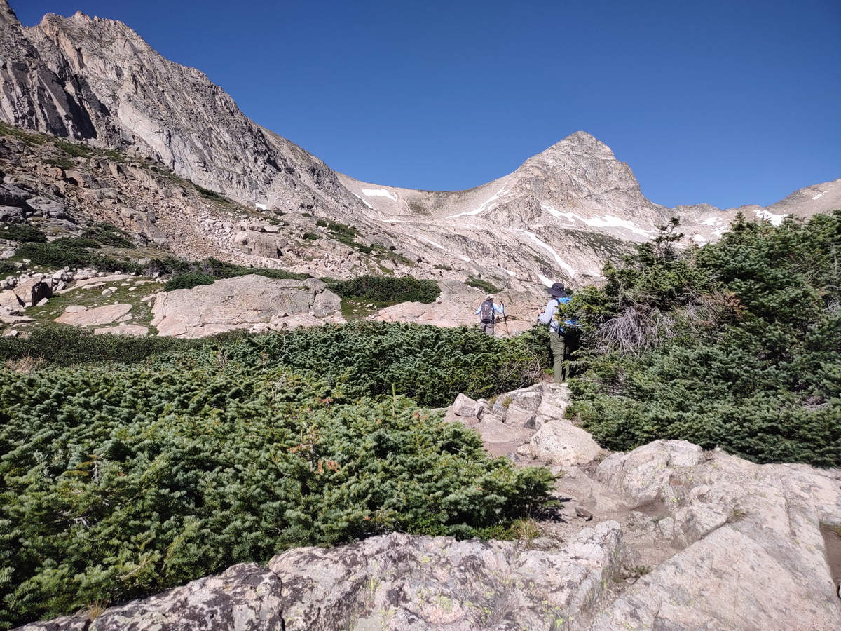
The plants you see here may look like some sort of creeping ground cover but they are not. They are Subalpine fir that have been stunted by the less than hospitable growing conditions present at this altitude. These dwarfed trees could easily be 50 years old.
08/17/2023 09:29 AM -- Location: 40.087966° N, 105.616122° W

Betsy and I continued to pick our way through the boulder field following Priscilla's lead.
08/17/2023 09:31 AM -- Location: 40.088157° N, 105.616258° W

We crested a small rise and ...
08/17/2023 09:34 AM -- Location: 40.088465° N, 105.617202° W
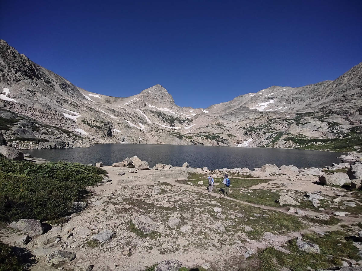
Blue Lake! Notice there are no people in the photo. This is the reward for our early start. That did not last but it was mostly quiet and peaceful. That is until some ass hole with an off leash dog showed up and let it run all over the place. That was the only negative for the entire day. Big surprise...
08/17/2023 09:35 AM -- Location of Blue Lake
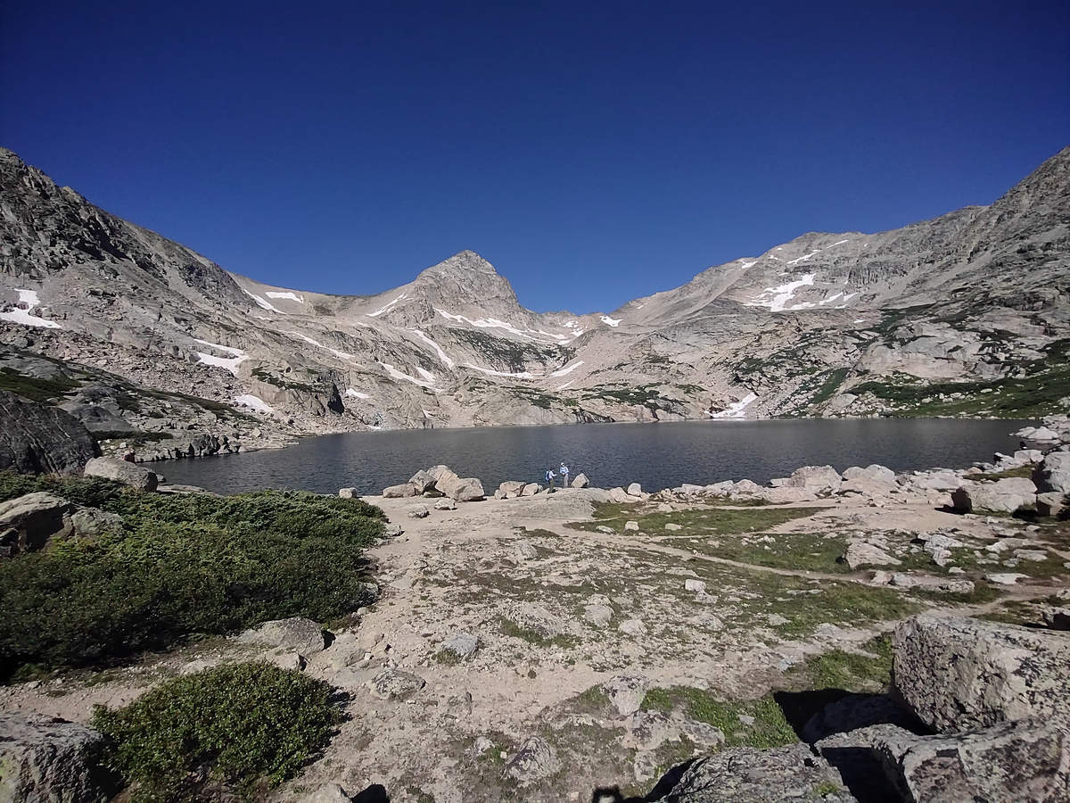
While Betsy and Priscilla picked out a lunch spot I took a few more snaps.
08/17/2023 09:36 AM -- Location: 40.088411° N, 105.617254° W
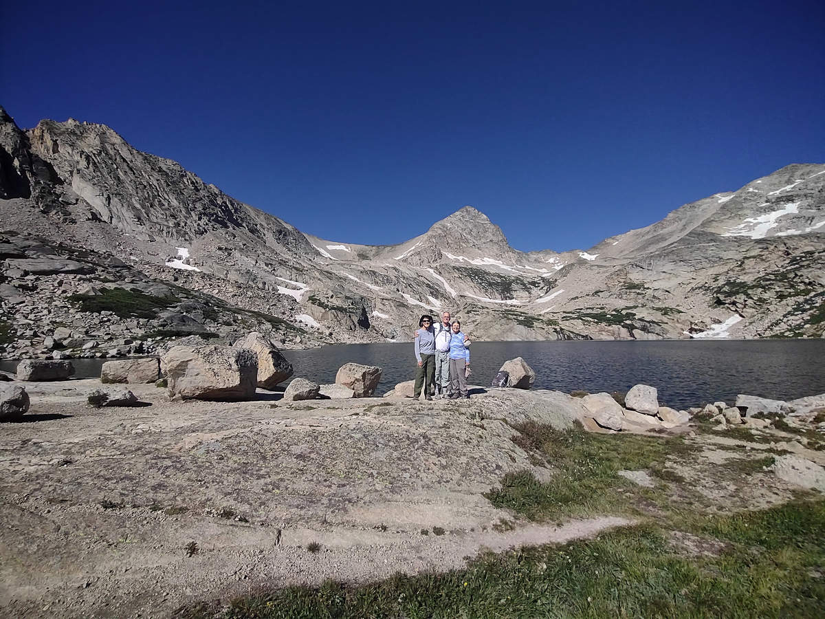
I asked another hiker to take this shot. I realized earlier we had not one shot of the three of us.
08/17/2023 09:36 AM -- Location: 40.088432° N, 105.617369° W

Happy Hikers all.
08/17/2023 09:50 AM -- Location: 40.088447° N, 105.617438° W
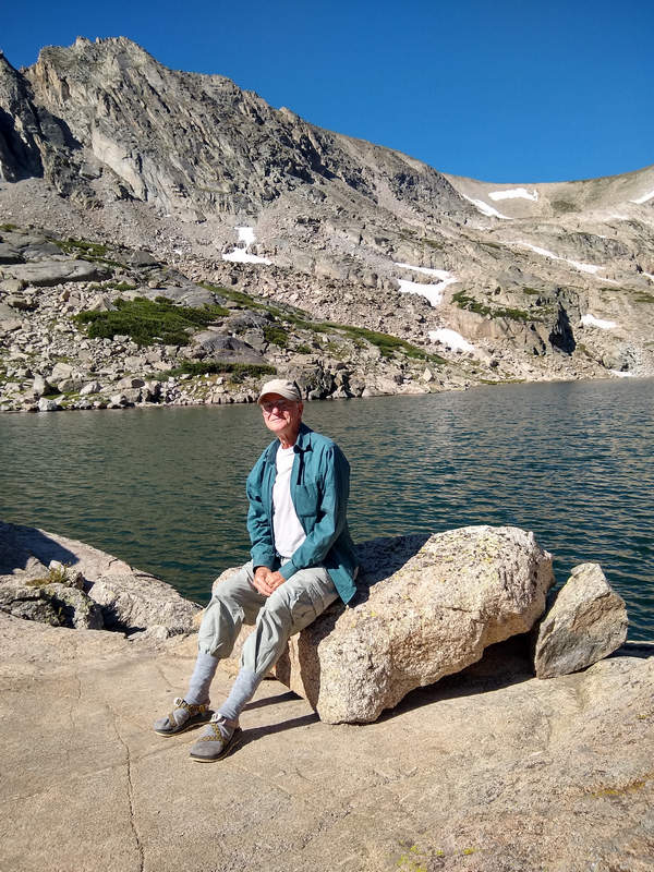
Me - by Priscilla
We had a leisurely lunch and then did an about face and started the hike back down. It was hard to leave such a beautiful spot.
08/17/2023 10:44 AM -- Location: 40.083800° N, 105.607662° W

BONUS! We we got back to the moose spot to find a bull elk had joined them. I could see some velvet on that huge rack. Amazing.
08/17/2023 11:42 AM -- Location: 40.085703° N, 105.588556° W
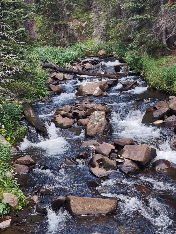
The lighting had change and I could not resist taking a few more snaps of the sparkily water.
08/17/2023 12:01 AM -- Location: 40.083439° N, 105.581355° W
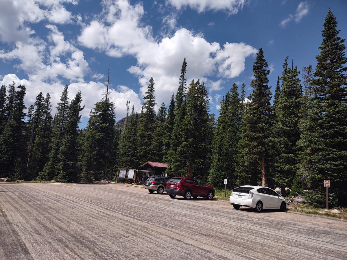
We arrived back at the parking shortly after noon and we were soon on our way back to civilization. Boo-hoo...
Thank you Betsy and Priscilla for a most memorable hike.
See you next time...
Mike and Betsy
