Day 2: Saturday - June 12th
Saturday proved to be another warm and humid day. When we departed Fort Wayne at 9:45 it was already 75 degrees and quite damp. We said our good-byes to Art, and headed down the road. After gassing up the P and R Express ($2.69/gal) on Maysville Road we then got on I-469 and headed north to I-69.
Our first stop was to be the Michigan Welcome Center just over the line between Exits 3 and 10. We were able to find some material of use but were told there were no State Park brochures available and they could only be seen on the web. The only State Park info available is a "Go!" packet stuffed with commercial junk and SP locator map with a summary of services available. Just about worthless - to us at least.
Additionally, there are no State Forest maps available either. One must rely on commercial maps or county maps.
We continued on up I-69 and exited at Ramp 12 which put us on US 12 east towards Albion. We dubbed this stretch of the road "Antique Alley" as we passed one shop after another.
Eventually we entered back into more farm country: field after field of winter wheat, corn and soybeans. We saw a number of old decrepit brick farm houses. Some looked occupied, others abandoned.
We continued on US 12 east to the small town of Allen and then turned north onto SR 49. More farm country dotted with patches of woods.
We then came to Litchfield and as we drove through town I notice a "Trail Crossing" sign and then a city park. I pulled off, turned around and parked. Armed with camera and bug juice we started down a small path towards a bridge which crossed a stream.
Click on the photos below for a larger image.
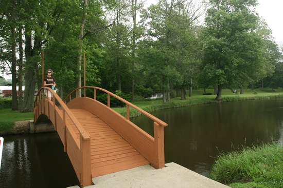
This bridge in the City park at Litchfield crossed the St Joseph River and then over to a pic-nic area and play ground. Seen to the right in the background is the spillway of a small dam which may have powered a mill at one time.
The population of Litchfield in 1901 was 645.
The oldest thriving business in Litchfield is the "Flouring" mill built in 1918, then called Stock's Mill. At the peak of operation, 500 barrels of flour were milled. In 1934, electricity replaced the water power and Daisy Donut Flour was mixed. On February 17, 1937, it was sold to Litchfield Dairy and they ground and mixed various kinds of farm feed. Reed Soper took over the Litchfield Grain Company in 1957, and since 1976 it has been owned by Frank Walters. They still sell feed and buy grain from area farmers for use in mixing feeds and for storage and shipping. New elevators and dryers have been added through the years, and it remains quite an industry.Source: cityoflitchfield.org
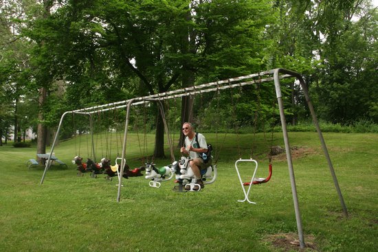
Wheeeee...!!!
We continued on up SR 49 to 60 east at Homer then onto SR 99 towards Albion.
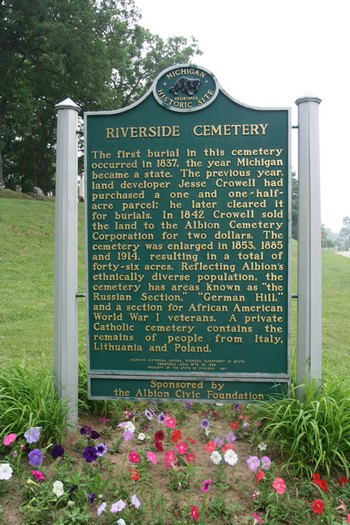
As we approached Albion we noticed a sprawling old cemetery on a rise above the right side of the road. To the left the North Branch of the Kalamazoo River meandered.
I pulled into the Cemetery and at the top of the hill near the office parked next to a pic-nic table. This seemed the perfect spot to lunch on leftover steak and salad from the previous nights dinner. It was quite tasty!
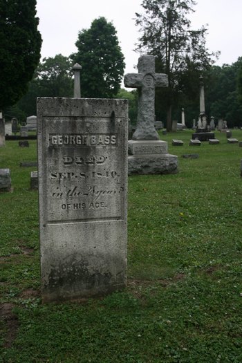
"George Bass: DIED Sep 8 1840 in the 28 year of his life"
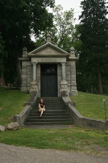
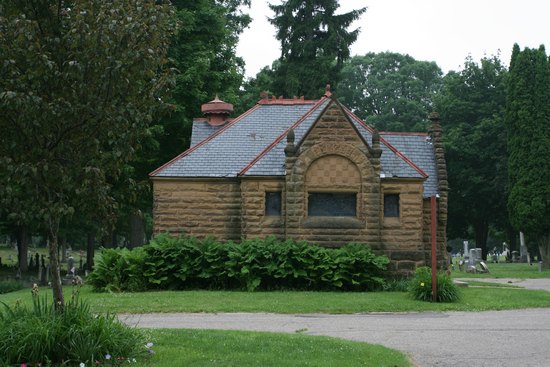
This mausoleum was at the entrance to the Cemetery.
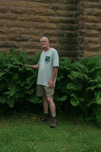
This robust Interrupted Fern (Osmunda claytoniana) made a nice foundation planting. (Photo by Winky)
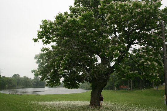
At the base of the bluff we spotted this fabulous old Catalpa Tree. The Catalpa is one of my favorites. We had a big old tree next to the house where we lived in Oglebay Park. As kids we used to play with the "stogies" and enjoy the flowers which covered the ground like snow.
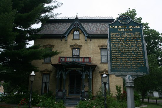
When we got into Albion proper we could not help but notice this amazing house. I turned around and parked on a side street to have a better look. It was then I found out it was the former residence of a hardware magnate and was now the Gardner House Museum.
Gardner House was built ca. 1875 by an Albion hardware merchant, Augustus P. Gardner, who came to Michigan from New York in 1837 as a young man. Augustus Gardner married Samantha Pickins of nearby Marengo, Michigan in 1841. They had one child who died in infancy. After Samantha's death in 1893, Augustus Gardner occupied the house until his own death in 1905. Prior to his death, Gardner deeded the property to his adopted daughter Belle Gardner Gale who sold it to Henry Wochholz in 1909. The Wochholz Family sold the house to the City of Albion in 1963. At one time, the City entertained an idea of making it into a library annex.
Albion Historical Society purchased Gardner House in May, 1966. Long neglected, the Victorian brick structure required extensive repairs, in addition to new wiring, plumbing, and the installation of gas heat.
In May of 1968, the Museum was opened to the public and, since then, has attracted thousands of visitors, both local and out-of-town. An award of Merit was presented to the Society by the American Association for State and Local History in 1969. In 1971, Gardner House Museum was officially placed on the National Register of Historic Places.
Source: Albion Historical Society
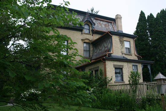
A look at the back entrance.
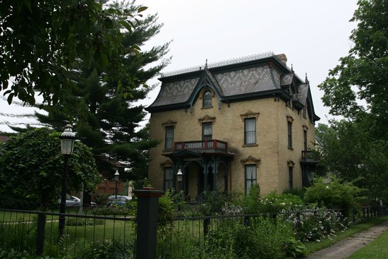
The view from South Superior St.
We left Albion and continued up SR 99 to Eaton Rapids where we picked up SR 50 heading north-west. We crossed I-69 and 19 miles later, near the town of Greshem, the Sube rolled over to 200k! A few miles before this happened I had pulled off to tell Betsy she needed to start driving and she would figure out why when she got into the drivers seat. We both had fun watching the ODO roll over - the first car we have ever put 200k on.
Shortly we intersected SR 43, jogged west and then got on to SR 66 north. 66 would take us most of the rest of the way to our destination.
We passed through Ionia and there was dramatic change in the landscape as it suddenly turned quite hilly. We crossed the Grand River and the land began to lay level again.
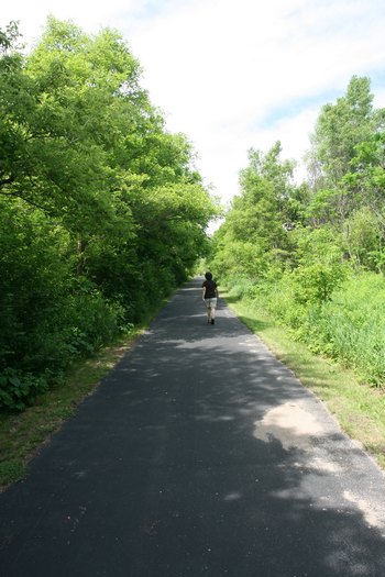
When we got to Stanton we decided to stop at the Micky D's to use the facilities. As luck would have it the Fred Meijer Heartland Rail-Trail ran directly adjacent to the parking lot. We decided this was a good place to "stretch our legs" as Betsy calls it and we went on a short walk down the trail.
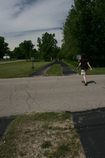
I had never seen this trail crossing design before. Great way to impress upon trail users there is a right and left lane. "Stay right, Pass left".
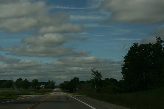
By now the cloud cover was beginning to lift and the humidity and temperature drop.
(Shot through the windshield.)
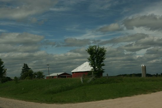
An old round barn near
Remus.
(Shot through the windshield.)
We continued on up 66, crossed SR 115 and then hung a right onto SR 66 which would take us east into Harrison, our final destination for Day 2.
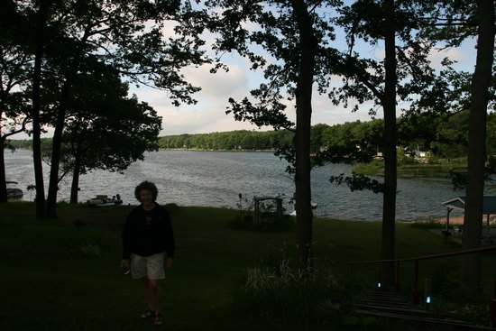
At just about 5:30 we found our way to the Lakeside Motel, checked in and then walked down to the lakeshore for Happy Hour.
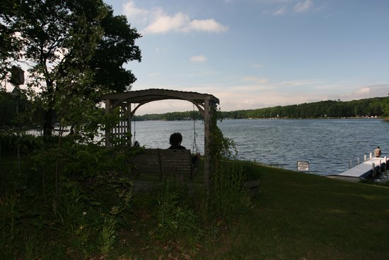
Betsy - doing what she does best.
After a bit of relaxing we decided to drive down to Wilson State Park and see if there were any trails. There were not so we wandered around the beach and campground for a while. We then used my new cell phone to order a pizza, found a place for beer and ice, picked up the pizza and ate it while siting in our breezy spot above the lake.
We had an early night - the norm for us.
Trip summary: 8 hours 267 mi