Sunday: 08 September 2013
The 535 mile drive from Morgantown to Tawas Point State Park took us about 10 hours and we arrived around 4:00 pm. The drive was uneventful and all Interstate driving except the last few miles. One notable thing we saw - many miles of dead White Ash (Fraxinus americana), the mortality no doubt the result of the Emerald ash borer.
The emerald ash borer (Agrilus planipennis or Agrilus marcopoli and EAB) is a green beetle native to Asia.
In North America the borer is an invasive species, highly destructive to ash trees in its introduced range. The damage of this insect rivals that of Chestnut blight and Dutch Elm Disease.
To put its damage in perspective, the number of chestnuts killed by the Chestnut blight was around 3.5 billion chestnut trees while there are 3.5 billion ash trees in Ohio alone.Source: WikiPedia
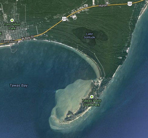
Here is a look at our home for the next two nights. You can see now why Tawas Point is somtimes referred to as the "Cape Cod of Michigan".
This area used to be a major logging area with many milllions of logs shipped out. Now it is primarily a beach resort.
Click on the photos below for a larger image.

The folks in the background are walking on the pathway that runs into East Tawas. This means some of the 1000s of people who stay in Tawas are able to ride bikes to the beach rather than driving and fighting traffic.

Our camp site. What is not seen here are the 100 plus giant RVs we shared the campground with. But we got lucky, the sites on either side of us were empty and remained that way during our stay.
Most of the campers there were like Betsy and me - old and retired. This meant it was pretty quiet - except for all the dogs people brought along with them.

Every campground has its scavengers. We had Ring-billed gulls and Black squirrels.

The black squirrel is a melanistic subgroup of the eastern grey squirrel. They are common in the Midwestern United States, Ontario, Quebec, parts of the Northeastern United States and Britain.
Source: WikiPedia

We still had a few hours of daylight left and decided to check out the trails and light house.
The Coast Guard announced plans to excess the station in 1996, and ownership of the buildings was transferred to the Michigan Department of Natural Resources in 2001. Deciding that it wished to restore the station to its turn of the twentieth century appearance, in May 2002, the DNR took the controversial step of demolishing the 1922 Assistant's dwelling. Over the remainder of the year, over 3 million dollars were spent at the site, including such improvements as the burial of elevated power lines, the installation of a new red-painted steel roof on the dwelling and the installation of flood lights to illuminate the tower at night.
Source: Copyright by Terry Pepper

The dune areas along Lake Huron were showing their end of season color.

We did not see any of the Caspian Terns. But that may be because neither of us had binoculars. We big dummys!

Thre are several interdunal ponds and wetlands on Tawas. Until now, I had never heard the word "interdunal".

The clouds, bright sun and wonderful breeze made for a nice early eveing walk.

A gentle, informative reminder: "Keep the f*ck off the dunes, you idiot!"

I doubt most folks in West Virginia think of Michigan as a beach destination. But with 3,126 miles of Great Lakes shoreline (more fresh water coastline than any other state) there are plenty of beaches to choose from.

Just 5 minutes away by foot were 100s of other campers, but we had the place to ourselves.

Gorgeous!

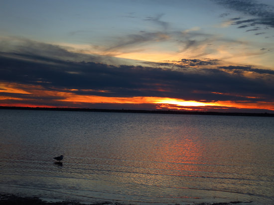
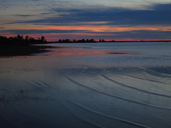
As this series of photos will show, we had a nice sunset from Campers Beach on the bay.

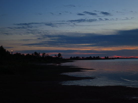
On the left you can just make out the lighthouse.
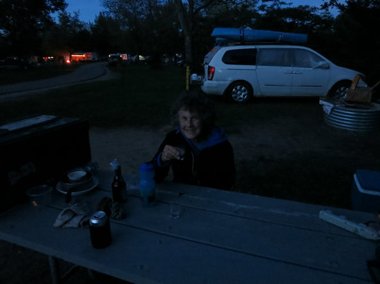
For a night cap we brought the Orujo along with us which we had brought back from Spain.
The shot glasses we used were the very same ones we took on the first Epic Road Trip - our Honeymoon back in 1982.
So ends our first day on the Michigan Road Trip.
Monday: 09 September 2013
Our first morning here at Tawas Point State Park. While Betsy caught up on her sleep I made coffee and and walked down to the lake shore to take in the sunrise. I was at the beach around 6:15 and all was quiet and peaceful.
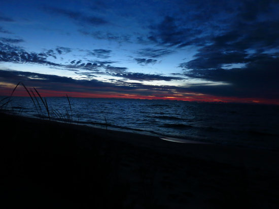
As the sky slowly brighted I walked up the beach towards a small rocky point I could see in the distance.
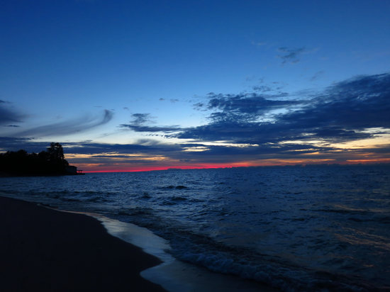
Here you can see the point to which I walked. There was a house with a porch jutting out onto the rubble. I scrambled over the rubble and up onto the porch. I saw no signs of life. Either the place was empty or everyone was still sound asleep.
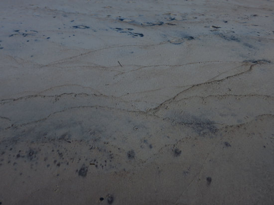
The lapping waves made these patterns in the sand. They reminded me of the outlines of distant mountain ranges.
I wandered back to camp where Betsy was up and having some coffee. After a bit we both walked back to the beach for a stroll.
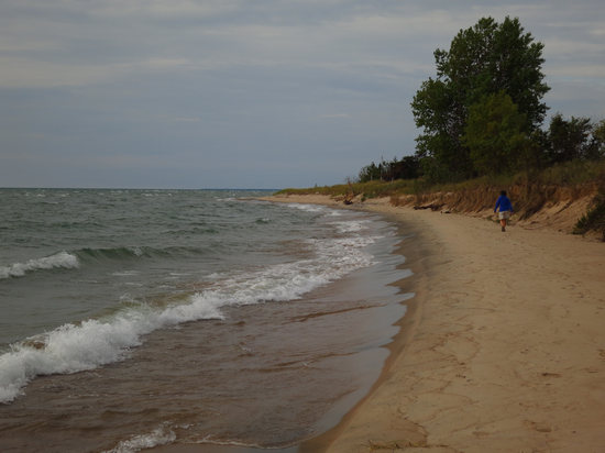
What a nice way to start the day.
The lapping waves are constantly reshaping the shoreline.
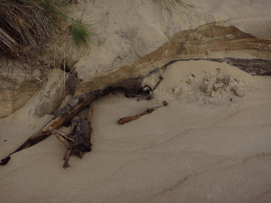
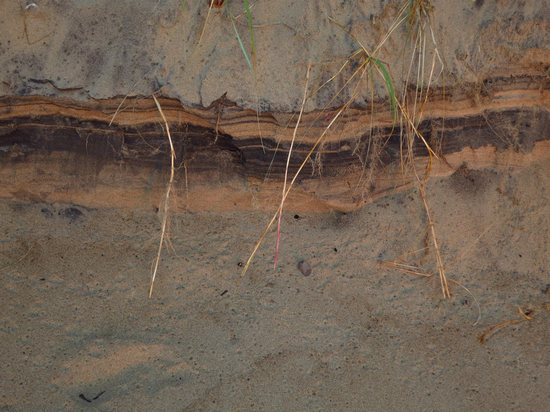
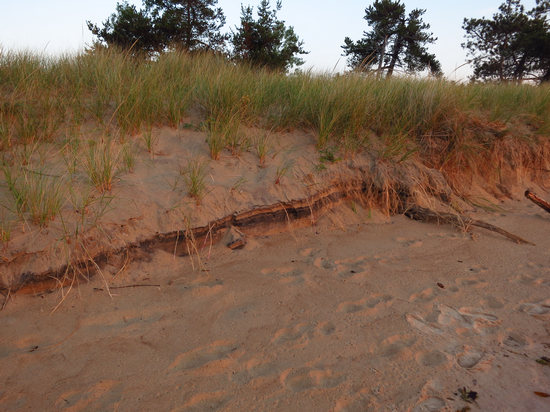
Betsy and I both wondered what the dark bands in the dunes were. Can you tell us?
Note the stolons (runners) from the beach grass hanging over the edge.
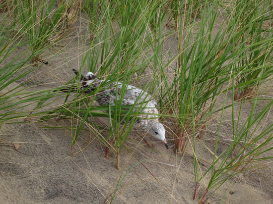
This immature Ring-bill gull was shadowing us as we walked along the beach.
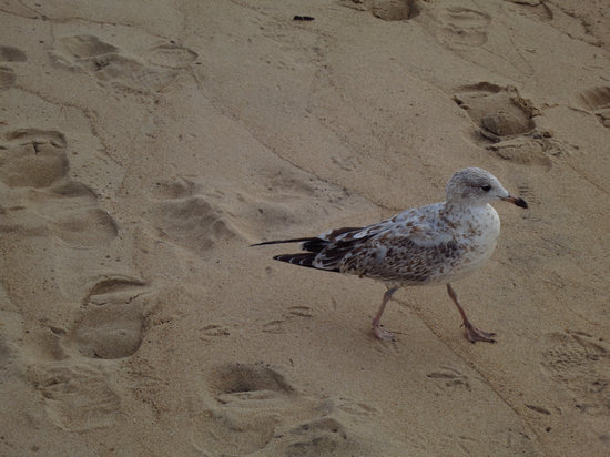
Betsy then shadowed the gull - at a quick pace. No matter how fast Betsy chased the gull it never attempted to fly off and we wondered why.
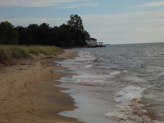
Here is the house on the point I had been to earlier. It must be real interesting being here on a blustery day in January.
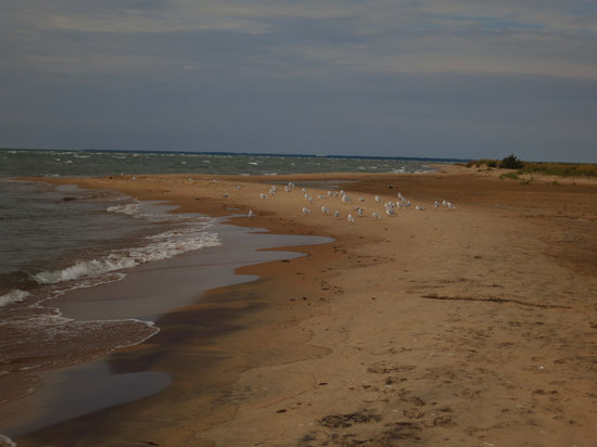
The Breakfast Club. The gulls were congregated here both of the mornings we came to the beach.
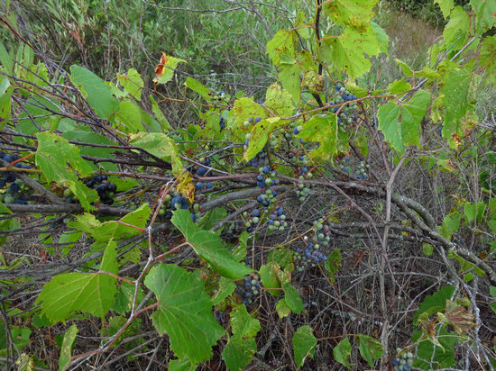
We decided to walk back via the Sandy Hook Nature Trail. All of the grape vines were loaded with fruit.
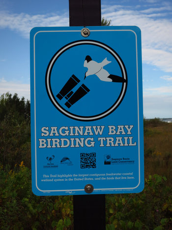
The Saginaw Bay Birding Trail follows along with the Sandy Hook Nature Trail.
The bottom of the sign states:
"This trail highlights the largest contiguous freshwater coastal wetland system in the United States, and the birds that live here."
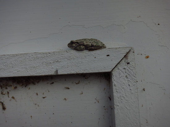
When we arrived at the Light House we noticed these Tree Frogs on the door to the oil house.
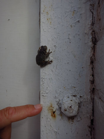
Cute little buggers!
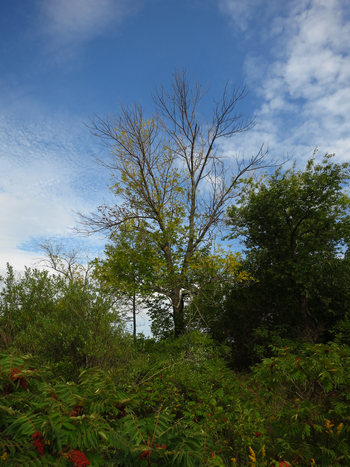
As in Ohio, White ash mortality is evident everywhere. Unfortunately the primary shade tree for all 193 sites in this campground is White Ash. All the trees we saw showed some sign of Emerald ash borer damage.
A few replacement trees had been planted but most were scrawny and sickly looking and some were dead.
So it won't be long before the campground is exposed to blazing summer sun with practically no shade whatsoever.
Later on that day we drove north to the Au Sable River for some hiking and a look at the Lumberman's Monument.
But more on that later. Right now, the sun is shining and it is time to head out in search of a quiet trail to hike.
Until then...
Monday: 09 September 2013
Part 3: Lumberman's Monument, Au Sable River and checking out Oscoda.
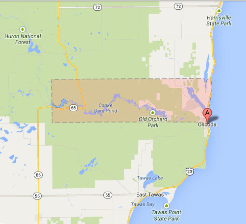
For our day trip we decided to check out the Au Sable River area to the west of Oscoda. This is in the Huron National Forest.
The Huron-Manistee National Forests are two national forests combined in 1945 for administration purposes and which comprise 978,906 acres (3,960 km) of public lands, including 5,786 acres (23 km) of wetlands, extending across the northern lower peninsula of Michigan. The Huron-Manistee National Forests provide recreation opportunities for visitors, habitat for fish and wildlife, and resources for local industry. The headquarters for the forests is in Cadillac, Michigan.
Source: WikiPedia
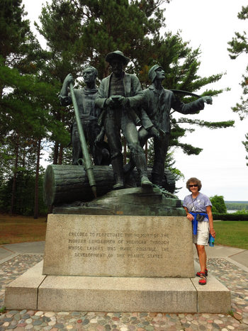
When we reached our destination we were greeted by these three fellows.
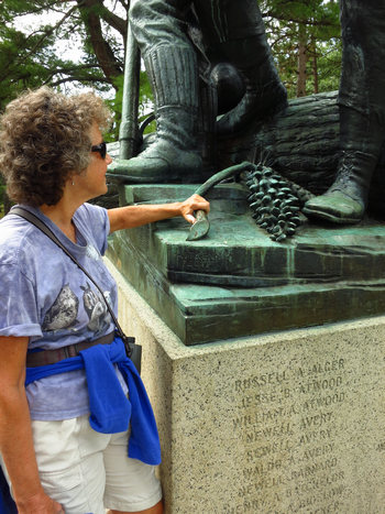
This detail of a pine cone shows the skill of the sculptor Robert Aitken.
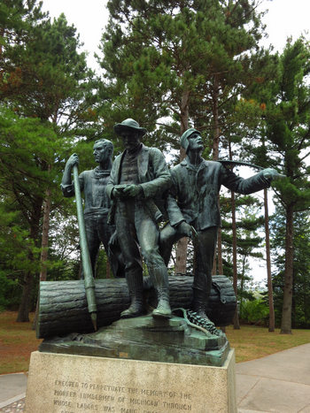
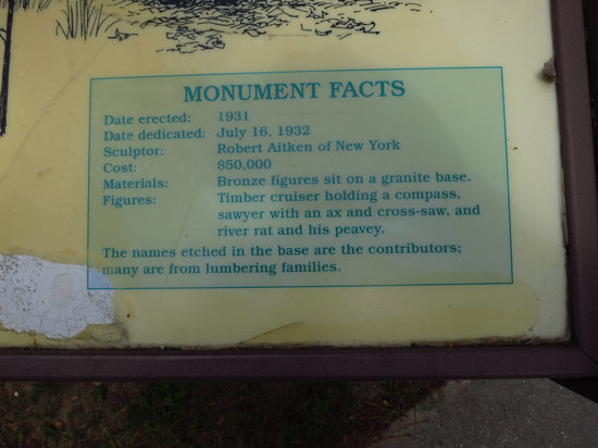
The monument was erected in 1931. It cost the then princely sum of $50,000 which was borne by the descendants of the lumbermen who worked here.
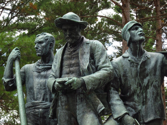
The fellow in the middle is a timber cruiser and he holds a compass in his hands.
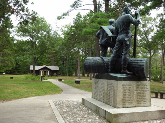
Here one timber cutter has a two man saw slung over one shoulder and the other holds a log pike.
In the background is the CCC built aid station used to support fire fighters in the area.
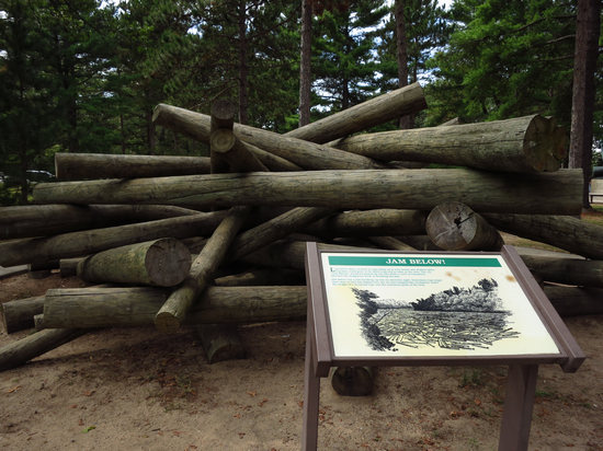
Near the monument was this replica of a log jam. It was made from pinned together pressure treated utility poles.
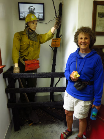
Inside the aid station there was a display with this fire fighter, a video and some period fire fighting equipment.
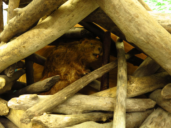
There was also a natural history display set up with a bird nest display and this beaver diorama. Cute.
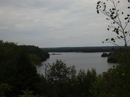
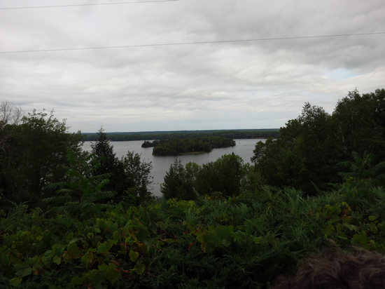
Just past the monument is the Au Sable River Overlook. The light was about as bad as it gets for taking snaps and this does nothing to show the beauty of this lake or "flooding" as they are sometimes referred to up here.
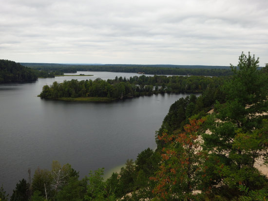
In the distance is Horseshoe Island although it looks like the shoreline from here.
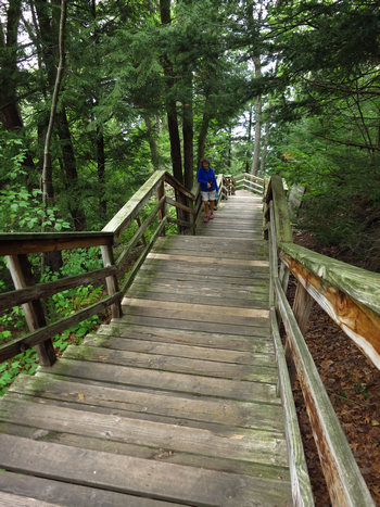
We then walked down the 272 steps to the edge of the Au Sable, to take a look at the Wanigan. It is a replica of the floating cook shacks that followed the river drives.
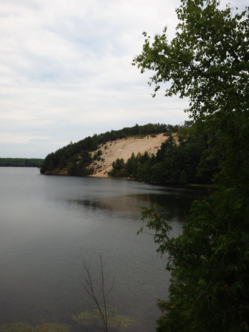
One can almost see the timber sliding down the sandy slope and hitting the water with a thunderous splash.
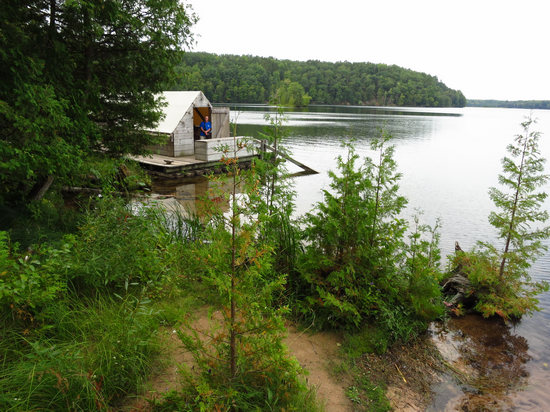
Here is a look at one end of the Wanigan.
(Photo by Betsy)
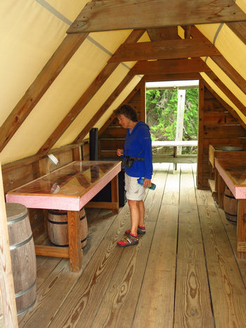
The inside had a display set up to show some of the meals the loggers ate.
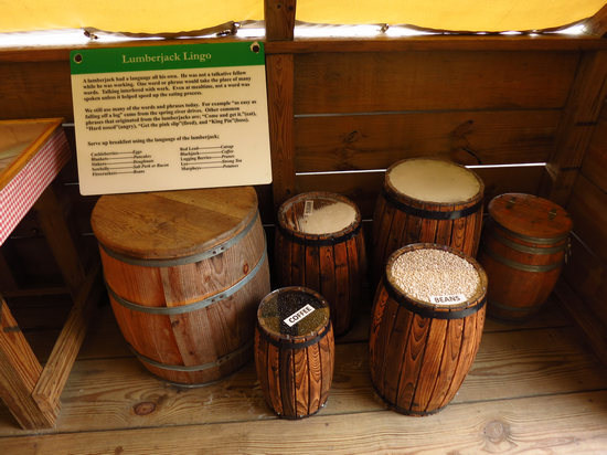
Beans, coffee, salt, sugar, flour, lard. The cooks must have used vast quantities to feed the constantly hungry loggers.
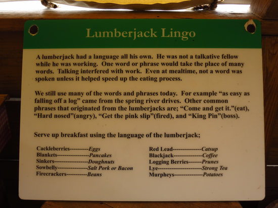
One of the displays also referred to prunes as "regulators". Above they are called "Logging berries".
Apparently they would eat 5 to 7 meals a day and work as long as 16 hours a day. Most were worn out and unable to work by the time they reached their 30s.
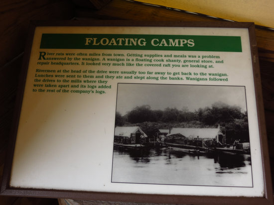
Click the photo to better read the caption.
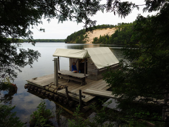
Here sits my own personal chef. Although she seldom serves up any "regulators".
Volumes could be written about the timber industry in Michigan and elsewhere. And they have been. My beloved West Virginia did not escape the axes and saws of the loggers.
And "Tumult on the Mountains: Lumbering in West Virginia 1770-1920" by Roy Clarkson recounts in photos and words the lumbering hay-day in West Virginia.
If you are interested in this topic this book will be like a stop at the candy shop for you. The historic photos are absolutely amazing to look at.

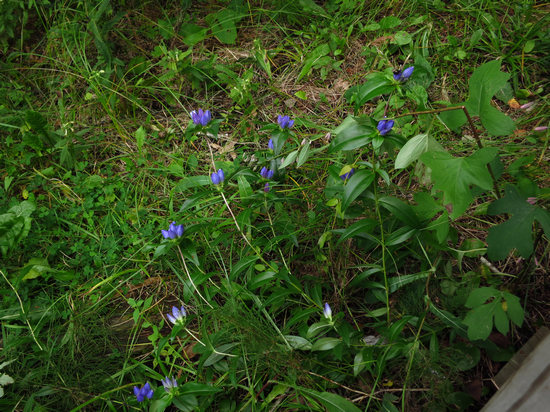
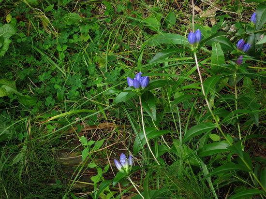
Along the shoreline we spotted these Bottle Gentian (Gentiana andrewsii).
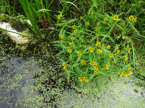
These looked familiar, but I could not put a name to them. If you can, let me know.
We also saw a few ferns around the limestone spring area at the base of the hill near the Wanigan: Dwarf Horsetail (Equisetum scirpoides ), Meadow Horsetail (Equisetum pratense), and Bulblet Bladder Fern (Cystopteris bulbifera). It was good to see my old friends of the North Woods.
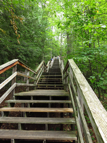
Now we get to go up the 272 steps!
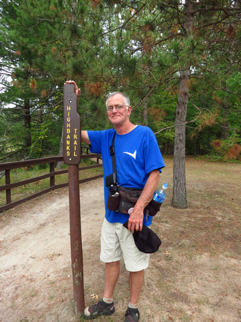
We decided to take a little walk in the woods.
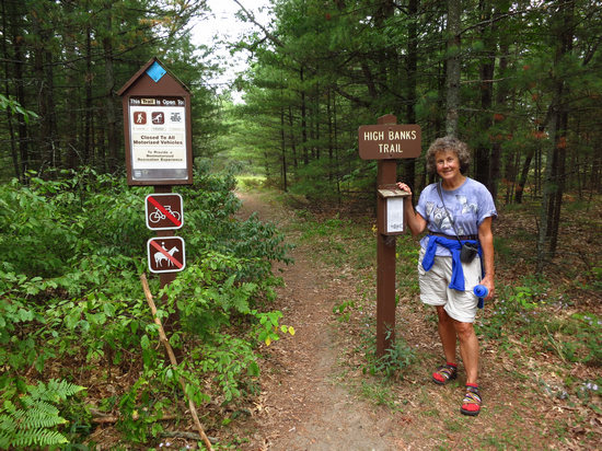
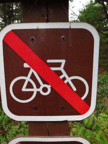
YIPPEE! One of my favorite trail signs!
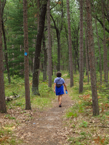
The trail meandered through open Red Pine woods.
As you can see, the trail follows a major power line. Not too scenic.
This is another look at Horseshoe Island.
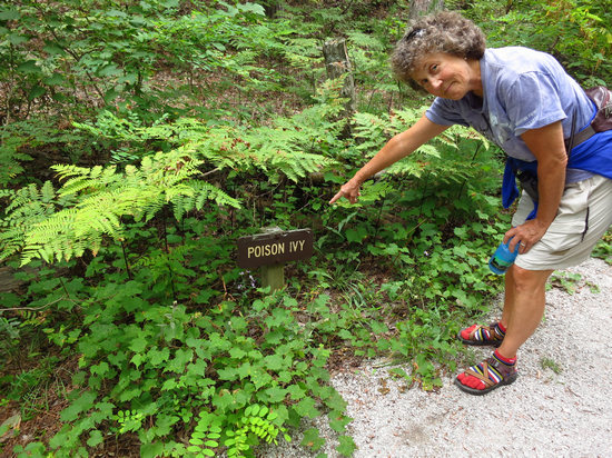
We saw several of these helpful signs. "Leaves of three? Let it be!"
Check out Betsy's toe socks. Stylish!
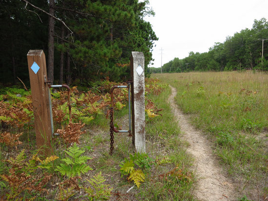
Can you explain this? I can't. It looks like a gate. But its placement makes no sense.
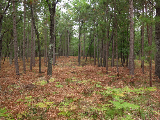
This carpet of Bracken Fern reminded us of the thousands of acres of this fern we saw while in Scotland.
I am assuming these plants were frost damaged and thus the brown color.
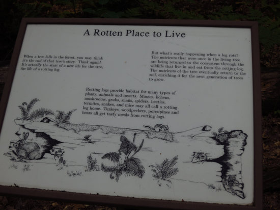
There were several interpretive signs along the "Forest Discovery Trail".
Click to read.
After our walk we pulled out the maps and decided on the Scenic Route: the River Road Scenic Byway.
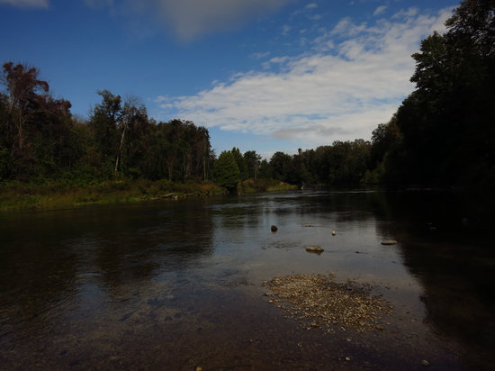
Along the way we saw a sign for a DNR scenic pullout. There were two sets of steps going down to the river so we decided to take a look.
Just then Betsy spotted a Bald Eagle leisurely flying down the river and then disappearing around the bend. Nice...
Self portrait.
Betsy tested the water but decided it was a bit too chilly for a dip.
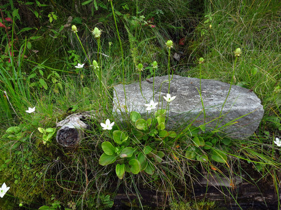
The slope from the river going back up to the road was one big seep with all kinds of interesting plants growing on it.
Although this plant looked familiar, I could not put a name to it.
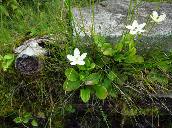
The flower looks like an Anemone, but the leaves just don't fit.
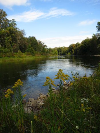
What a lovely spot. And how different from the flooded section of river we just visited.
It was not long before we reached the shores of Lake Huron and the small town of Ocsoda. When we arrived at the intersection of the River Road and US 23, I saw trees and water ahead so I went straight and we ended up in a very nice city park with a very nice beach.
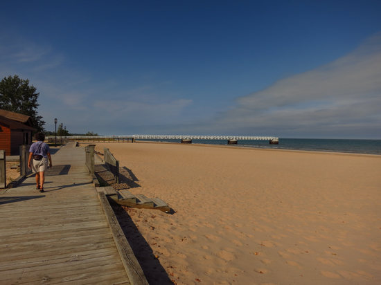
There are benches along its length and at the view point.
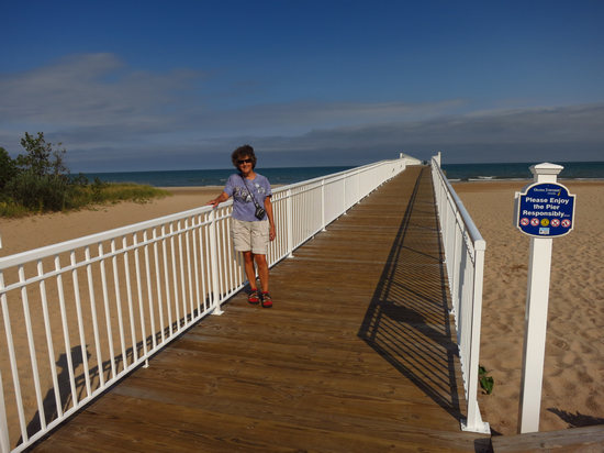
Very nice.
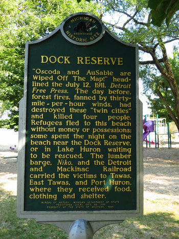
On our way back to the car we passed this historic marker. Pretty grim.
We had been thinking about smoked fish ever since we arrived up here and now decided it was the time to indulge and get some. We stopped and asked a local where a good place to get some was and she directed us to "Wellman's just before you cross the bridge". She did not steer us wrong and we walked out with a nice hunk of smoked lake trout.
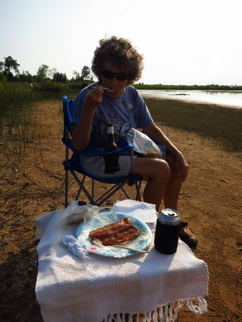
"Déjà Vu All Over Again"
We first had this wonderful delicacy in 2010 at Natalie State Forest Campground. It made a great happy hour treat then, so why not again?
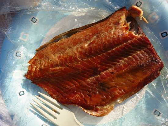
Delish!!
The fish was filling so we opted for a salad only dinner which hit the spot. Later on we decided to take a stroll down to the shores of Lake Huron and enjoy the quiet we knew we would find there.
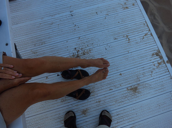
We sat on the bench near the water's edge watching the late evening changes in the light and the clouds.
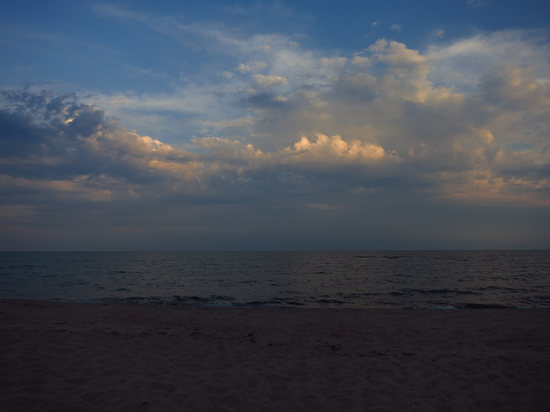
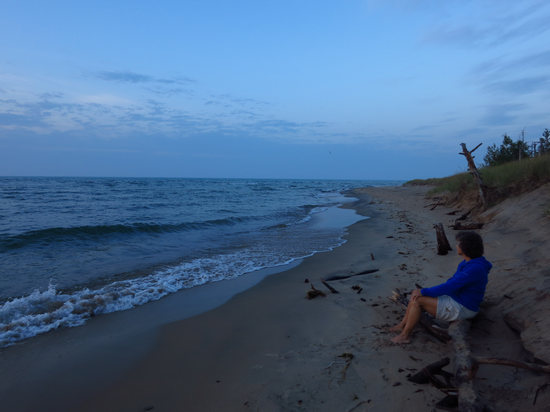
We walked down the beach and settled in to enjoy another beautiful sunset.
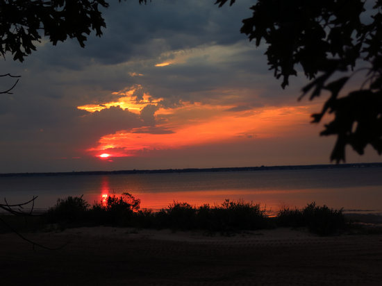
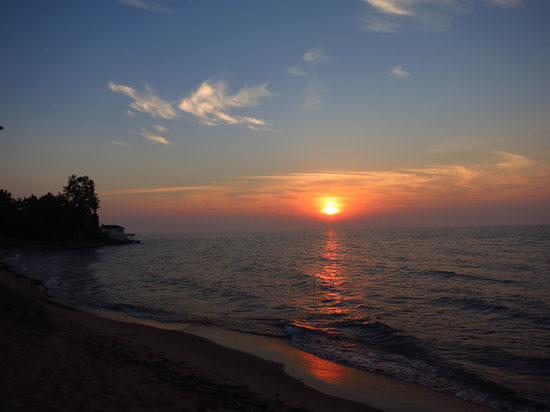
This would be our last evening here at Tawas. Tomorrow we would continue on north.
Where to? This we did not know and we liked that idea.
Until then...