Mike Breiding's Epic Road Trips 2015
Winter Number Four in SE Arizona
Relocation Updates, Photo Sampler of Tucson area hikes and our new Winter Retreat
March 2015
Greetings!
Soon our 4th winter in southern Arizona will be coming to a close and we will be starting the drive home to good old West Virginny.
When last we spoke in late November we had just bought a house in Wheeling, sold our house in Morgantown, and then made a hurried/frantic move to Wheeling. By "move" I mean we simply dropped all our belongings and closed the house for the Winter. Now with the house in Morgantown sold and our Wheeling house closed up for the winter we were both "homeless".
But that did not last thanks to the kindness of friends in Morgantown. Betsy and I both stayed at Laura and Rich's place while spending a few days of wrapping things up at Hornbeck Haven. Then Betsy was off to stay with Holly and I was on my way to Arizona.
Three days of non stop driving got me there on November 26th.
Betsy stayed in the Morgantown area for about another two weeks, then drove to Fort Wayne to spend Christmas with her family. I arrived in Tucson on November 26th and Betsy arrived on December 27th.
Since my arrival in November I had been busy house hunting and on Jan 2nd we signed the papers for our new 1979 single wide trailer which sits here in Tucson Estates (TE).
Now we had traded our house in the woods of nearly 30 years for a 100 year old bungalow in Wheeling WV and a 1979 trailer in Tucson.
Big changes...
Click on the photos below for a larger image.
Soon Betsy and I will be leaving Arizona and heading back to our place in Wheeling to start the task of unpacking who knows how many boxes and putting all the furniture in all the places where Betsy tells me to move it. Then we will get settled in. But, come late October when the air turns chilly and dank and the skies turn gloomy and gray we will then be off for our 5th winter in Arizona. This time it will not be a rental - it will be our own place here in Tucson Estates.
Our teeny-tiny single wide at 5472 West Circle Z street is complete with a nice front porch and our very own view of Big Cat Mountain.
Soon you will be seeing a lot of Big Cat Mt. But first let's take a look at how Tucson Estates (TE) is situated.

The "front gate" to our new neighborhood.
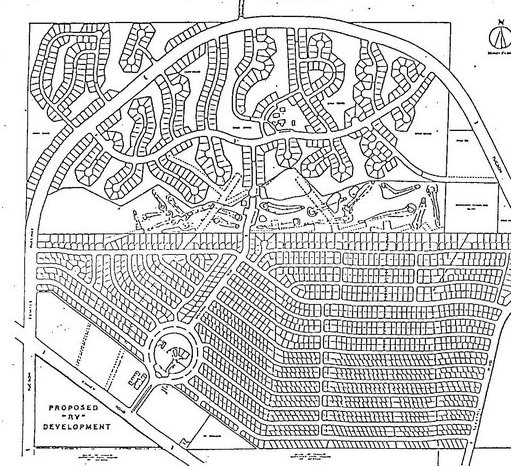
Like all planned communities TE first started out on paper. What you see here is about 1660 platted lots. The circle in the lower left is the "recreation circle" where all the goodies were to be: pools, tennis courts, gym, shuffleboard courts and the area's largest hot tub.
At the halfway point on this map is the golf course, on the north side is what is known as "The Foothills" or "TE2". I call it the high rent district.
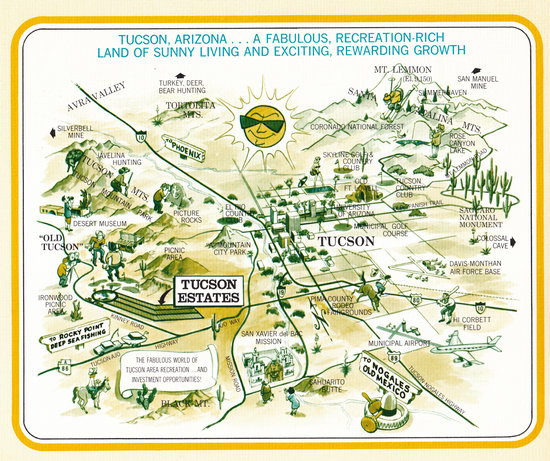
With this kind of development you cannot assume "if you build it they will come". Ya gotta promote it.
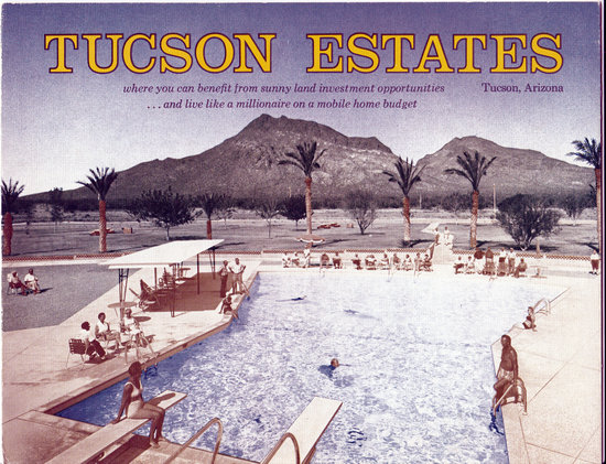
Calling all retirees! The land of warmth and sunshine beckons you! Plan now for the golden years.
Ahhh... the good life!
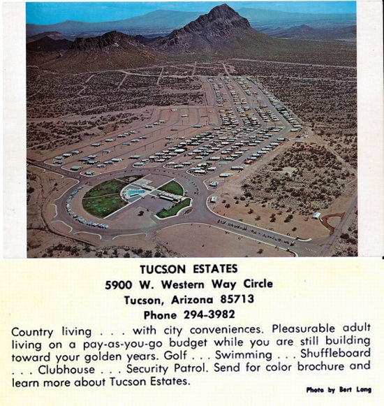
This postcard and the two graphics above were scanned from original documents produced in the 60s. I had the good fortune to meet a fella here who has been collecting TE historical info and he loaned me some of the material for scanning.
This aerial shot of TE was taken from the north side of Big Cat and Little Cat Mt. Big Cat is on the left.
Photographer unknown.
I took this shot of TE from the John Krein trail which runs atop First Ridge. We can walk to the trail head for this and many other trails. In the distance is Baboquivari Peak and the observatory at Kitt Peak in the Quinlan Mountains.
A birds-eye view of TE courtesy of Google maps.
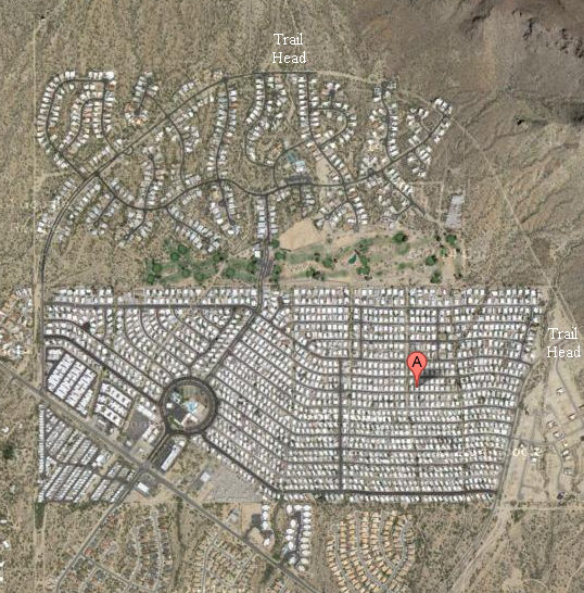
Here sits our sunny winter retreat.
A very typical day on West Circle Z - sunshine and Big Cat Mountain. But the Kitty Cat has many moods.
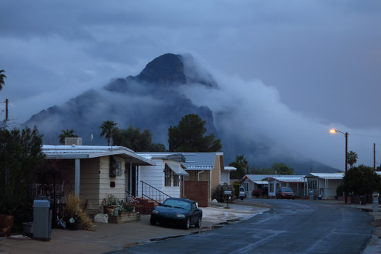
We have had a few storms move in and they can turn the mountain moody and sometimes nearly invisible.
At other times the Big Cat puts on its finest in morning attire.
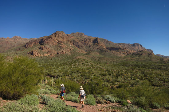
Of course the Kitty Cats are not the only mountains in our 'hood. Here Betsy takes in the beauty of the Sonoran desert with Golden Gate and Bren's mountains in the distance. They are both within hiking distance of our place on W Circle Z.
A very different view of Golden Gate and Bren's mountains as seen from atop Krein Summit on First Ridge.
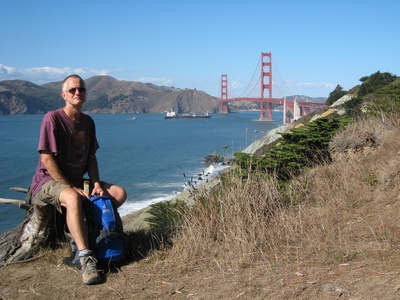
I asked my hiking buddy Esther (shown here) if she knew how Golden Gate Mountain got its name. To paraphrase she said that if you look at the elegant curve of the saddle between the two mountains you can visualize a bridge spanning between the peaks. I liked that story. Now I have two Golden Gates to enjoy!
Here is a another look at Golden Gate Mountain as seen from W Circle Z Street.
This amazing view of Golden Gate Mt happened early one morning as the sun was just coming up and the rain was coming to an end.
Surprise! On New Years day we woke up to snow.
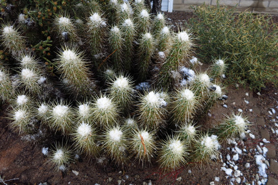
Golden Gate Mt on New Years day. Rarely does the snow stick down this low.
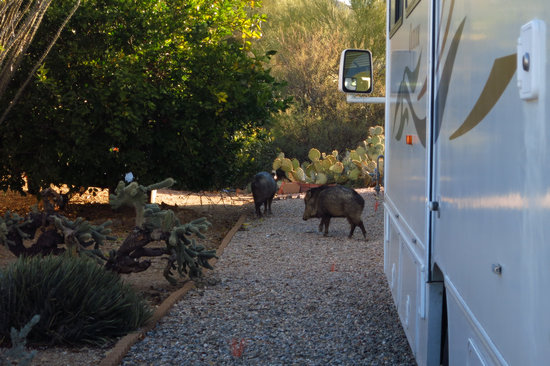
TE is surrounded by open desert and the natives sometimes come a callin'.
On an early morning walk I surprised these two Javalinas as they were ravaging someone's garbage bags which were prematurely placed curb side.
One of the trails we can walk to is the Explorer Trail.
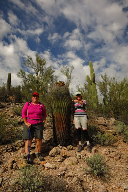
Here Esther and Patricia stand next to a mighty husky barrel cactus. It was growing along the Explorer trail near the north side of Big Cat Mt.
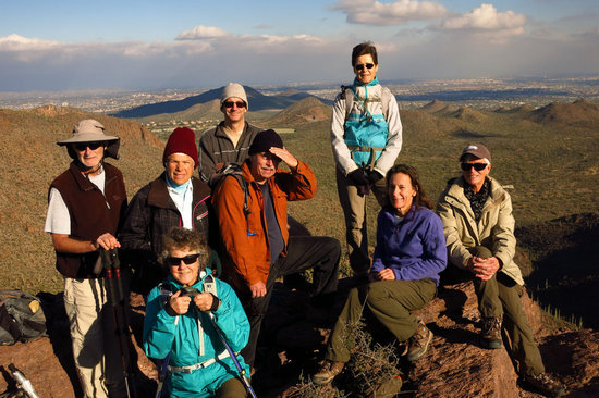
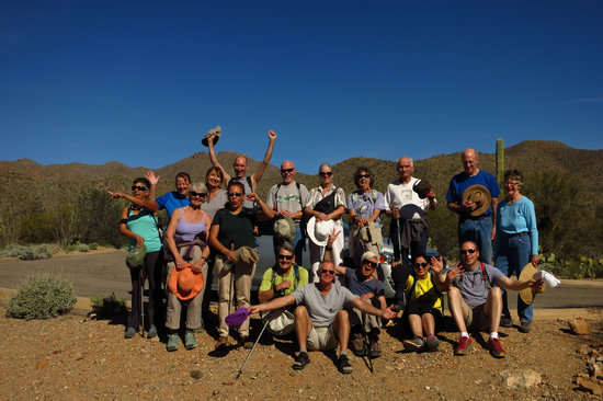
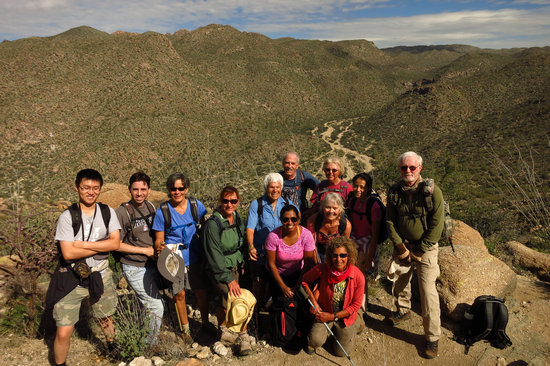
One of my hiking groups on a sunny day at Krein Summit.
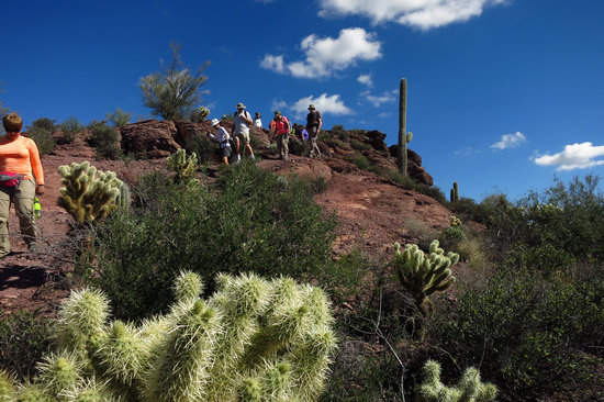
Coming down off of Krein Summit. The cactus in the foreground is a Teddy Bear Cholla.
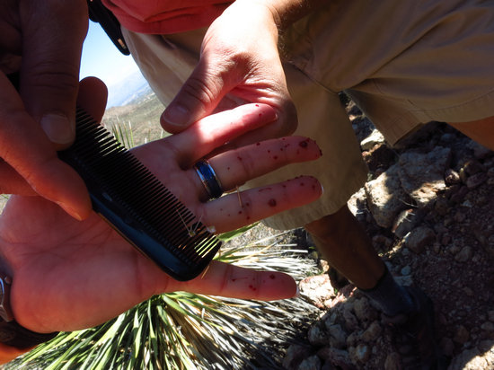
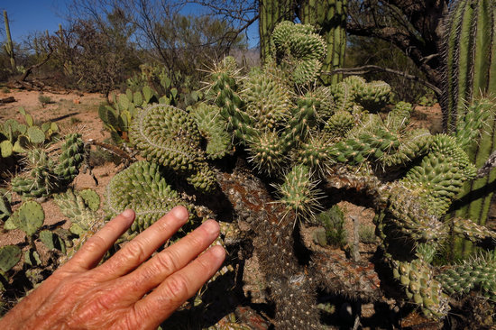
Oops! A Teddy Bear cholla is not something you want to grab hold of to catch your balance. This hiker found out the hard way. A comb is the least painful way to extract the remaining cactus spines.
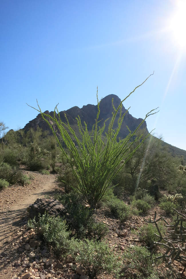
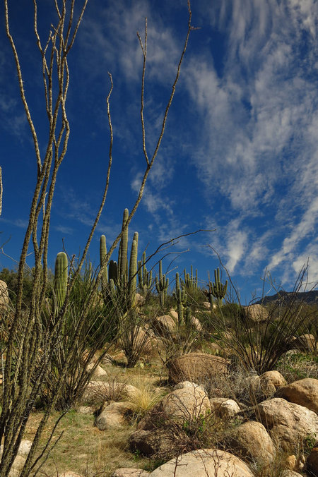
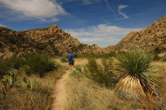
Plentiful winter rains have really started to green up the desert as this Ocotillo will attest.
OK. Lets leave the Tucson Mountains for a bit and hopscotch around to some other places where we hiked.
Party time in the Tortolita Mountains!!!
As in previous years I had planned to hike to the summit of Mt Wrightson in the Santa Rita range on my birthday. Once again my plans were foiled by snow. Mark and Kathy were going to go up Wrightson with me since they had a few other visits there under their boots. And could act as moral support.
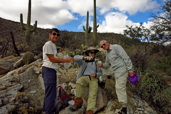
But it was not to be. So on my birthday we headed up to the "Torts" for some hiking. When we stopped for lunch Kathy pulled out this bottle of Champaign and 3 plastic cups and we toasted my 62nd birthday.
Thanks Mark and Kathy!!!
This is "The Great Wall". It is on the upper Alamo trail in the Torts.
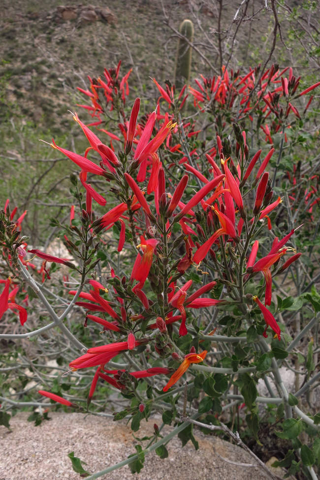
An early Spring in the Torts. This is a Chuparosa which was blooming profusely in February.
Meet Stephen. He is from Canada. I try not to hold that against him. We hike somewhere every Thursday. They are usually hikes with plenty of elevation gain and mileage and hiked at a good clip.
I help him when I can but he often lags behind and whimpers. But that is to be expected - he is Canadian.
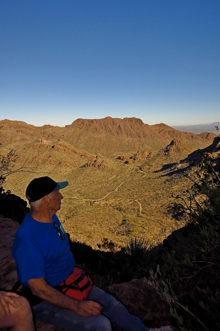
Meet Marv. He is sitting atop Golden Gate Mt which is behind and on the north side of Tucson Estates. Marv will soon be 80 years old. My Thursday hiking buddy Stephen will be 70 this year. I am 62 - a mere child.
Marv led us on an interesting bushwhack up Golden Gate Mt. This means there is no trail and you have to pick your own route. We all got to the top without incident.
Now I don't feel too bad that I am "old" and I am hiking with "old" people like Stephen and Marv.
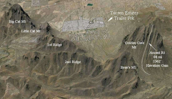
This it the route up Golden Gate Mt. As you can see it is more of a climb than a hike. Click it for a bigger image
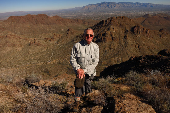
Yours truly atop Golden Gate Mountain.
Oro Valley and the Catalina Mountains are in the distance.
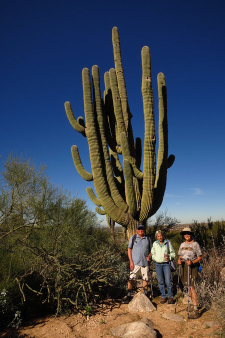
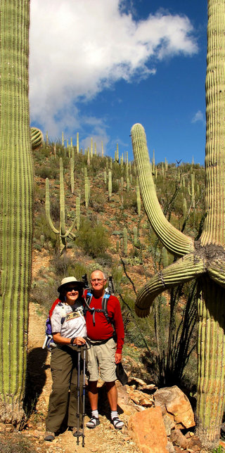
Here Bob, Jeanette and Betsy are dwarfed by an old Saguaro. It is most likely 150 - 200 years old. This was taken on the north end of the Catalina Mts below Pusch Ridge.
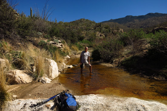
There is nothing like water in the desert! This was near Garwood dam in the Rincon Unit of Saguaro NP.
In February Betsy and I drove up to Gold Canyon to visit Carol and Glen, long time friends of ours. Where Betsy and I live the backdrop is the Tucson Mts. Where Carol and Glen live the Superstition Mountains are the back drop.
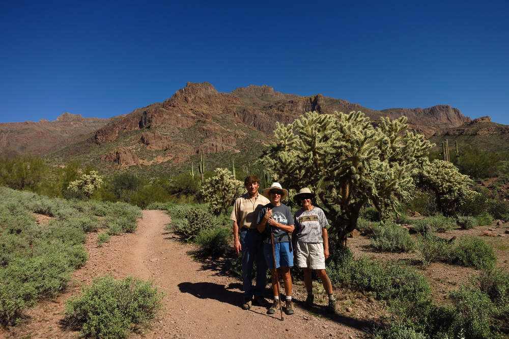
We all went for a hike in the foothills near their house. The desert was lush and the mountains gorgeous.
That's one big Cholla!
North of Tucson lie the Silverbell Mountains and in that range sits Ragged Top Mountain. The mountain top lies within Ironwood Forest National Monument, authorized by President Clinton in 2000. Many have climbed to the top but on this day our group would go only as far as the lower saddle.
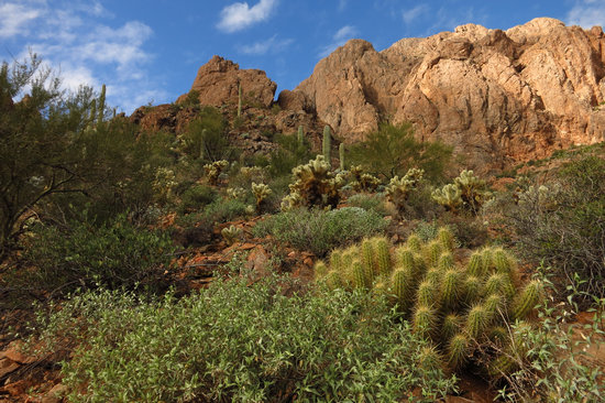
As you can see from the photo there are many fine specimens of Hedgehog Cactus in the area.
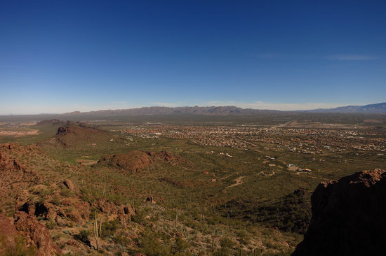
From the saddle there is quite an expansive view. One can only wonder what the view looks like from the summit of Ragged Top.
On the west side of Tucson lies the Red Rock unit of Saguaro NP. Picture Rocks wash is within the unit boundaries. There are some nice petroglyphs above the wash where rock outcrops are covered with more than 100 petroglyphs dating from about A.D. 900 to 1350. The carvings, believed to be the work of ancient natives known as the Hohokam, depict animals, human-like figures, solstice and equinox markers, spirals and other designs.
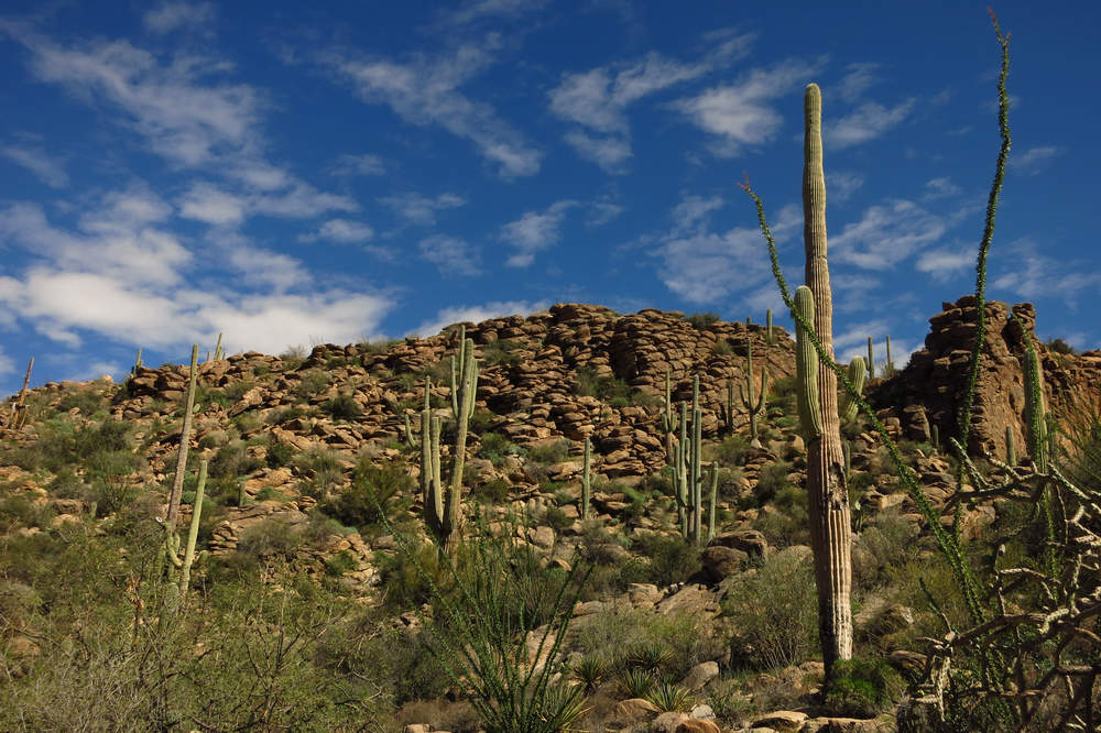
There is plenty of gorgeous Sonoran scenery in the area around Picture Rocks.
If you drive south of the Tucson Mountains for about 45 minutes you will have the pleasure of visiting the Santa Rita mountains. In January they were snow and hoar frost covered.
In February the snow had melted but another storm had them blanketed in snow again in no time. Mt Wrightson in on the far right.
Now we are back in the Tucson Mts. This was taken on the Brown Mountain loop, one of my favorite short hikes. When I take groups on this hike we always stop and visit with Big Bertha.
This is the end of one of Bertha's arms. From this tip will sprout many beauteous flowers. But we will be long gone when that event happens.
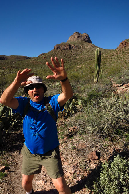
Here are some other Brown Mountain hikers "acting crazy" for the shooter.
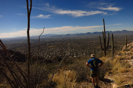
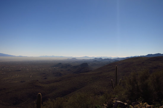
A popular hike in the Catalina Mountains is the Pontatoc Ridge trail. This trail had about 2000' feet of elevation gain and thus some commanding views of the Tucson basin.
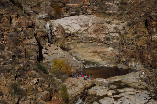
One of the most popular, if not the most popular hike in the Catalina Mountains is the Bear Canyon Trail to 7 Falls. On this day it was already crowded by the time our group arrived.
When hiking in the Sonoran you can see many interesting signs of life - and death.
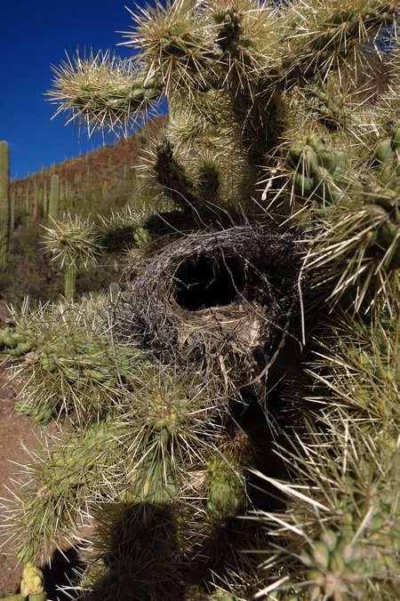
What a place for a nest! The Cactus Wrens make good used of the protective spines of the cholla cactus.
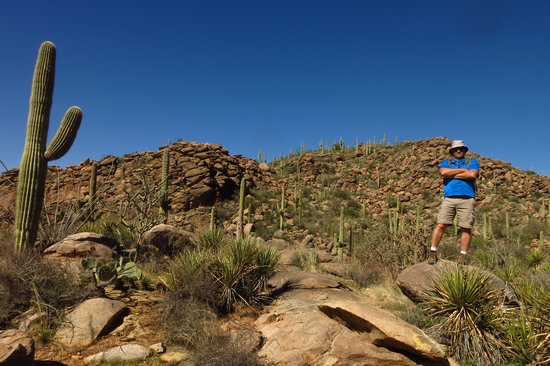
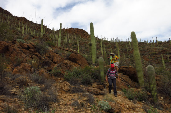
Hikers in the cactus forest. This was taken on the ridge right behind where we live in Tucson Estates.
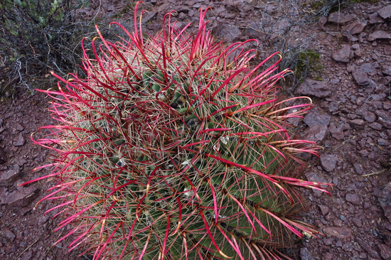
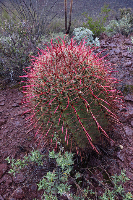
WOW! A red fishhook barrel cactus.
Quite the eye popper.
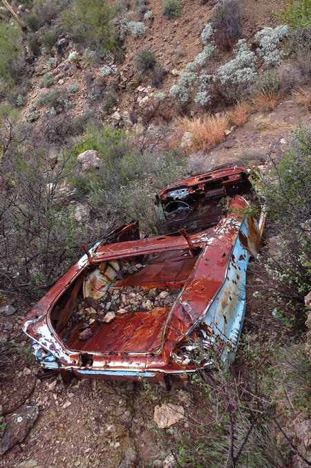
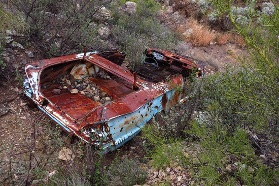
About a 40 minute hike from our place in TE lies this old 58 Chevy. It can bee seen from the west end of the Yetman Trail.
You can read more about this old hunk of history by reading this account of my first sighting.
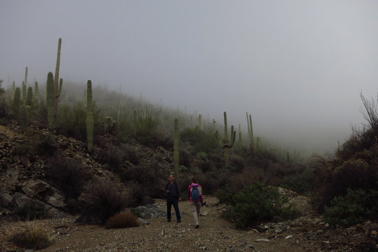
We had a few days of cool foggy weather in February - a real treat if you are in the desert. This shot was taken in King Canyon about 6 miles to the west of TE.
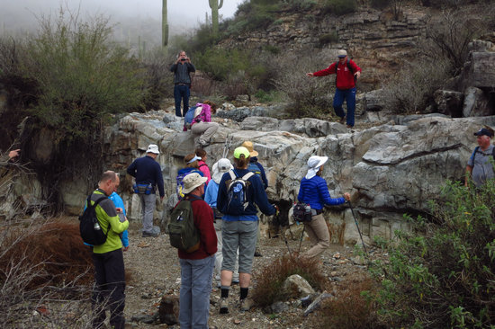
Although they can be bypassed I always take my groups up the ledges - just for fun!
Our usual lunch spot for the King Canyon hike is the saddle which has a great view of the Tucson basin.
In some areas there are thick and expansive carpets of Arizona Spike Moss (Selaginella arizonica). It is a so called "fern ally" by virtue of it being a non flowering vascular plant which reproduces by spores like "true ferns".
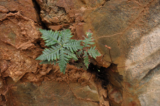
Meet Notholaena standleyi AKA the Star Cloak Fern. This little beauty is common on shaded canyon walls in the Tucson Mountains and elsewhere in the Sonoran desert.
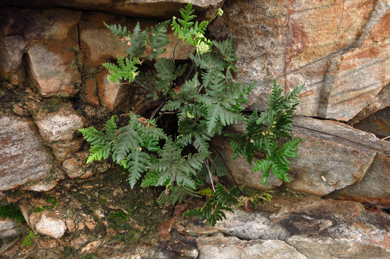
A cheerful community of Star ferns.
This was taken on another hike up King Canyon. No fog that day!
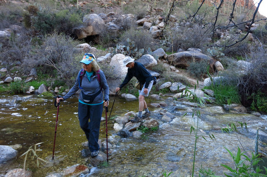
Now we leave the Tucson Mts and jump over to Pima Canyon in the Santa Catalina Mts. The canyon trail is very popular because of it's lush riparian habitat and lovely creek which makes for fun stream crossings.
On this day we hiked up Pima Canyon to the second dam. This hike is about 8.5 miles RT with 2000' of elevation gain.
This is the second dam. Like all the dams I have seen in the area it is completely back filled so now it is a waterfall instead of a dam and small pond or "tanque".
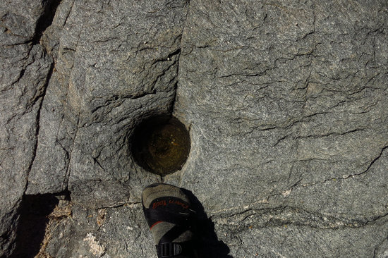
Near the lower and first dam are some fine examples of "mortaros" - ancient grinding holes used by the Hohokam people to grind mesquite beans and other seeds to make flour.
A look back up Pima Canyon. Another stellar day of hiking in the Sonoran desert.
Remember Stephen? Here he is seen doing his version of the Mexican Hat Dance in prepartion for our climb to the top of Sombrero Peak which is in the background.
It is a short hike - 3 miles round trip. But it is more of a climb than a hike and it has about 1500' of AEG (accumulative elecvation gain) and some very steep sections on the unofficial trail.
Looking east towards Marana and the Tortolita Mts from the top of Safford Peak - AKA Sombrero.
Looking south east towards the Catalina Mts.
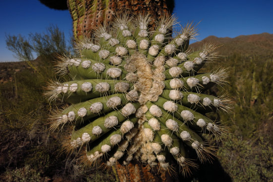
Over near the Rincon Mountains I spotted this rare form of the Staghorn Chollo . These growth anomalys are called "crests".
The 3+ inches of rain that fell in the Tucson area this winter brought water to all the canyons.
Here veteran hiker Roger Nordby of Minnesota cools his heels on the way back from the 9 mile Phoneline trail / Sabino Road loop.
On the north end of the Catalina Mountains is Catalina State Park where the trailhead for the hike to Romero Pools starts. Stephen and I decided to hike up to the Pools for one of our Thursday hikes.
Lotsa gorgeous scenery on the way to the pools.
Whoda thunkit!!?? A pricky pear cactus growing in a mesquite tree!
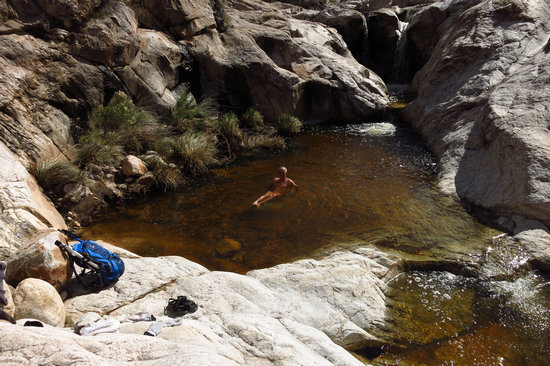
Since Betsy was not there to skinny-dip, I did!!! The water was a tad chilly...
When hiking to the pools one goes through some of the 56,000 acre Pusch Ridge Wilderness. Nice.
When leading hikes I try to get to as many nearby mountain ranges as possbile. This shot was taken in the Tortolita Mountains in the upper section of the Alamo Trail. Seen below is Burro Canyon.
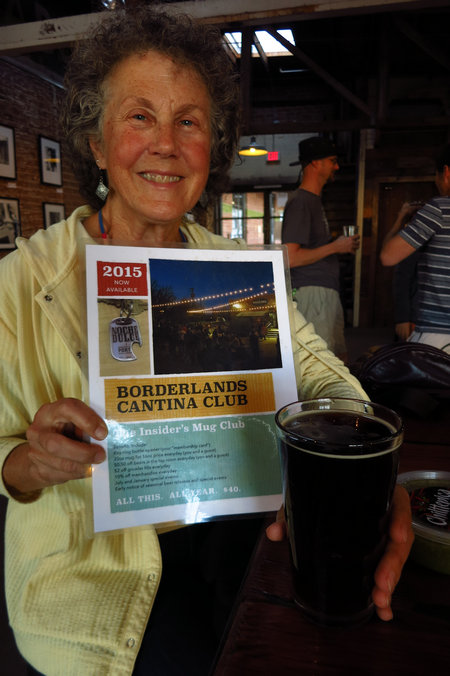
Our favorite post hiking activitity. This pint was quaffed at the Borderlands Brewery.
This shot was taken from Shreve Saddle and looks down into the Sycamore canyon of the Catalina Mts. On that day we had an interesting mix of sleet, rain and snow and a good time was had by all.
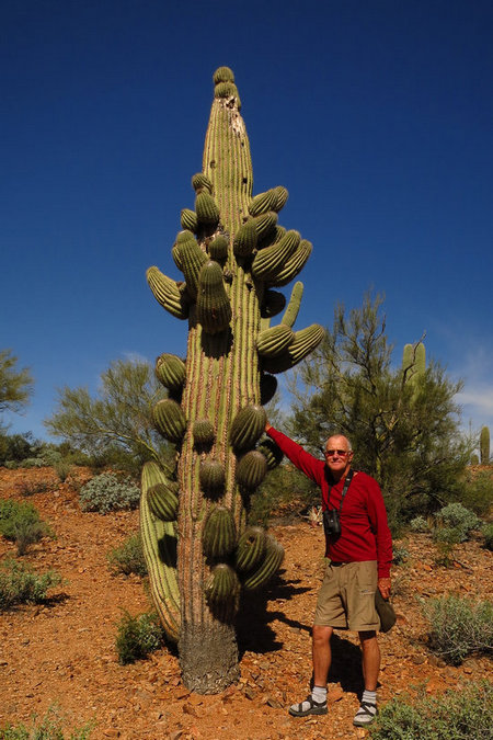
A local favorite - the Christmas Tree Saguaro. It is in the Tucson Mts near the Ironwood picnic area.
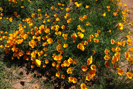
The spring wild flowers have been fabulous this year as these California poppies prove.
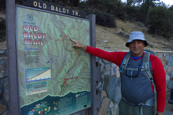
For three years I have been trying to get to Mt Wrightson (Old Baldy), the 9400' summit of the Santa Rita Mts. Every year I have been thwarted by snow. This year things finally opened up and Stephen and I struck while the iron was hot.
The route we chose was 10.2 miles round trip with 4000' feet of elevation gain. WHEW!
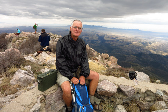
We made it!
Stephen took this photo. Click on it.
On the way down the mountain we spotted this dryad. Nice!!!
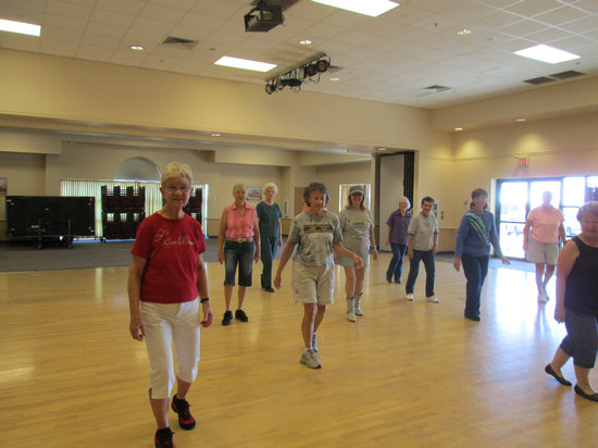
Sometime while I hike Betsy dances. She has been taking line dancing twice a week for 3 months and is getting the hang of it now.
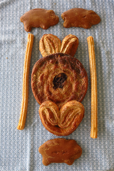
A local grocery chain - Food City, has lots of nice Mexican pastries to choose from.
Now we get to have some fun!
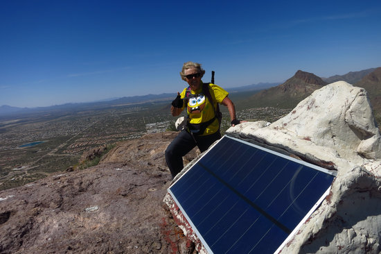
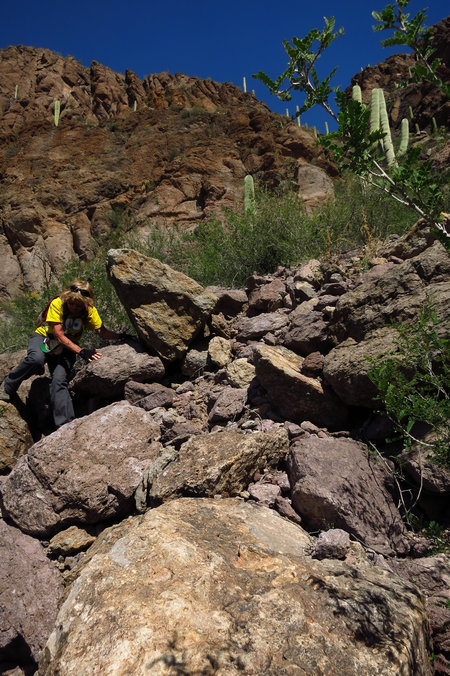
Meet Patricia. She hikes a lot and goes to the gym three days a week. This came in handy on our rock scrambling bushwack to the top of Big Cat Mt.
We made it! The summit is 3,835'.
Patricia is standing next to a Pima County Sheriff's radio repeater which is compete with solar panel.
Tucson Estates laid out below with Golden Gate, Brens and Little Cat mountains to the north.
We made our descent down "the shute" as it is locally called. It was steep and in places treacherous with lots of loose rocks.
The first notch on the right is the route we came down. As you can see, the Brittlebush was in full bloom.
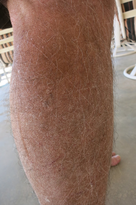
This is what happens when you bushwhack in shorts. Me big dummy!
Next stop - Wheeling WV via San Antonio and Padre Island National Seashore.


