Mike Breiding's Epic Road Trips
Tucson to Wheeling: April 2018
Dog Canyon Trail
Canyon Solitude in the Lincoln National Forest
Tuesday - April the 3rd
Dog Canyon Trail in the Lincoln National Forest
Never having been to the Alamogordo area before I did not realize the beautiful Sacramento mountains were on the city's doorstep. If I done more homework on this area I might have planned to stay longer and do a bit of exploring. But, that will have to wait for another day.
One of the first things I checked on when I made the decision to stay in Alamogordo was it's proximity to hiking trails. Fortunately the Dog Canyon Trail in the Lincoln National Forest was nearby - about a 30 minutes from Alamogordo.
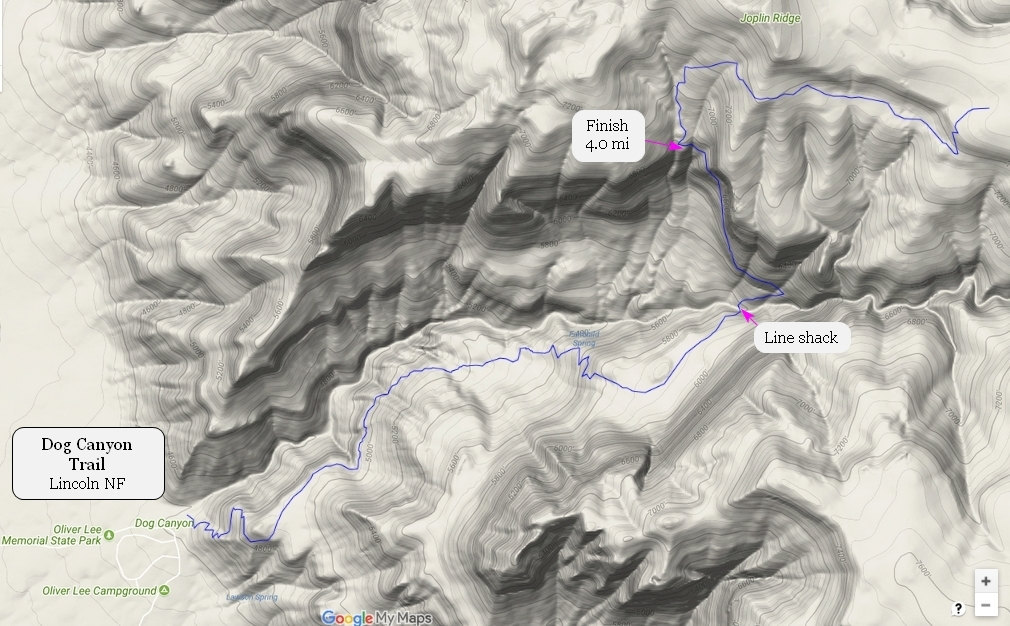
These marked up maps will get us oriented.
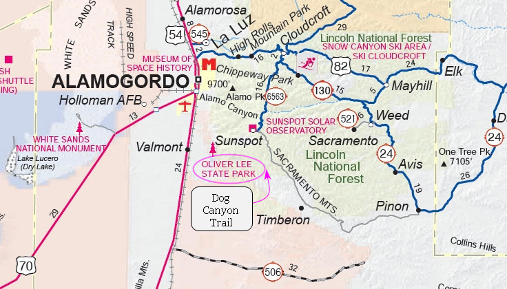
The Dog Canyon Trail is accessed from Oliver Lee Memorial State Park. The park has a $5.00 entrance fee for park use or trail access.
Set against the dramatic Sacramento Mountains, this park (Oliver Lee Memorial State Park) features a historic ranch house, quiet camping in the Chihuahuan Desert, and the unique oasis of pools of water under the cottonwood trees of Dog Canyon. Enjoy a short walk on the Riparian Nature Trail or a challenging hike up the Dog Canyon Trail.
Source: New Mexico Energy, Minerals and Natural Resources Department ©
Oliver Lee Memorial State Park consists of two separate parcels of land. Both parcels are historically significant. The Dog Canyon tract was used by Apache warriors as a defensive position and a base of operations during their numerous battles and wars with Euro-American explorers and settlers.
Oliver Lee's homestead near the mouth of Dog Canyon was built in 1893. Lee was an influential and controversial citizen of New Mexico's settlement. The ranch is now a historic site and demonstrates how the ranch home looked while Lee was living there. As a well known rancher Lee was able to use his political influence to bring the railroad to nearby Alamogordo in 1898 and establish financial connections with influential citizens in El Paso, Texas.[2] Lee was a known associate of Albert B. Fall and once engaged in an ineffectual gun fight with Pat Garrett. The second and northern parcel of land, has been studied extensively by archaeologists to determine the cultural history of the area.
Source: WikiPedia
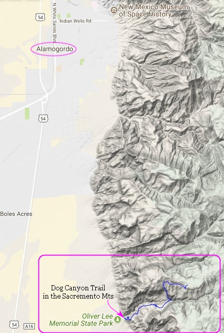

A more detailed look at the terrain through which the Dog Canyon trail passes. I got quite a workout on this trail - both out and back.
Click on the photos below for a larger image.
When I arrived at the park all was quiet. For a while. I saw a few campers wandering around with coffee cups in their hands but that was about it.
I parked in front of the visitors center and decided to see if they had some info on the park I could add to my collection. Closed. So much for that. I got my pack on and hit the trail.
The first half mile or so of the trail is within the state park boundaries, then it enters the Lincoln NF. On this section of trail I could hear the sound of heavy equipement at work on the park's dumping station. But I was soon out of earshot.
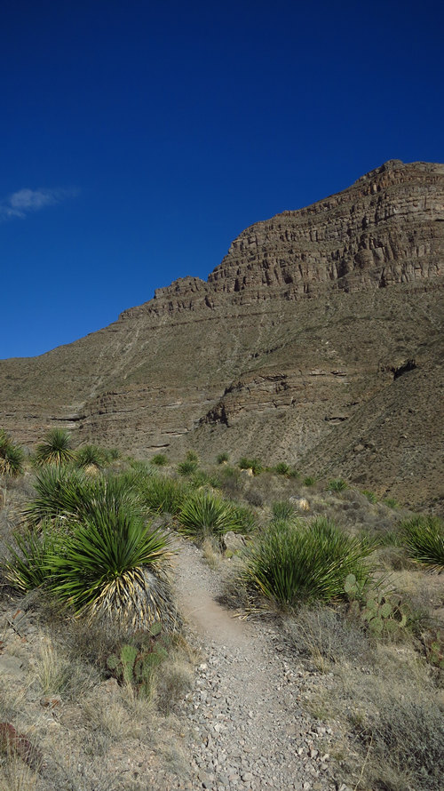
The boundary line between the state park and national forest. As you can see I was already getting some fabulous views up the canyon.
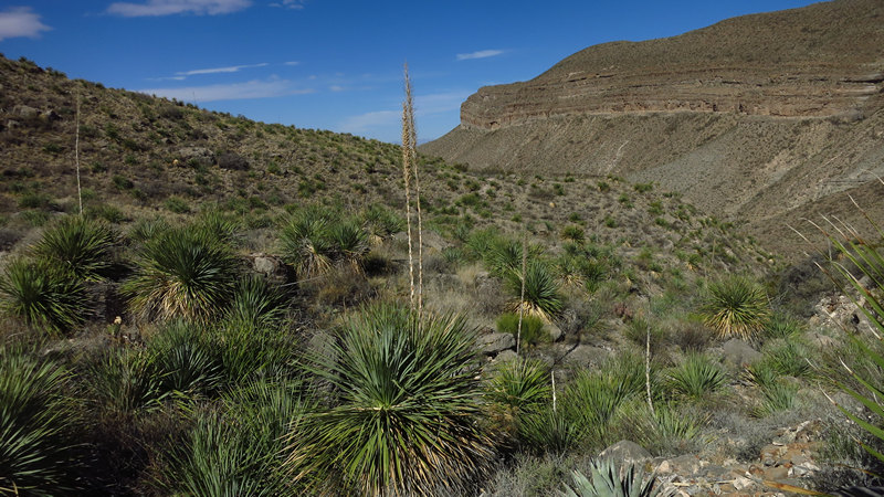
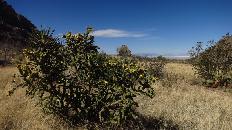
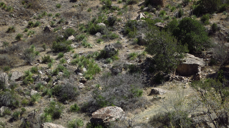
There were familiar plants here. The ocotillo seen here as well as many, many thousands of plants of Sotol (aka Desert Spoon). Higher up the canyon I came across a small cholla forest one of the few flats I encountered.
Looking down in the lush riparian area at the entrance to Dog Canyon. The greenery seen here is most likely Rio Grande Cottonwood (Populus wislizeni)
Looking back out of the canyon to the wash. The visitors center can be seen in the center of the photo.
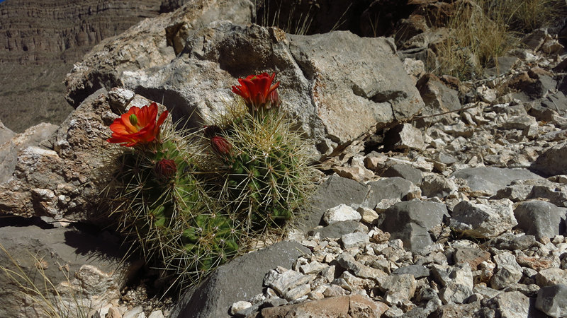
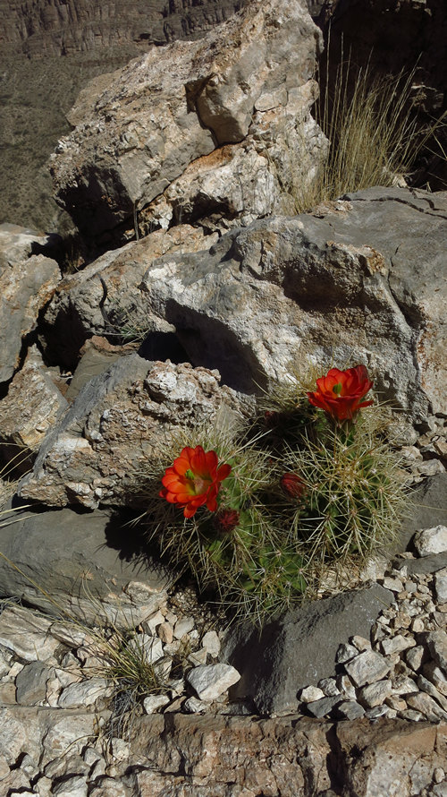
This was one of many clumps of hedgehog cacti I saw. Some were on vertical rock faces, some on boulders, some on the ground soil. I saw a few of them in bloom.
I am starting to get some elevation now. I am not yet huffin' and puffin' but it would not be long before I was.
Cute little things!
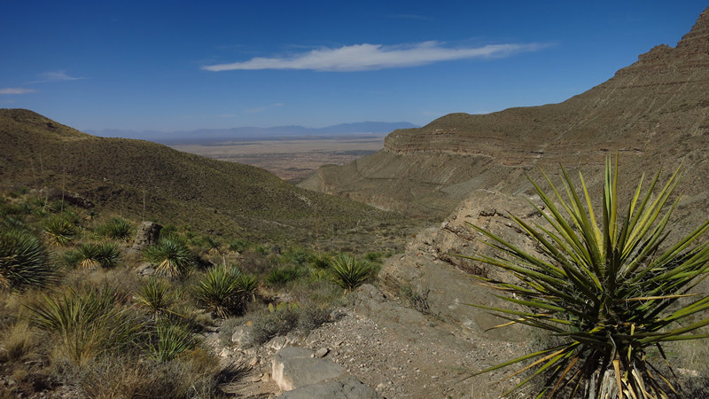
Here a Torrey's Yucca (Yucca faxoniana) partially framing the canyon view.
These steep, rocky slopes are no impediment to these Sotol and beaver-tail cacti.
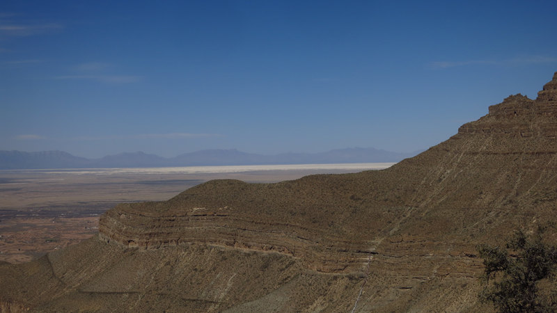
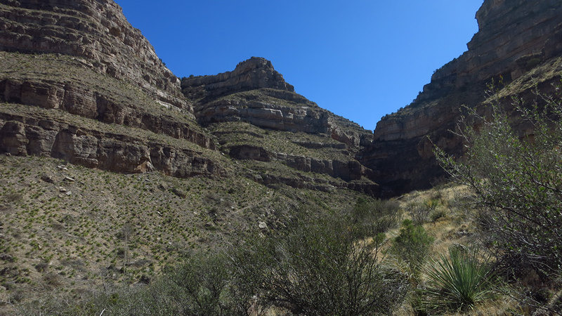
As with so many places in the west the scenery is so dramatic it is hard to keep the finger off the shutter button.
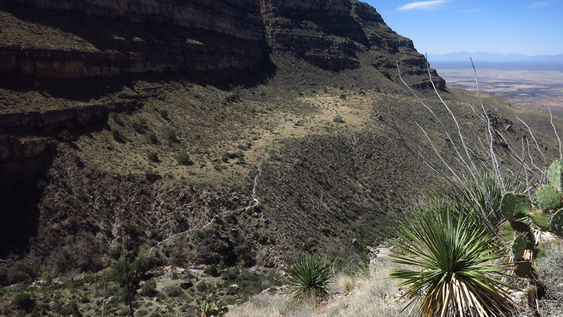
Now we are getting some elevation. Do you see that slightly sloping area in the center? The trail runs along the left hand side at the bottom of the gentle slope then drops off rapidly on the other side.
In the land of greys and browns this yellow beauty was like beacon.
The trail here is flanked by Sotol. This is plant which is fairly common in the Sonoran desert where Betsy and I spend the winter. But here in the Chihuahuan desert it is much more common. Especially at these higher elevations.
Sotol is a distilled spirit sourced from Dasylirion wheeleri, Asparagaceae (commonly known as Desert Spoon or, in Spanish, sotol), a plant that grows in northern Mexico, New Mexico, west Texas, and the Texas Hill Country. It is known as the state drink of Chihuahua, Durango and Coahuila, and is also currently produced in Central Texas. There are few commercial examples available. It is produced in a manner similar to the more common artisanal mezcals of central Mexico. The flowering stem of sotol is one of the best materials for making a friction fire, as it is straight, light in weight, and strong. As it is straight, the stem requiring little to no straightening prior to use, it was commonly used as a lance and spear, the latter with an attached stone or metal point.
Source: WikiPedia
Dasylirion wheeleri (desert spoon, spoon flower, or common sotol) is a species of flowering plant in the asparagus family Asparagaceae, native to arid environments of northern Mexico, in Chihuahua and Sonora and in the southwestern United States, in the Sonoran Desert in Arizona, and also in New Mexico and Texas.
Dasylirion is a compound word from the Greek, literally meaning “dense” or “shaggy” + “lily”. The Latin specific epithet wheeleri refers to the American surveyor and plant collector George Montague Wheeler (1842-1905).
The Tarahumara and Pima Bajo peoples of the Sierra Madre Occidental of Chihuahua weave baskets from the leaves after they strip off the spines from the leaf margins. They also employ the expanded leaf bases in making large artificial flowers as holiday decorations.
Source: WikiPedia
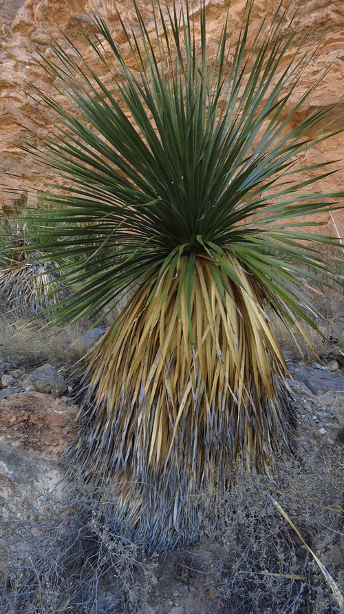
A fine specimen. When used in the landscape most folks will trim off the "skirt" of spent leaves exposing the stalk. To me this is the mutilation of a perfectly beautiful plant.
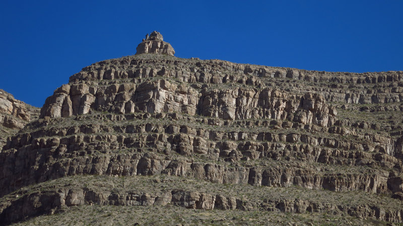
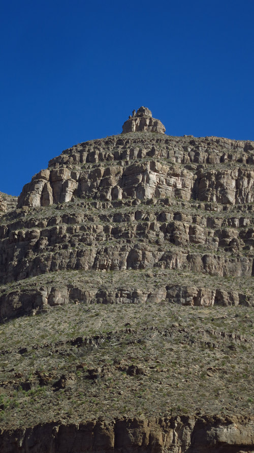
This spire reminded me of Thimble Peak in the Catalina mountains which are on the east side of Tucson.
I could not help but wonder if this outstanding rock formation had been summited or not.
More little cuties! The higher I climbed the more hedgehog cacti I saw in bloom.
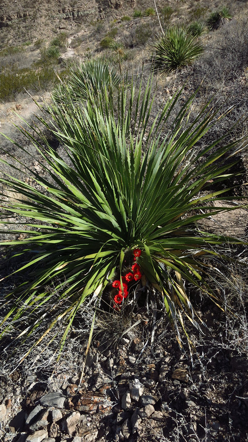
This one had found a nice shady spot at the base of a Sotol.
Oh, my. This is why I gladly endure these kind of hikes. They are mostly pleasure, but for me there is always some pain.
Off in the distance one can clearly see the White Sands of the National Monument.
I had gained enough elevation now to start seeing some trees. Next to the boulder in Alligator juniper. The Alligator juniper is common in the Madrean Sky Islands which ring the Tucson basin.
In the foreground is a husky cholla. There are several species of these in the basin and low mountains in the Tucson area.
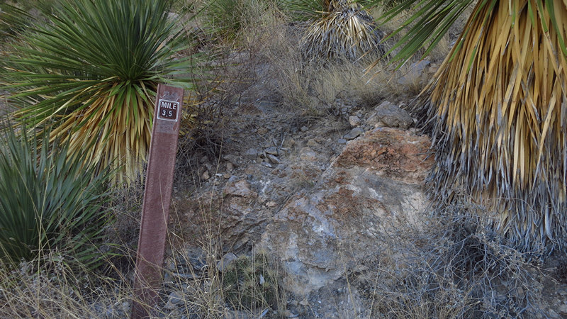
2.5? NOT! The inaccuracy of Forest Service mile markers is legendary amongst hikers. I would love to know what instruments were used to calculate the distances which are displayed here and elsewhere.
By my reckoning (Garmin GPS) and others, this marker is about .75 miles off.
Another large cholla laden with yellow fruits.
I can now clearly see the upper reached of the canyon. As I looked up I wondered: "How in the hell am I going to get up there!
Do you see it? On the far right of the frame? I have now reached the line shack. Here the trail winds down to the canyon floor into a lovely riparian area.
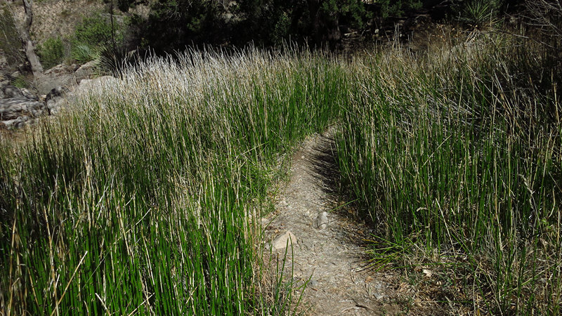
When I reached the canyon floor I saw an old friend - scouring rush horsetail. If you see scouring rush horsetail, there must be moisture. This "fern ally" has an amazing range. Check it out.
In nature Equisetum hyemale grows in mesic (reliably moist) habitats, often in sandy or gravelly areas. It grows from between sea level to 2,530 metres (8,300 ft) in elevation.
It is primarily found in wetlands, and in riparian zones of rivers and streams where it can withstand seasonal flooding.[3] It is also found around springs and seeps, and can indicate their presence when not flowing. Other habitats include moist forest and woodland openings, lake and pond shores, ditches, and marshes and swamps.
Source: WikiPedia
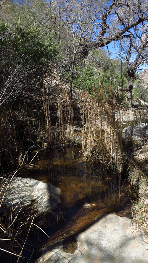
There were some nice pools here shaded by stunted looking cotton woods.
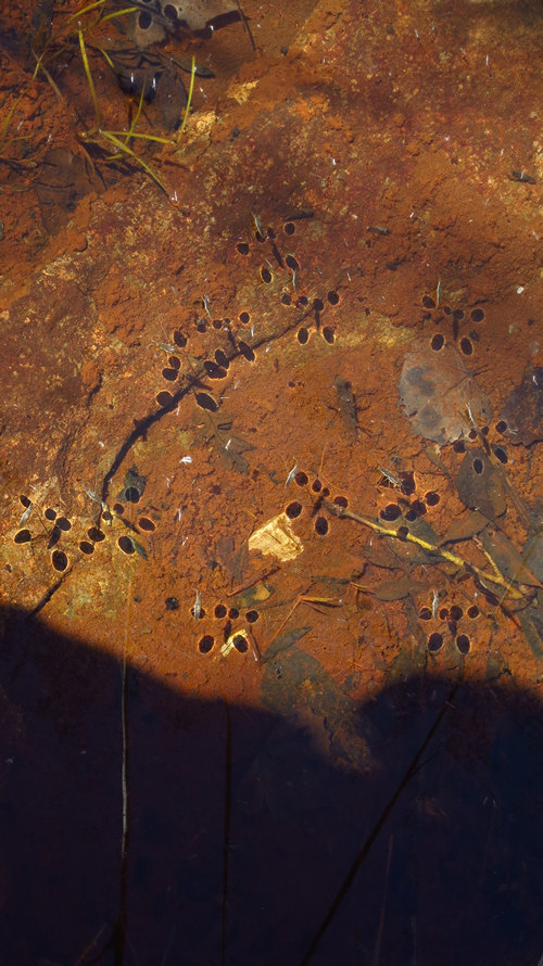
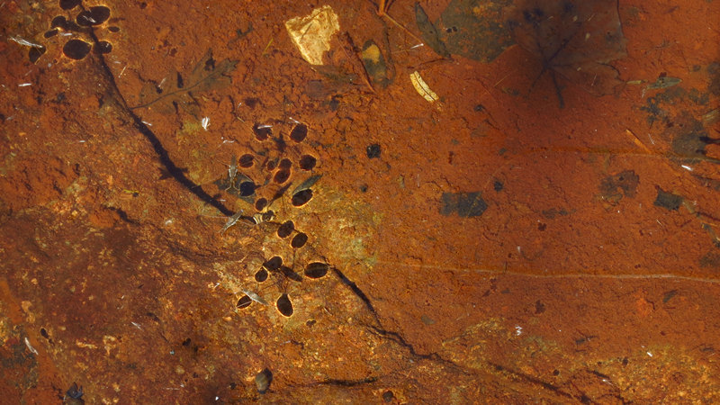
And in these pools I found another old friend - the water skipper. I have many fond childhood memories chasing these critters in the creek which ran in front of our house at Oglebay Park. Some folks call them water "striders". We always called them water "skippers"
Water striders are small insects that are adapted for life on top of still water, using surface tension to their advantage so they can “walk on water.”
Water acts different at the surface. Water molecules are attracted to each other and like to stay together, especially on the surface where there is only air above. The attraction between water molecules creates tension and a very delicate membrane. Water striders walk on this membrane.
Water striders are about a half-inch long with a thin body and three sets of legs. The water strider's secret is its legs. The legs have tiny hairs that repel water and capture air. By repelling water, the tiny water striders stand on the water’s surface and the captured airs allows them to float and move easily.
Source: The National Wildlife Federation
See those dark spots in the water? The indentation on the water's surface caused by the skippers legs must be forming a distortion and "bending" the light which shows up as dark spots.
As my buddy Mr. Spock used to say: "Fascinating."
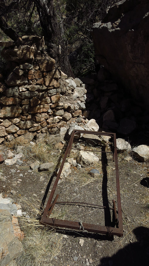
I am not sure whether it was sheep or cattle which were grazed up here in the canyon but somebody had to look after them. And that somebody needed a place to stay.
I think this is what is sometimes referred to as "rough living". Talk about solitude.
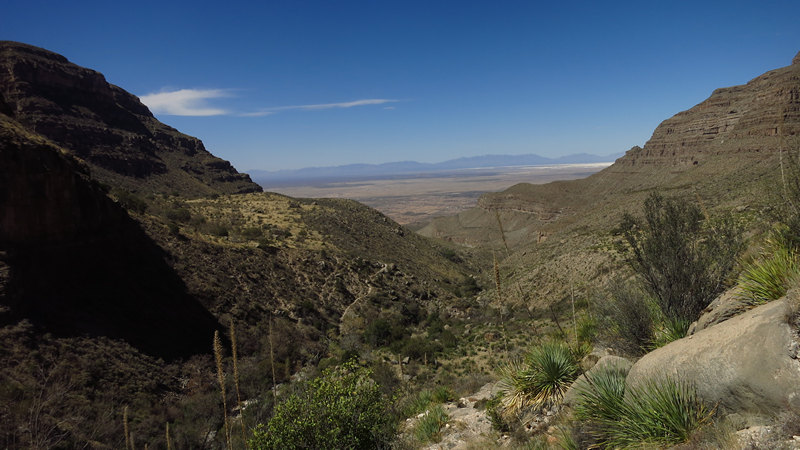
The view is really starting to open up now.
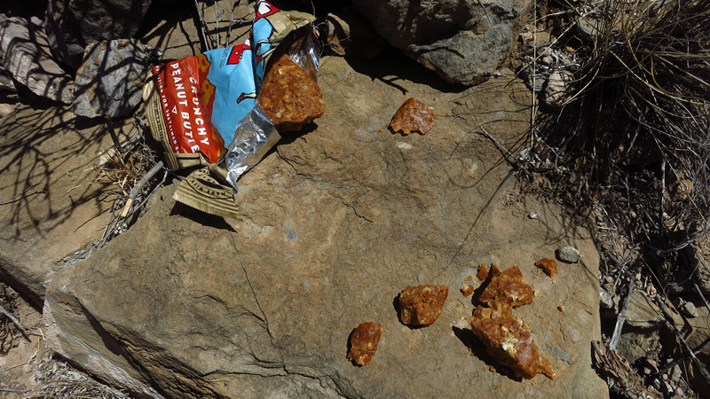
Doesn't this look appetizing! Wanting to keep moving I pulled an energy bar out of the pocket of my pack. When I bit into I felt lucky I did not break a tooth. The bar was as hard as the rocks as I was walking on. That's what happens when you keep food for months and the humidity is only about 8%. Although I now put a date on bars with a marker when I buy them I think I missed this one. I finally ended up beating this bar with a rock in order to get it into pieces small enough I could suck on. Yummy.
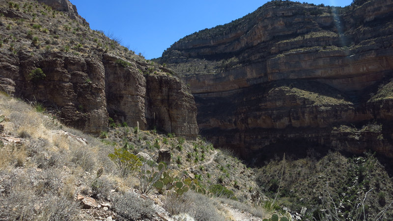
This is looking across the canyon to the trail segment which dips down to the line shack.
Here we are at my turn around point. I had reached my limit on this hike. And although pride had been pushing me for a while I was now at the point when I felt it best to start back down the steep and rocky trail which would take me back to my staring point.
BTW - my GPS unit had logged nearly 4.5 miles by now, not the 3.5 shown above. I decided to compromise and call it 4.0 miles.
This terrain map makes the trail appear to be a fairly gentle climb. That was not the case.
After a short rest I got out my trekking poles and started the hike back down. I do not normally use poles but I was mighty glad to have them on the hike back down.
Here are my last two shots for the day. A great way to end a very memorable hike. And, I did not see or hear one human for the entire hike. Perfect.
Next stop...?
See you then.
~Mike


