Mike Breiding's Epic Road Trips: October 2020
Morgantown to Tucson: Back Roads and Some New Territory
Where Shall We Go This Time?
West Virginia, Kentucky, Missouri, Kansas, Oklahoma, Texas, New Mexico and Arizona
INTRO: 12 October 2020
Morgantown to Tucson: Back Roads and Some New Territory
I have lost track of how many times I made the drive from West Virginia to Arizona, let alone how many times I have been back and forth across the US on various Road Trips.
Every trip has necessitated making the decisions on where to stop, if at all, and what route to take to get there. I have meandered and meandered and I have, one time only and hopefully never again made the drive to Tucson in 3 days. Three looooong days.
To plan this upcoming trip I started looking at maps over a month ago. I had some ideas on the how of driving this trip, but not really the where. As it always does, this gelled over time and eventually I had the first couple of days plotted out.
Then, just for the helluvit I decided to plug my two end points and the two places I had decided I wanted to visit into Google Navigator, choose the "No Highways" option and see what them there fancy algorithms would come up with.
Click the map for route details.
Low and behold the exact route I had chosen for the first two days came up on the Google maps route. This should have been no surprise as there are limited "No Highway" options when you are driving through southern West Virginia and Kentucky.
Encouraged by this I started looking at the machine chosen route mile bye mile. I became more interested and more encouraged. I started drilling down and doing searches for specific areas, towns, public lands and recreation areas.
Then, at some point I knew I had the route I wanted to take. One of the main reasons was it would jerk me out of the habit of taking my tried and true and much loved routes and would take me to some places I had never been before.
So, in less then 24 hours I will be on the road and wending my way to where my desires do reside - in the loving arms of my wife.
⋄⋄⋄⋄⋄⋄⋄⋄⋄⋄⋄⋄⋄⋄
13 October 2020
First Stop: Duck WV and the Elk River Rail-Trail.
My first planned stop on this 2300 mile road trip would be fairly close to home, just about 100 miles down the road. Yes, I was finally going to see the sprawling metropolis of Duck, WV.
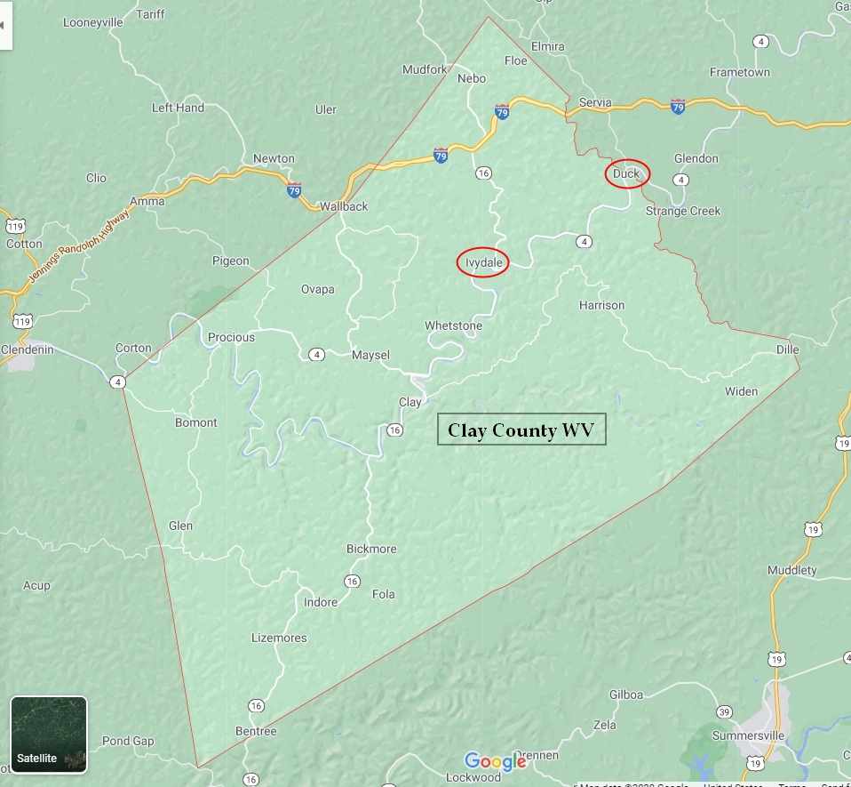
Source: WikiPedia
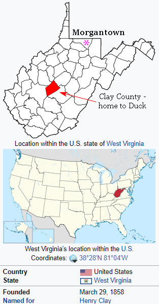
Duck is in Clay county which is outlined in red. The town of Ivydale is 10 miles south and this is the section of the Elk River Rail-Trail I rode today.
The county was founded in 1858 and named in honor of Henry Clay, famous American statesman, member of the United States Senate from Kentucky and United States Secretary of State in the 19th century.
Clay County is also the birthplace of the Golden Delicious Apple. The original tree was found on the Mullins' family farm in Clay County, West Virginia, United States and was locally known as Mullin's Yellow Seedling and Annit apple.
Source: WikiPedia
Until I spoke with Ella Belling, executive director of the Mon River Trails Conservancy, I had no idea West Virginia had a town named Duck and certainly had no idea where it was.
Well, as it turns out, Duck is currently the northern end of West Virginia's newest Rail Trail, the Elk River Rail Trail, and Ella had contacted me about adding a page entry for the new trail at the West Virginia Rails-to-Trails Council website. This I did and thus learned a bit more about this Rail Trail.
The Elk River Rail-Trail is open a distance of almost 28 miles. The 10 miles between Duck and Ivydale and the 12 miles between Ivydale and Dundon and another 3 miles from Dundon to Pisgah Bridge in the Town of Clay are now open. Another 3 miles from Pisgah Bridge to Hartland will be open very soon, giving 28 miles of continuous Rail-Trail.
Source: Kenneth E. Tawney, President - Elk River Trail Foundation, Inc.
The hope is that when completed, the Elk River Rail-Trail will be 73 miles in length, making it just one mile longer than the North Bend Rail-Trail and five miles shorter than the Greenbrier River Rail-Trail, both in West Virginia.
If you are wondering about the Elk River there is a good map here showing the river and watershed which feeds it.
The Elk River is a tributary of the Kanawha River, 172 miles (277 km) long, in central West Virginia in the United States. Via the Kanawha and Ohio rivers, it is part of the watershed of the Mississippi River.
The Elk is formed in the Allegheny Mountains in Pocahontas County by the confluence of two short streams, the Big Spring Fork and the Old Field Fork, which join near the community of Slatyfork. It flows above ground for several miles before it sinks into a network of caverns and flows underground for more than five miles. The old riverbed of solid rock, however, remains above ground in this section known as "The Dries." It follows a generally westward course across the unglaciated Allegheny Plateau, through Randolph, Webster, Braxton, Clay, and Kanawha Counties, past the towns of Webster Springs, Sutton, Gassaway, Clay, Clendenin, and Elkview before joining the Kanawha River at Charleston.
At Sutton, a U.S. Army Corps of Engineers concrete dam causes the Elk to form Sutton Lake.
The Elk's largest tributaries are the Holly River and the Birch River, both of which join it in Braxton County.
Source: WikiPedia
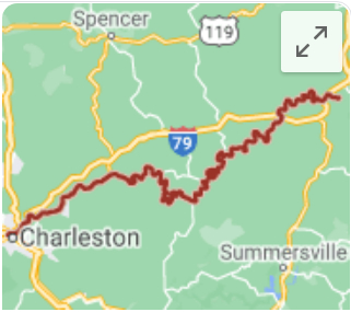
Here is a fuzzy map of the 172 miles long Elk River which is a very popular fishing and boating river.
Joining me on this exploratory ride today would be Peggy Pings. Back in the early 90s Peggy performed a Rails-to-Trails Conversion on me and we have been involved in many things related to Rail-Trails since that time.
Now Peggy is retired and can enjoy the fruits of her Rail-Trail efforts and that of others as well.
Here is a little bit about Peggy.
Moving to Morgantown WV from home town Madison WI in 1982, Peggy went to WVU and got a BS Landscape Architecture and MS Recreation Management. In 1991, Peggy was Founding Board Member and first (volunteer) President of the Monongahela River Trails Conservancy (MRTC), to convert the 50-mile rail corridor into the Mon River Rail-Trail.(It was during this time that she met Mike Breiding and worked with him on the trail project).
Peggy was hired in 1995 to open and staff the WV Field Office of the Rivers, Trails & Conservation Assistance (RTCA) Program of the National Park Service (NPS). During this 22-year career, Peggy also worked on developing the Upper Mon River Water Trail, with local partners.
In 2012, Peggy purchased the Twin Spruce Marina, as her retirement project and future home, along the Mon River Water Trail and the Mon River Rail-Trail. And that is where you will find her and her husband Brian Zwergel living happily ever after today!
Oh, and it should be mentioned that she also raised two first-generation West Virginia sons, and now with two young grandsons (all 4 boys born at home!), another point of pride. Peggy is humbled by the unique beauties of humanity and nature.Source: Peggy Pings
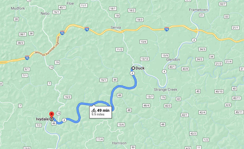
Here is our planned route for today. Peggy suggested we ride just a bit beyond Ivydale, which we did. Our ride total was 22 miles.
Click on the photos below for a larger image.
Here we are at the trail head in Duck. There is also a hand launch on the Elk River at this point.
I arrived shortly before Peggy and took a few snaps and ate my Subway sandwich until she arrived. We were on the trail by about 10:30.
The weather was not looking the best for cycling. It was misty and spitting rain the whole drive down from Morgantown. And although dampish and cool the rain had stopped by the time we were in the saddle.
Photo: Peggy Pings
Ready to roll...
We were glad to see the old RR x-ing sign still in place.
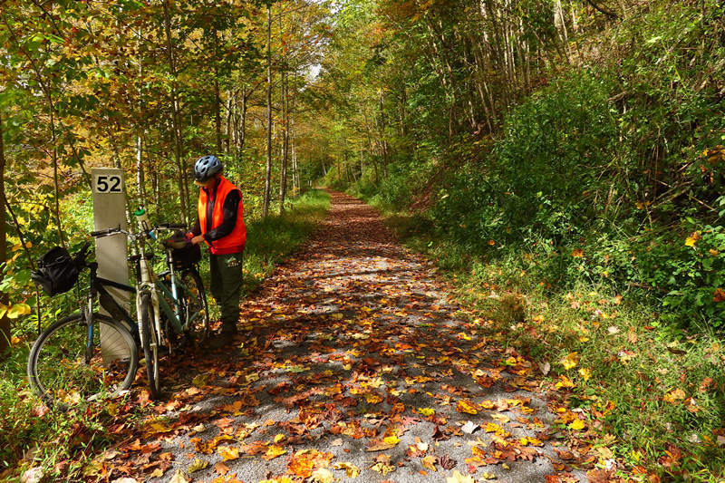
The early fall weather had brought a lot of the leaves down which added to the beauty of the ride. The sandstone ledge on the left would be with us most of the ride and become more and more exposed.
We saw some very large rhododendrons as well as black and paper birch.
The brand new bridges looked fresh and clean, a novelty for us.
The view from the bridge. I imagine there will be a good bit of water in this creek by the time spring rolls around. That would be fun to see.
Ooops! Peggy points out some bridge deck damage.
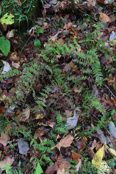
I was delighted to see so many ferns. The bank was covered with them for most of the ride.
Here Peggy points out some chunky rocks. We saw a good bit of this along with pot holes, horse hoof divots and soft spots. This greatly effected the overall quality of the ride.
If left uncovered the stones will work their way to the surface this winter from freeze/thaw action.
Photo: Peggy Pings
In several places the trail developer had used the old RR ties for barriers to separate the trail from access roads which accessed the houses along the river. Fortunately there were few houses and the trail had a very natural feel for most of the ride.
Photo: Peggy Pings
I love this shot! This is indeed a "rail to trail".
Talk about substantial! This barrier will be there a looooong time.
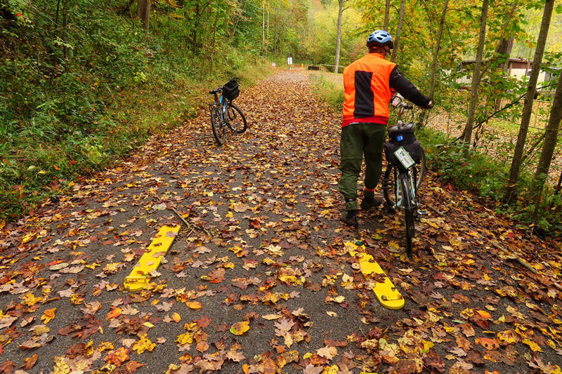
The trail developer had opted for hinged, drop down bollards which can be driven over. But, they have the disadvantage of being easily damaged in both the upright and the dropped position. And, if left dropped as seen here they become a hazard to walkers and biker alike - especially if partially obscured by fallen leaves.
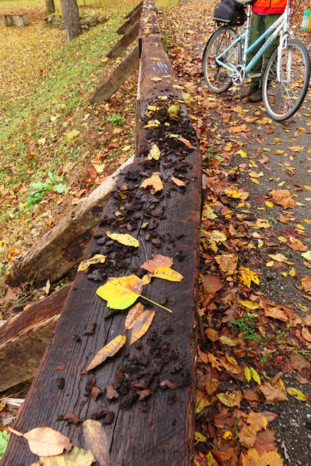
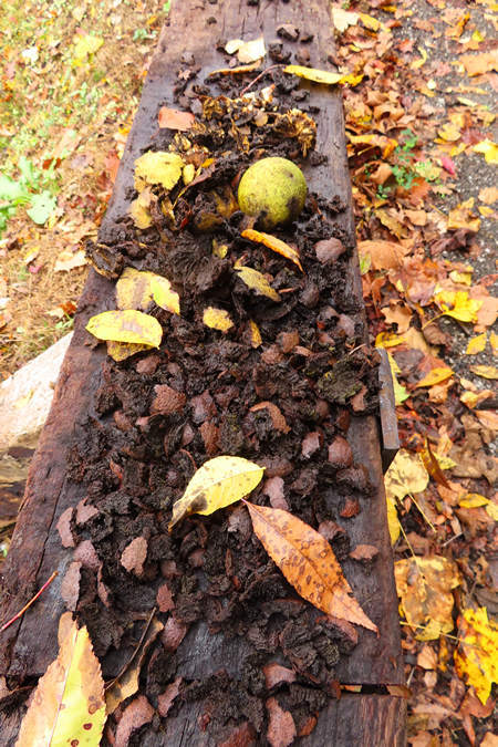
Here we have what I call a squirrel smorgasbord. They have been feasting on the black walnuts.
For weeks Betsy and I had been watching the squirrels at home working on the nuts from our two large black walnut trees. This brought that to mind.
We saw a number of plants of the Maiden-hair fern which were looking a little worse for wear by now.
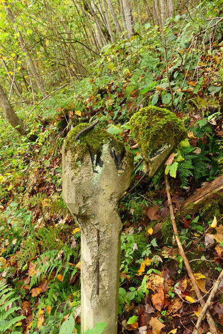
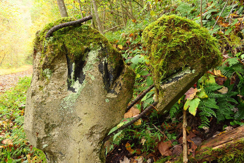
This moss covered and battered whistle stop monument has seen better days but it is a nice bit of history to have left in place.
There were some spectacular sourwood trees at the peak of color.
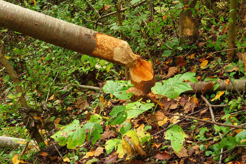
Not unexpectedly we saw signs of beaver activity. I would imagine they find the aromatic twigs and bark of the black birch quite tasty.
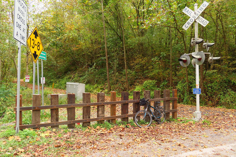
Here we are at the Ivydale crossing. The signals were still intact which is a real bonus for Rail-Trail fans like Peggy and I.
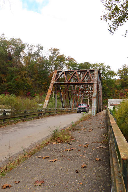
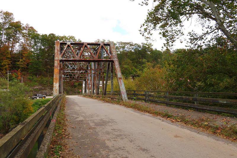
I love these old steel bridges.
Unfortunately this one, like so many before it will be coming down soon. We saw a work crew there doing seismic studies to determine the most stable point for the pillars of the new bridge.
This creative use of both old and new materials brings to mind the tracks which once lay here.
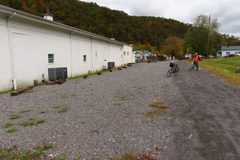
The Lighthouse Baptist Mission church appears to be doing double duty as the Ivydale trail head parking area.
The rear of the Lighthouse Baptist Mission church.
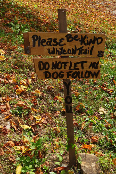
We saw a number of loose dogs in Ivydale which always make me a bit nervous as I have been bitten twice by "friendly" dogs.
Photo: Peggy Pings
By now the clouds were breaking up a bit and we were soon shedding a layer.
Our turn around point was about a mile and half south of Ivydale.
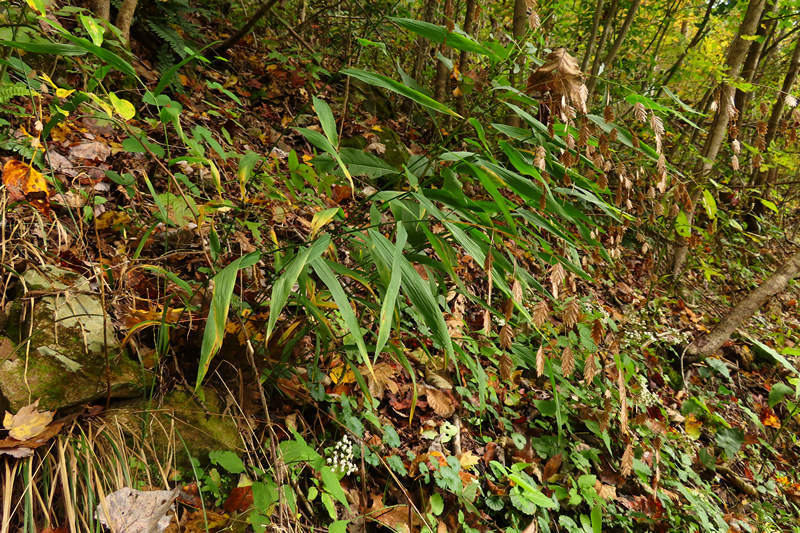
Our "mystery plant" for the day.
UPDATE:
Several people emailed me with the ID for this plant.
The plant in question is Chasmanthium latifolium which is know by various common names: woodoats, inland sea oats, northern sea oats, and river oats.
It reminded Peggy of some type of bamboo.
Can you tell us what it is?
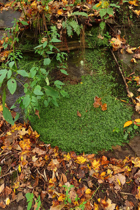
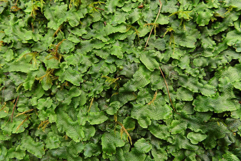
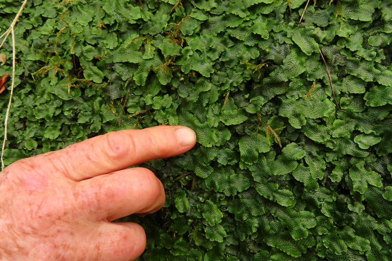
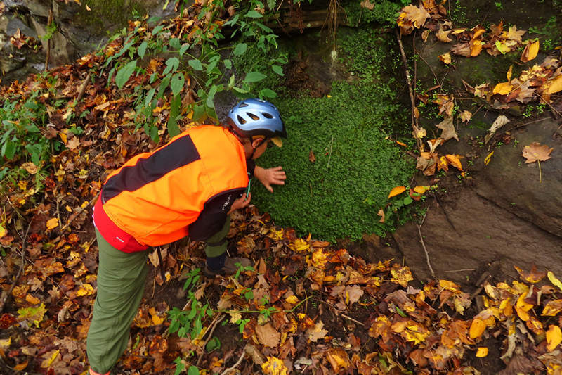
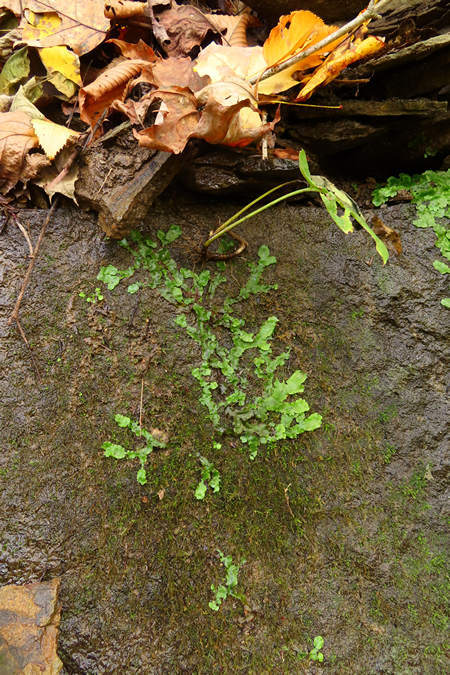
Some sections of the dripping wet exposed sandstone were plastered with liverworts.
Liverworts are kin of mosses - they are non vascular plants which reproduce by spores, and of course vegetatively as seen here.
Peggy steps in for a closer look. She was unfamiliar with these interesting plants.
This patch is just getting a start.
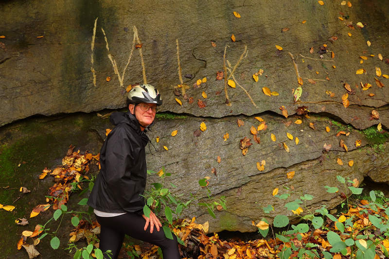
Someone must have know I would be here today!
It is difficult to make this out but this is photo of a horse hoof divot. These can make an otherwise pleasant ride miserable.
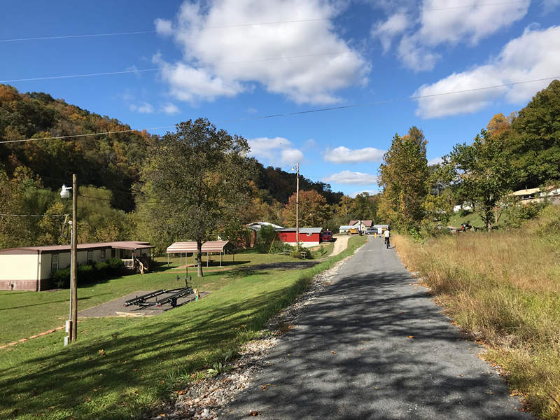
Photo: Peggy Pings
By the time we were finishing up our ride it was clearing off and warming up nicely.
Last shot of the day - old RR ties given a second life.
When we got back to the Duck trail head Peggy and I chatted for a bit and then said our Good-byes. Peggy would be heading north back to Morgantown and I would we heading south in search of a hotel and some supper.
A few miles down I-79 I stopped at the Elkview exit for some ice to keep my beer and milk chilled. I saw no one wearing a mask and few were social distancing. I was counting the seconds until I could get out of that place!
I then started a hotel hunt via my phone and settled on the Knights Inn in Charleston. The price was right and it was 10 minutes away from a Wendy's where I new I could get a half decent salad for supper.
I got a room with a sunny view and sat with a beer soaking up the last few rays of warmth. I texted Betsy all was well before heading off to get my supper.
I then spent the rest of the evening going over the maps and watching "Addams Family Values", which it always a hoot.
Bed at 8:30 and all was quiet throughout the night.
⋄⋄⋄⋄⋄⋄⋄⋄⋄⋄⋄⋄⋄⋄
14 October 2020
Part 2: Charleston WV to Bowling Green KY
PBP, Deep Hollers and a lovely Daisy
When I left Charleston I found my way to US 119 South, AKA Corridor G, AKA Pork Barrel Project Highway, AKA the Highway to Nowhere. Well, actually it does go to Kentucky, but why I am not sure.
After driving this nearly deserted 81 miles of road from Charleston to Williamson I was wondering what astronomical cost was involved in building it, and what possible justification there could have been.
None needed! It is pork, plain and simple.
There was scattered fall color with occasional standouts like Sourwood and Sumac and the light traffic on 119 made it a pretty pleasant drive.
This is very rugged terrain through Boone, Logan and Mingo counties and the hillsides are steep and the hollers deep. Can you hear the banjo in the distance?
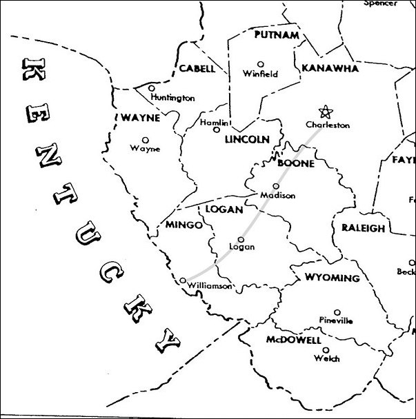
The route runs right through West Virginia's "Southern Coal Fields" and the formerly prosperous towns of Logan, Madison and all the others. Prosperous no more. I saw abandoned coal processing plants and loading facilities as well as signs for Auctions of coal mining equipment. Hard times in the coal fields to be sure. But it 'twernt "Obama's War on Coal" that caused it but the unrealistic and backward thinking energy policies of our "Leaders" who brought the house of coal tumbling down.
Even the Mighty Trump could not revive the corpse of coal, in spite of all his promises which came to naught. Just as well. As the Mountain Poet Joe Gatksi said: "Coal is a Curse".
Polluted water, polluted air, polluted and ruined bodies, thousands of acres deforested and the mountain tops leveled - all to fill the coffers of the Coal Barons and their bought and paid for politicians.
Good-bye coal, and good riddance.
Charleston to Williamson, and then you cross into Kentucky and more of the same: Coal Whore Governors and Senators lining their pockets all in the name of helping the working family. Pathetic.
Ok, ok, ok, enough of this gloom and doom!
As I drove in the direction of Pikeville KY I took a sharp turn north onto US 23 and then picked up SR 80 which I would be on for many miles.
When I passed the sign for Hazard my thoughts turned in a different direction to that of the Duke Boys and their sister Daisy. Although this was not "Dukes of Hazard" territory of TV fame I always think of them when I see Hazard, Kentucky on the map.
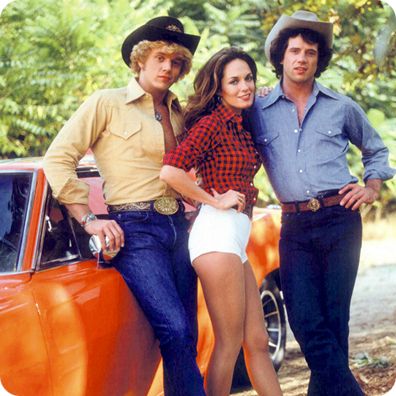
The Duke Family: Bo, Daisy and Luke

I always liked Daisy the best. And who would have thought those HillBilly cut-offs would become a fashion item which would be known as "Daisy Dukes"?

Yep, those Itty-bitty Daisy Dukes are still popular with some of the ladies all these years later. And they are sure popular with me! Callipygian, wouldn't ya say?
I said good-bye to Bo, Daisy and Duke and headed west on the Google selected route. This did not turn out as hoped as most of the roads were busy with local traffic but there were occasional streatches of very little traffic and nice scenery. Some forest areas, but also lots of large scale acriculture and of course some big horse farms. Maybe I should have stuck to my tried and true routes on this trip. But then I wouldn't have been able to visit with Daisy!
I arrived in Bowling Green just in time to get the last of the sun for my solitary happy, sitting on my cooler in the Super 8 parking lot drinking a beer.
Life is good.
Soon I will be in Missouri.
⋄⋄⋄⋄⋄⋄⋄⋄⋄⋄⋄⋄⋄⋄
16 October 2020
Part 3: Spring time in Van Buren MO
I think it is safe to say the word "karst" is not in common usage amongst the general population. I can think of two kinds of people who might use this word on a regular basis: geologists and cavers (aka spelunkers). Sometimes they are one and the same, sometime they are not.
What is karst?
Landscape underlain by limestone which has been eroded by dissolution, producing ridges, towers, fissures, sinkholes and other characteristic land forms.
Source: Oxford English Dictionary
Before 1980 the word karst was not in my vocabulary. How did I become "karst aware"? Enter one Terry Nebel.
I first met Terry as a camper at Oglebay Institute's Junior Nature Camp. Terry stayed a camper long enough to eventually become a counselor. By that time Terry was that age - college age. He enrolled at West Virginia University and was a Freshmen in 1979.
I lived in Morgantown so Terry and I saw each other now and then. At some point he told me about a caving club he had joined - the WVU Student Grotto. He told me caving was fun and I should give it a try and then told me about the next Grotto meeting and I should go. I did.
Enter Geary Schindel, geology student, caver, rock and ice climber. He was at that Grotto meeting and I think he was El Presidente or soon would be.
Long story longer I joined the Grotto and was soon going on my first caving trip. It was to Crabtree Cave in nearby Garrett county Maryland. It did not go well. The trip leader go us lost and could not find the cave exit. I was not happy about this. In fact I was scared. The leader and another fella set about going this way and that trying to find the right route out. We sat and waited. Like most caves it was dark and cold and wet. I did no relish the idea of spending who knows how long in the bowels of earth hoping someone would come in and find us.
Such melodrama! The way out was eventually found but that did not stop me from giving the leader a piece of mind about being unprepared and careless.
That trip and that cave made a big impression on me to the point where it was not long before I taking groups through Crabtree Cave and I have lost track of how many times I eventually went though that hole in the ground.
There were many other trips to other caves as well and by now Geary realized I was "serious" about caving and recruited me, along with others to go on a mapping trip of Roppel cave in Kentucky. This was an epic trip - 17 hours underground.
Well as you might guess what with all the time Geary and I spent together he would drop the "k" word now and then and suggested I buy a book about it that the Grotto members were getting a deal on and did I want one. OK. Why not? Soon I was the proud owner of Marjorie Sweeting's "Karst Landforms". A book I have paged through many times since I acquired it in 1980. The book is now out of print but there are lots of used copies out there.
So there ya have it. If Terry had not gotten me to a Grotto meeting and if Geary and not encouraged me to continue caving and teach me a little geology in the process and karst may never have entered my life. I can't imagine what that would have been like as I would have missed so much.
Geary and I have kept in close touch all these years and once in a while he suggests someplace I might want to check out on one of my trips. These places are always karsty. And so it was I got an email from him with several suggestions about places to visit on this trip and I decided I would take him up on it.
Being a Karstophile Geary has been all over looking at karst land forms and I doubt there is an area of the country I could travel to where Geary would not say: "Hey, you should check this out while you are there".
And so when he saw Van Buren, Missouri on my route he had another "Hey, you should check this out while you are there" for me and it was a doozy!
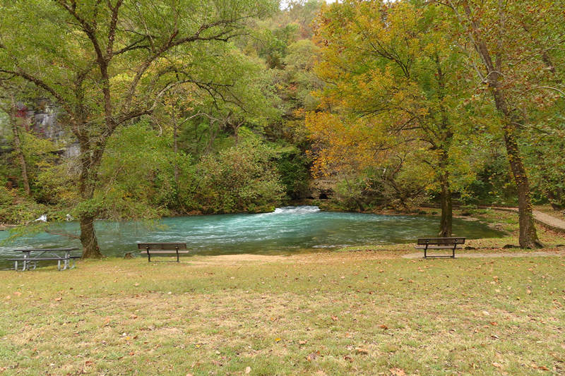
Read a little bit about this amazing place called Big Spring.
Big Spring was one of Missouri's first state parks. It was a state park from 1924 until 1969 when the people of Missouri donated it, along with Alley and Round Spring State Parks to the National Park Service to become a part of the Ozark National Scenic Riverways. A gift from Missouri to America.
The Big Spring is sometimes called America's biggest spring. In reality there are three contenders for that title: Big Spring, Idaho's Snake River Spring Complex and Florida's Silver Spring. Since the flow from springs varies with local rainfall, any of these three might be biggest on any given day depending on the weather in Missouri, Idaho and Florida! The truth is they are all about the same size.
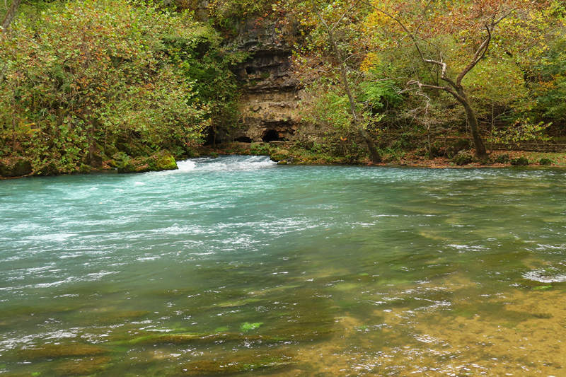
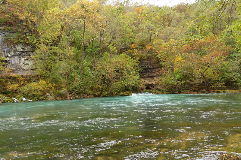
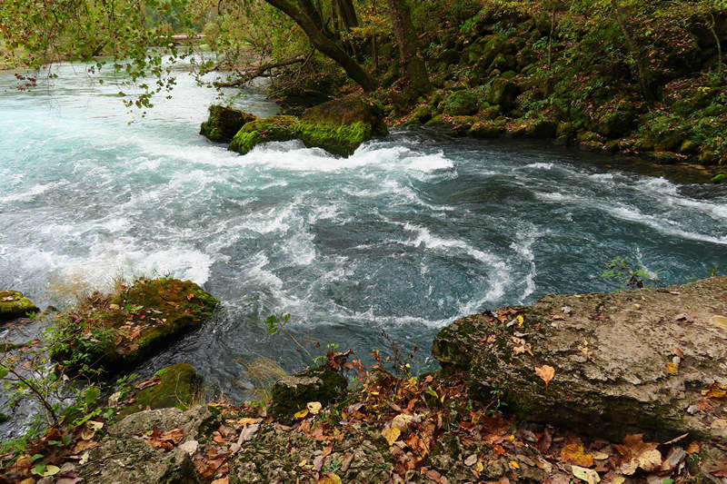
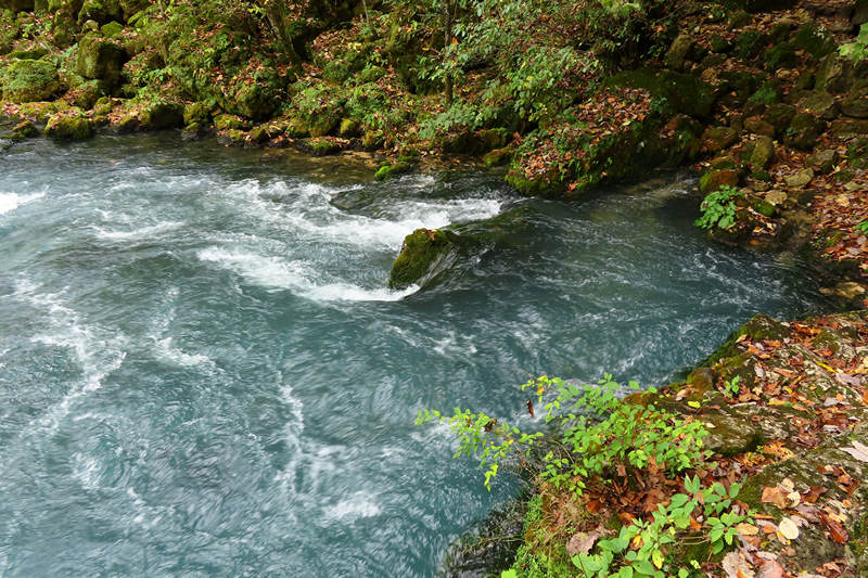
In any case, at an average daily flow of 286 million gallons of water, Big Spring is an awesome sight and a geologic wonder. Underground passages carry water from as far as 45 miles away to emerge at the spring. Studies have shown that the water is carrying a load of dissolved limestone equivalent to 70 tons a day! This dissolved rock gives the spring its color and is also carving out a huge conduit underground. Should the spring ever go dry, a huge cave will be the result.
Source: National Park Service.
I did not arrive in Van Buren until about 2:00. I first did the hotel hunt. I saw two old derelict mom and pop hotels that I regretted were closed. The were small and nicely placed.
I then saw the Current River Inn. Although it was overpriced and had seen better days I wanted to get a place so I wouldn't have to worry about it later. Little did I know the place had such slow WiFi that it was just about useless. My phone was faster. Glad I paid for that.
I unloaded some stuff and then headed out to Big Spring National Park which was less than five miles away.
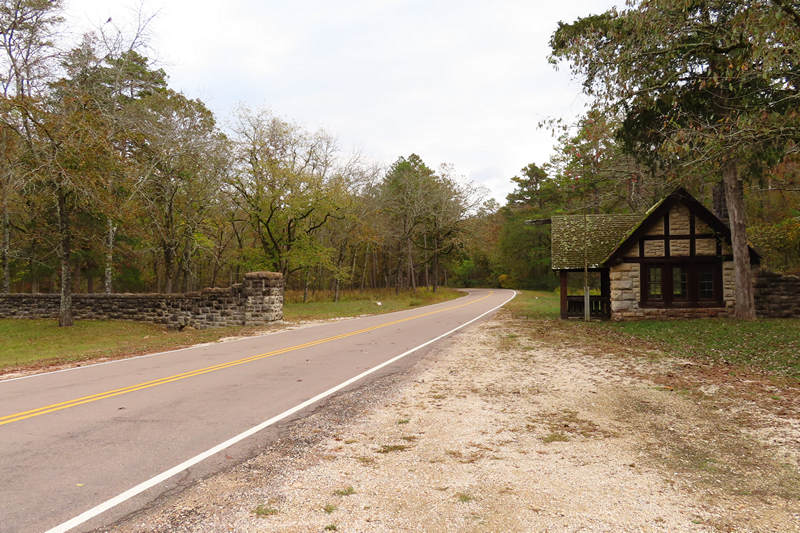
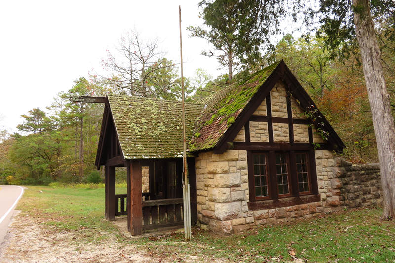
As soon as I arrived at the entrance I knew I was in for more than a tasty karst treat. I had not realized that Big Spring was a full blown resort park and the CCC had built all the structures as well as walls walks and steps.
This is classic National Park and CCC architecture.
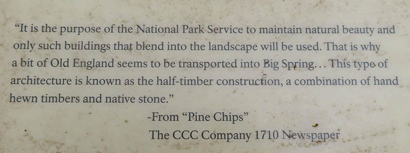
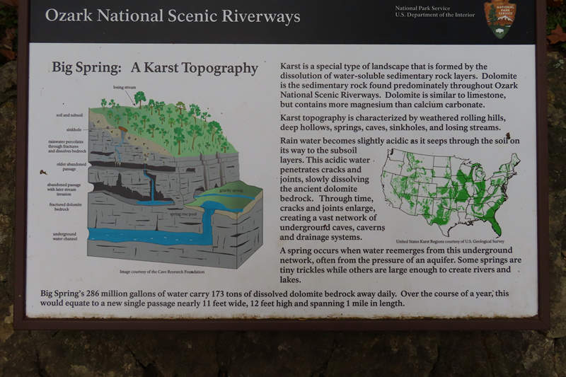
This is from one of the signs near the dining hall and lodge.
Click on the photo to better read the explanation.
My first look at Big Spring. On this cool and cloudy day I pretty much had the place to myself.
These photos in no way convey the amount of water that is pouring out of this hole in the limestone.
There is a walkway which allows one get up close and personal with this gusher.
F*kin' amazing!!!
I took a couple of short videos of the spring and they are here.
Of course there was more to see than this mighty resurgence. Ferns!
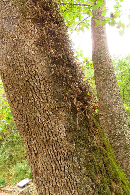
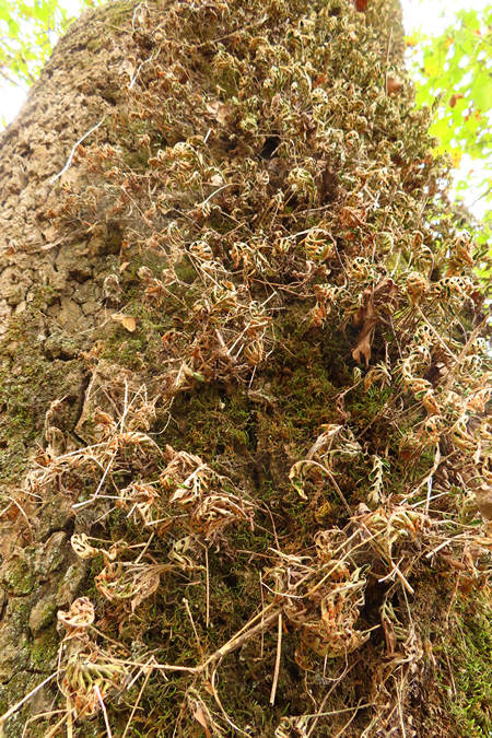
Here we have some resurrection fern so called because it curls up and looks dead when it gets dried out.
But, with just a little bit of rain they will expand their parched fronds and look quite alive again.
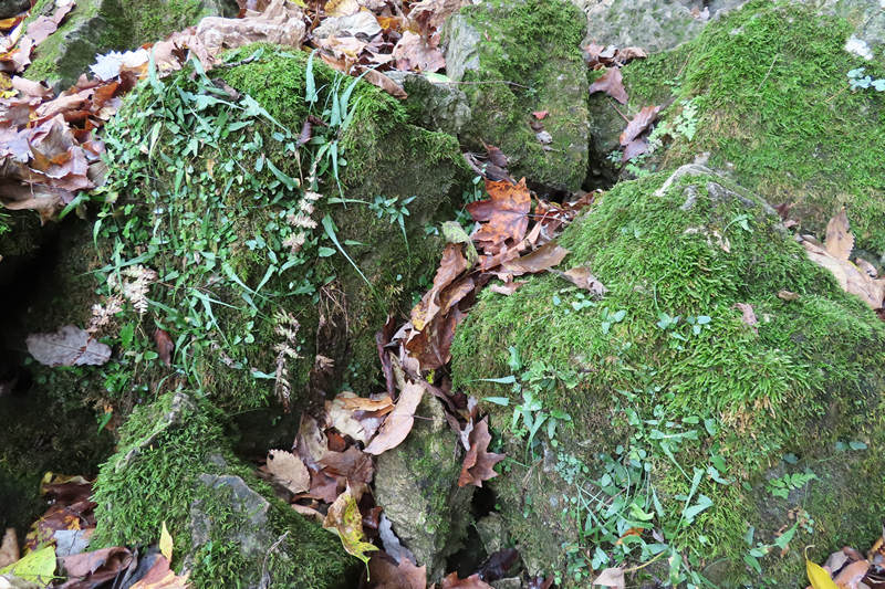
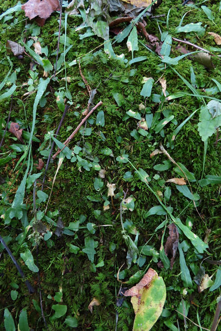
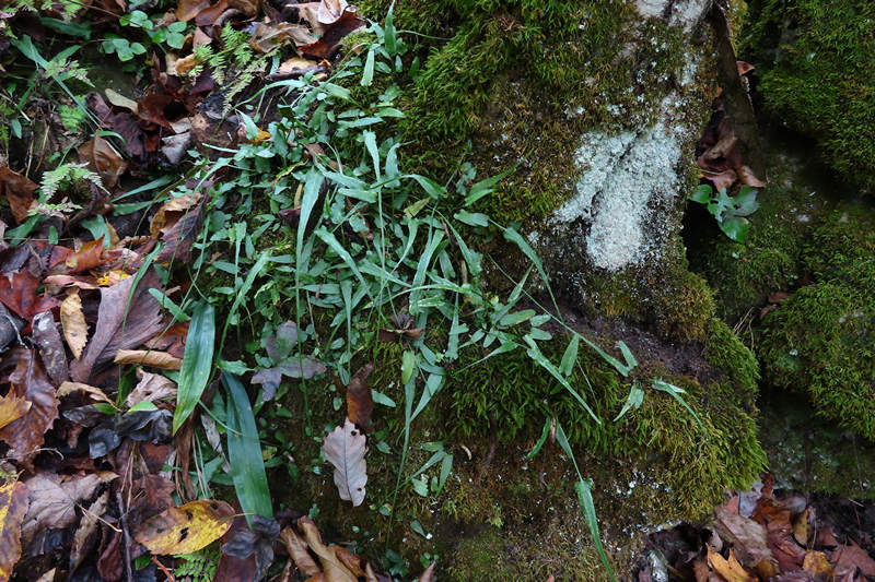
There was lots and lots of walking fern growing on the moss covered limestone boulders.
This is an unusual looking fern what with it's long skinny fronds coming to a sharp point.
And those pointy frond tips will sometimes root and grow a new plant at the tip which will "walk" down the boulder or rock face. That is why the walking fern is said to have proliferous tips.
The path crossed over the resurgence to the other side of the spring flow. This is looking back from one of the sets of stone steps so nicely placed by the Civilian Conservation Corps (CCC) craftsmen.
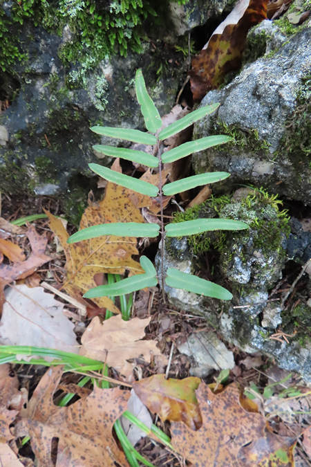
Also growing on the limestone rock face and boulders were the bulblet bladder fern. It is another limestone loving fern and only grows on calcareous substrates such as limestone or sometimes soils surrounding limestone rock.
Another lover of karst! This is the purple cliffbrake. This fern is apogamous and has the ability to reproduce non-sexually. Doesn't sound like much fun to me!
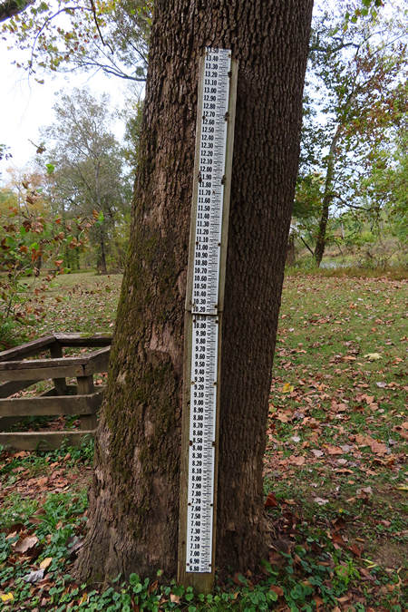
The path continued over to the lodge and cabin area. This flood gauge was near the banks of the Current River which the Big Spring resurgence flows into.
The old lodge and dining hall has seen better days. There were a group of people there with clipboards and cameras taking notes on all the structures, stone walls, steps, ect. Hopefully some restoration is planned in the not too distant future.
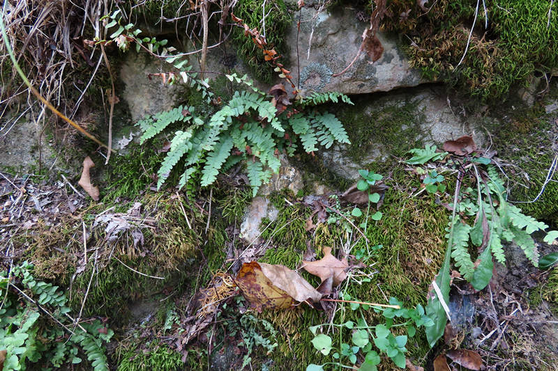
Speaking of stone walls, I spotted this ebony spleenwort looking quite at home on the low retaining wall near the lodge.
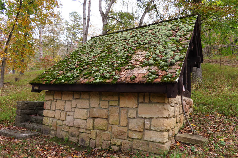
I could not figure out the purpose of this building but I thought roof was amazing - in a rotting decadence sort of way.
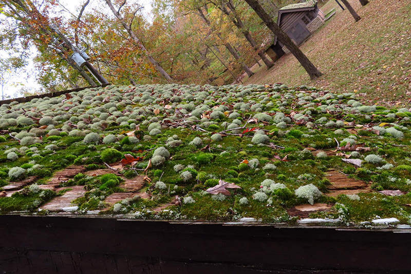
I think that is reindeer lichen growing with the moss. It makes quite the attractive roof ornament.
The ragged edges of the shingles caught my eye. Snap, snap...
Another old beauty.
My mom loved Nat King Cole and we all grew up listening to his songs. This one is a particular favorite of mine.
I walked on up the hill to look at the cabins. There are 15 of them. 15 CCC built beauties.
I love these arched rafter supports. Style and grace.
Another fern. Lucky me. This is the resurrection fern but this one is still nice and green, not brown and dead looking like the ones we saw before.
Tomorrow I have something different planned which does not involve ferns and karst and water.
The last shot of the day. The Current River looking back towards Big Spring.
⋄⋄⋄⋄⋄⋄⋄⋄⋄⋄⋄⋄⋄⋄
15 October 2020
Part 4: Frisco Highline Rail Trail - Bolivar and Springfield MO
When I originally started planning this trip from Morgantown to Tucson I knew my first stop would be the new Elk River Rail Trail in Clay County WV and I was hoping to find some other rides along the way to get me out of the van into the country side.
While doing some searches for places along my route I came across the website for the Ozark Greenways and it was there I found out about the Frisco Highline Rail Trail which follows an old RR route from Bolivar to Springfield.
The Frisco Highline Trail is a scenic path through southwest Missouri’s past and present. Missouri's own Harry Truman road the Frisco Highline. A lot has happened here since back in 1948, when Truman rode the 35 miles from Springfield to Bolivar and back in his private railroad car, warming up for his famous “Whistle Stop Campaign" that would get him re-elected as President that year. The tracks are gone now, the old stations have been torn down, and the wail of the steam whistle has been replaced by bird songs.
And yet, some things haven’t changed much at all! Wheels still spin on this route—only today they’re bicycle wheels, roller bladers, or wheelchairs. The route still winds through woods and pastures, crossing 16 railroad bridges on its way across Greene and Polk counties.
Source: © 2020 Ozark Greenways
It was the second paragraph above that caught my eye. 16 railroad bridges!
Now I wanted to know more. I downloaded the trail map to have a closer look.
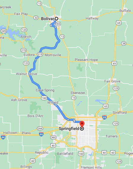
After looking over the Rail-Trail map and some Google maps it looked like if I stayed in Bolivar I would only be a short distance from a trail access point where I could then ride to Walnut Creek and back and cross all 16 bridges. The mileage would be about 32 miles round trip which I knew would not be a problem on a Rail-Trail ride. Or so I thought...
As you may remember, the previous day I took you on my tour of Big Spring in Van Buren MO. This is about a 3 hour drive to the east of the Springfield/Bolivar area. I figured if I got an early start and left Van Buren at 6:00 am I would have time to find a hotel and then get on the trail and be back just in time for Happy Hour.
My search for lodging in Bolivar turned up three hotels clustered next to each other which were all just a 10 mile drive to the access point for the Frisco.
I pulled into the parking lot of the middle hotel and started calling for rates:
Comfort Inn: $80.00 Ouch!
Super 8: 109.00 Ridiculous!
Sitting between these two hotels was an older style place with lots of work trucks in the parking lot and a few vans which were stuffed full of what looked like all of someone's worldly possessions. Hmmm... this place just might do.
I parked the van closer to the front of the place and started walking towards the office door. Before I even got inside the sweet smell of curry wafted by. Bingo!
Sure enough the Country Inn was a "Patel Motel" and 55 bucks would get me a room for the night.
I got checked in, unloaded a few things and changed into my bike clothes. Fortunately I had my cycling leggings as the temp was in the 40s and I had recently driven by frost covered fields. 15 minutes later I was at the "trail head" for the Frisco.
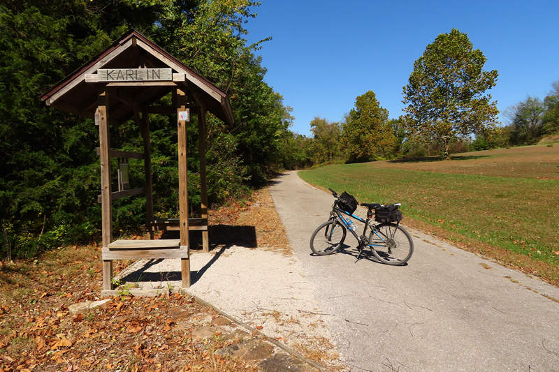
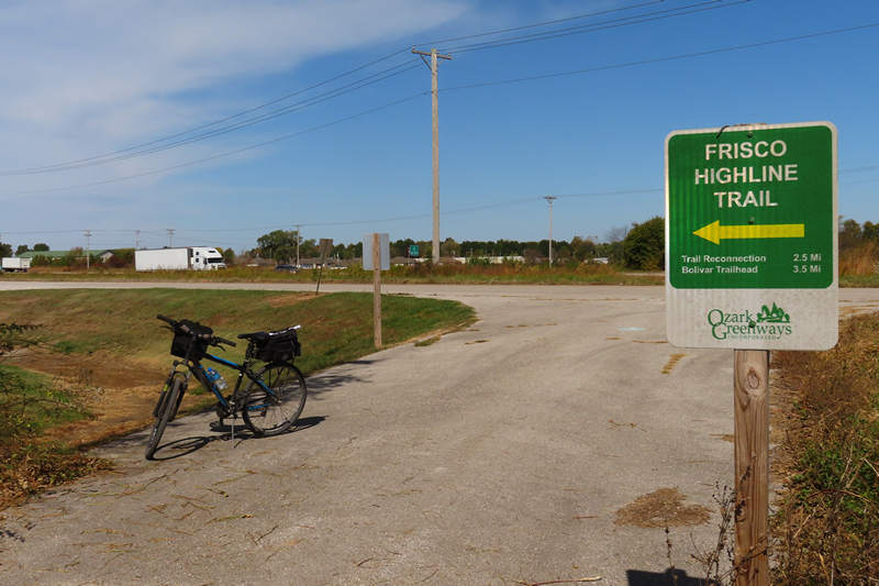
There was no official trail head for the Frisco for the section I wanted to ride so I decided this would be the perfect spot.
History of Mt. Wenceslaus...
Karlin is (was) a small railroad town in a Bohemian settlement. It was originally called Treemont, but when the seven sons of Francka arrived, 1890-95, they changed the name to Karlin in honor of a city in extreme northern part of Borhemia.St. Wenceslaus in Karlin, was established in 1904 and was placed on the inactive list in May of 1965 because of a shortage of priests to staff all the churches and missions in the Diocese.
Source: https://www.FindaGrave.com/
Karlin is no more but if you are interested in finding out more about this whistle stop community I suggest this interesting article: Remembering the Bohemian community of Karlin.
When I arrived at St. Wenceslaus Cemetery it was still nice and sunny and it looked like it was going to be gorgeous day. I got my bike off loaded and my gear in order and rolled down the hill from the cemetery to the road and onto the Frisco.
The Cemetery can be seen upper right. The first several hundred feet were paved and then it turned to "compacted crushed gravel".
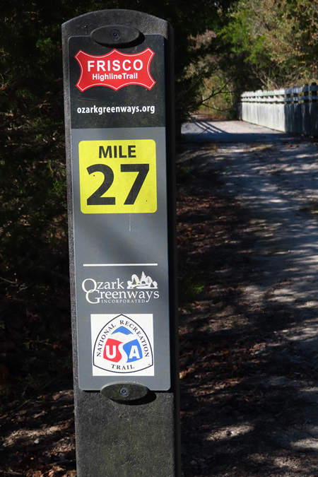
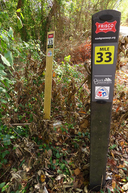
Here you can see the transition from paved to stone and also one of the nice mile markers.
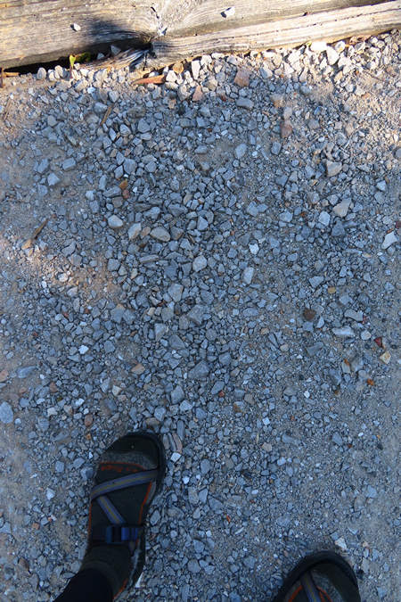
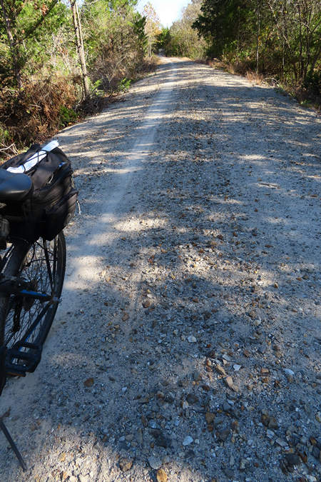
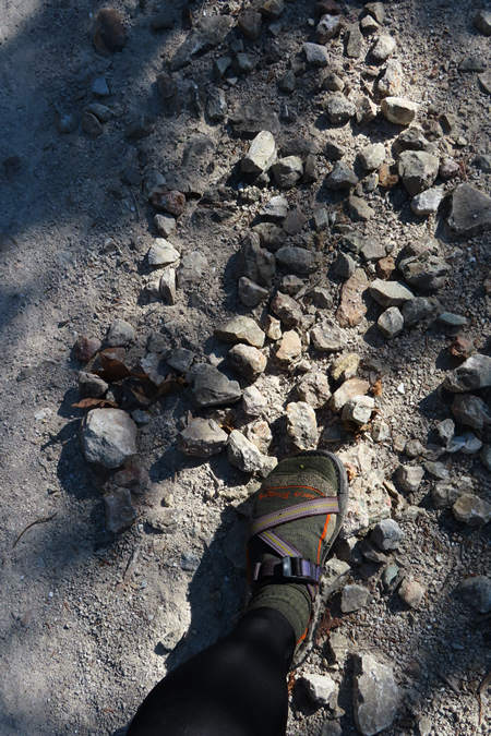
Almost immediately the stone section got worse and worse. Loose gravel and some pretty chunky gravel which made for very uncomfortable riding.
This section was in such poor condition there was only a single track which was fit for riding. Another section was so eaten away by ditch erosion the trail was only about 6' wide with one side having a gullied out ditch line.
This would bring you down fast! I was very disappointed to see the surface in such a primitive state.
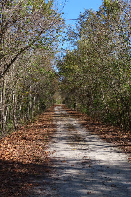
Here is one of the smoother sections - there were several but they didn't last.
I wish the riding surface had been as classy as the mile markers!
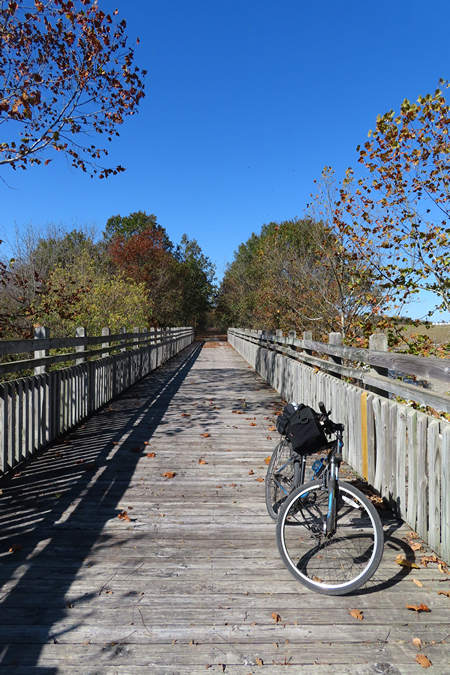
One of the 16 bridges of Polk county.
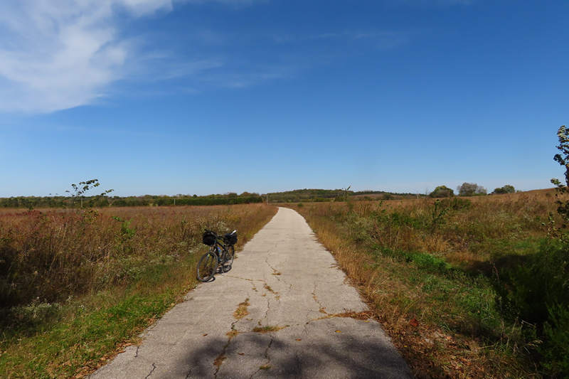
I finally realized the surface was not going to improve and after just 5.5 miles I did an about face back to the highway intersection. 11 miles instead of 32. Had I done those 32 I would have been beaten to death.
Had I been on my trike I would have turned around much sooner.
 The Highline Bridge. Photo from the Ozark Greenways website.
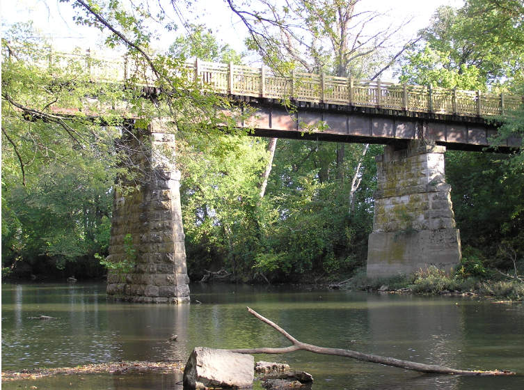
The Little Sac River Bridge. Photo from the Ozark Greenways website.
This seems like a good time to share a little information about the rail road line which owned and operated the Frisco and the source of its name.
The Frisco Highline Trail is named after the St. Louis-San Francisco Railway’s former corridor between Kansas City and Springfield. This particular route was its secondary line between those two points, and at one time the railroad owned as many as three! Also known as the “Frisco,” the company was primarily located in the southern Midwest between St. Louis, Kansas City, Tulsa, and Dallas/Fort Worth. However, it also stretched into North Texas and even reached the Northern Panhandle of Florida. The road suffered several bankruptcies throughout its corporate existence, but during its final years was rather profitable until acquired by the Burlington Northern. The so-called High Line was abandoned in stages between the late 1970s and early 1990s.
Read more at TrailLink.com
From the Bias magazine May 25, 1954, page 12.
Last Run. Long time ago, Frisco tradition has it, an impatient traveler (Kansas City to Springfield) on a hot summer day grew weary of the frequent stopping of a friendly little train. Dismounting at the station here, he observed to one of the crew that the line he'd just travelled was "high, dry and dusty" and that moment, the "High Line" received its name.Actually, the name never had been particularly appropriate, for the High Line traverses some of the wettest country in these parts when rains are normal. Frisco old-timers tell of an engineer who ran his engine through water so deep his engine's fire was extinguished. He drifted to higher ground, rekindled the fire with brush from the adjoining woods. And there's another story of an engineer who piloted his train over the softened roadbed and as the last car crept over the danger spot, ties and rails disappeared in the mud.
Read more at https://thelibrary.org/
After making my way back to my starting point I crossed the highway and headed north on the paved section of the Frisco.
This is on the north side of the trail right near the highway crossing and just below St. Wenceslaus Cemetery.
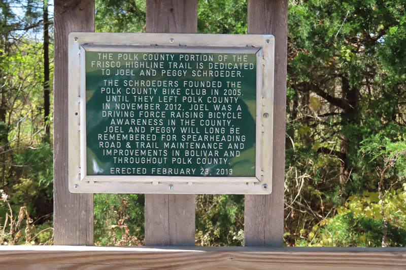
A very nice "Thank you" to Joel and Peggy Schroeder.
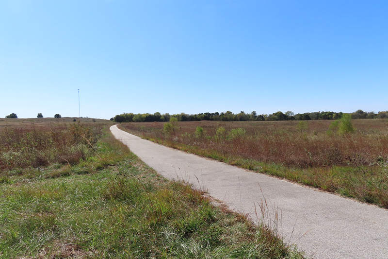
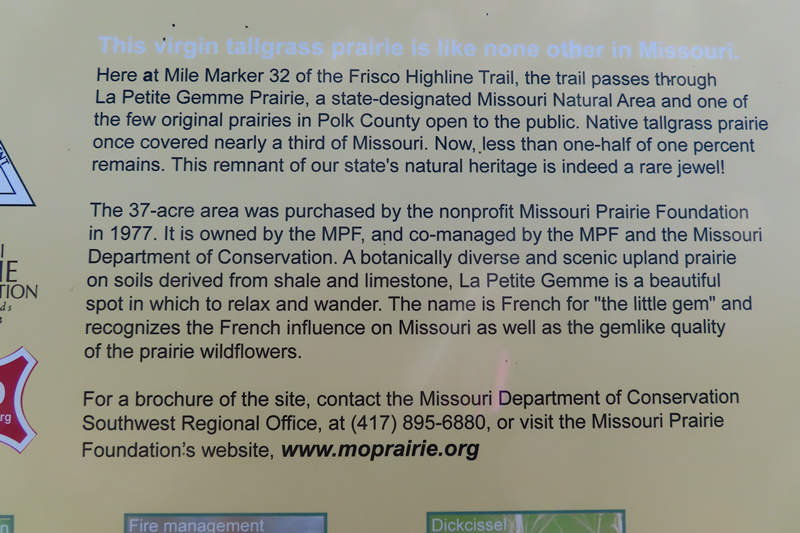
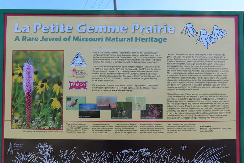
This section going north took me through La Petite Gemme Prairie, a 37 acre block of original prairie. At this time of the year it didn't impress. But I imagine all summer it was awash with lush vegetation and wild flowers.
The name is French for “the little gem” and recognizes the French influence on Missouri as well as the gemlike quality of this small but biologically valuable prairie. This prairie just south of Bolivar is part of what was once known as “three mound prairie” that ran south from Bolivar along what is today the Highway 13 corridor. The prominent hill on this prairie is underlain by limestone bedrock creating more alkaline soils. Most prairies developed from limestone derived soils have been converted to row crops or tall fescue pasture. As you can see, housing developments from nearby Bolivar frame the horizon of the east boundary and are the latest land use change in this region.
Source: State of Missouri
This nice interpretive sign had lots of good information. If you click on the image you can (barely) read the text.
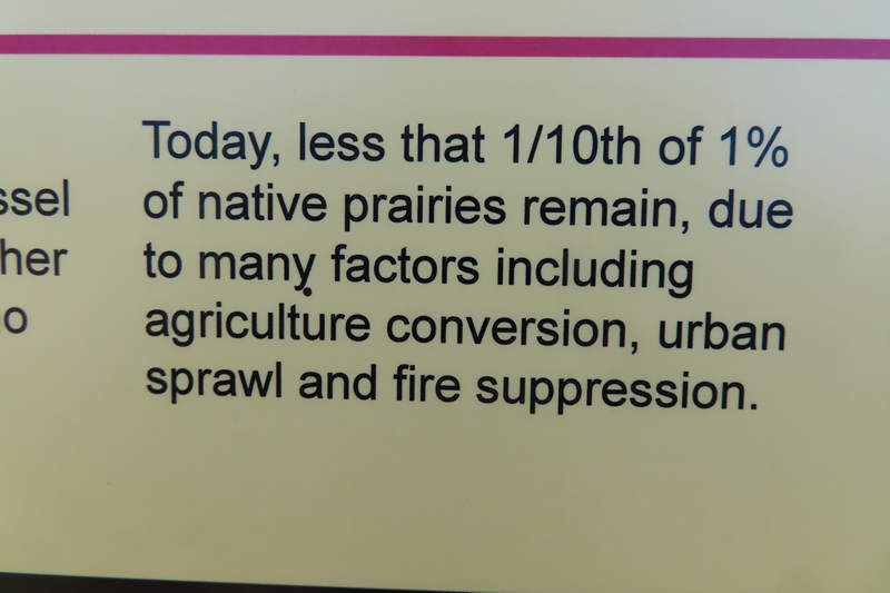
Depressing. One tenth of one percent out of 1000s of square miles of prairie.
That's all that remains.
The state of Illinois alone once held over 35,000 square miles of prairie so that will give you some idea of what has been lost.
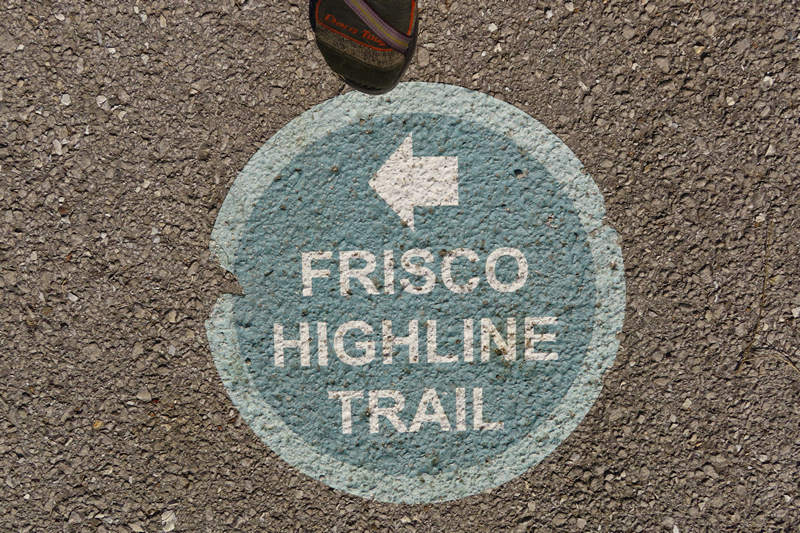
The end of the line. This marker points the way for the on street section in Bolivar.
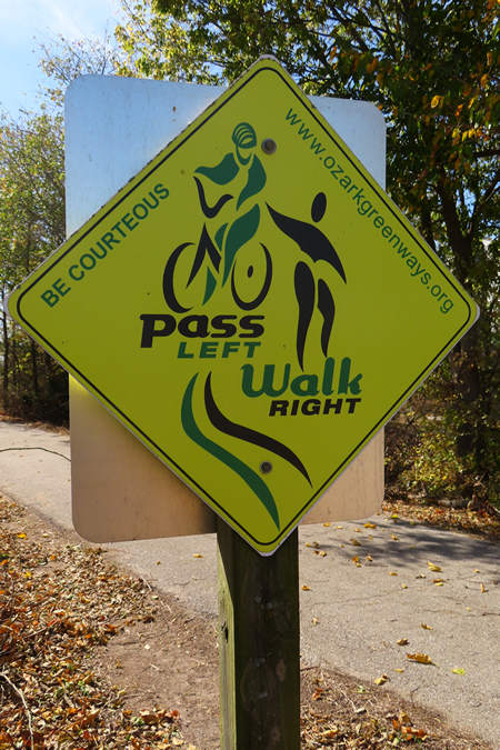
This graphic artist must have had one too many tokes!
Mile markers - the old and the new.
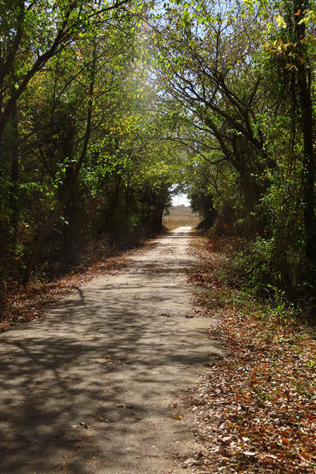
Looking south through the tree tunnel towards the La Petite Gemme Prairie.
Looking north through the La Petite Gemme Prairie. Like elsewhere it was crispy dry.
When I got back to the van at St. Wenceslaus Cemetery parking lot I decided to take a look around.
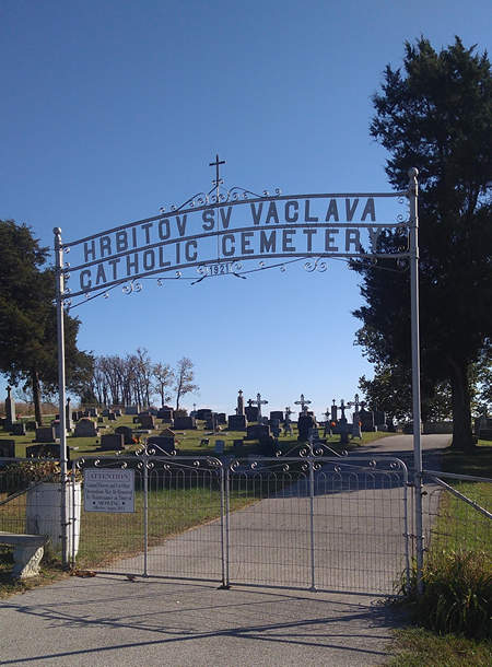
Hrbitov Sv Vaclava Catholic Cemetery 1921 is located in Karlin, Missouri.
Hrbitov Sv Vaclava translates into "St. Wenceslaus Cemetery". Karlin was a small railroad town in a Bohemian settlement. Originally it was called Tremont, but when the seven sons of Francka arrived, 1890-95, they changed the name to Karlin in honor of a city in the extreme northern part of Bohemia.
The post office was changed from Tremont to Karlin, circa 1903-04. (--Missouri Manual, 1903-1904, p. 458.)
The above quote confused me because "Hrbitov Sv Vaclava" translates into "Cemetery of St. Vaclav", not Wenceslaus.
Fortunately I have my own personal Czech to English translator in one Robert Hadac.
Robert had this to say about my confusion:
"... the translation is correct, Weceslaus is the English name for Vaclav. God knows why."! -RH
How is it I know Robert? I met him and his lovely significant other Steffi on a hike I was leading in the Tucson Mountains. We hit it off and became fast friends. Not only are they great company on hikes, they are both great cooks. Lucky us!
I asked Robert to explain how it was he new the Czech language and he had this to say.
I was born in the Czech republic and my parents fled communism when I was 18 month old to live in Germany. We didn't speak any Czech in the first years so it was easier to learn the language. When I was 4 my grandma came to visit and I wasn't able to talk to her so I learned the language and from that moment I also talked to my parents in Czech so I never lost it again. Funny how it goes.
Source: Robert Hadac
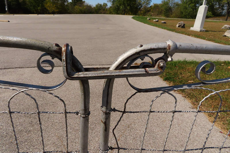
Being a hardware geek I appreciated this simple but heavy duty gate latch.
Here in this grave rests Anna Skalcka. Born on the 11th day of December 1906. Died on the 26th day of December 1909. Rest in Peace.
Source: Robert Hadac
There were quite a few of these what I took to be pot metal grave markers. I had never seen them before.
Pot metal (or monkey metal) is an alloy of low-melting point metals that manufacturers use to make fast, inexpensive castings. The term "pot metal" came about due to the practice at automobile factories in the early 20th century of gathering up non-ferrous metal scraps from the manufacturing processes and melting them in one pot to form into cast products. A small amount of iron usually made it into the castings, but too much iron raised the melting point, so it was minimized.
Source: WikiPedia
Gravestones:
When Charles Andera died in 1929, he left behind a unique legacy: the hundreds of ornate, distinctive cast metal crosses which mark the final resting place of Roman Catholic Czech Americans in no less than twelve states. His beautiful grave markers have been found in cemeteries from Prague, Oklahoma to Bohemia, New York; from Pisek, North Dakota to Halletsville, Texas. Almost exclusively, these monuments are in Czech Catholic graveyards.
UPDATE:
While doing some post publication research I found more information about the metal crosses in St. Wenceslaus Cemetery made by Czech artist, Charles Andera Sr.
Here are the links:
Genealogy Travel - The Drive for Knowledge
The Unique Cemetery Art of a Czech Immigrant
They are both interesting reads.
Like many old cemeteries there was an interesting mix of the old and the new.
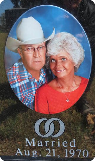
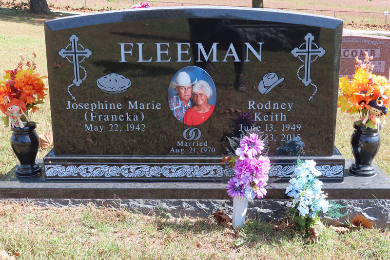
I imagine Franka must be missing her Rodney.
And with that I said good-bye to all my new found friends at St. Wenceslaus Cemetery and headed back to the hotel for another solitary parking lot Happy Hour.
That evening I made the decision to cut the trip short and two days later I was celebrating with my darling wife at the HillBillyHillton. Life is good...
See you later...
Mike
⋄⋄⋄⋄⋄⋄⋄⋄⋄⋄⋄⋄⋄⋄
Betsy's BONUS Trip Report
Springfield MO area (October 2017)
After several years of driving back and forth from West Virginia to Tucson, Mike and I decided that perhaps we were at the point where we would like to fly instead of making the long drive each spring and fall. Of course that would mean we would need one car in Arizona and one car in West Virginia. So 3 years ago in the fall we made the decision that we would each drive a vehicle and do our own separate road trips from West Virginia to Tucson.
I would be taking the northern route. I stopped first in Fort Wayne Indiana to visit my sister and brother-in-law and then it was on to stay overnight with my nephew Matthew and his family in Brazil Indiana. From there I would go on to Mark Twain's boyhood home in Hannibal MO.
My next likely stop looked to be around Springfield MO, so I went looking on the internet for interesting activities in that area and I stumbled across the Wonders of Wildlife National Museum and Aquarium, associated with Bass Pro.
At first I wasn't sure whether that was something I would enjoy because it is taxidermy displays and I couldn't really imagine how that could be very exciting, especially for the price, but the more I read about it the more interesting it sounded. This is how WikiPedia describes it:
"The wildlife museum presents a series of immersive wildlife galleries containing taxidermied animals from around the world displayed in elaborate and detailed dioramas representing a variety of natural habitats as well as historic artifacts, artworks, films and special exhibits."
Source: WikiPedia
So having made the decision to make the Wonders of Wildlife Museum my destination, I purchased my tickets online and booked a hotel across the road.
I can only describe my experience there as completely captivating. As I wandered from room to room I felt that I was wondering through actual places such as the African veldt, a Louisiana swamp or the Amazon rain forest, complete with sounds, lighting, animals and everything to make it seem like a real experience. I went to the museum once in the morning, went back to my hotel room to rest and returned in the afternoon for a second walk through. It was definitely a highlight of my cross country trip!
~~~~~~~~~~ BONUS Photo ~~~~~~~~~~
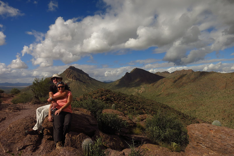
Robert and Steffi atop Krein Peak in the Tucson Mountains.

