Mike Breiding's Epic Road Trips: August 2023
Colorado
Rocky Mountain NP: Wild Basin
Hiking to the Falls of Ouzel Creek
Day 3: 15 August 2023
Colorado - Rocky Mountain Area
Rocky Mountain NP: Wild Basin
Hiking to the Falls of Ouzel Creek
Today Priscilla would be taking us on our first hike in Rocky Mountain NP. She had arranged for a timed entry permit for us and we arrived at the trailhead about 7:45. There were already quite a few cars but we found a parking space with no problem.
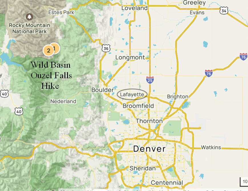
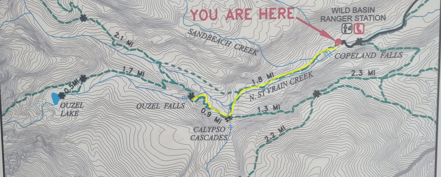
Here is our route today. You can check out the AllTrails route here. And here are the vitals:
Start El: 8484 Falls El: 9440
Total Length 6.31 mi
Elev. gain 1,020 ft
Moving time 3:20:21
Total time 4:23:14
08/15/2023 08:08 AM --Location: 40.207770° N, 105.566504° W
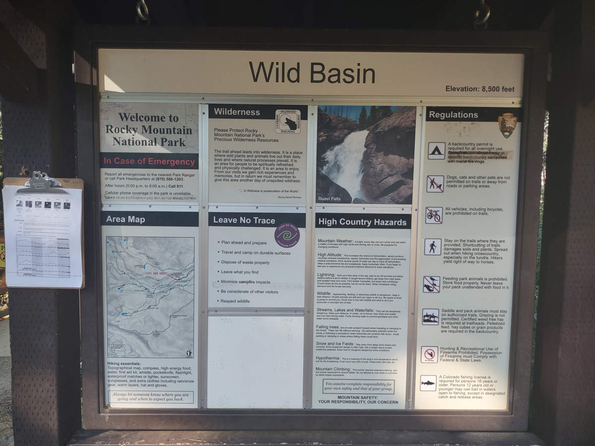
As you can see from the time stamp at the top of the photo we got started shortly after 8:00.
08/15/2023 08:09 AM -- Location: 40.207456° N, 105.566692° W
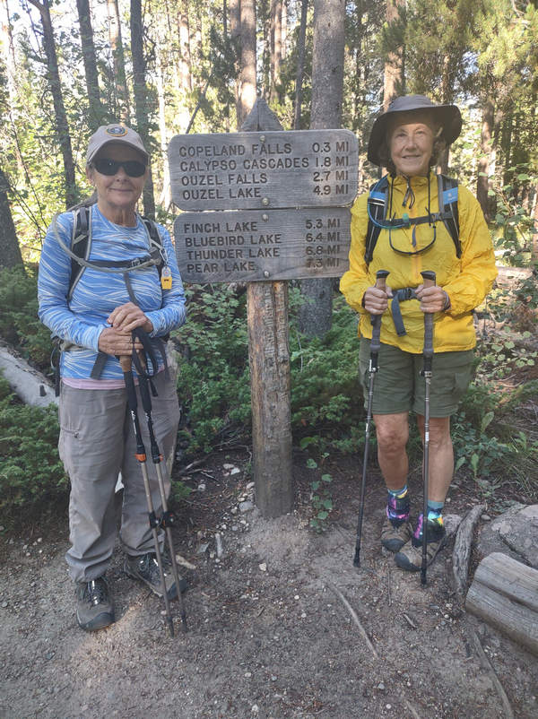
As you can see I will be in good hands today!
08/15/2023 08:10 AM -- Location: 40.207366° N, 105.566760° W
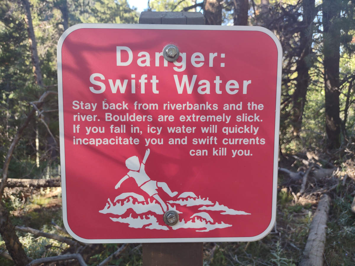
The route starts out following North St Vrain Creek and the water can be quite dangerous for the stupid.
08/15/2023 08:21 AM -- Location: 40.205029° N, 105.570877° W
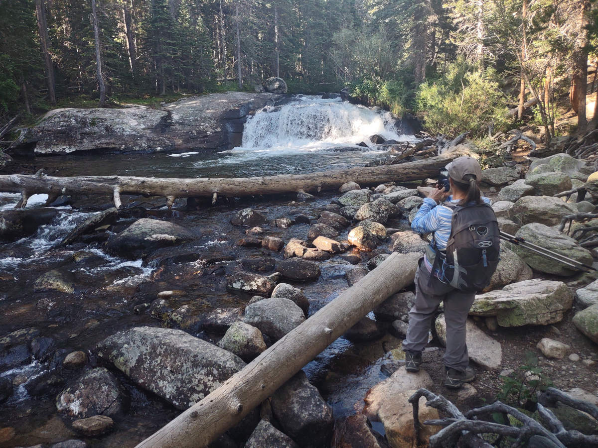
When the spring snow melt come the creek can move some pretty big trees.
08/15/2023 08:25 AM -- Location: 40.204831° N, 105.571568° W
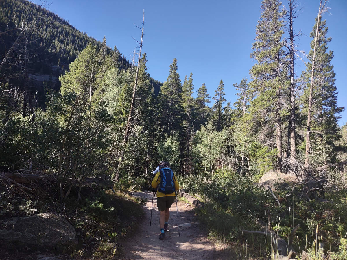
Into the woods we go.
08/15/2023 08:25 AM -- Location: 40.204656° N, 105.571642° W
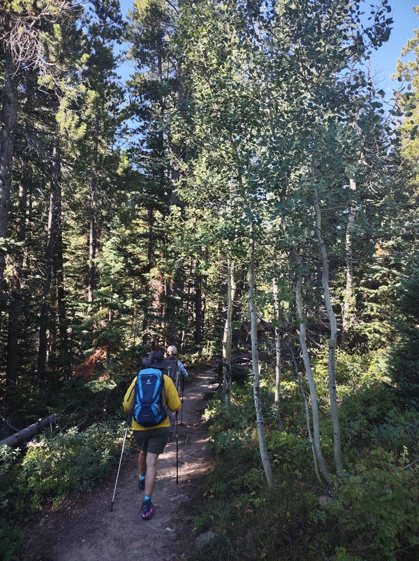
Those are trembling aspen on the left which will a glorious golden color in the fall.
08/15/2023 08:26 AM -- Location: 40.204290° N, 105.572002° W
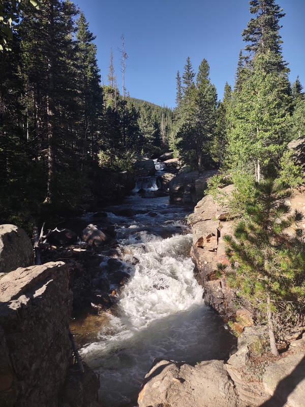
The water was indeed "swift".
08/15/2023 08:28 AM -- Location: 40.204222° N, 105.572114° W
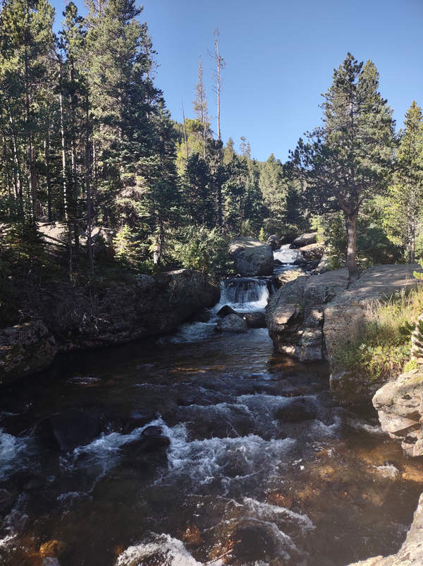
08/15/2023 08:28 AM -- Location: 40.204147° N, 105.572185° W
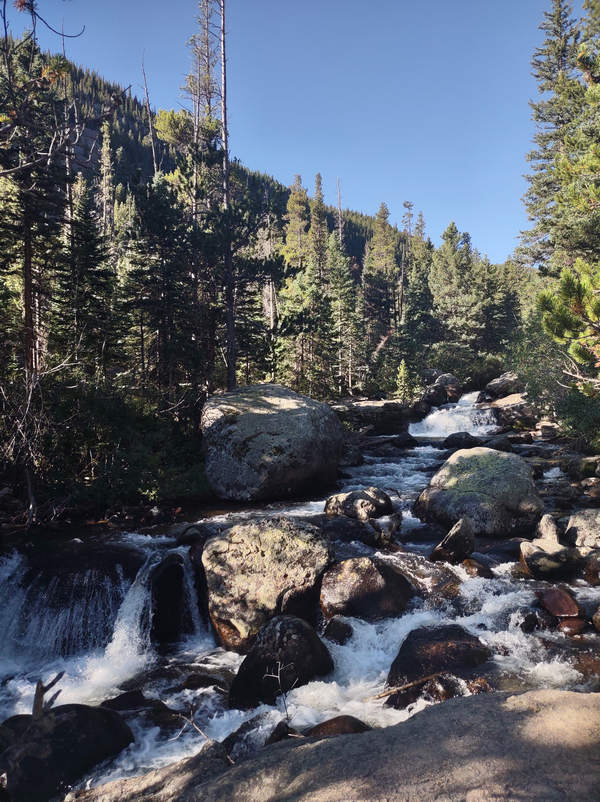
/p>
08/15/2023 08:30 AM -- Location: 40.204165° N, 105.572477° W
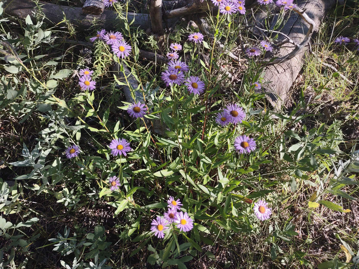
We saw this lovely aster along the sunnier sections of the trail.
08/15/2023 08:30 AM -- Location: 40.204165° N, 105.572477° W
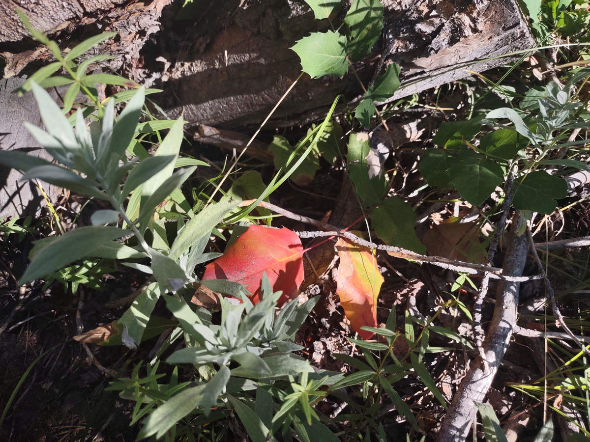
Mahonia plants were along the lowers sections of the trail. This one was showing a little color.
08/15/2023 08:33 AM -- Location: 40.203902° N, 105.573125° W
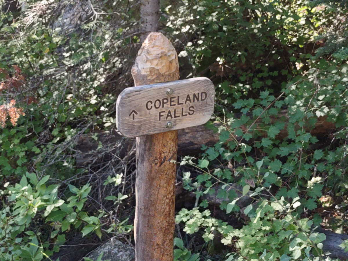
By 8:30 were had arrived at Copeland Falls.
08/15/2023 08:31 AM -- Location: 40.203888° N, 105.572575° W
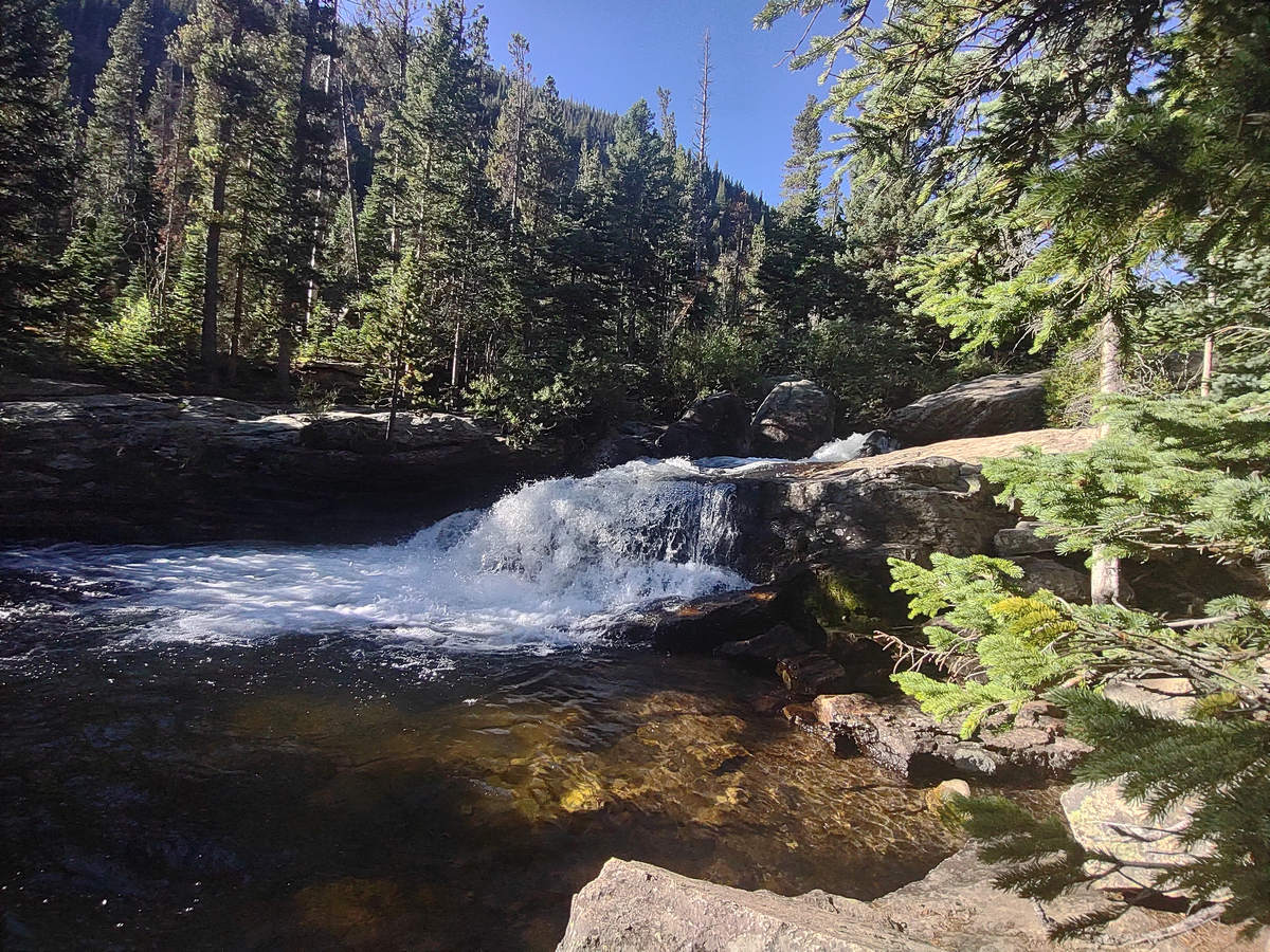
Not the most dramatic of water falls but it is very accessible.
08/15/2023 08:41 AM -- Location: 40.202809° N, 105.577601° W
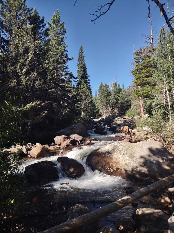
I took a lot of photos like this one - it was hard not to.
08/15/2023 08:46 AM -- Location: 40.202268° N, 105.579700° W
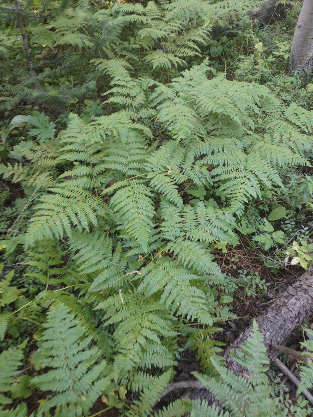
The cosmopolitan Bracken fern. It seem we see it everywhere we go.
08/15/2023 08:50 AM -- Location: 40.201812° N, 105.581316° W
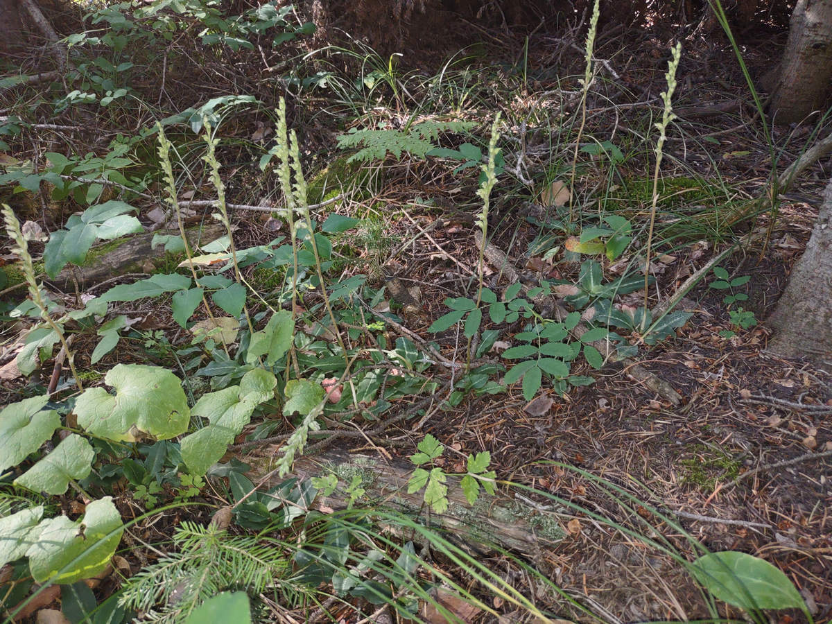
These area Lady's tresses orchid. The flower stalks now had seed pods.
08/15/2023 08:50 AM -- Location: 40.201809° N, 105.581321° W
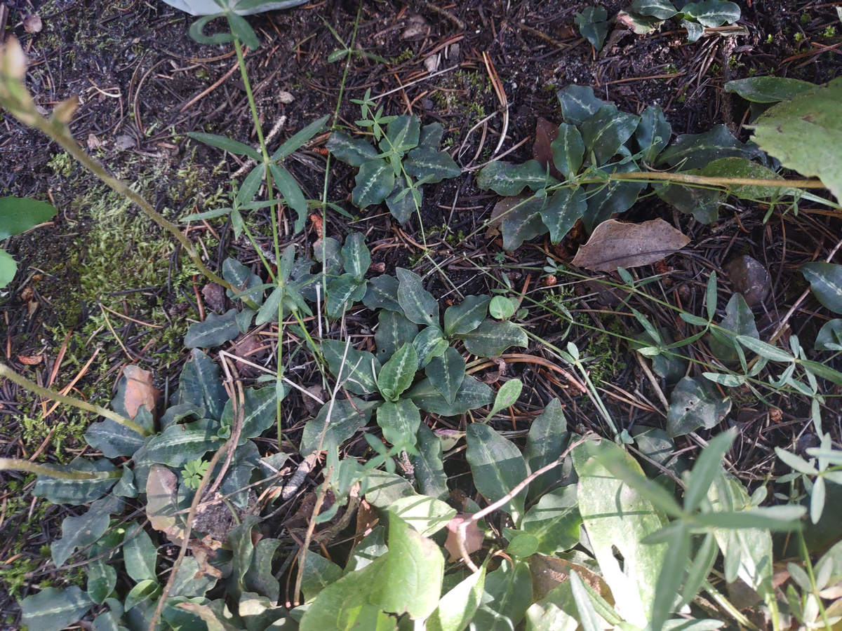
We have Lady's tresses orchids in West Virginia but the leaves are about 3 times this size.
08/15/2023 08:56 AM -- Location: 40.200865° N, 105.582389° W
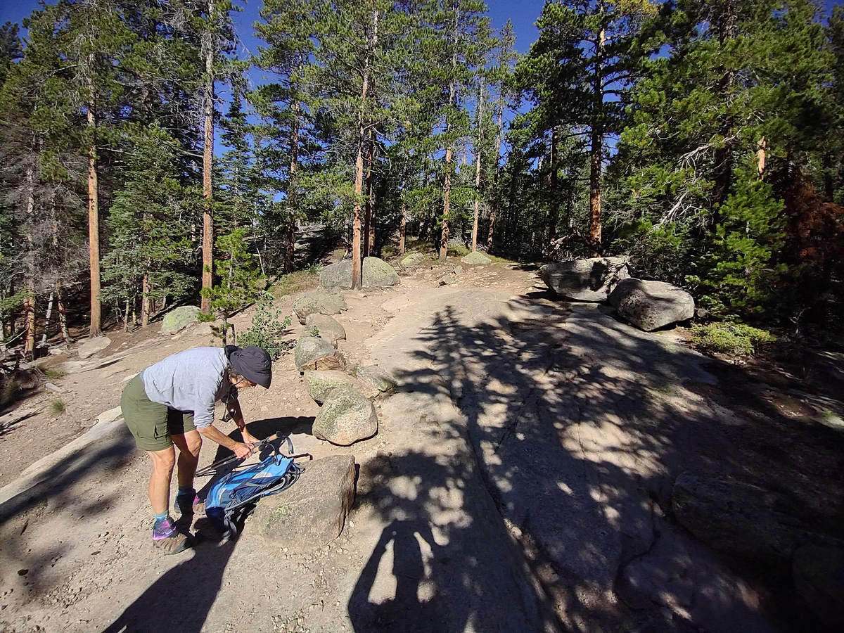
By now it was warming up and we were all shedding a layer.
08/15/2023 09:00 AM -- Location: 40.200691° N, 105.582779° W
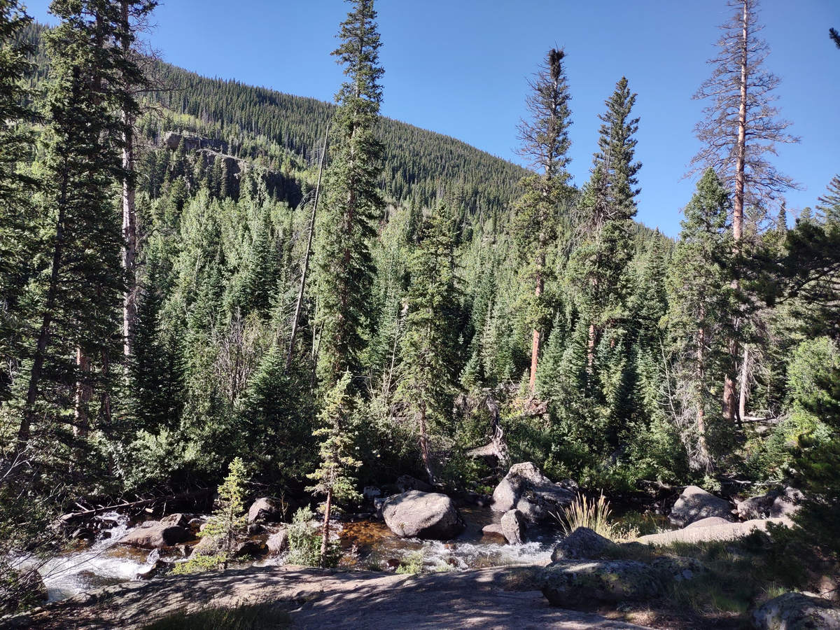
The hillsides were mostly Subalpine fir. I love the Latin binomial: Abies lasiocarpa
08/15/2023 09:00 AM -- Location: 40.200725° N, 105.582894° W
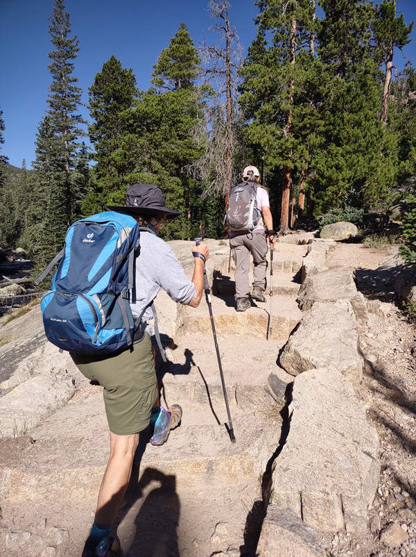
These stone steps were build to last and made the climbing much easier.
08/15/2023 09:11 AM -- Location: 40.200031° N, 105.588405° W
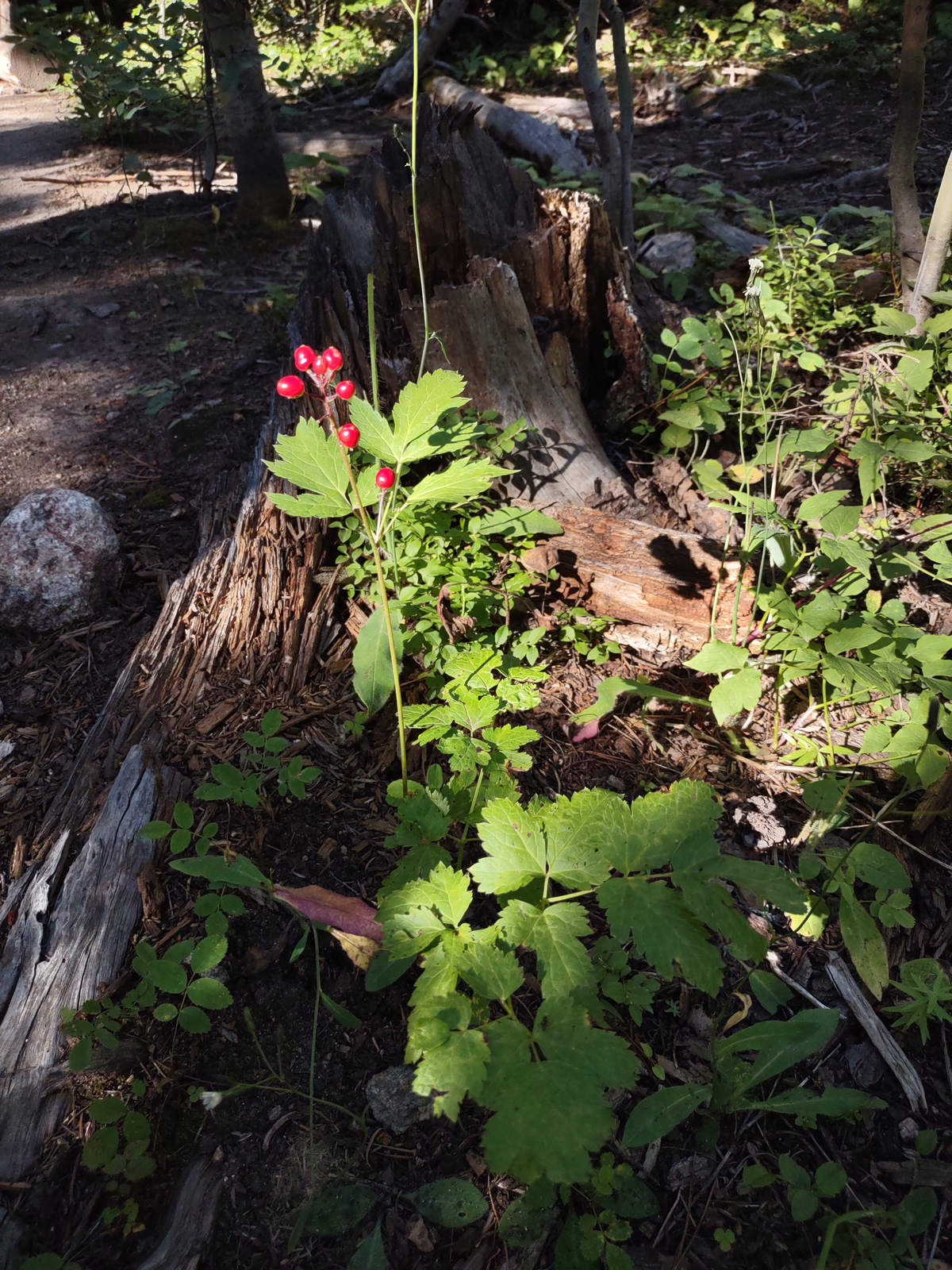
We saw Baneberry plant scattered along the trail.
08/15/2023 09:13 AM -- Location: 40.199536° N, 105.588425° W
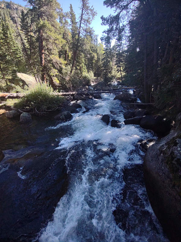
More lovely white water. The sound was delicious.
08/15/2023 09:15 AM -- Location: 40.199134° N, 105.588319° W
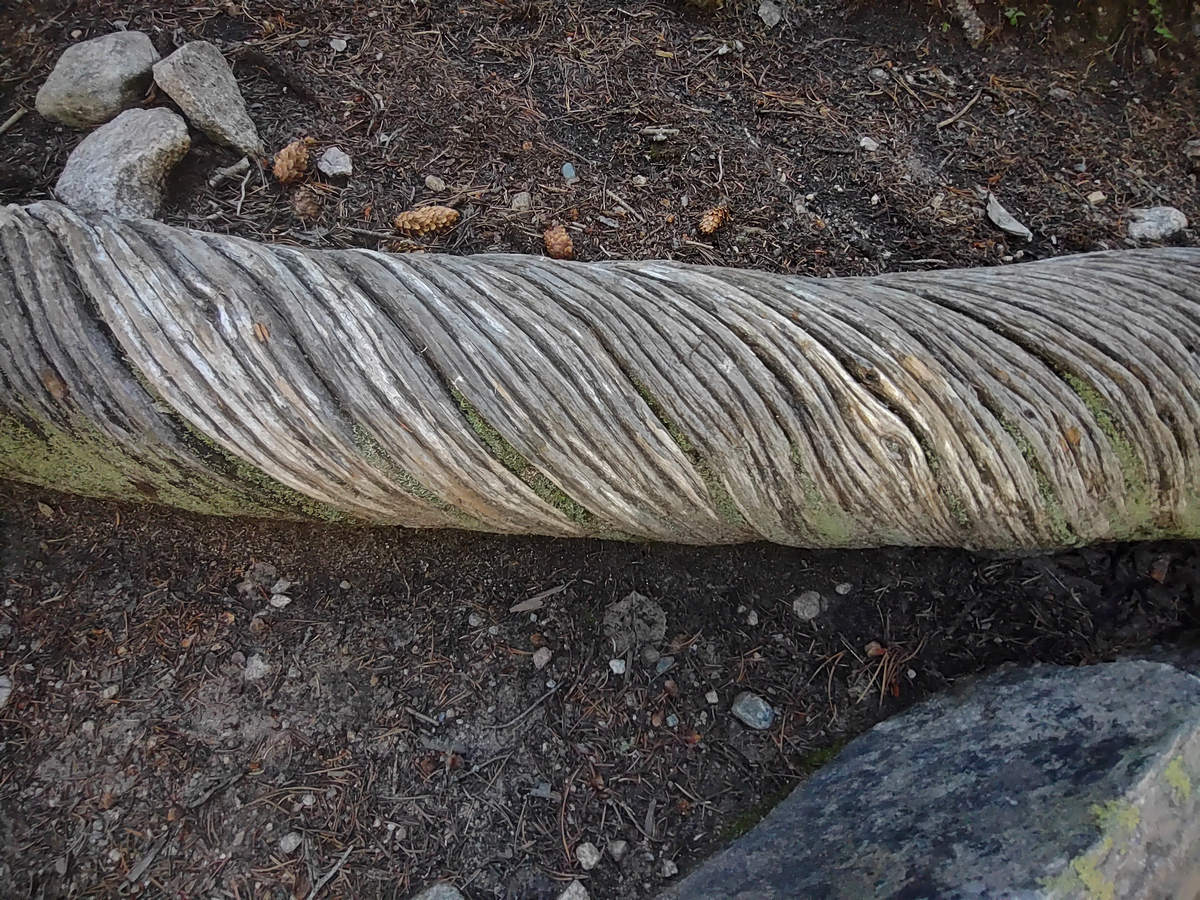
I thought this spiral grain was quite beautiful.
08/15/2023 09:15 AM -- Location: 40.199134° N, 105.588319° W
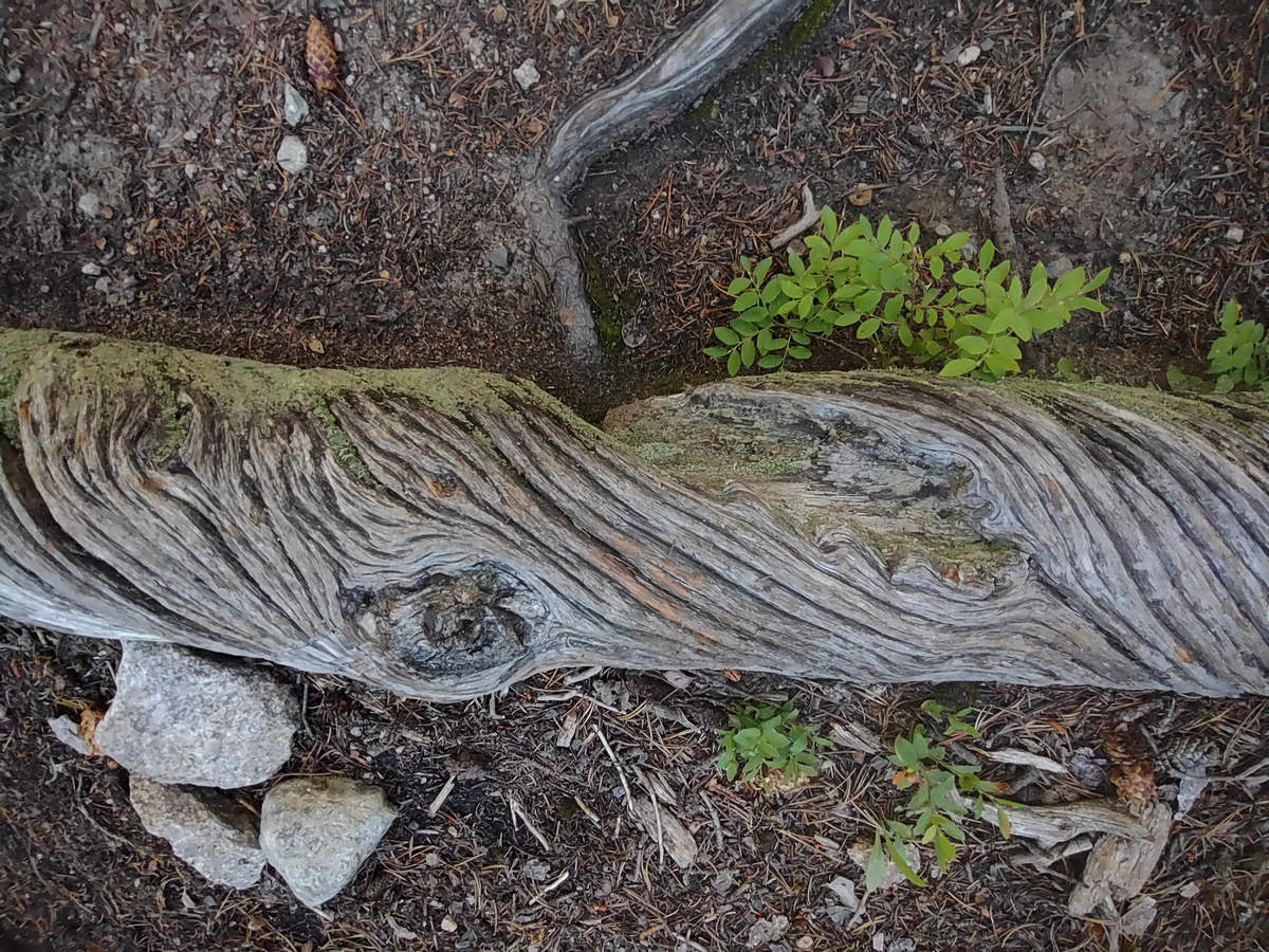
Why Do Trees Form Spiral Grain? Read about it here.
08/15/2023 09:24 AM -- Location: 40.197163° N, 105.590206° W
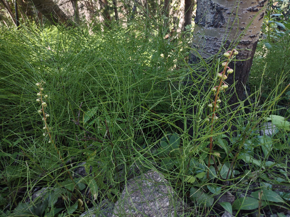
A nice little group of horsetail and pyrola.
08/15/2023 09:25 AM -- Location: 40.196902° N, 105.590228° W
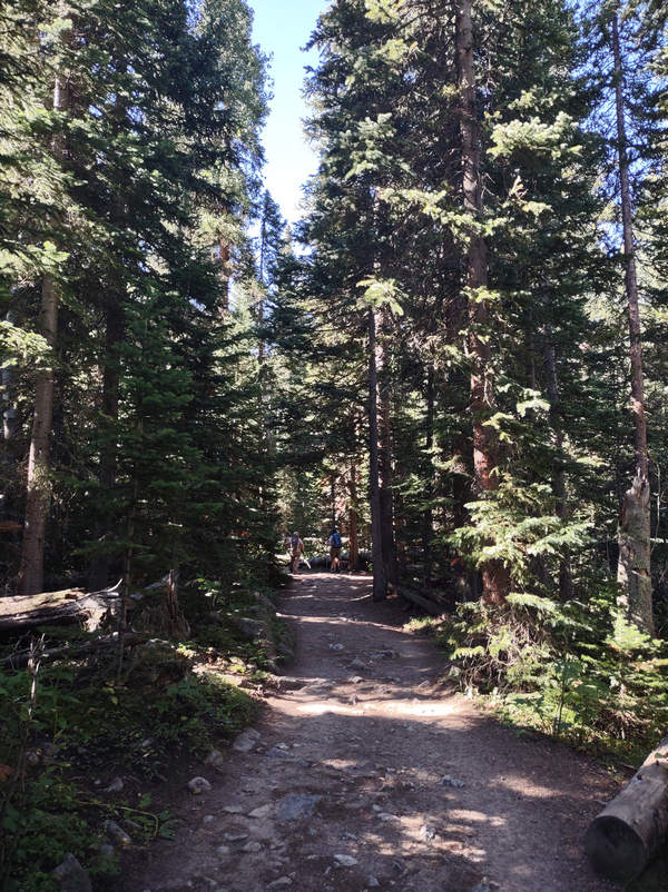
For much of the hike we were flanked by tall conifers - mainly Ponderosa pine and Subalpine fir.
08/15/2023 09:27 AM -- Location: 40.196483° N, 105.590288° W
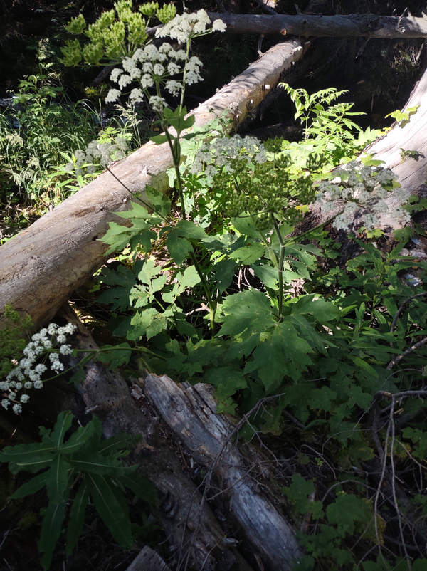
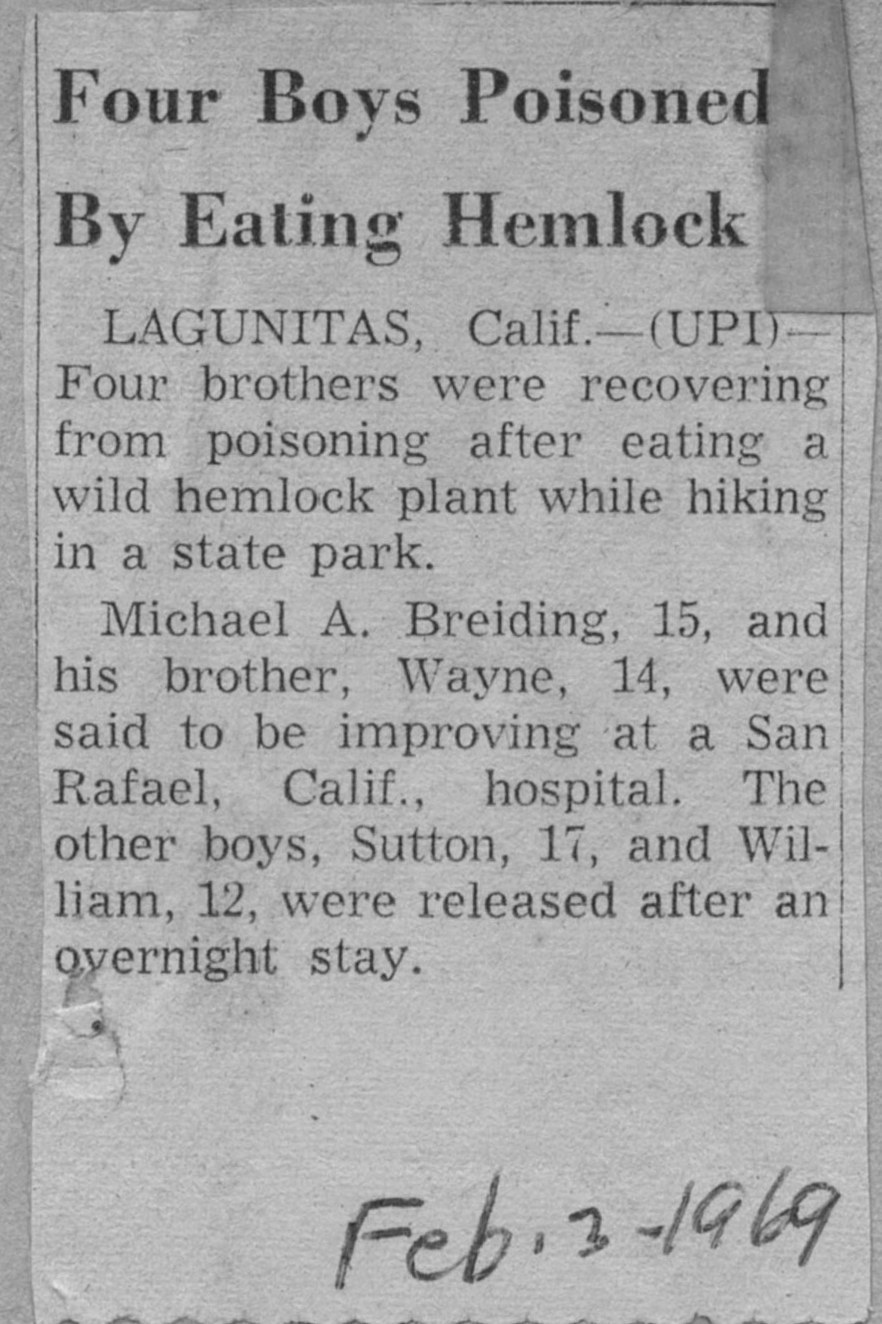
Here we have Water Hemlock - the plant that nearly killed the Breiding brothers.
08/15/2023 09:28 AM -- Location: 40.195914° N, 105.590131° W
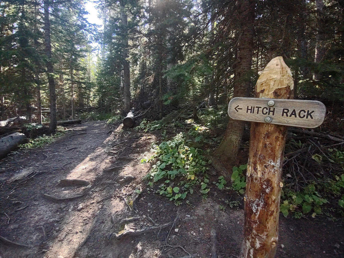
This is for Llamas, not horses.
08/15/2023 09:30 AM -- Location: 40.195621° N, 105.590445° W
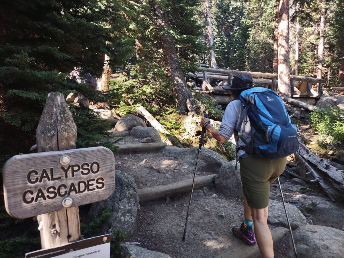
Still more water!
08/15/2023 09:32 AM -- Location: 40.195513° N, 105.590594° W
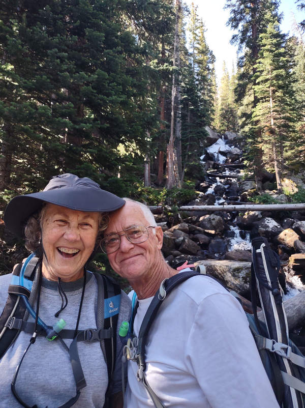
Priscilla snapped this for us. Are we having fun yet?
08/15/2023 09:42 AM -- Location: 40.197141° N, 105.595647° W
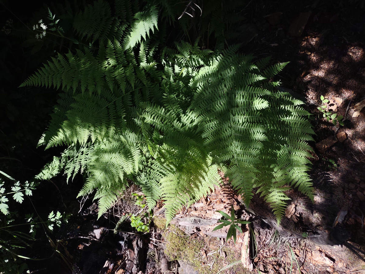
The Lady fern was here and there in the damp and shady spots along the trail.
08/15/2023 09:48 AM -- Location: 40.197715° N, 105.595621° W
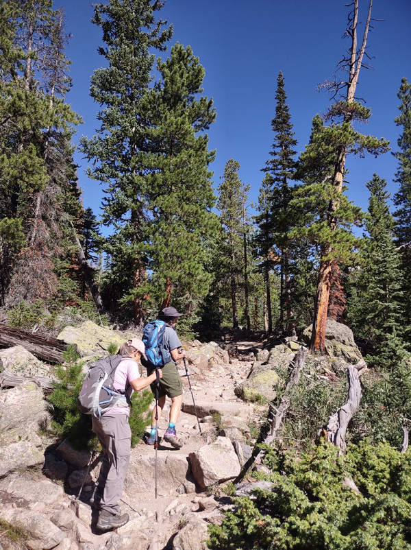
The rough and rocky sections of the trail required careful foot work.
08/15/2023 09:50 AM -- Location: 40.197902° N, 105.596390° W
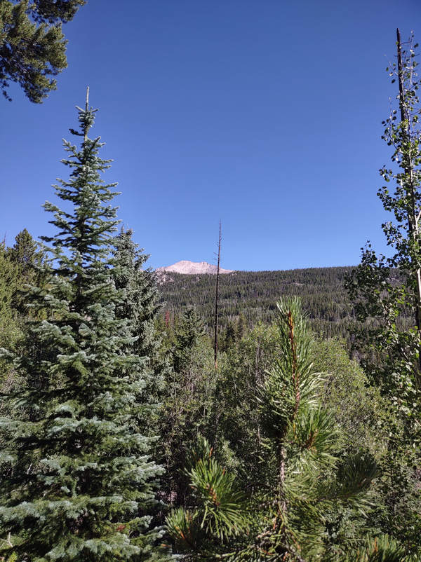
The is Longs Peak in the distance. It tops out at 14,259 feet. Recently there was a fatality on one of the routes there. See: A 21-year-old woman died after falling about 300 feet in Colorado's Rocky Mountain National Park over the weekend.
08/15/2023 10:49 AM -- Location: 40.198536° N, 105.599441° W
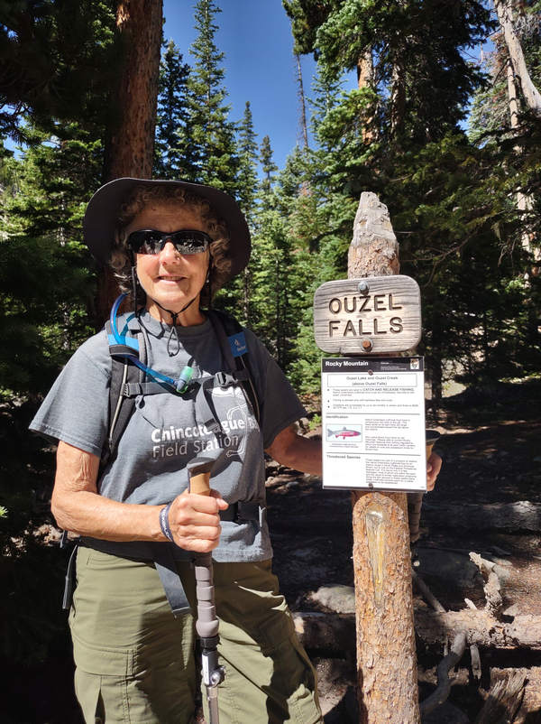
Soon we will be hearing the thunderous road of the Falls of Ouzel Creek.
08/15/2023 10:21 AM -- Location: 40.198729° N, 105.600326° W
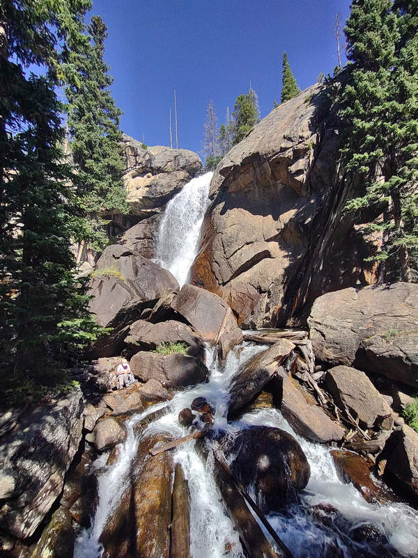
And here is the Falls of Ouzel Creek. It is quite spectacular. The falls is name for a bird - The Ouzel which is sometimes called a dipper. It runs up and down the dripping for insect and sometime diving under the water to pop up elsewhere. And - we saw one! We first saw an Ouzel in 1982 on our Honeymoon while camping in the Black Canyon of the Gunnison.
08/15/2023 10:14 AM -- Location: 40.198762° N, 105.600408° W
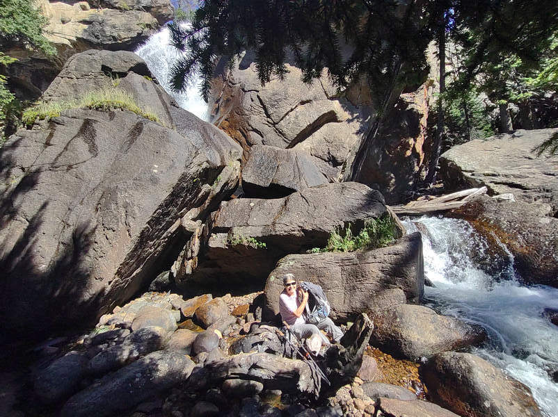
Priscilla sure found a nice lunch spot.
08/15/2023 10:57 AM -- Location: 40.199266° N, 105.597408° W
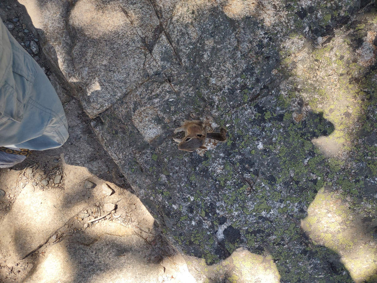
This little beggar is a Golden-Mantled Ground Squirrel which are often mistaken for chipmunks.
08/15/2023 10:59 AM -- Location: 40.199266° N, 105.597388° W
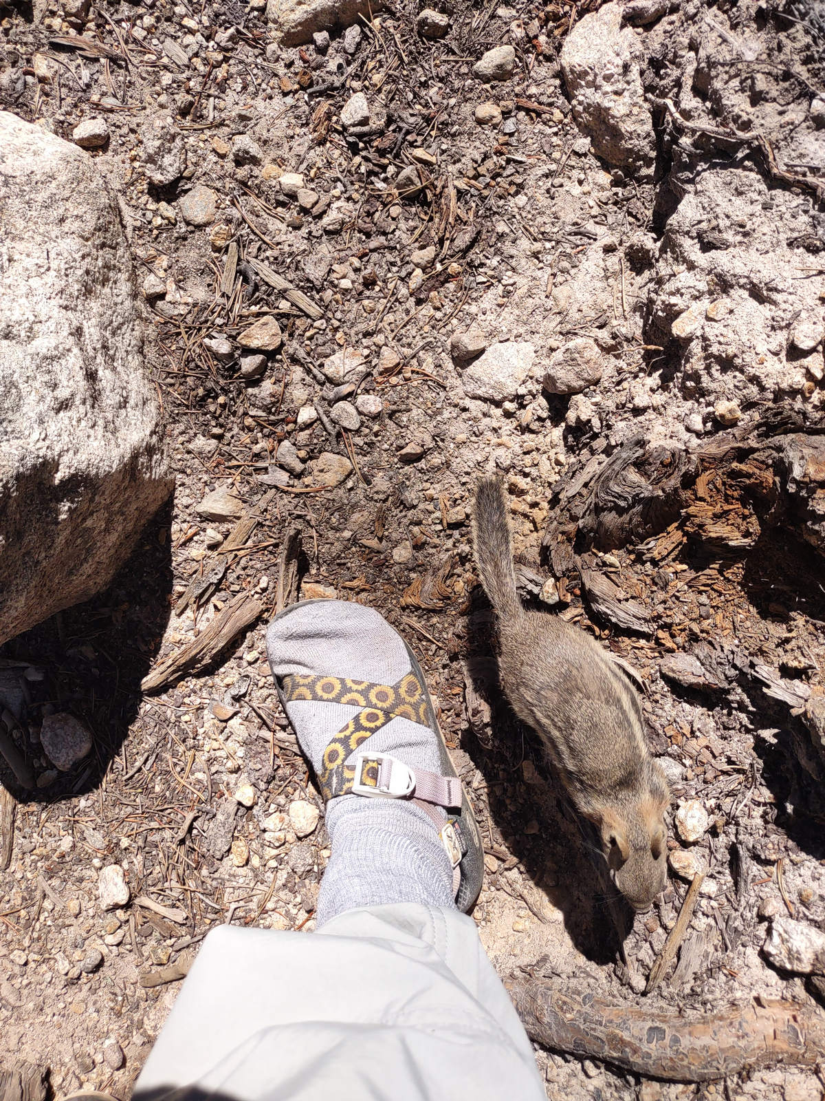
They are not shy about looking for a hand out.
08/15/2023 10:59 AM -- Location: 40.199266° N, 105.597388° W
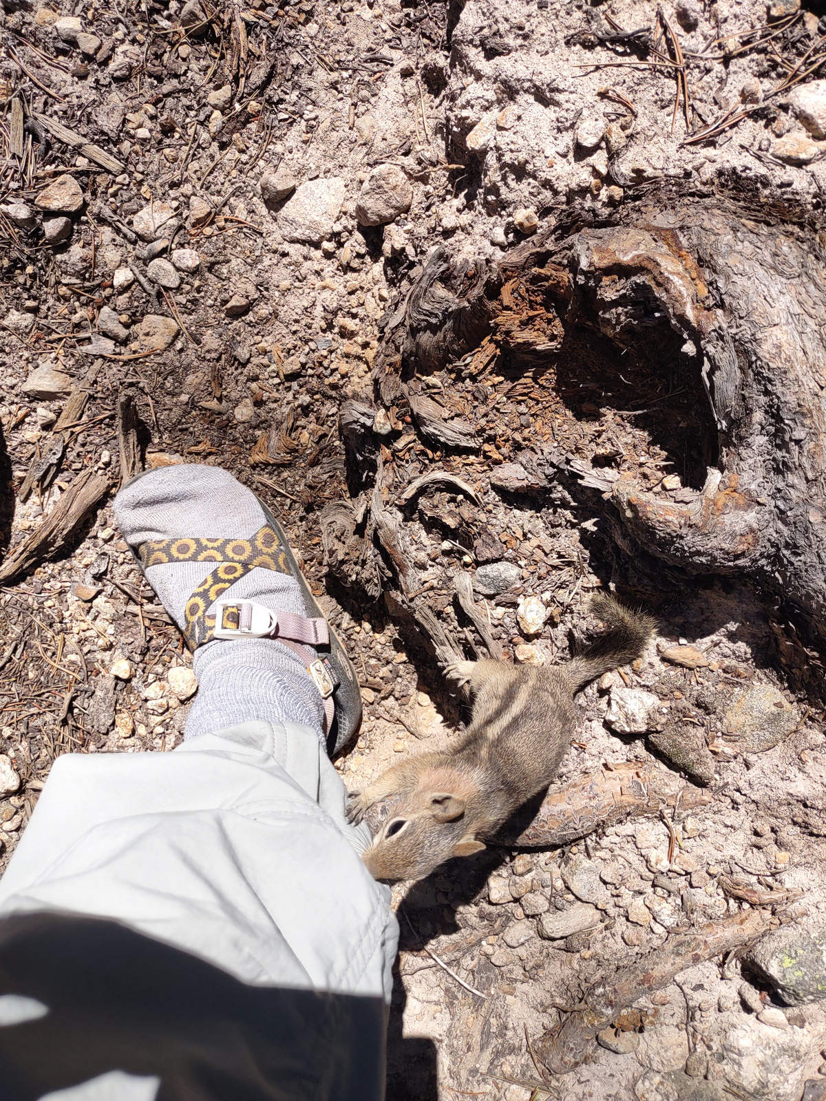
I swear, if I hadn't moved this litter critter would have climbed right up my pants leg.
08/15/2023 11:06 AM -- Location: 40.198156° N, 105.596750° W
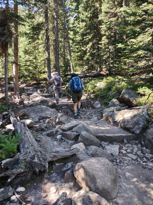
It was now time to return and we headed down hill, but first a little more up hill on the nice steps.
08/15/2023 12:07 AM -- Location: 40.205217° N, 105.571243° W
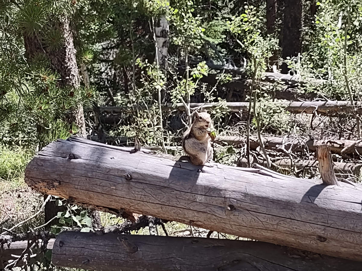
Another one! These beggars must be very well fed considering the number of people on the trail everyday.
08/15/2023 12:13 AM -- Location: 40.207125° N, 105.568478° W
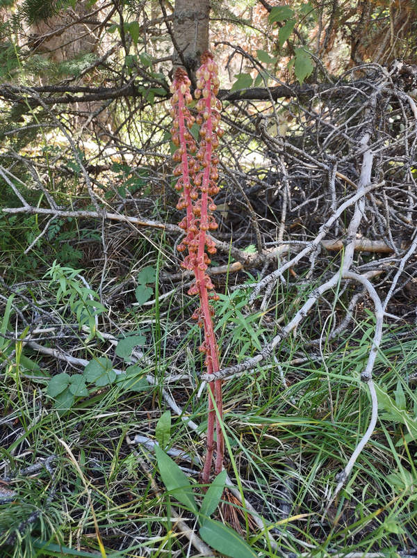
This is Pinesap. It has been a long time since I had seen this plant but I finally conjured up the name.
Unlike most plants, it does not contain chlorophyll; it is a myco-heterotroph, getting its food through parasitism upon fungi rather than photosynthesis. These fungi form a mycorrhiza with nearby tree species.
Source: WikiPedia
08/15/2023 12:18 AM -- Location: 40.207595° N, 105.566589° W
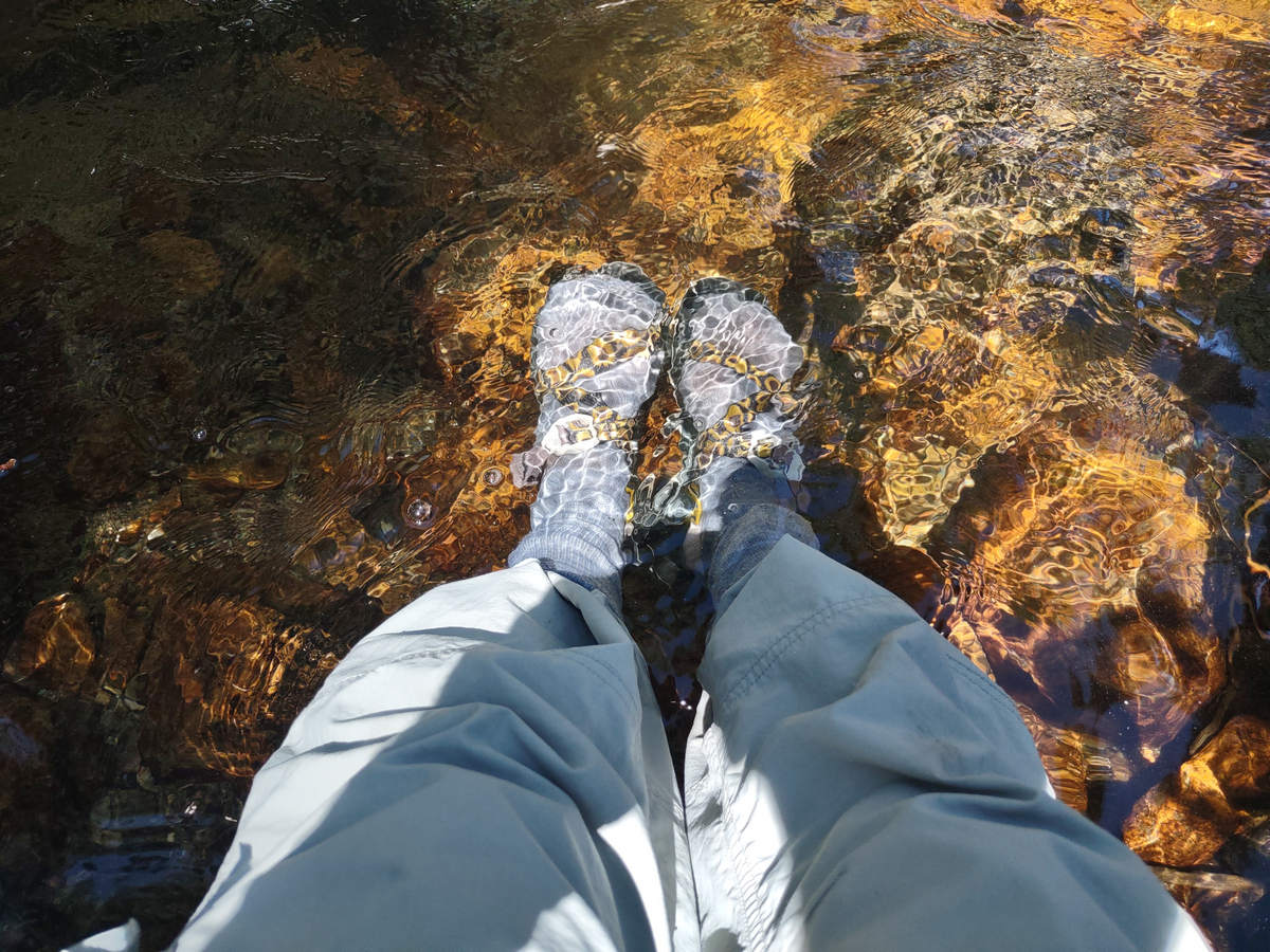
Now, back a the trail head it was time to cool my unhappy feet. Now they are happy.
BONUS!
See the video of Ouzal Falls.
See you next time...
Mike and Betsy