Mike Breiding's Epic Road Trips: August 2023
Colorado
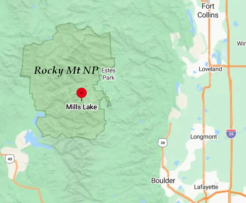
Rocky Mountain NP
Hiking to Mills Lake
Day 4: Wednesday, August 16th 2023
Rocky Mountain NP
Hiking to Mills Lake
As you may recall the first two days of our 6 day hiking marathon in the Rocky Mt NP area were in the "low country" at around 5500'.
On Day 3 we moved up to 8484 to 9440'.
Today, Day 4 we would continue the steady ascent which Priscilla had so wisely planned for us: 9170 to 9800'.
Betsy and I have enjoyed many hikes in the 6-8 mile range and beyond with elevation gains of 500 to 1600'. These hikes, which are mostly mellow and do not generally tax us in any way, are what we are used to.
But starting at 9170'? This would be a new experience for us.
Start EL: 9170 End EL: 9800
Length: 6.02 mi
EL gain: 856 ft
Total time: 4:11:55
AllTrails Route
Click on the photos below for a larger image.
08/16/2023 08:16 AM -- Location: 40.366693° N, 105.580325° W
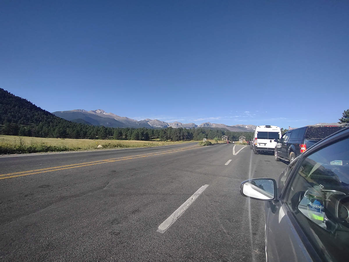
Here we are at the entrance station waiting our turn to get to the road which will take us to the trail head shuttle.
Like many national parks and some state parks Rocky Mountain NP has initiated a timed entry system and shuttles to help alleviate trail congestion and parking problems.
08/16/2023 08:17 AM -- Location: 40.366604° N, 105.580606° W
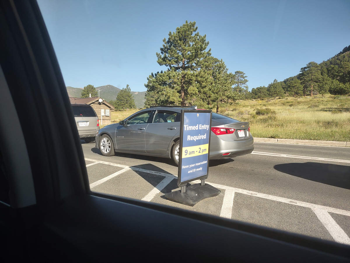
The sign says "Timed Entry Required: Have your Reservation and ID Ready".
Apparently some of the people in front of us did not and when they went through the entry station they made a U turn and away they went.
Once we were through Priscilla made here her way to the shuttle stop where we would park and then hop a shuttle to the trailhead.
08/16/2023 08:39 AM -- Location: 40.329362° N, 105.601284° W
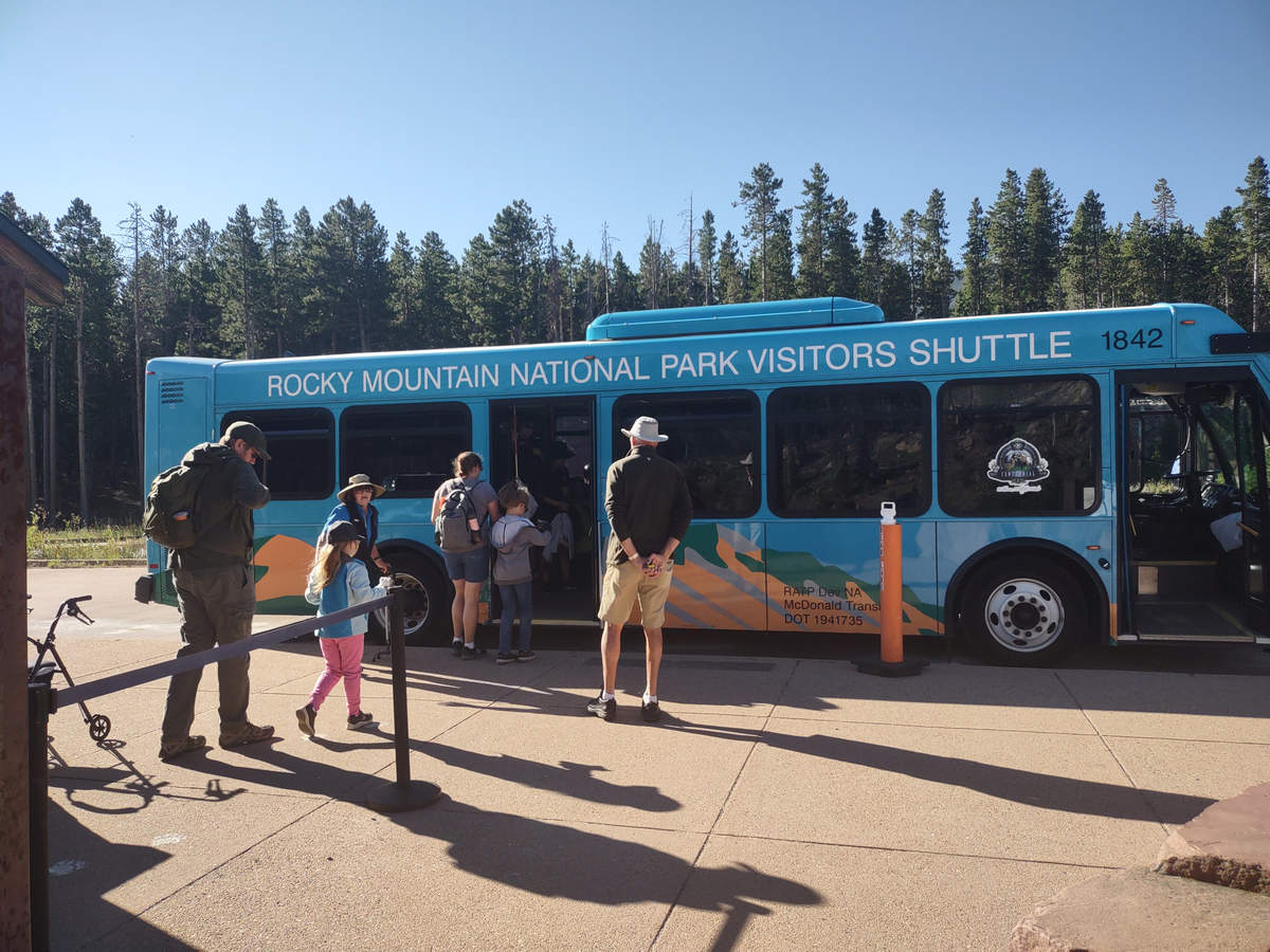
This one was full so we queued up for the next one. It arrived in about 15 minutes.
While we waited the volunteer who was organizing the loading gave a few bits of information about the shuttle and its stops and asked if there were any questions, etc.
Since we were now first in line we were in close proximity to the Volunteer and we started to chat with her. To our surprise she made some disparaging remarks about some "Black Lives Matter people" who had been there and then went on to make some remarks about being a "good Christian". She should learn how to keep her mouth shut!
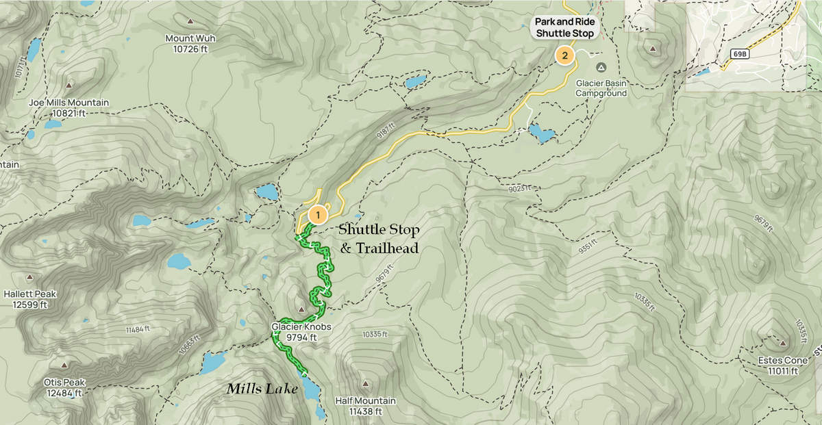
Here is the lay of the land and the hiking route to Mills Lake.
08/16/2023 08:49 AM -- Location of the trail head
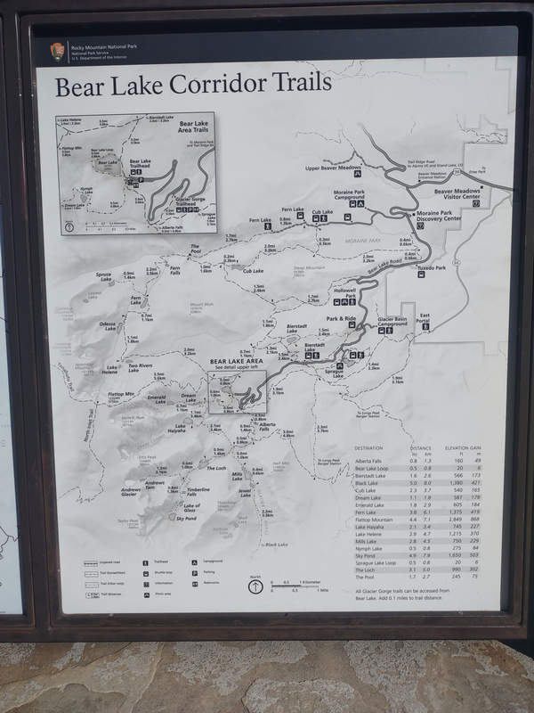
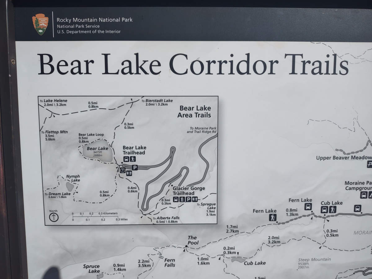
There are many hiking options in the area as you can see from this trail head kiosk map.
08/16/2023 08:49 AM -- Location: 40.329353° N, 105.601248° W
08/16/2023 09:08 AM -- Location: 40.310376° N, 105.640359° W
08/16/2023 09:14 AM -- Location: 40.308343° N, 105.642030° W
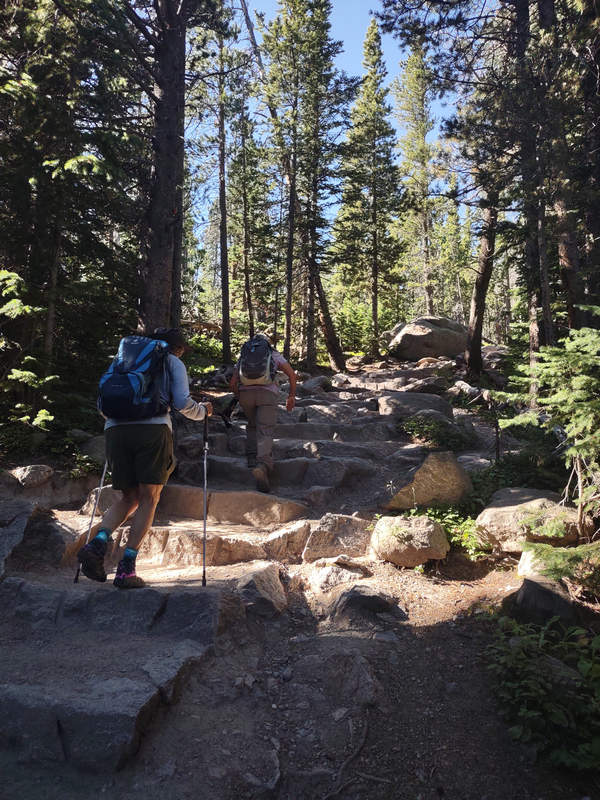
And away we go! The nicely placed steps made the climbing a little bit easier.
08/16/2023 09:17 AM -- Location: 40.307815° N, 105.642900° W
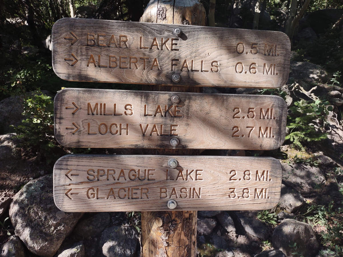
Alberta Falls is a popular destination for those wanting a short hike,
08/16/2023 09:22 AM -- Location: 40.306816° N, 105.642192° W
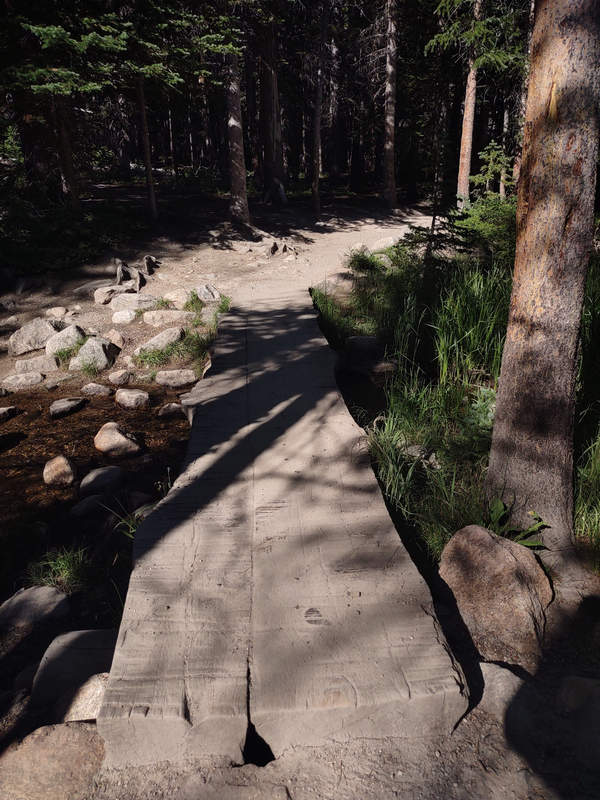
There were a number of shallow water crossings like this one. We all admired the use of the "live edge" planks.
08/16/2023 09:38 AM -- Location: 40.303972° N, 105.638162° W
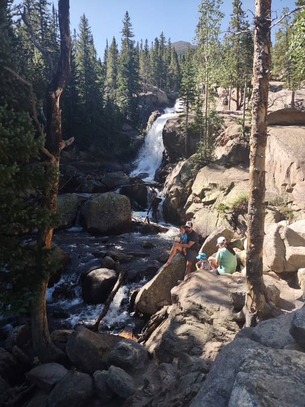
Here we are at Alberta Falls where we stopped for a bit to take in the view and rest awhile. We took a lot of short rest stops - sometime only a minute or two. This helped Betsy and me catch our breath which the elevation was constantly chasing.
The waterfall is named after Alberta Sprague, the wife of Abner Sprague, one of the first settlers in the Estes Park area. The Sprague's began building a homestead in Moraine Park in 1874, which would eventually become a lodge that was used for hunting, fishing and dude ranching. The property was sold to James Stead in 1900, and remained in business as the Stead’s Ranch and Hotel until 1962. In 1910 the Sprague's built another lodge near the current parking area for Sprague Lake. The National Park Service purchased that property in 1932, and razed it in 1957.
Note the use of the word "Park" above. "Park" is a Colorado-centric idiom meaning upland valley. Now you know.
08/16/2023 09:40 AM -- Location: 40.303938° N, 105.638883° W
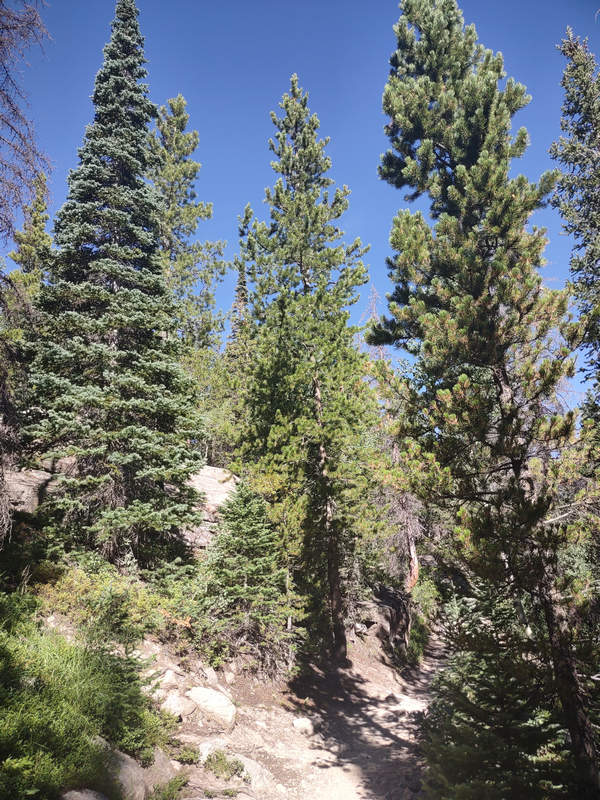
All three of these conifers were different species. The one on the left is Subalpine fir. The other two I could not ID. There are so many species in the Rockies and to the west and southwest I find it very confusing.
08/16/2023 09:50 AM -- Location: 40.303124° N, 105.639828° W
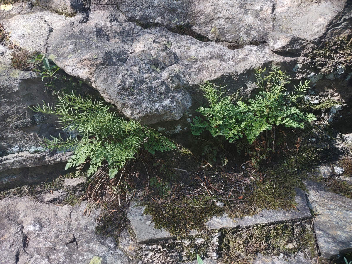
I was deeeeeeLighted to see this little beauty - the Parsley Fern (Cryptogramma acrostichoides).
As you can see here it grows in a single tuft and has a short rhizome growing in the crack of this rock outcrop. There are two leaf types. The sterile leaf has flat, oval-shaped lobed leaflets resembling parsley, and the fertile leaf is longer with narrow, thick, linear leaflets with their margins curled under to cover the sporangia on the undersides.
08/16/2023 09:50 AM -- Location: 40.303110° N, 105.639845° W
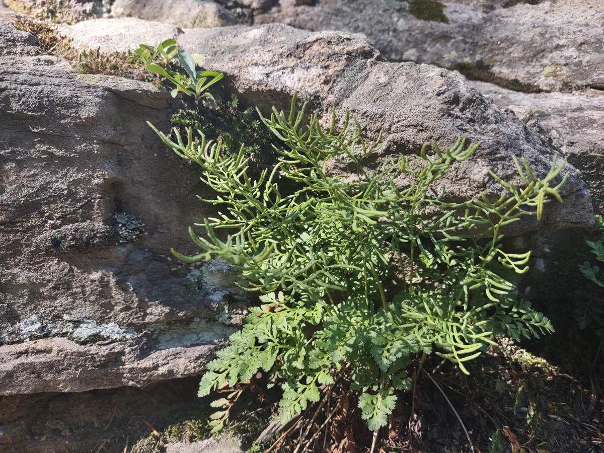
Here you can clearly see both fertile and sterile leaves. These are referred to as dimorphic fronds.
08/16/2023 10:00 AM -- Location: 40.300875° N, 105.638595° W
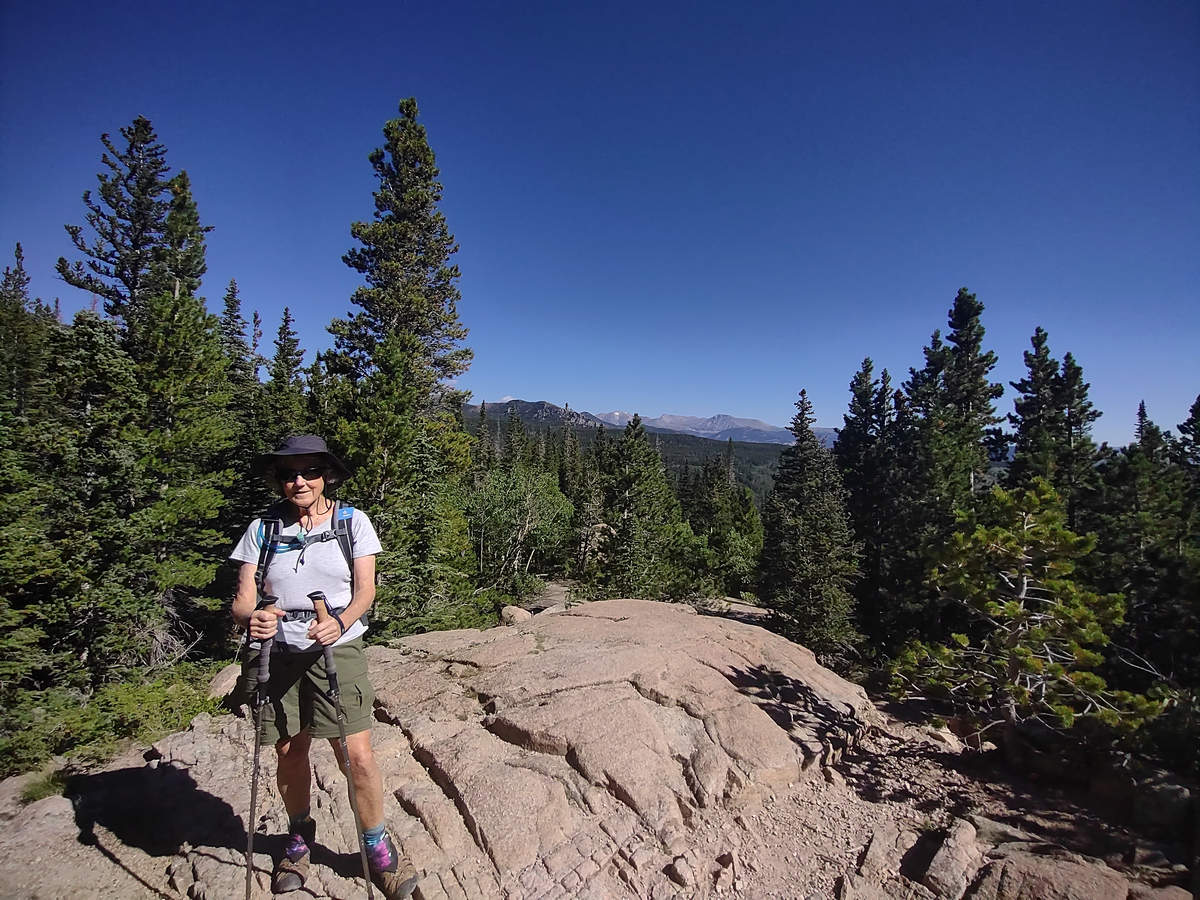
The occasional openings in the dense, now primarily Subalpine fir forest allowed for some nice views of the distant peaks, some of which still had a bit of snow.
08/16/2023 10:21 AM -- Location: 40.298862° N, 105.639736° W
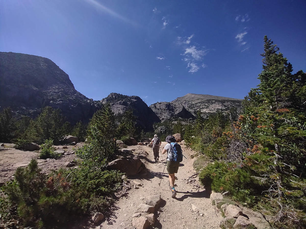
As we climbed higher the vegetation changed and we began to see different tree species.
08/16/2023 10:24 AM -- Location: 40.298098° N, 105.640635° W
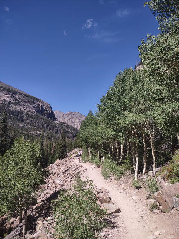
This narrow section of trail was flanked by the beautiful Trembling aspen (Populus tremuloides). This aspen "trembles" because the leaves have flat petioles (leaf stems) and even a slight breeze will cause the leaves to flutter. Here is a video of the "trembling".
08/16/2023 10:33 AM -- Location: 40.297260° N, 105.644112° W
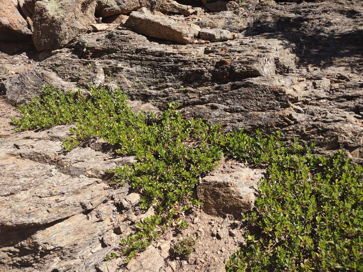
Here we have Bearberry, also called kinnikinnick. But the name I prefer is Arctostaphylos uva-ursi.
08/16/2023 10:33 AM -- Location: 40.297260° N, 105.644112° W
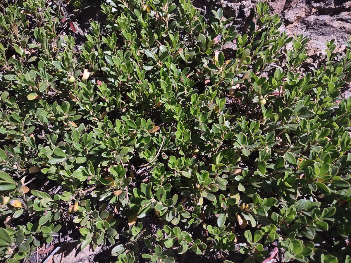
In our travels we have seen this throughout the Great Lakes as well as Maine, California and Oregon.
08/16/2023 10:37 AM -- Location: 40.297539° N, 105.645803° W
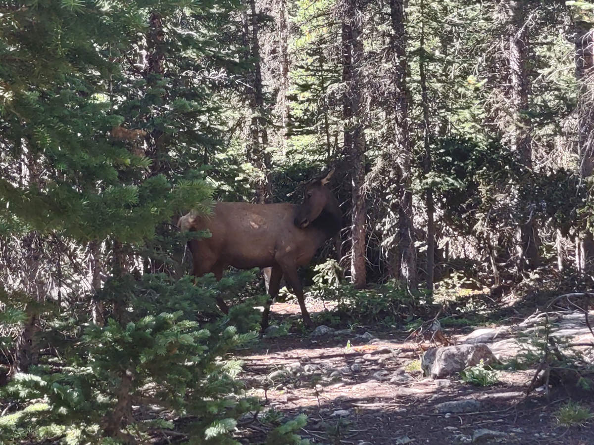
What have we here? The cow elk was grazing near the trail and crossed back and forth several times. We kept our distance. They are big animals and you don't want to frighten them or piss them off.
08/16/2023 10:54 AM -- Location: 40.294338° N, 105.645840° W
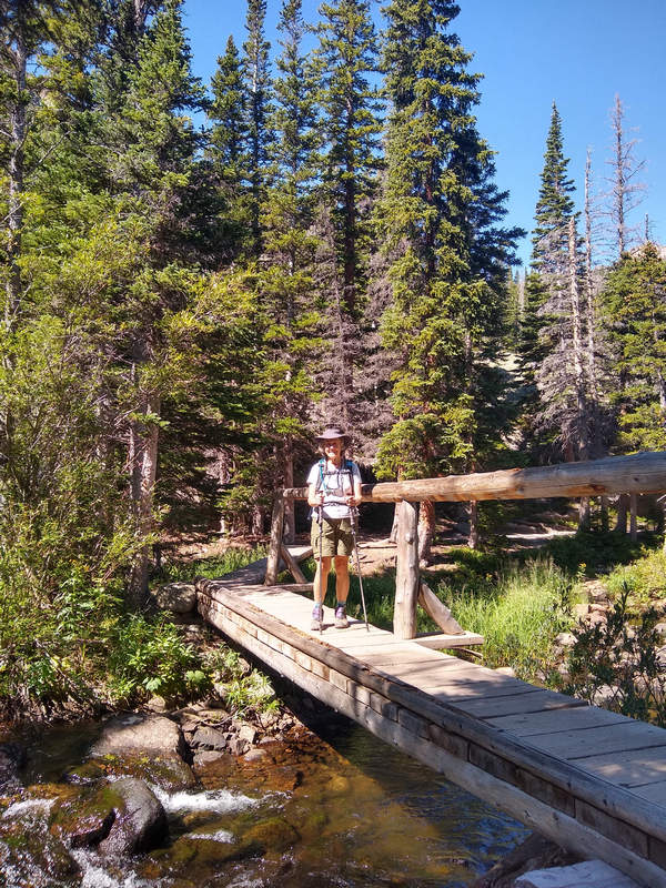
Photo by Priscilla
Here Betsy crosses Glacier Creek,
08/16/2023 10:45 AM -- Location: 40.295782° N, 105.647330° W
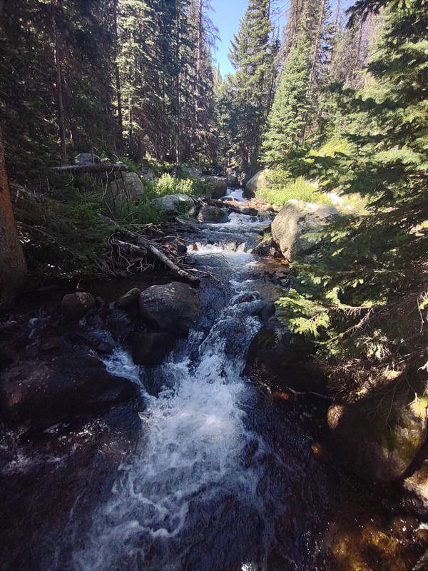
The icy looking water of Glacier Creek made my feet want to jump right in.
08/16/2023 10:52 AM -- Location: 40.294777° N, 105.646393° W
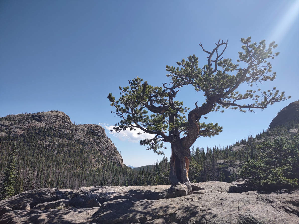
I wonder how old this stunted and battered old beauty is? Priscilla had seen this tree before and said there was a sign on the back of it.
08/16/2023 10:51 AM -- Location: 40.294777° N, 105.646393° W
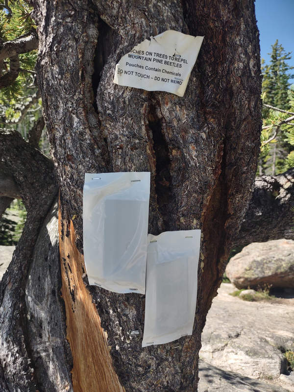
Here is that sign.
08/16/2023 10:51 AM -- Location: 40.294777° N, 105.646393° W
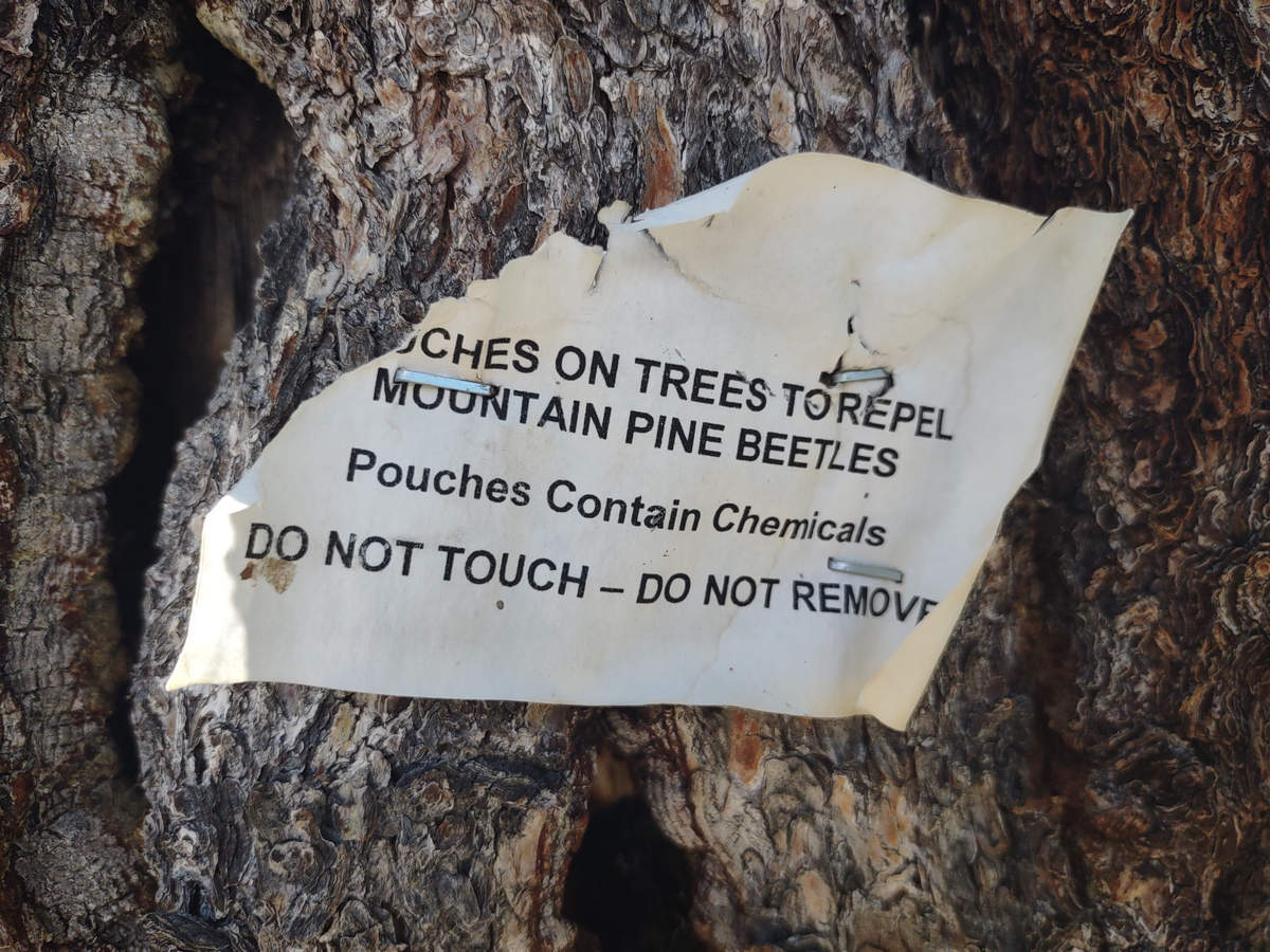
The pine beetles have killed millions of trees throughout the west. On a 2011 trip to the Snowy Mountains in SE Wyoming we saw entire mountain sides with nothing but dead trees.
Here, thankfully there are only scattered dead trees of Subalpine fir on the adjacent hillsides.
08/16/2023 10:52 AM -- Location: 40.294777° N, 105.646393° W
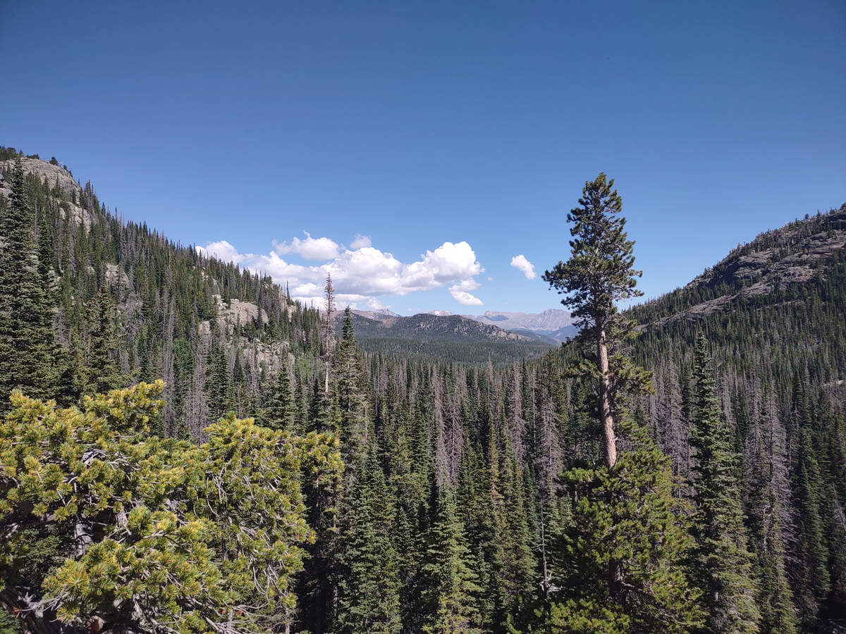
Here you can see some of the dead Subalpine fir.
08/16/2023 10:54 AM -- Location: 40.294357° N, 105.646161° W
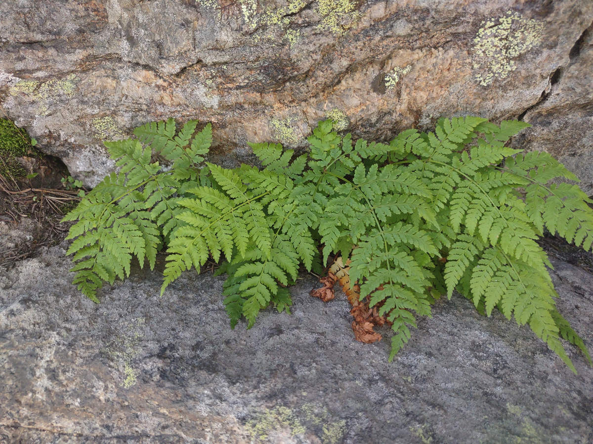
This may be one of the species of Fragile ferns (Cystopteris). If you know which one shoot me an email.
08/16/2023 11:03 AM -- Location: 40.293203° N, 105.644754° W
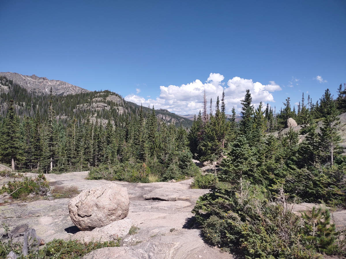
As you can see here we are slowly but surely getting close to the tree line and up into the subalpine region.
08/16/2023 11:03 AM -- Location: 40.293123° N, 105.644700° W
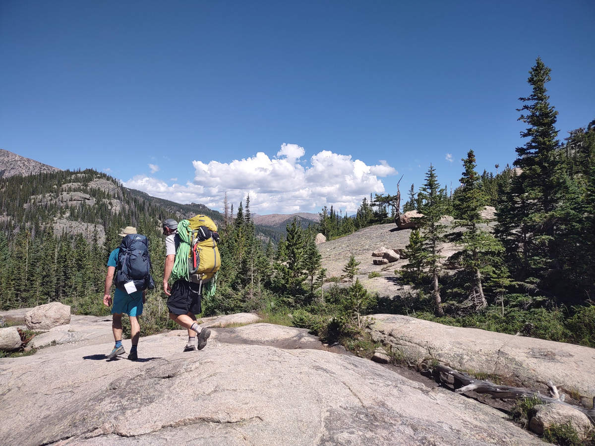
We saw rock climbers just about everywhere we went hiking.
08/16/2023 11:05 AM -- Location: 40.292569° N, 105.643802° W
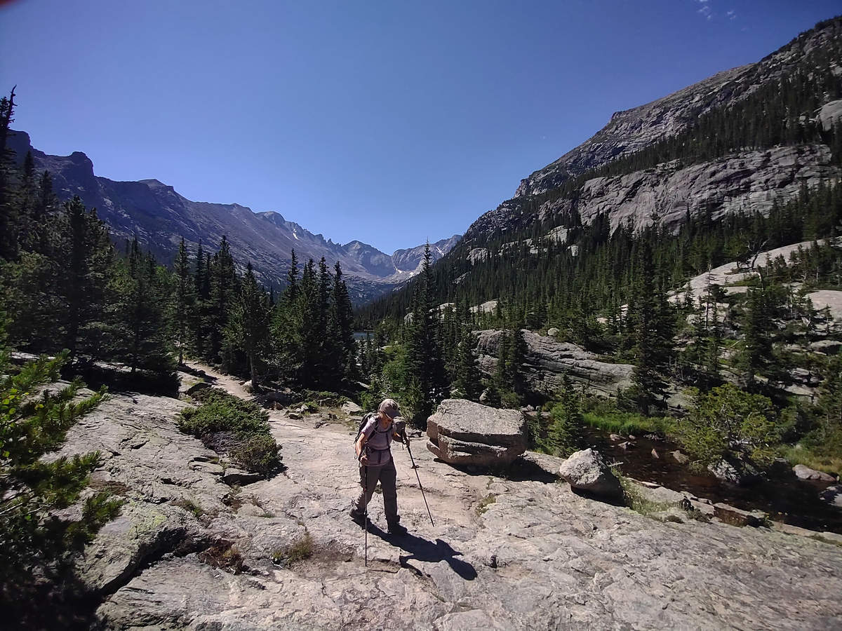
Rugged grandeur.
08/16/2023 11:08 AM -- Location: 40.291993° N, 105.643260° W
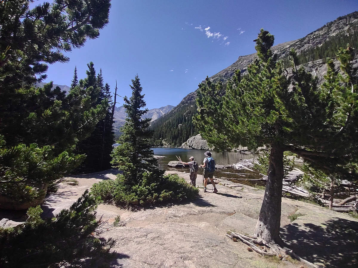
And here we are - Mills Lake.
08/16/2023 11:12 AM -- Location: 40.291184° N, 105.642499° W
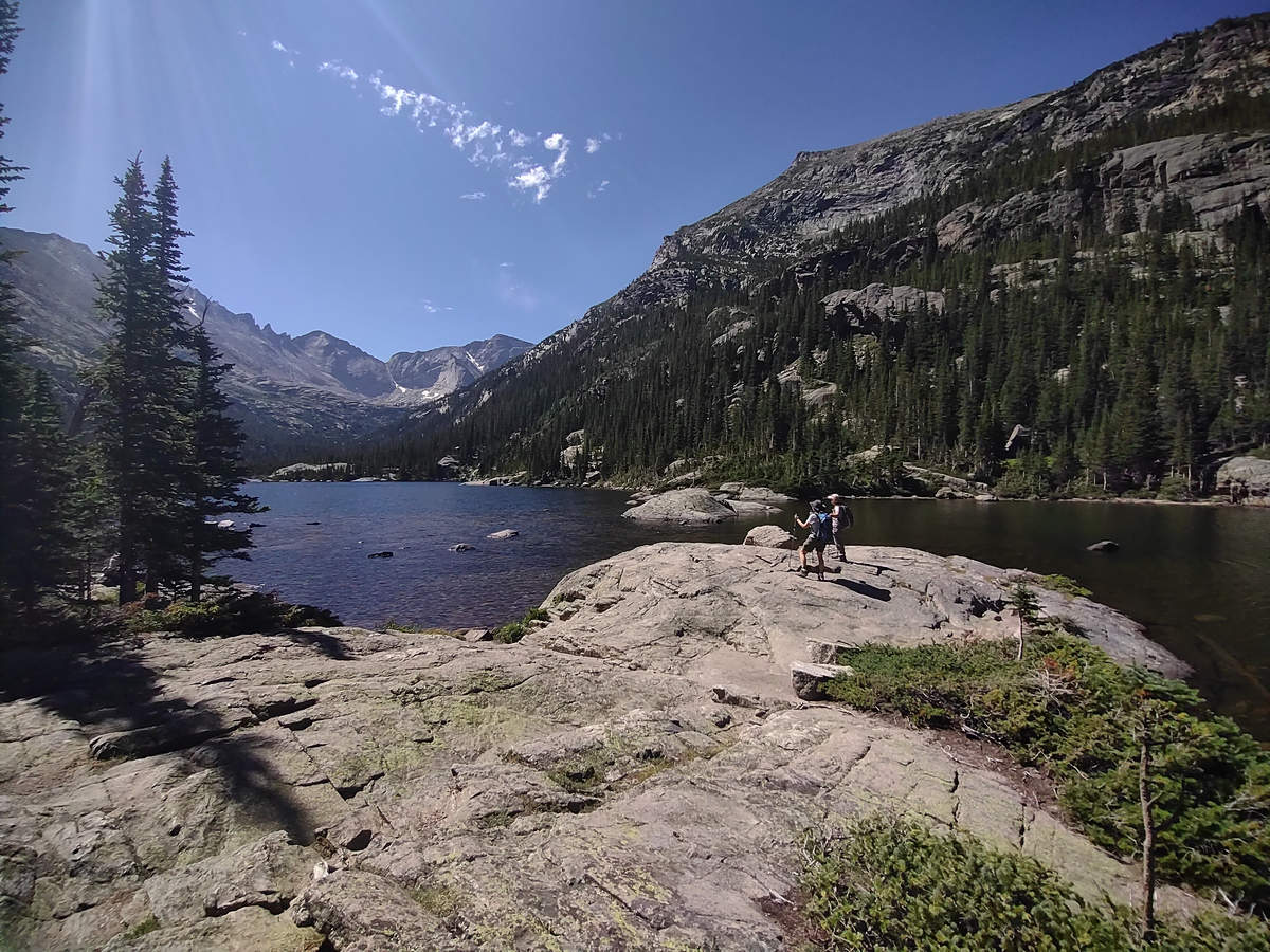
Gorgeosity!
08/16/2023 11:14 AM -- Location: 40.291096° N, 105.642455° W
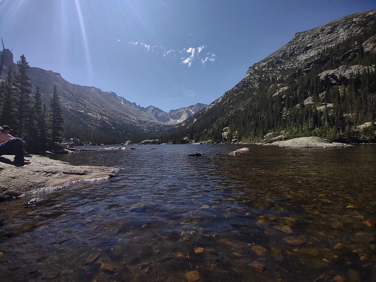
08/16/2023 11:24 AM -- Location: 40.291155° N, 105.642418° W
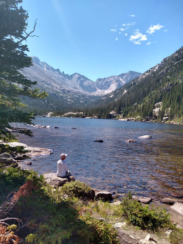
Photo by Priscilla
And now it's time for lunch and a good soaking of the feet.
08/16/2023 11:20 AM -- Location: 40.291076° N, 105.642434° W
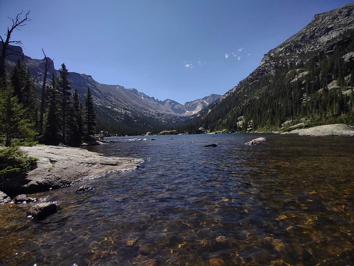
It was hard not to keep snappin'.
08/16/2023 11:45 AM -- Location: 40.291192° N, 105.642513° W
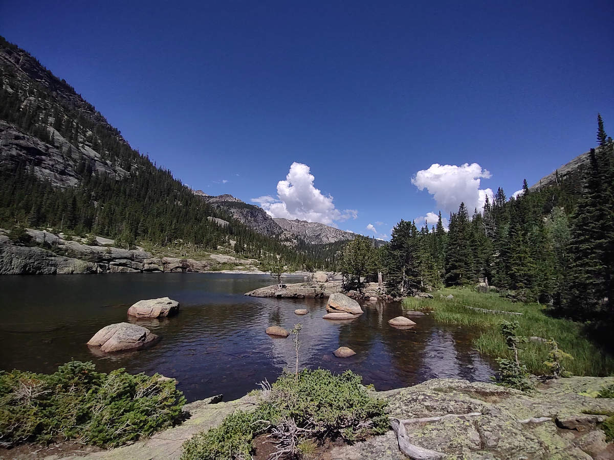
After some nice rest and relaxation we started the hike back.
08/16/2023 11:57 AM -- Location: 40.293226° N, 105.644728° W
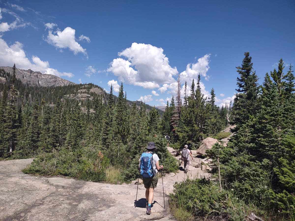
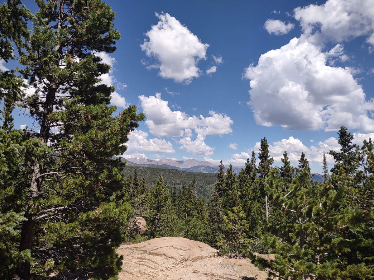
Some clouds had moved in which I think added to the beauty of the landscape. So I took a few more snaps.
08/16/2023 12:05 AM -- Location: 40.294694° N, 105.646431° W
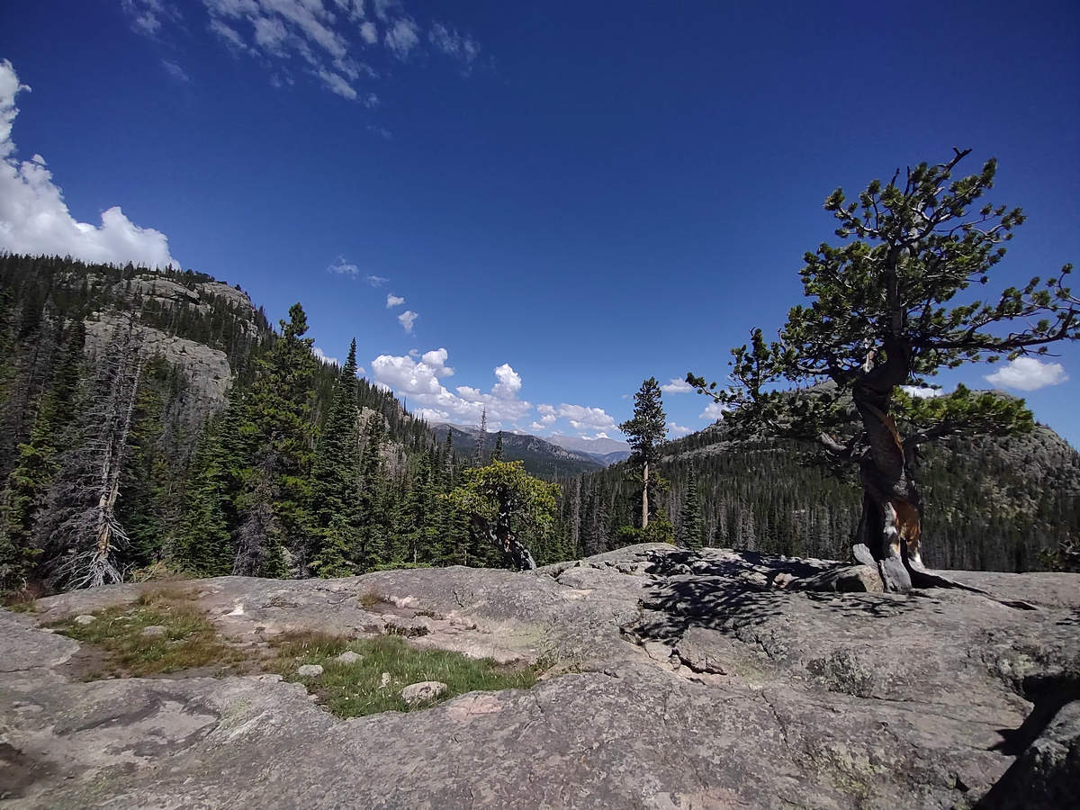
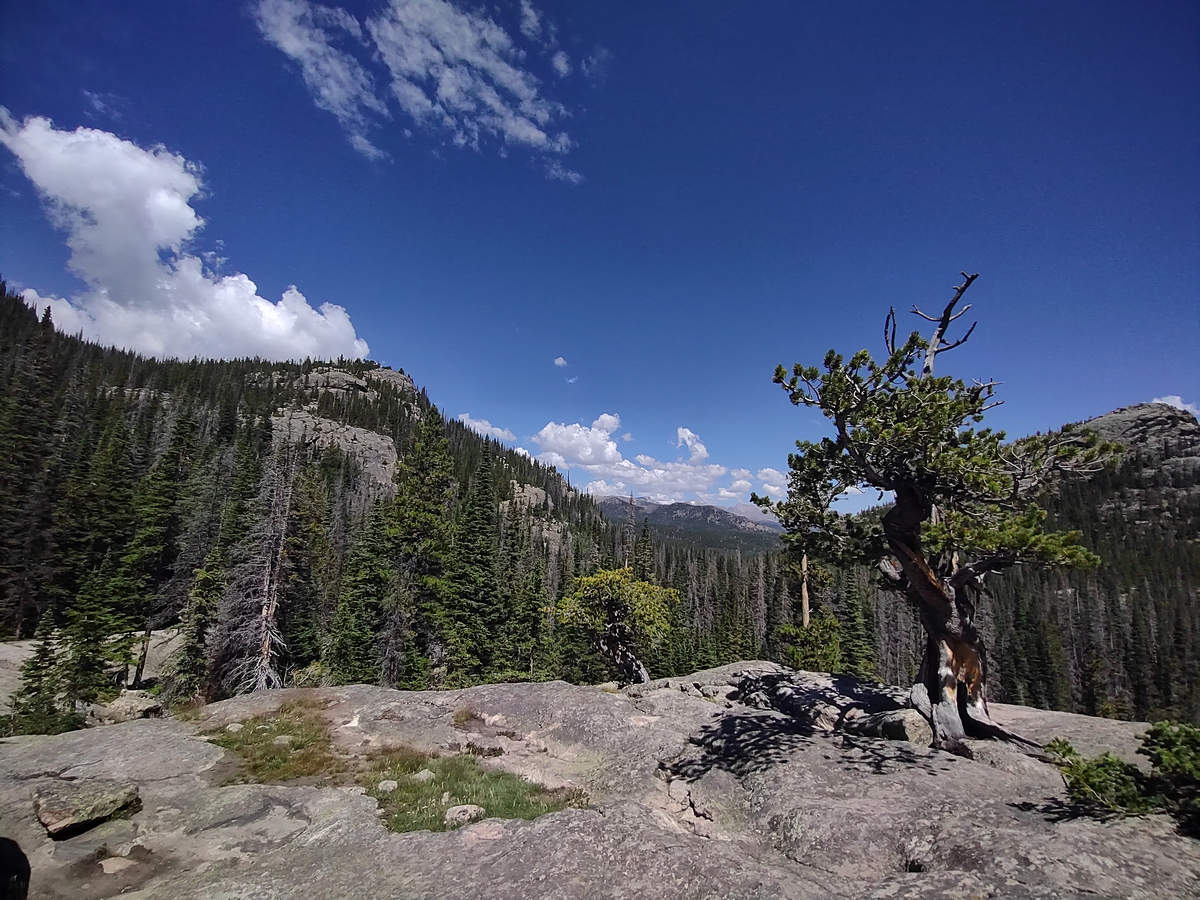
Here we are again at the Ancient One.
08/16/2023 12:06 AM -- Location: 40.294694° N, 105.646431° W
08/16/2023 12:17 AM -- Location: 40.297506° N, 105.645210° W
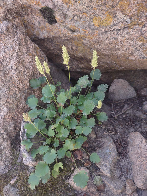
This little cutie was tucked into a nicely sheltered spot along the trail. It may be a species of Heuchera.
08/16/2023 12:21 AM -- Location: 40.297160° N, 105.643390° W
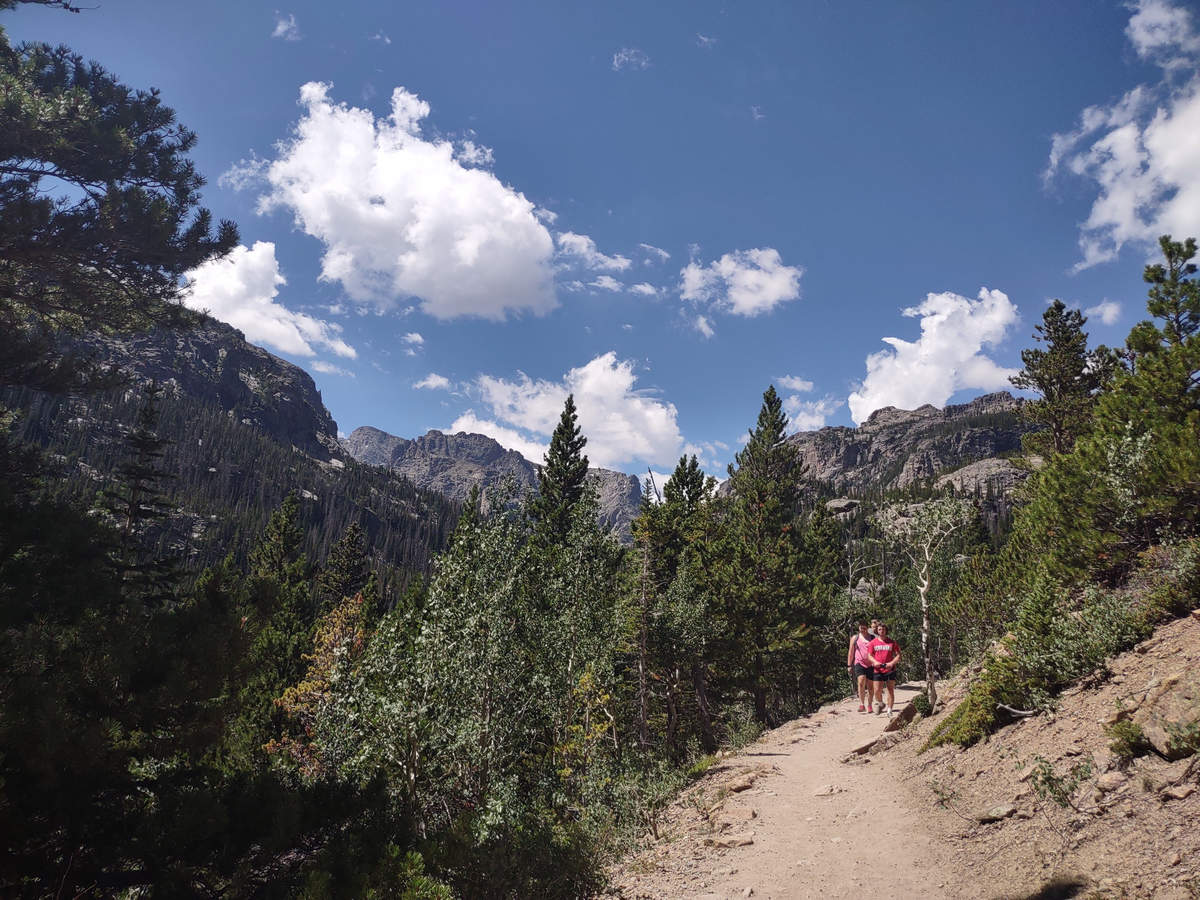
We saw only a few people at Mills Lake including these three who were heading back down to the trail head.
08/16/2023 12:22 AM -- Location: 40.297160° N, 105.642717° W
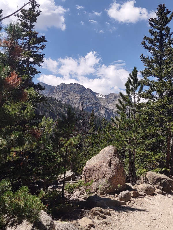
08/16/2023 12:23 AM -- Location: 40.297478° N, 105.642129° W
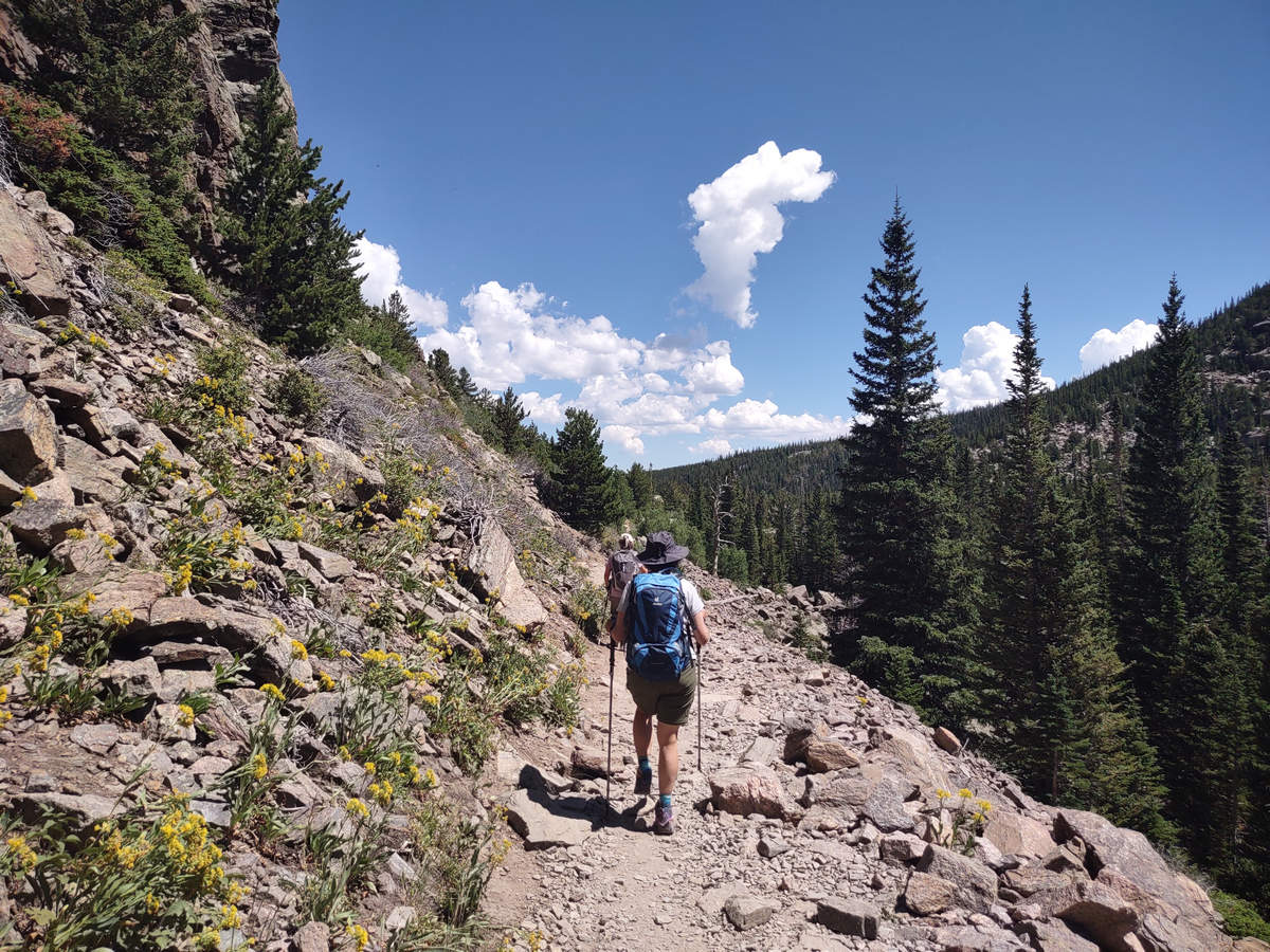
08/16/2023 12:27 AM -- Location: 40.298515° N, 105.639868° W
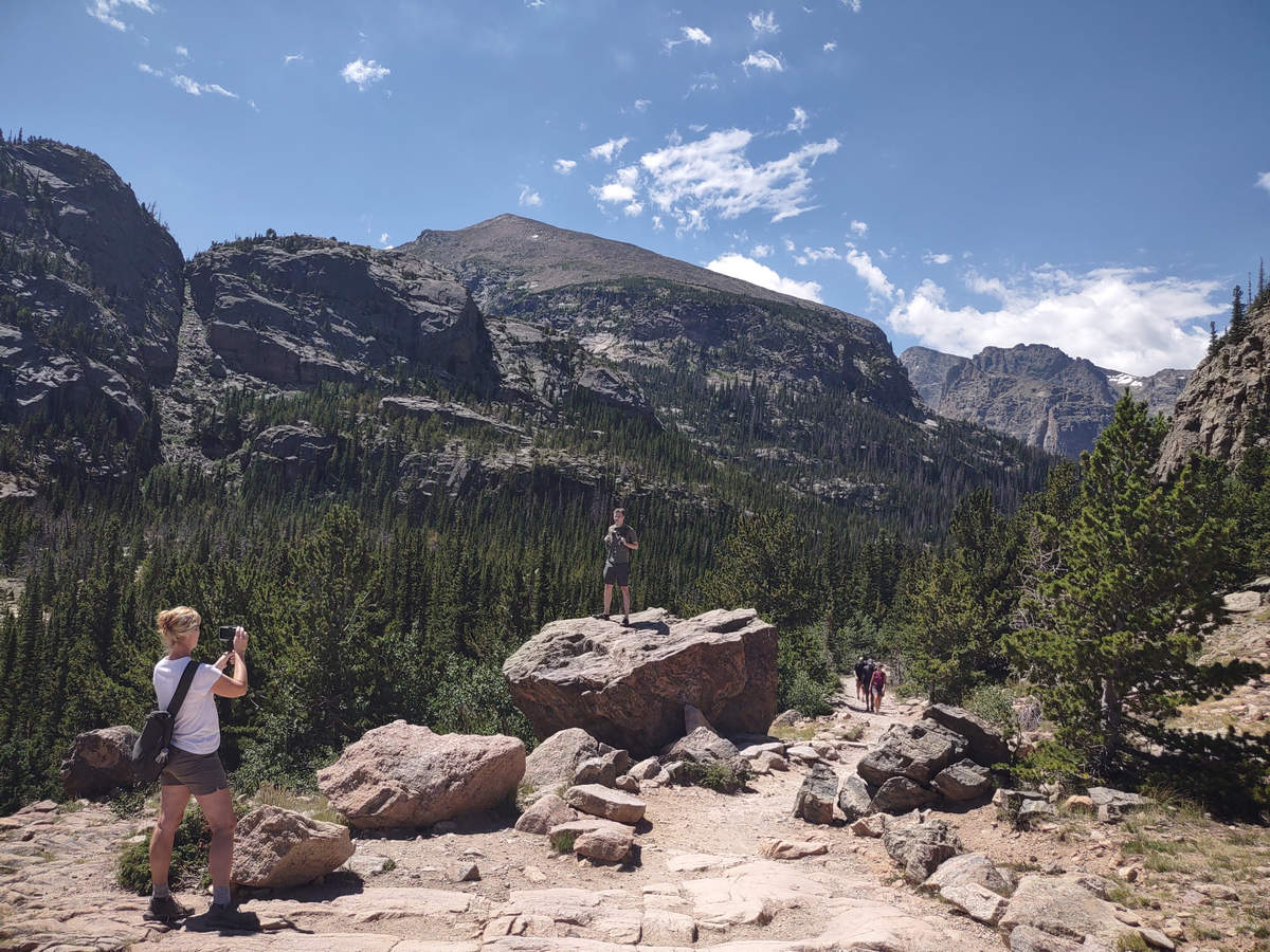
Photo opp!
08/16/2023 12:28 AM -- Location: 40.298732° N, 105.639742° W
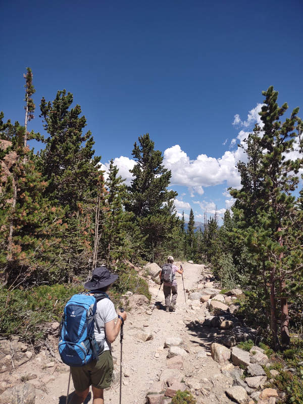
08/16/2023 12:30 AM -- Location: 40.299565° N, 105.639539° W
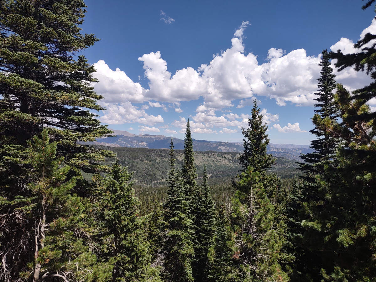
I just love those big puffy clouds.
08/16/2023 12:44 AM -- Location: 40.300843° N, 105.638594° W
08/16/2023 01:17 PM -- Location: 40.309289° N, 105.640939° W
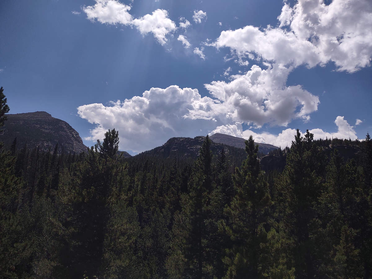
When we got back to the trail head Priscilla suggested we get the shuttle up to Bear Lake. It is a popular destination as it is just a few hundred feet from the parking area. There is a loop trail around the lake but we decided to save that for another time.
08/16/2023 01:37 PM -- Location: 40.312058° N, 105.646405° W
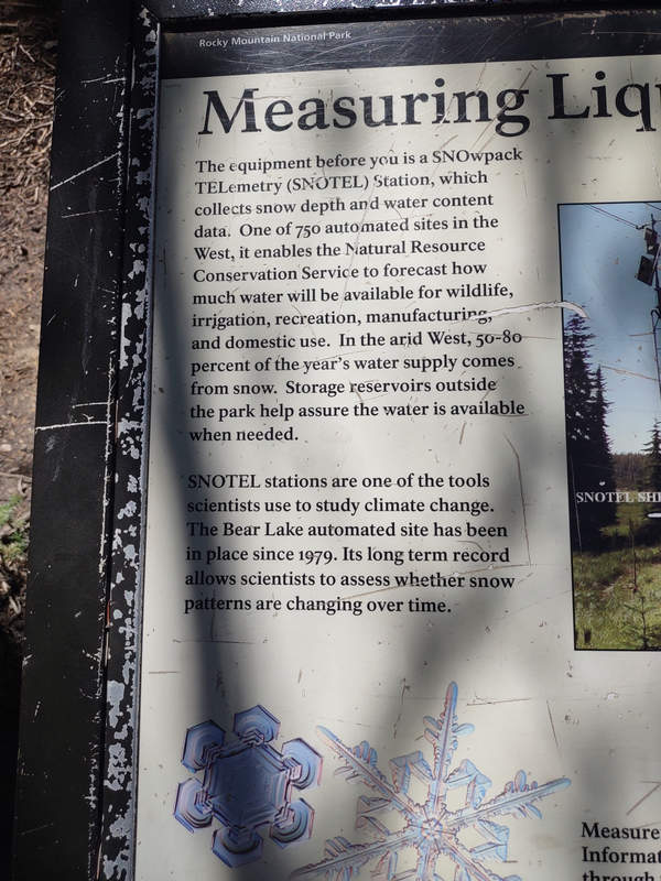
There was an informational sign about the SNOTEL station which we stopped and looked at.
The SNOTEL network is composed of over 900 automated data collection sites located in remote, high-elevation mountain watersheds in the western U.S. They are used to monitor snowpack, precipitation, temperature, and other climatic conditions. The data collected at SNOTEL sites are transmitted to a central database, called the Water and Climate Information System, where they are used to make water supply forecasts.
Source: NRCS
08/16/2023 01:37 PM -- Location: 40.312058° N, 105.646405° W
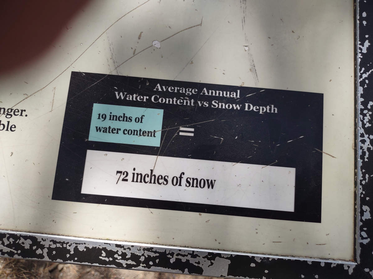
WhoDaThunkIt?!
On the way back we stopped at the Visitors Center to look at the sculpted contour map of the park. It was impressive and nicely done.
Another wonderful hike. Thanks, Priscilla!
See you next time...
Mike and Betsy
