Mike Breiding's Epic Road Trips: August 2023
Colorado
Boulder's Open Space and Mountain Parks
Mount Sanitas via Lion's Lair Spur Trail and Visiting KammerLand
Day 6: Friday, August 18th 2023
Boulder's Open Space and Mountain Parks
Mount Sanitas via Lion's Lair Spur Trail and Visiting KammerLand
Today would be our last day of hiking but not our last day in Colorado. After our hike today Priscilla will drive us south to Littleton to rendezvous with Tom and Heidi Kammer, formerly of Morgantown WV and now living in Colorado Springs (summer) and Port Charlotte FL (winter). Yep, you guessed it - the Retired Life.
We will then spend some time visiting with Tom and Heidi and they will then drive us back to Priscilla's the following day.
Both the Kammers and Priscilla made light of all the driving they did to ensure we had a good visit and we could not have done it without them. Many Thanks!
Priscilla's hiking choice today was relatively close so no early start would be needed. But we still got out a bit earlier than planned to avoid the heat - another day in the 90s was in store for us.
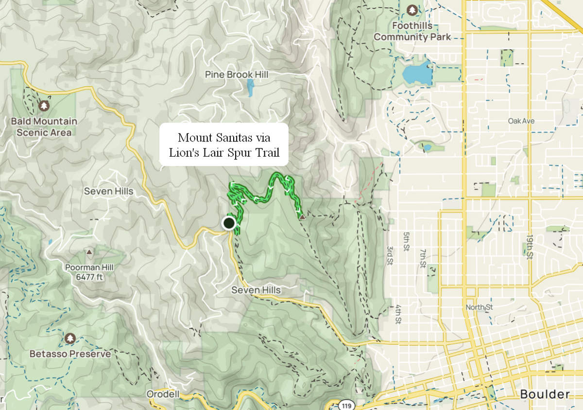
As you can see from the map below there are a number of hiking and open space areas in the foothills near Boulder. The Lion's Lair Spur trail was completed in 2014 and as we found out it is a very popular trail - even on a weekday morning.
Start EL: 6100 Mount Sanitas EL: 6850
Length: 4.65 mi
EL gain: 856 ft
Total time: 2:25
AllTrails Route for Mount Sanitas via Lion's Lair Spur Trail
Click on the photos below for a larger image.
08/18/2023 08:11 AM -- Location: 40.033630° N, 105.315842° W
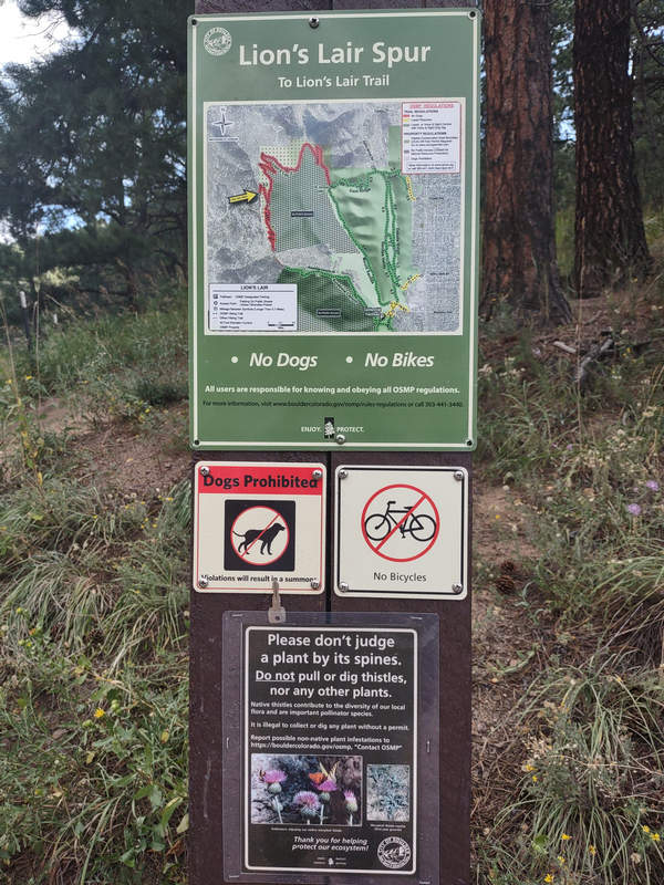
We arrived at the trail head shortly after 8:00. There were already people parked along the roadway but we snagged a spot right by the trail head kiosk.
08/18/2023 08:11 AM -- Location: 40.033630° N, 105.315842° W
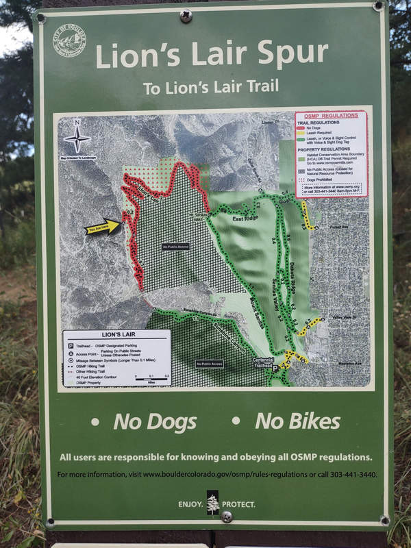
The cross hatching on the map indicates areas where there is no public access to insure resource protection. In other words - Stay on the Trail.
BONUS! No Dogs - No Bikes.
08/18/2023 10:34 AM -- Location: 40.033680° N, 105.315821° W

I am not quite sure who would have taken it upon themselves to start pulling up plants in a protected open space area but someone must have.
08/18/2023 08:13 AM -- Location: 40.033956° N, 105.315758° W
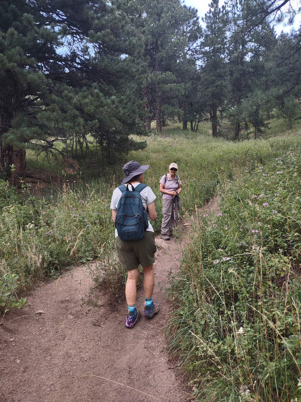
On either side of the trail is a plant I did not expect to see - Monarda, also known as Bee Balm. In West Virginia I am used to seeing Monarda in moist open woodlands not on sunny, dry hillsides.
08/18/2023 08:14 AM -- Location: 40.034516° N, 105.315637° W
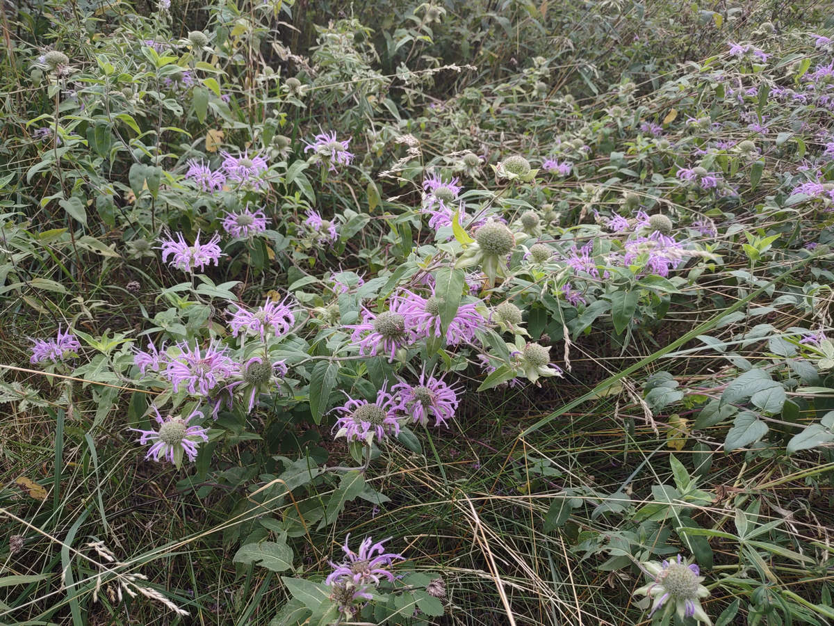
These flowers of Monarda are a favorite of hummingbirds and sphinx moths and they are eaten by horsemint caterpillars.
08/18/2023 08:13 AM -- Location: 40.034186° N, 105.315706° W
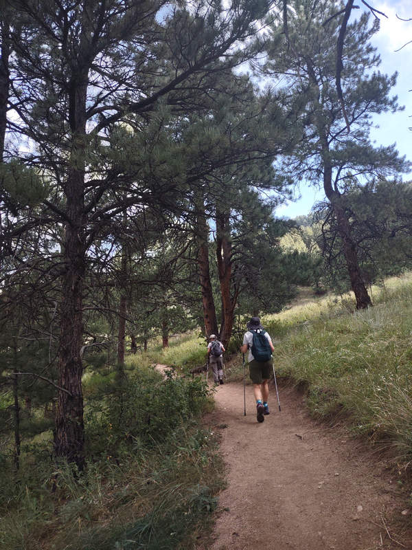
Ponderosa pine dotted the dry grassy hillside.
08/18/2023 08:15 AM -- Location: 40.034264° N, 105.315339° W
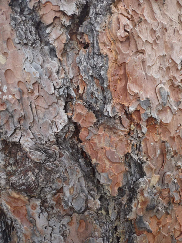
The beautiful bark of the Ponderosa Pine.
08/18/2023 08:19 AM -- Location: 40.032596° N, 105.314606° W
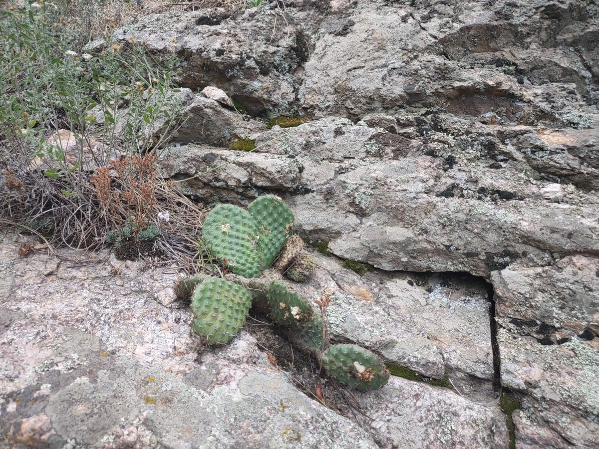
Dry indeed. Dry enough for cactus to thrive. This is one of the species of Opuntia which is also know as prickly pear and beaver tail cactus.
08/18/2023 08:20 AM -- Location: 40.032508° N, 105.314605° W
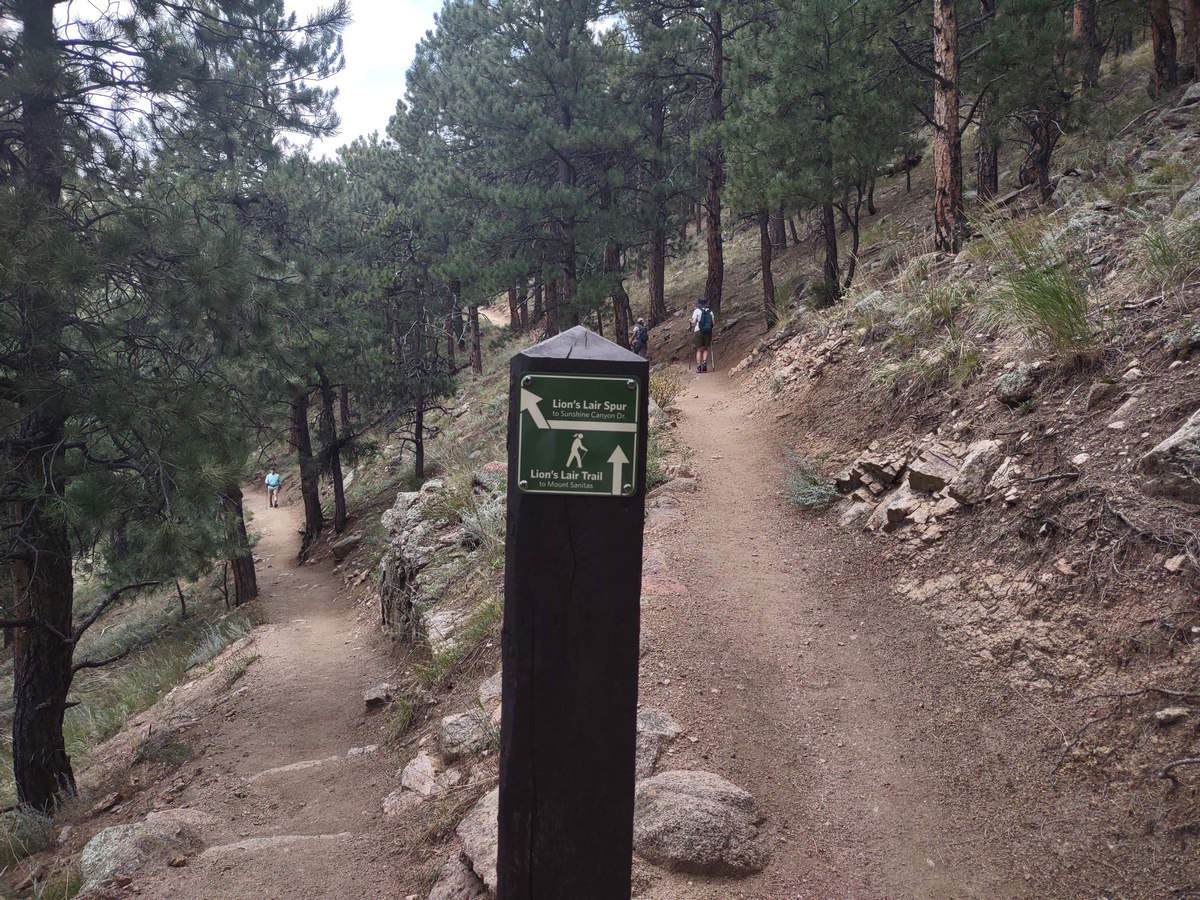
The trail was first rate with a mostly smooth surface and nicely signed and switch backed.
08/18/2023 08:20 AM -- Location: 40.032730° N, 105.314563° W
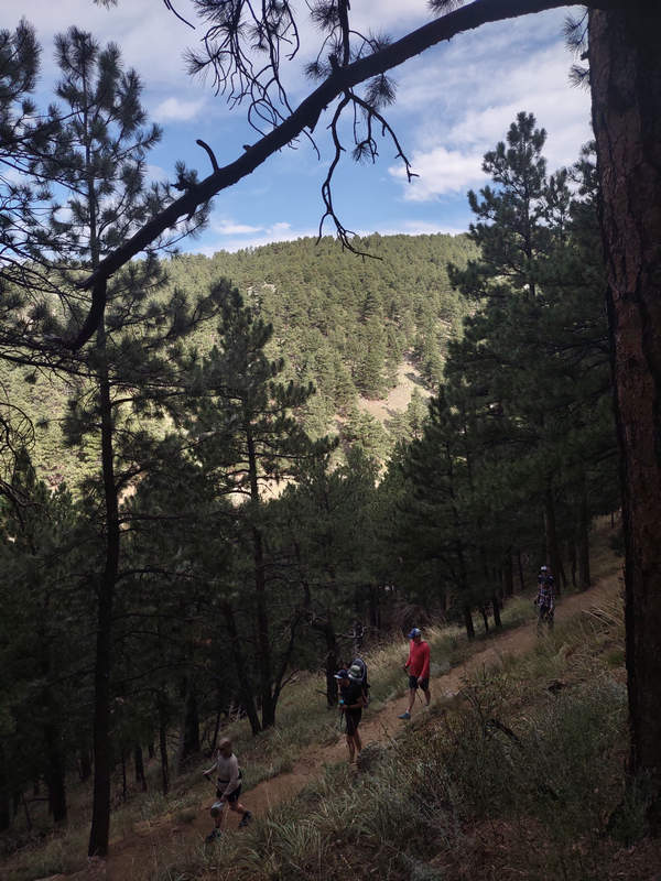
As we climbed the views opened up and we could easily see the other hikers below us.
08/18/2023 08:26 AM -- Location: 40.035453° N, 105.314413° W
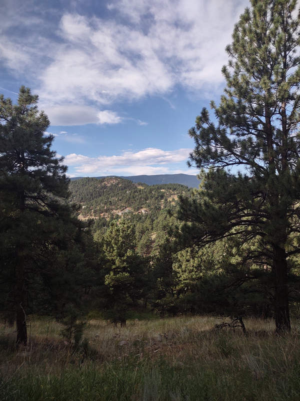
Looking to the northwest and into the Rocky Mountains.
08/18/2023 08:27 AM -- Location: 40.035766° N, 105.314814° W
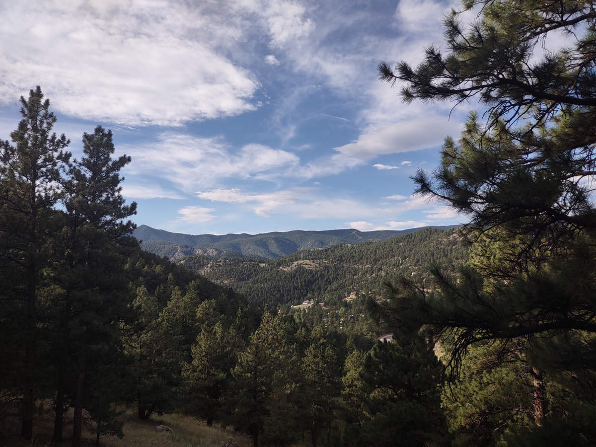
08/18/2023 08:32 AM -- Location: 40.036622° N, 105.314794° W
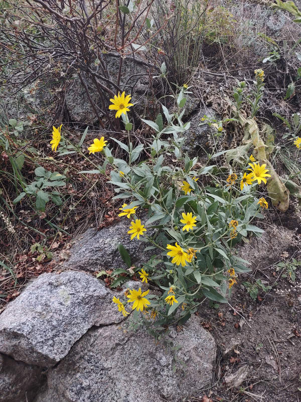
A Helianthus species?
08/18/2023 08:33 AM -- Location: 40.036625° N, 105.314736° W
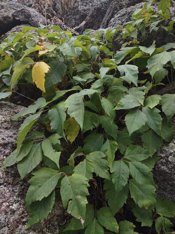
Ahhh... an old friend from home - poison ivy.
08/18/2023 08:34 AM -- Location: 40.036499° N, 105.314550° W
Whoops! A misfire.
08/18/2023 08:35 AM -- Location: 40.036509° N, 105.314521° W
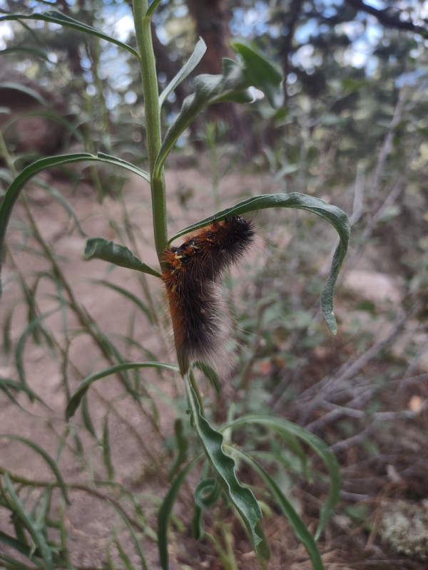
This may be a Garden tiger moth caterpillar. The long hairs are known to be an irritant and may cause itching and stinging when in contact with bare skin.
08/18/2023 08:36 AM -- Location: 40.036435° N, 105.314519° W
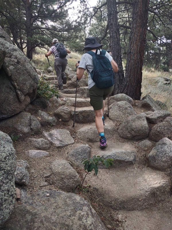
This rock staircase was nicely done. Rock is the most long-lasting building material for trail work, and generally blends with the natural landscape better than wooden structures. There is a good supply of rocks here - we are in the Rocky Mountains!
08/18/2023 08:37 AM -- Location: 40.036011° N, 105.313613° W
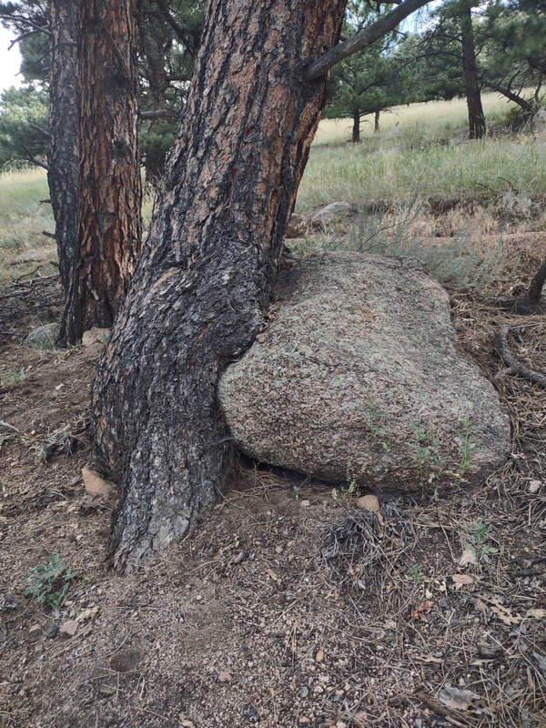
Who is eating whom?
08/18/2023 08:40 AM -- Location: 40.036909° N, 105.314282° W
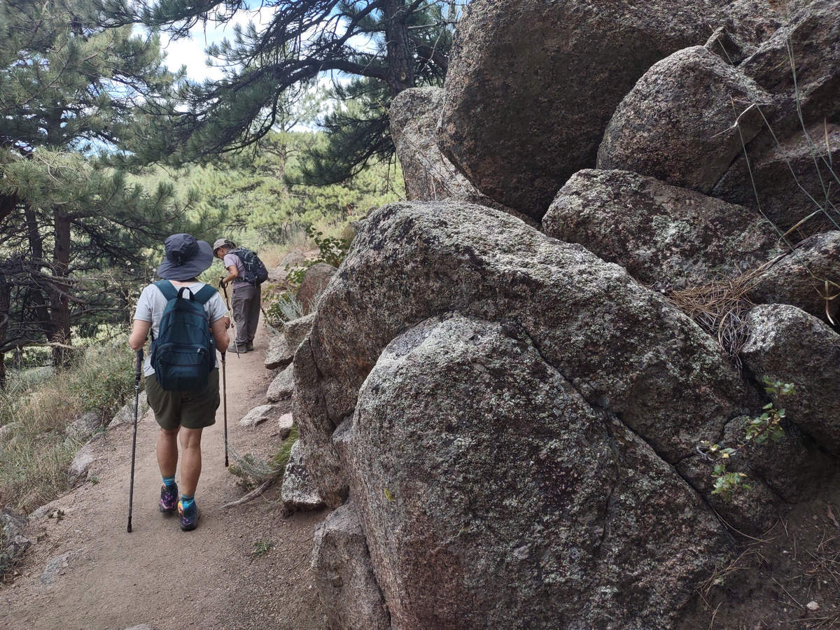
Very scenic to have these nice rock boulders right along the trail. How fitting since we are so close to Boulder.
08/18/2023 08:42 AM -- Location: 40.037451° N, 105.315299° W

As we found out this is a very popular trail for runners. Check out those calves!
08/18/2023 08:48 AM -- Location: 40.037622° N, 105.314331° W
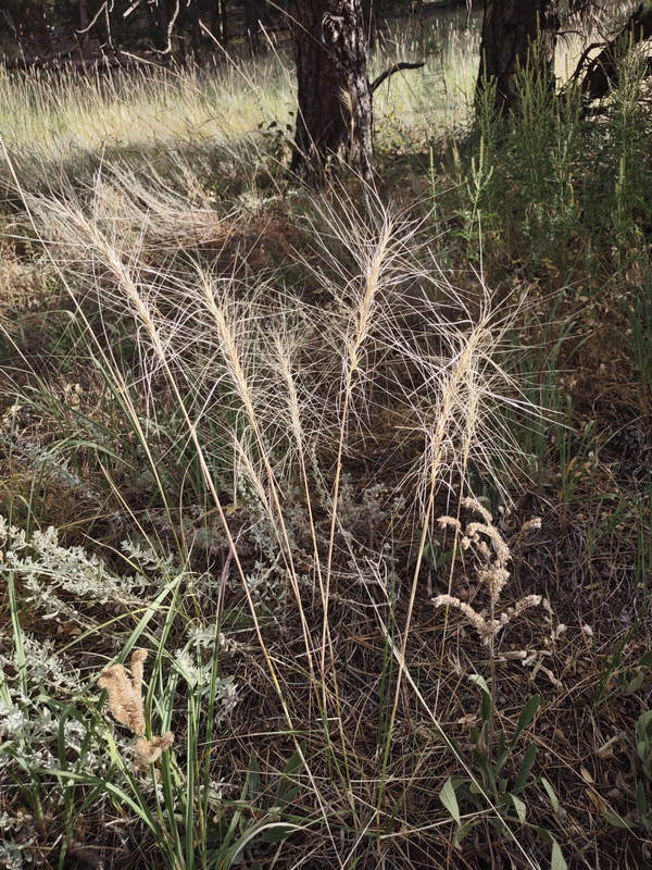
There was lots of natural beauty here which I hope others noticed and appreciated.
08/18/2023 08:51 AM -- Location: 40.036938° N, 105.313155° W
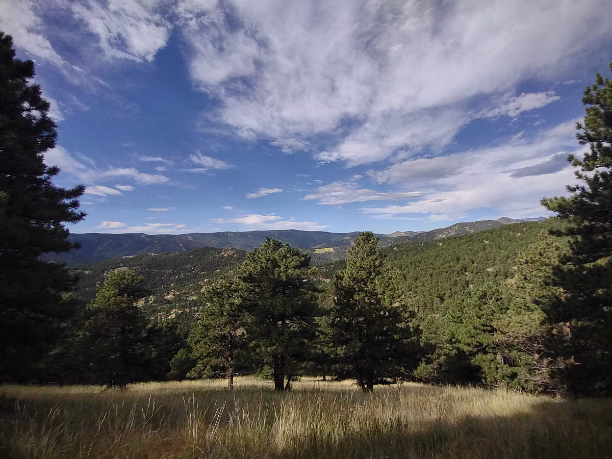
Love them clouds...
08/18/2023 09:00 AM -- Location: 40.036746° N, 105.310081° W
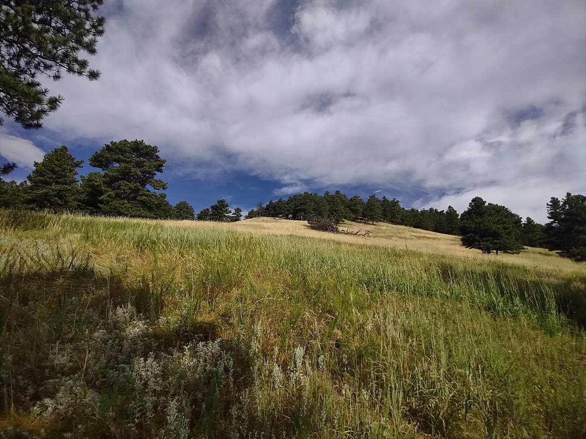
A very nice change of scenery. If all those pines were oaks it would have looked very much like the oak savannas of the Central Valley of California.
08/18/2023 09:24 AM -- Location: 40.034270° N, 105.305496° W
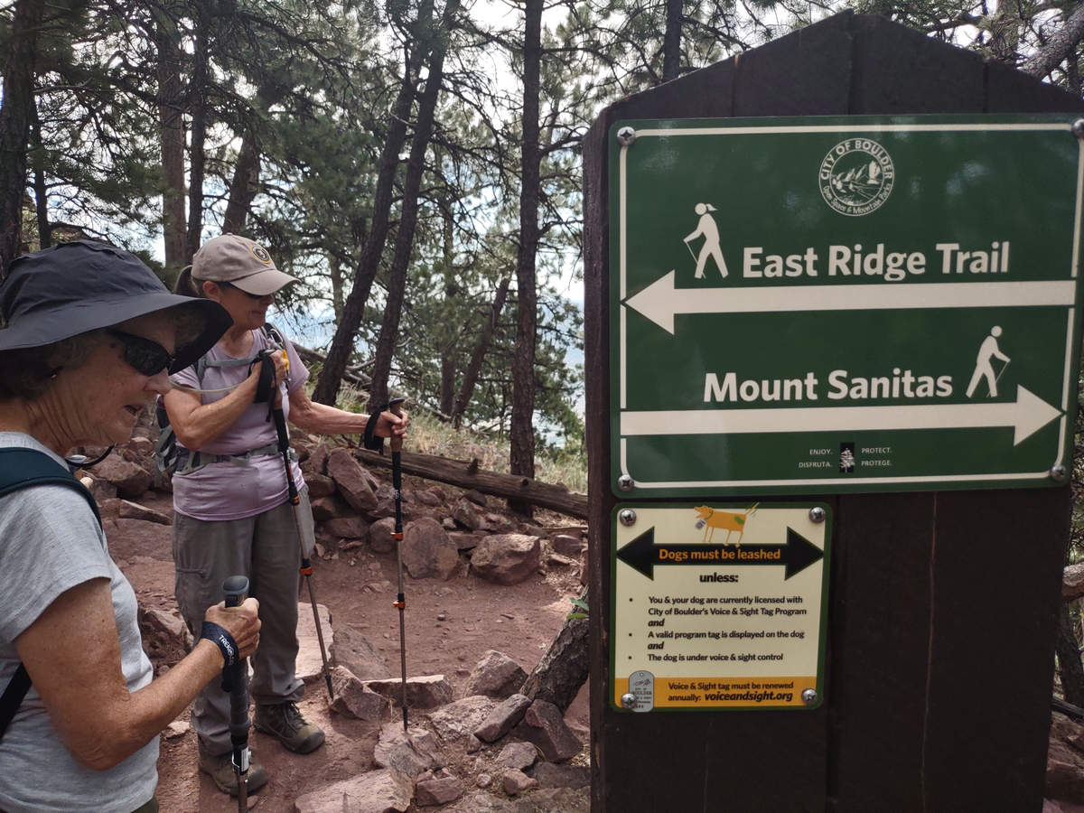
This sign for the East Ridge Trail makes it quite clear your dog must be on leash or registered with the City of Boulder and have a Voice and Sight tag.
08/18/2023 09:25 AM -- Location: 40.034244° N, 105.305454° W
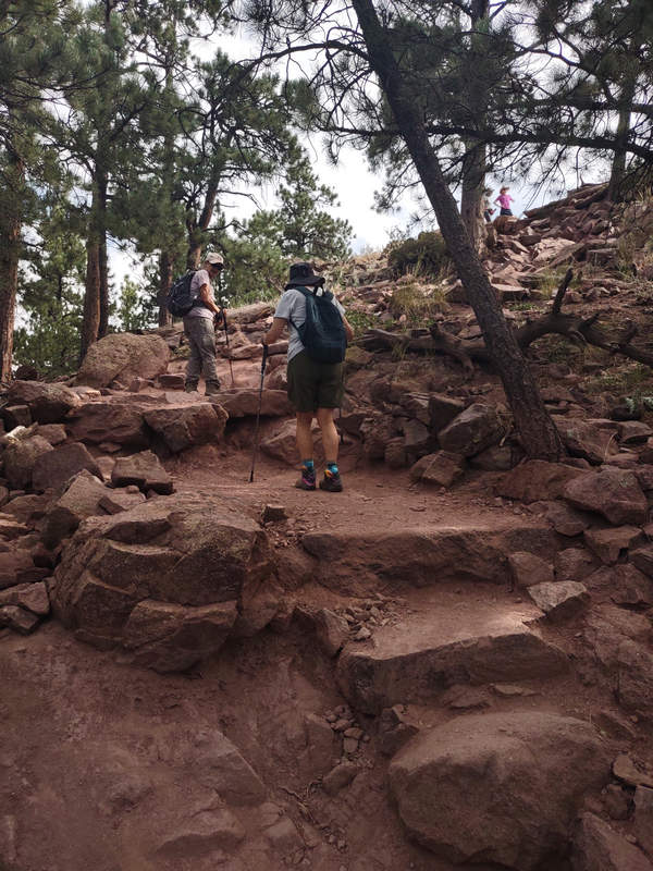
These steps were a little tougher to negotiate but these Robust Elderlies had no problem.
08/18/2023 09:25 AM -- Location: 40.034326° N, 105.305416° W
Whoops! Another misfire.
Photo by Priscilla
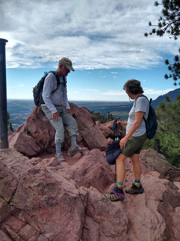
Here we are at the summit of Mount Sanitas.
08/18/2023 09:26 AM -- Location: 40.034397° N, 105.305267° W
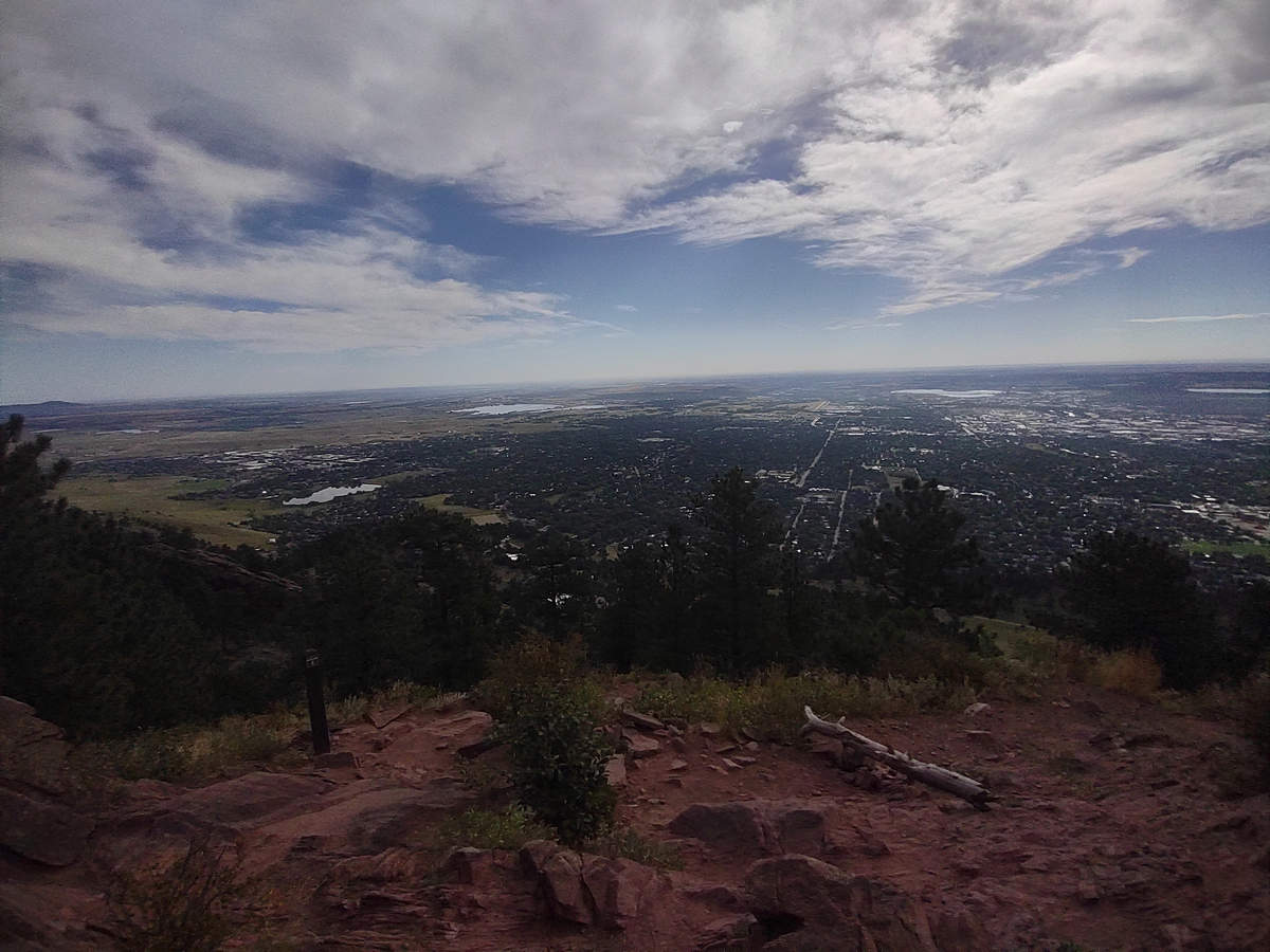
Mount Sanitas was named after the Boulder Sanitarium which once sat at the base of the mountain. There are several interesting articles about the Sanitarium on the web:
A Final Goodbye To A Dear Old Friend
History of the Boulder Colorado Sanitarium
08/18/2023 09:26 AM -- Location: 40.034397° N, 105.305267° W
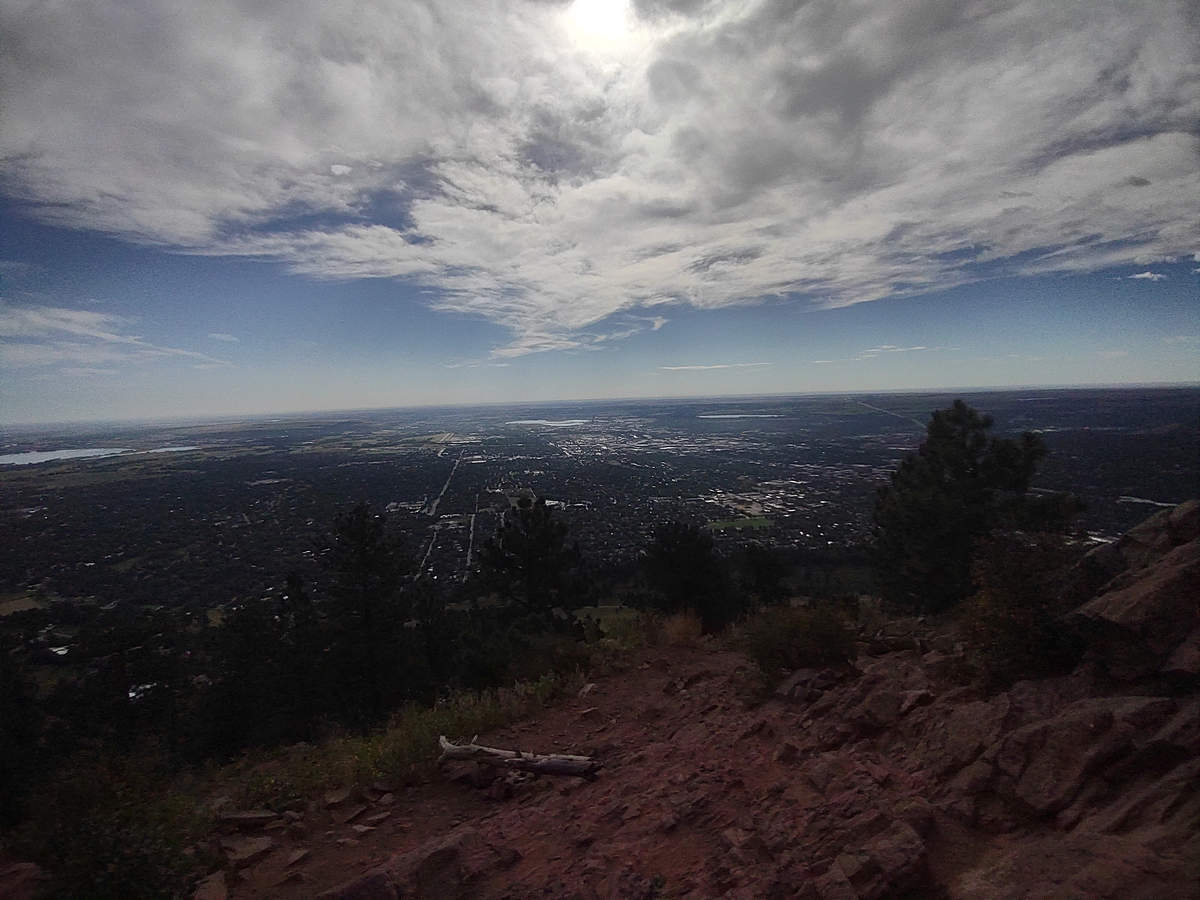
A view of The City of Boulder and the flat plains which go on for miles to Kansas and beyond.
08/18/2023 09:27 AM -- Location: 40.034371° N, 105.305251° W

08/18/2023 09:48 AM -- Location: 40.036931° N, 105.307398° W
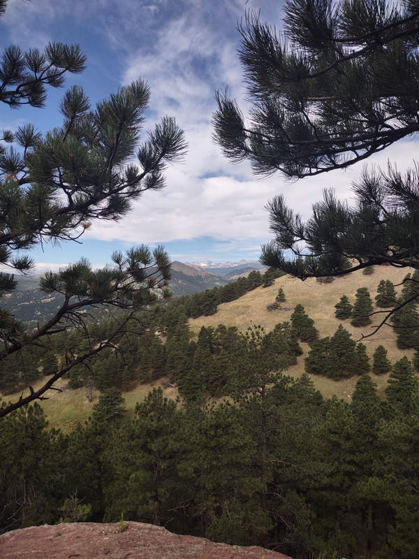
The nice views on the way down made for a very pleasant hike.
08/18/2023 09:49 AM -- Location: 40.036883° N, 105.307400° W
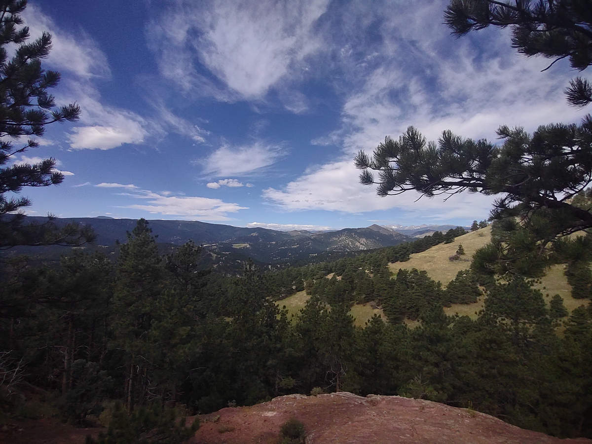
Do you see the snow?
08/18/2023 09:49 AM -- Location: 40.036921° N, 105.307408° W
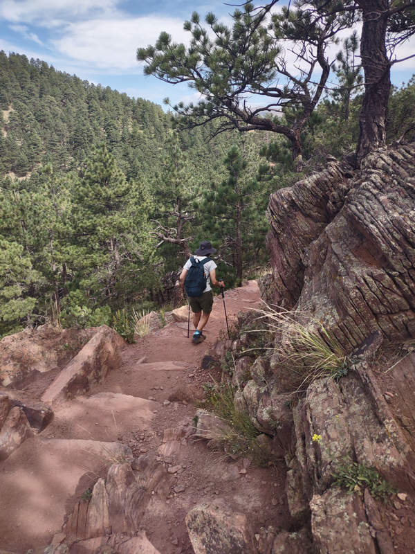
Betsy's mom might have said of this outcrop: "They are leaning towards Fishers".
08/18/2023 10:41 AM -- Location: 40.020334° N, 105.297187° W
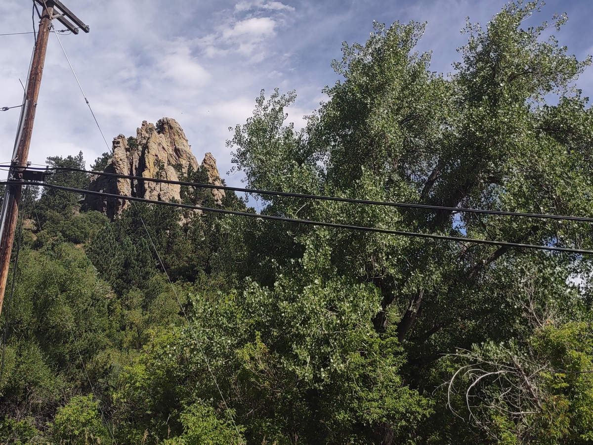
A little bit ago we were up there - the Summit of Mount Sanitas. It was a good way to wrap up the week of hiking.
When we got back to Priscilla's we packed an overnight bag and then we went down to Littleton where we got picked up by Tom and Heidi and we were soon at their place in Colorado Springs.
08/18/2023 05:48 PM -- Location: 38.925338° N, 104.660405° W
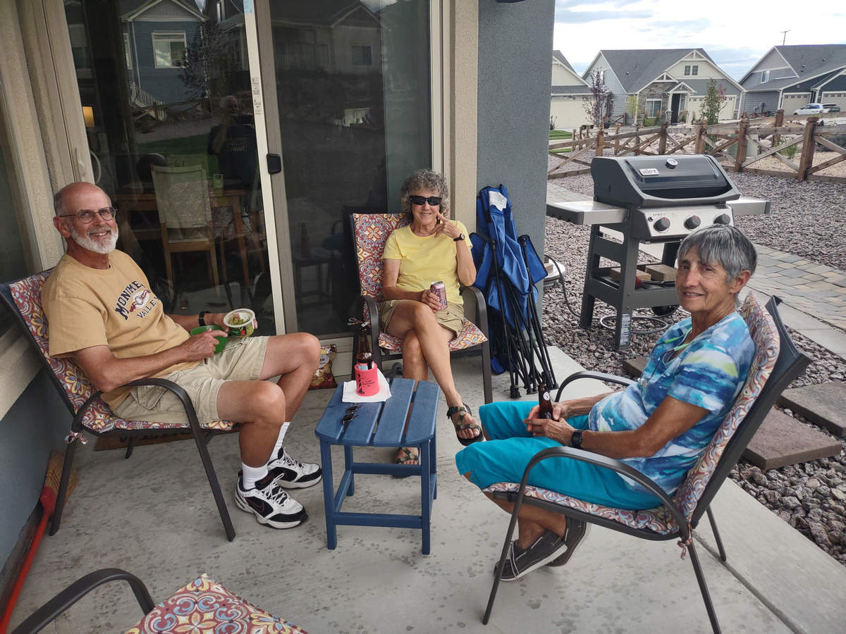
No visit is complete without Happy Hour!
We got the DeLuxe tour of their new house and grounds and the next day took a walk around the neighborhood.
We had hoped to make a trip to Dinosaur Ridge but it was too danged hot. Next time.
The route we took back to Priscilla's on Saturday followed the front range of the Rockies. It was an interesting drive for the most part and we did some windshield geologizing along way.
We said our farewells to Heidi and Tom. Maybe we will see them in Tucson this winter?
We had a nice Last Happy Hour with Priscilla followed by a delicious tomato/chicken/lentil stew.
Then before you know it was 3:15 am and time for a quick cup of coffee and the drive to the Denver Airport for our 6:30 departure. The flight was only 2hrs and 45 min. My row companions were a couple who had been visiting an Army buddy in Denver. The party continued on the plane as they downed 3 drinks each and got kinda goofy.
Now we are back in out beloved West Virginia enjoying the lush greenery, flowering Joe-Pye weed and the butterflies which are visiting them.
"Can't wait to leave, can't wait to get home."
See you next time...
Mike and Betsy
August 2023
Colorado - Hiking the Rocky Mountain Area
Day 1-2
An overnight with Old Friends
The Airport, Denver Flight and Pick-up
NCAR Trail and the Fabulous Flatirons - Boulder
Boulder Falls
Coal Creek Trail - Lafayette
Day 3
Rocky Mountain NP: Wild Basin - Hiking to the Falls of Ouzel Creek
Day 4
Rocky Mountain NP: Hiking to Mills Lake
Day 5
Hiking to Blue Lake in the Indian Peaks Wilderness Area
Roosevelt National Forest
Day 6
Mount Sanitas via Lion's Lair Spur Trail
and Visiting KammerLand

